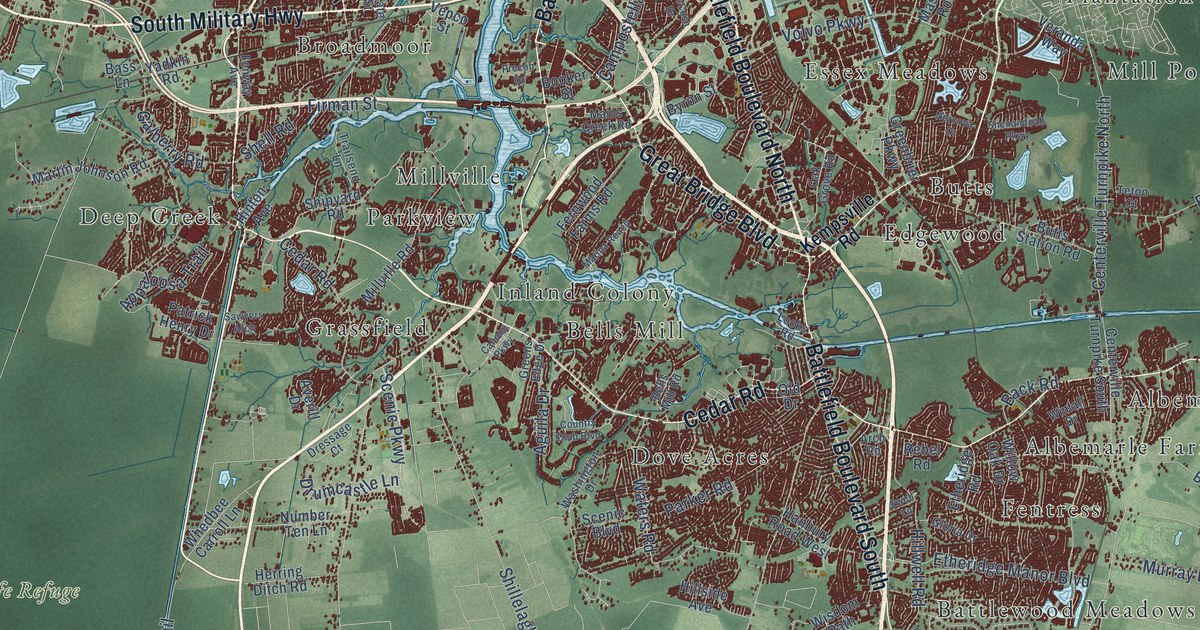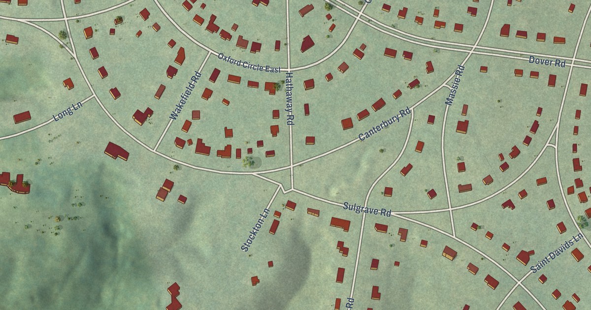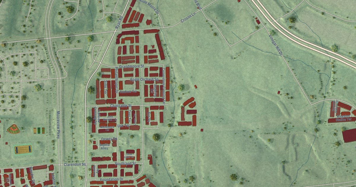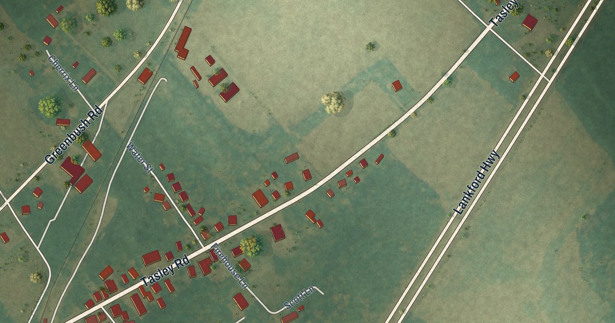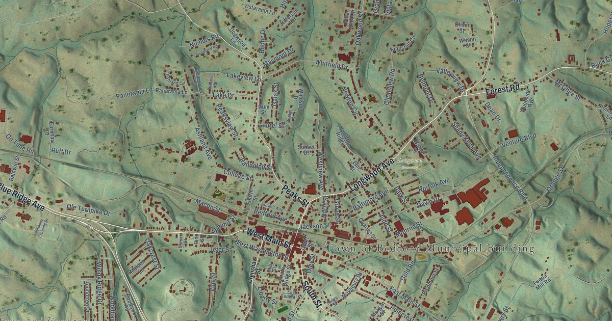
This beautifully detailed map of Bedford, Virginia was created in 2026 using aerial imagery combined with modern topographical, census, street and landmark data. It’s a one-of-a-kind view of Bedford that combines accurate data with a vintage aesthetic. The map shows every building in its true location, many of the roads carry their names, and the shaded topographic relief shows the shape of the land.
Explore an aerial view of Bedford, Virginia
On the map you’ll find Town of Bedford Municipal Building, North Hills, Town and Country, Northwood Heights, and Longwood Cemetery, along with Blue Ridge Avenue, Longwood Avenue, West Main Street, East Lynchburg Salem Turnpike, Peaks Street, Burks Hill Road, South Street, and more. If you look closely you can even find your house accurately drawn in its correct location. Zoom in on the preview to look for yours.
Did you know this piece of Bedford, Virginia history?
From Vcris.dhr.virginia.gov: "Gibson High School opened just northeast of here in 1954 to serve African Americans in Bedford, Town and County."
Take a closer look at the Bedford map
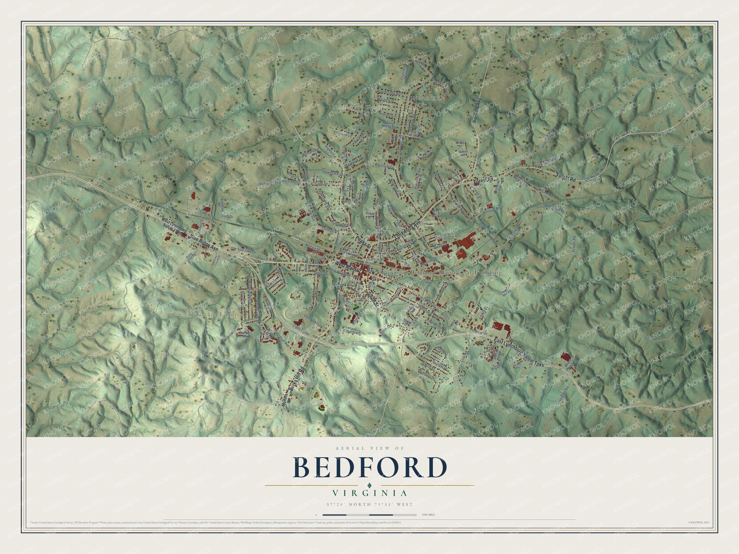
Street and place names on the Bedford, Virginia map
These names are printed on the map of Bedford, Virginia.
Places: Town of Bedford Municipal Building, North Hills, Town and Country, Northwood Heights and Longwood Cemetery.
Streets and roads: Blue Ridge Avenue, Longwood Avenue, West Main Street, East Lynchburg Salem Turnpike, Peaks Street, Burks Hill Road, South Street, Forest Road, West Washington Street, Oakcrest Street, Independence Boulevard, Link Road.
More street names, A to Z
Ashland Avenue, Ashland Circle, Baldwin Street, Baltimore Avenue, Bedford Avenue, Bell Town Road, Belmont Drive, Big Island Highway, Bills Road, Boone Drive, Boxwood Terrace, Burwell Way, Charolais Farm Road, Clearview Road, College Street, Coolbrook Road, Coral Lane, Court Street, Crenshaw Street, Dawn Drive, Dean Drive, Dillons Way, Dogwood Lane, Draper Road, Earnhart Drive, East Federal Street, East Main Street, Edmond Street, Elm Street, Emerald Crest Drive, Fairview Drive, Fourth Street, Fuqua Mill Road, Galax Street, Garrets Lane, Gold Road, Grandview Road, Granite Drive, Grove Street, Gum Street, Hampton Ridge, Harmony Crossing Drive, Haven Hill Lane, Helm Street, High Acre Road, Hill Crest Street, Hopes Way, Industrial Avenue, Jackson Street, Jdk Street, Jefferson Terrace, Jeter Street, Joseph's Way, Judd Street, Kingston Circle, Lake Drive, Lakeview Lane, Laurel Street, Liberty Street, Lowry Street, Lyle Street, Macon Street, Maiden Lane, Maybeury Drive, Maymont Drive, McGhee Street, Mill Street, Mockingbird Circle, Moneta Road, Monroe Street, Morgan Street, Newton Circle, Nichols Road, Norfolk Avenue, North Branch Road, North Street, Oakwood Street, Ole Turnpike Drive, Oliver Street, On Time Road, Orange Street, Otey Street, Overlord Circle, Panarama Lane, Panorama Lane, Park Street, Peakland Court, Peaksview Street, Phillips Park Drive, Piedmont Street, Pinecrest Avenue, Pine Street, Poindexter Lane, Pony Acre Road, Poplar Street, Quarles Street, Randolph Street, Rendezvous Lane, Ridge Street, Roberts Lane, Rock Castle Road, Roundtree Drive, Ruff Drive, Shady Knoll Avenue, Shiloh Church Road, Short Street, Smith Street, South Bridge Street, Spring Hollow Road, Spruce Street, Stratford Drive, Summit Street, Sunset Drive, Tiger Trail, Towngate Road, Valleyview Drive, Venable Street, Venture Boulevard, Villa Oak Circle, Vine Street, Vista Circle, Vistarama Lane, Walnut Street, West Lynchburg Salem Turnpike, Westview Avenue, Whitfield Drive, Wildwood Drive, Wilson Street, Windsor Drive, Windy Ridge Drive, Woodcreek Road, Woodcrest Drive, Woodhaven Drive, Woodland Road, Woodside Avenue, Wycliffe Street.
See the Bedford, Virginia map on a wall
The Bedford map as an 18 x 24 inch print in a black frame.

This beautifully detailed map of Bedford makes an attractive addition to your office, library, or den, and it can even be used to teach children the geography and history of the area. It also makes a great gift for anyone who grew up in Bedford or moved away. When you’re done exploring, click here to get your copy of the Bedford map.