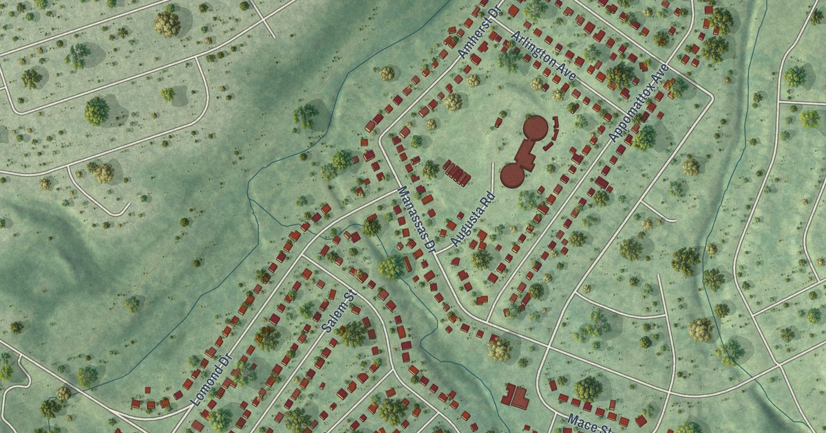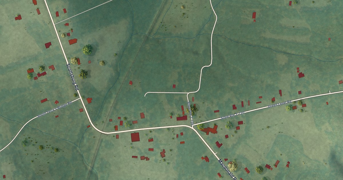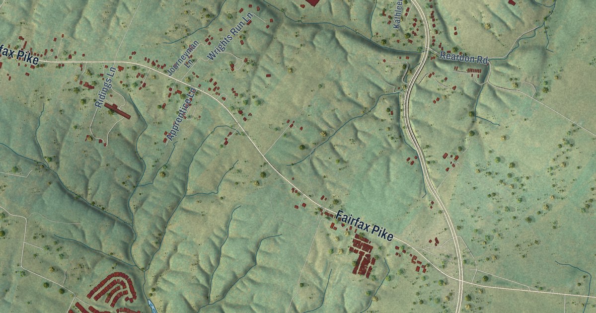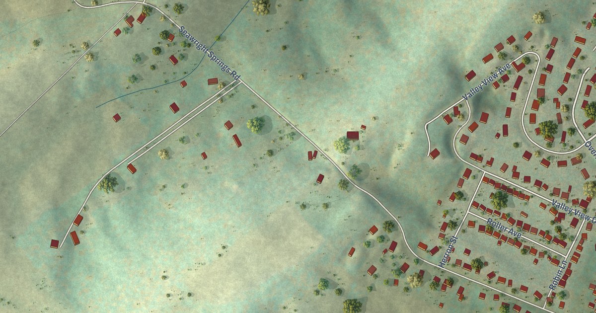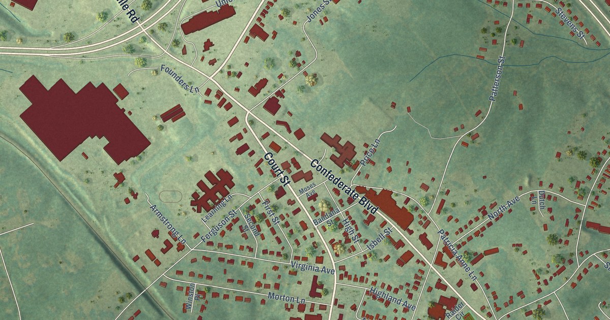
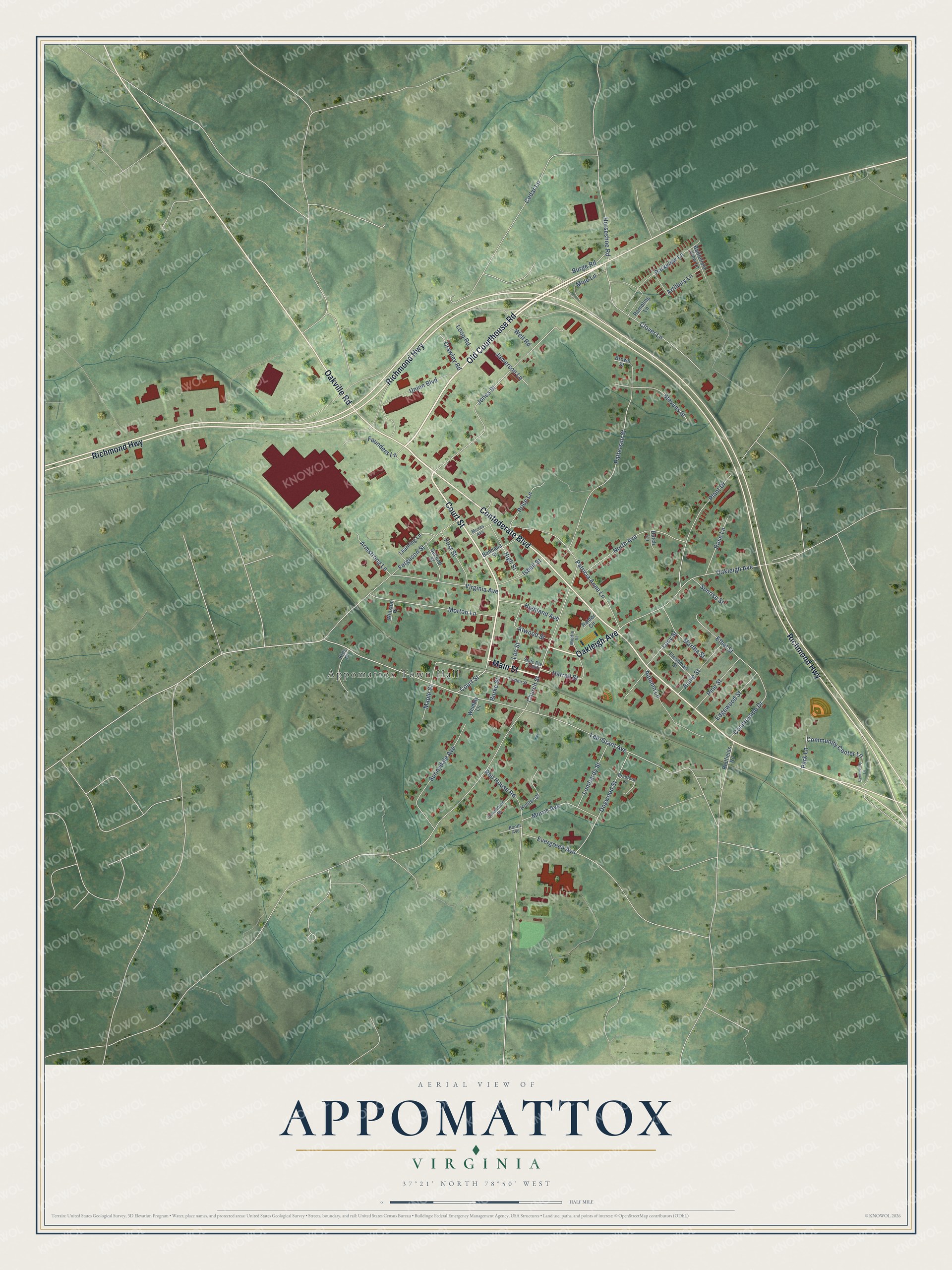
This beautifully detailed map of Appomattox, Virginia was created in 2026 using aerial imagery combined with modern topographical, census, street and landmark data. It’s a one-of-a-kind view of Appomattox that combines accurate data with a vintage aesthetic. The map shows every building in its true location, many of the roads carry their names, and the shaded topographic relief shows the shape of the land.
Explore an aerial view of Appomattox, Virginia
On the map you’ll find Appomattox Town Hall, along with Old Courthouse Road, Main Street, Confederate Boulevard, Court Street, Oakleigh Avenue, Oakville Road, Richmond Highway, Lee-Grant Avenue, Red House Road, Church Street, Jones Street, and more. If you look closely you can even find your house accurately drawn in its correct location. Zoom in on the preview to look for yours.
Did you know this piece of Appomattox, Virginia history?
The town grew around Appomattox Station, a depot on the Southside Railroad. In April 1865 Robert E. Lee made a last try to reach it and move his army south by rail. Federal troops blocked the way, and Lee surrendered to Grant on April 9.
Take a closer look at the Appomattox map
Street and place names on the Appomattox, Virginia map
These names are printed on the map of Appomattox, Virginia.
Places: Appomattox Town Hall.
Streets and roads: Old Courthouse Road, Main Street, Confederate Boulevard, Court Street, Oakleigh Avenue, Oakville Road, Richmond Highway, Lee-Grant Avenue, Red House Road, Church Street, Jones Street, Patterson Street.
More street names, A to Z
Annie Street, Armstrong Lane, Artillery Lane, Atwood Street, Autumn Lane, Bandana Street, Battlefield View Lane, Booth Avenue, Bradford Lane, Brown Street, Burge Road, Burke Street, Cawthorne Street, Cedar Lane, Clover Lane, Community Center Lane, Community Lane, Countryside Drive, Crawley Road, Dogwood Street, Dutch Lane, Edgewood Street, Ethel Street, Evergreen Avenue, Ferguson Street, First Street, Fleshman Street, Founders Lane, Harrell Street, Highland Avenue, High Street, Horseshoe Road, Hunter Street, Isbell Street, Jamerson Lane, Kids Place, Learning Lane, Lee Street, Linden Street, Lombardy Street, Loop Road, Lucy Street, Maple Street, Martha Street, Middle Street, Morris Avenue, Morton Lane, Moses Avenue, Mule Lane, North Avenue, Park Lane, Parkview Lane, Patricia Anne Lane, Pine Street, Plant Drive, Price Lane, Raider Circle, Rambling Lane, Redfields Road, Rose Lane, Second Street, State Route T-1060, Stevens Street, Sunnydale Avenue, Sunrise Street, Union Boulevard, Virginia Avenue, Well Road, Wembly Lane, Winston Place.
See the Appomattox, Virginia map on a wall
The Appomattox map as an 18 x 24 inch print in a black frame.

This beautifully detailed map of Appomattox makes an attractive addition to your office, library, or den, and it can even be used to teach children the geography and history of the area. It also makes a great gift for anyone who grew up in Appomattox or moved away. When you’re done exploring, click here to get your copy of the Appomattox map.