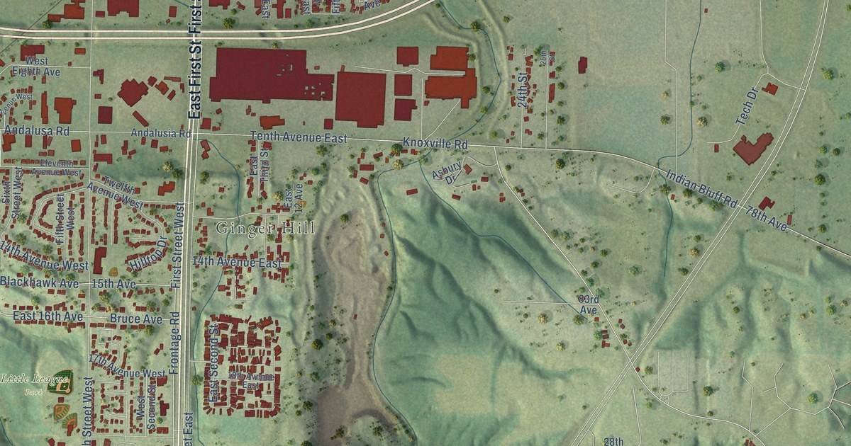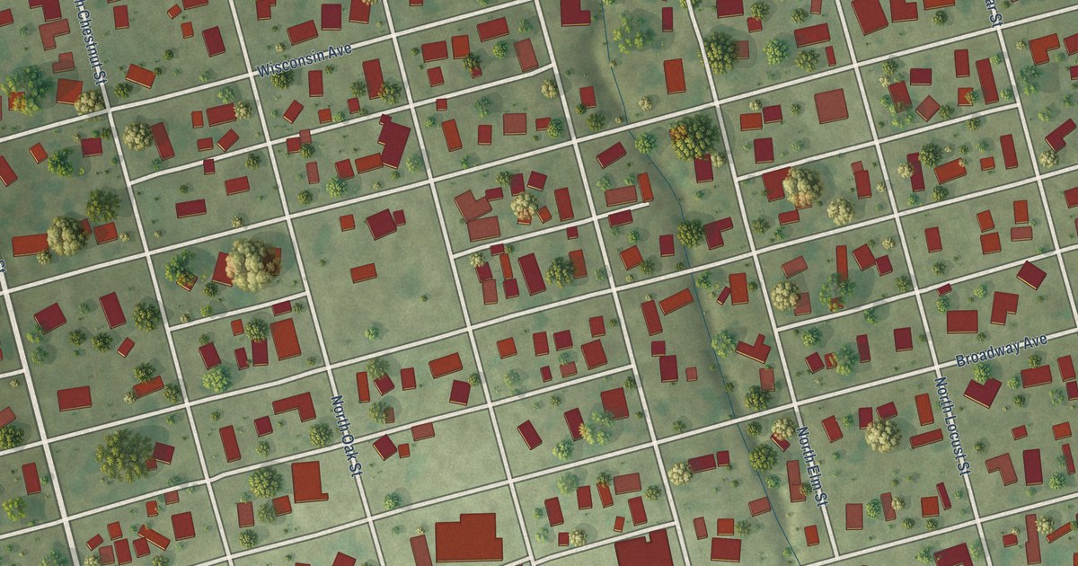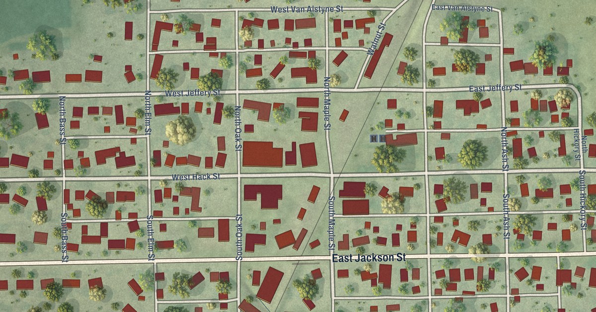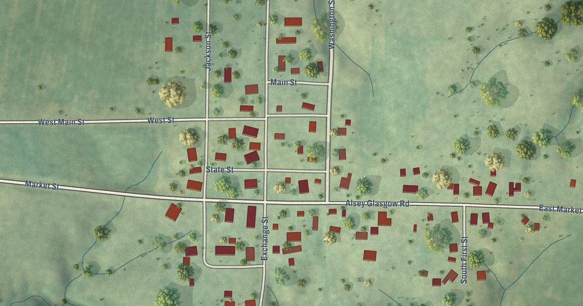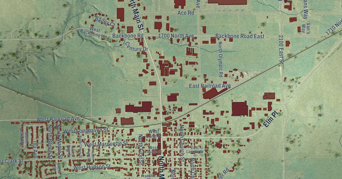
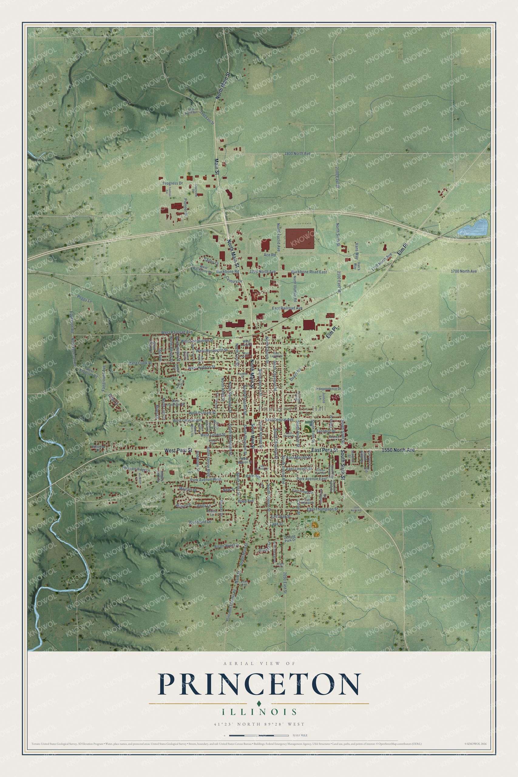
This beautifully detailed map of Princeton, Illinois was created in 2026 using aerial imagery combined with modern topographical, census, street and landmark data. It's a modern aerial view of Princeton in Bureau County, Illinois, that combines modern data with a vintage aesthetic. The roads feature printed names, and if you look closely you can find your exact house accurately shown in its correct location.
Explore an aerial view of Princeton, Illinois
On this map you'll find Princeton City Hall, Alexander Park, Oakland Cemetery, Zearing Park, North Main Street, Main Street, South Sixth Street, East Peru Street, 1550 North Avenue, West Peru Street, Elm Place, West Central Avenue, and more. Each red shape is a building, so zoom in on the preview and look for yours.
Every town has a first chapter, and Princeton is no exception. The Bureau County History puts it this way: "On the 6th of April, 1857, the first town council was voted for, in the just then incorporated town of Princeton."
Princeton is a city in Bureau County. The Census Bureau counted 7,832 people here in 2020.
Take a closer look at the Princeton map
Names on this map
These names are printed on this map.
Places: Princeton City Hall, Alexander Park, Oakland Cemetery and Zearing Park.
Streets and roads: North Main Street, Main Street, South Sixth Street, East Peru Street, 1550 North Avenue, West Peru Street, Elm Place, West Central Avenue, East Central Avenue, Fairground Avenue, South Main Street, West Clark Street.
More street names, A to Z
1500 North Avenue, 1700 North Avenue, 1710 North Avenue, 1800 North Avenue, 1835 North Avenue, 1990 East Street, 2050 East Street, 2100 East Street, Ace Road, Aleta Street, Anderson Street, Anita Lane, Backbone Road, Backbone Road East, Bailey Court, Boyd Avenue, Briar Lane, Bruce Lane, Bryant Avenue, Bryant Boulevard, Bryant Woods Drive, Carter Street, Century Drive, Coleita Court, Dallas Street, Dover Road, Downey Drive, East Billings Street, East Columbus Street, East Crown Street, East Lasalle Street, East Lincoln Street, East Marion Street, Eastmor Drive, East Oak Street, East Prouty Drive, East Railroad Avenue, East Thompson Street, Epperson Road, Erickson Drive East, Franklin Street, Fritz Drive, Grainview Drive, Hidden Lake Drive, Hillview Drive, Ina Avenue, Independence Drive, Innsbruck Lane, Justice Lane, Lake Street, Martenson Lane, Mayfair Drive, Miles Court, New Street, North Beech Street, North Cherry Street, North Chestnut Street, North Church Street, North Epperson Road, North Euclid Avenue, North First Street, North Fox Creek Lane, North Homer Street, North Knox Street, North Linn Street, North Lora Avenue, North Maple Street, North Mercer Street, North Olympic Road, North Pine Street, North Pleasant Street, North Plum Street, North Randolph Street, North Sixth Street, North Vernon Street, Orange Street, Park Avenue, Park Avenue East, Park Avenue West, Park Lane, Peggy Lane, Pheasant Ridge Lane, Pioneer Drive, Prairie Lane, Princeton Tiskilwa Road, Progress Drive, Seventh Street, South Cherry Street, South Chestnut Street, South Church Street, South Euclid Avenue, South Fifth Avenue Drive, South Fifth Street, South First Street, South Fletcher Street, South Gosse Boulevard, South Gosse Street, South Homer Street, South Mercer Street, South Ninth Street, South Pleasant Street, South Plum Street, South Randolph Street, South Tenth Street, South Vernon Street, Sunset Drive, Tradition Avenue, Van's Way, Vans Way, West Backbone Road, West Crown Street, West Epperson Road, West Farnham Street, West Hudson Street, West Lasalle Street, West Longhaven Street, West Long Street, West Marion Street, West Marquette Street, West Putnam Street, West Railroad Avenue, Woodland Drive, Zearing Park Drive.
Created by KNOWOL in 2026. The buildings are small red shapes, the roads carry their printed names, and shaded relief shows the shape of the land. The title panel reads "AERIAL VIEW OF PRINCETON ILLINOIS" with 41°23' NORTH 89°28' WEST.
Hang it in the hallway, the office or the cabin, or give it to someone who left Princeton and still calls it home. Open the preview and look for a street you know. See sizes and frames for the Princeton map.