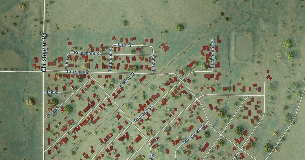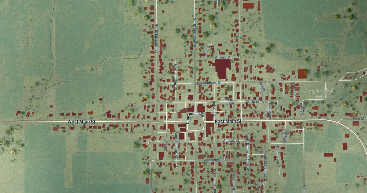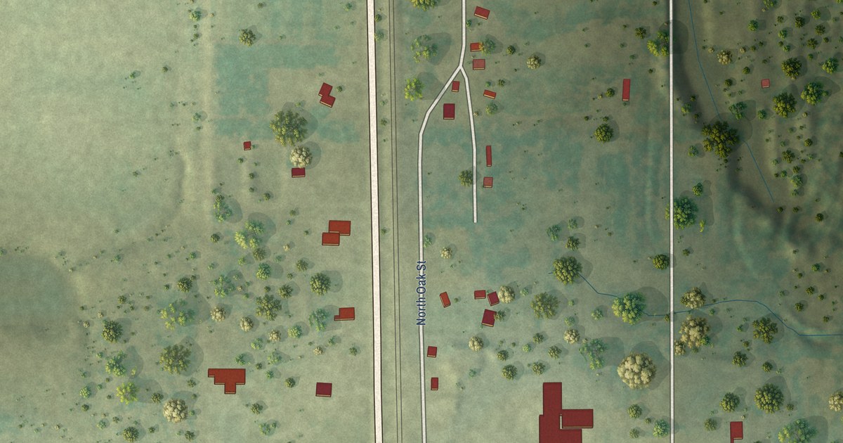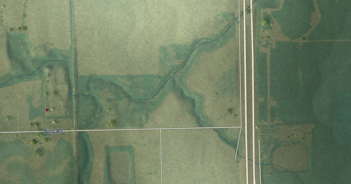
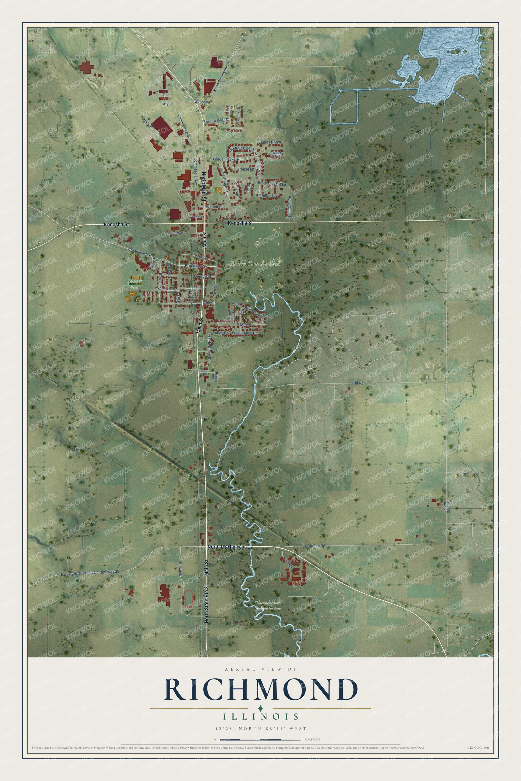
This beautifully detailed map of Richmond, Illinois was created in 2026 using aerial imagery combined with modern topographical, census, street and landmark data. It's a modern aerial view of Richmond in McHenry County, Illinois, that combines modern data with a vintage aesthetic. The roads feature printed names, and if you look closely you can find your exact house accurately shown in its correct location.
Explore an aerial view of Richmond, Illinois
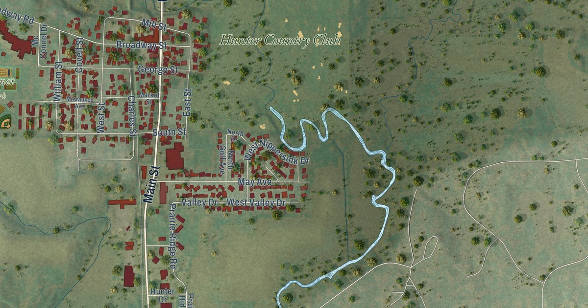
On this map you'll find Bennet Park, Glacial Park Conservation Area, Hunter Country Club, North US Highway 12, Main Street, Kenosha Street, North Main Street, Mourning Dove Circle, Quail Crossing, Mill Street, Co Highway 36, Commercial Street, and more. Each red shape is a building, so zoom in on the preview and look for yours.
Every town has a first chapter, and Richmond is no exception. The McHenry County History puts it this way: "John McConnell, now deceased, was one of the influential men of McHenry County, and for years was connected as vice president with the Bank of Richmond, and the McConnell Cheese Factory, the latter, the first of its kind to be established in McHenry County."
Richmond is a village in McHenry County. The Census Bureau counted 2,089 people here in 2020.
Take a closer look at the Richmond map
Names on this map
These names are printed on this map.
Places: Bennet Park, Glacial Park Conservation Area and Hunter Country Club.
Streets and roads: North US Highway 12, Main Street, Kenosha Street, North Main Street, North State Route 31, Mourning Dove Circle, Quail Crossing, Mill Street, County Highway 36, Commercial Street, East Kuhn Road, Broadway Road.
More street names, A to Z
Ami Drive, Broadway Street, Charles Street, Chukar Court, Commercial Avenue, Covell Street, Cunat Boulevard, Eagles Roost, East Street, East Tryon Grove Road, Front Street, George Street, Golden Hawk Road, Grouse Lane, Hill Road, Holian Drive, Hunt Club Road, Hunter Drive, Liberty Street, Mallard Lane, Market Street, May Avenue, Mayzing Street, Mc Connel Drive, Milwaukee Avenue, North Burlington Road, North Drive, North Golf Avenue, North Solon Road, Partridge Trail, Pheasant Lane, Prairie Ridge, Prairie Ridge Road, South Street, Swallow Ridge Drive, Teal Trail, Thorn Bird Lane, Thrush Creek Drive, Valley Drive, Walnut Street, West Nippersink Drive, West Street, West Valley Drive, William Street, Wilson Road, Wood Duck Lane.
Created by KNOWOL in 2026. The buildings are small red shapes, the roads carry their printed names, and shaded relief shows the shape of the land. The title panel reads "AERIAL VIEW OF RICHMOND ILLINOIS" with 42°28' NORTH 88°19' WEST.
Hang it in the hallway, the office or the cabin, or give it to someone who left Richmond and still calls it home. Open the preview and look for a street you know. See sizes and frames for the Richmond map.