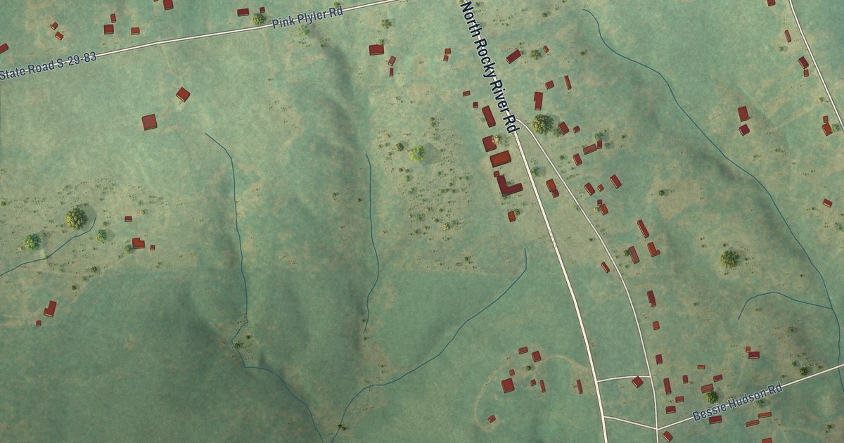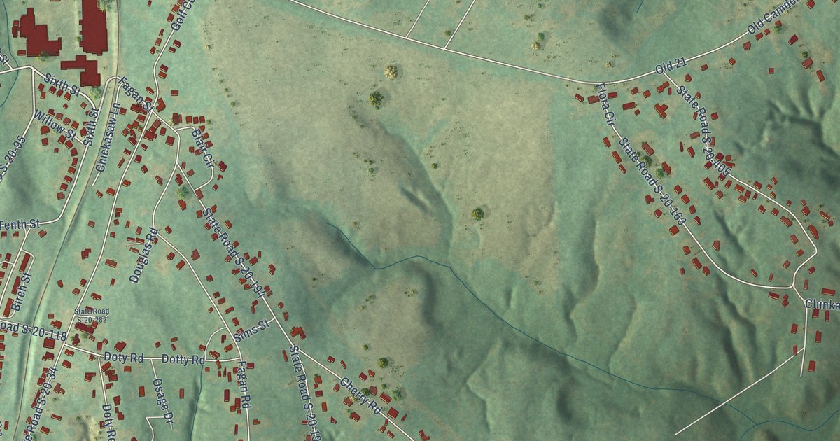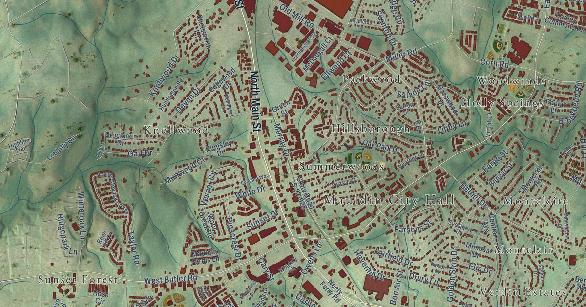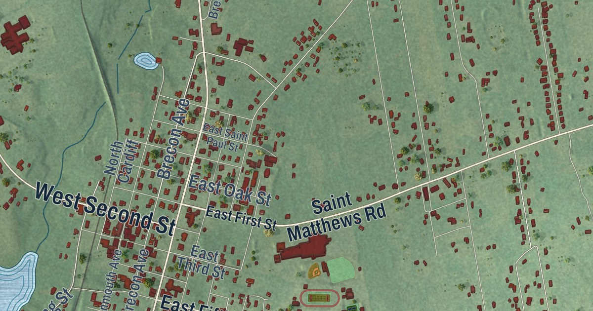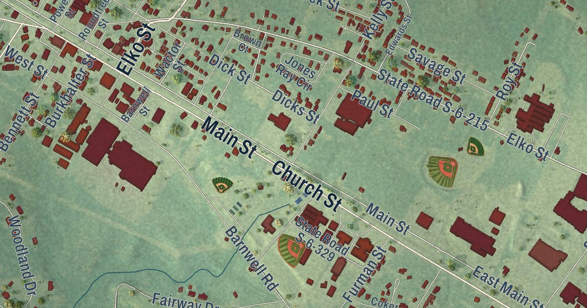
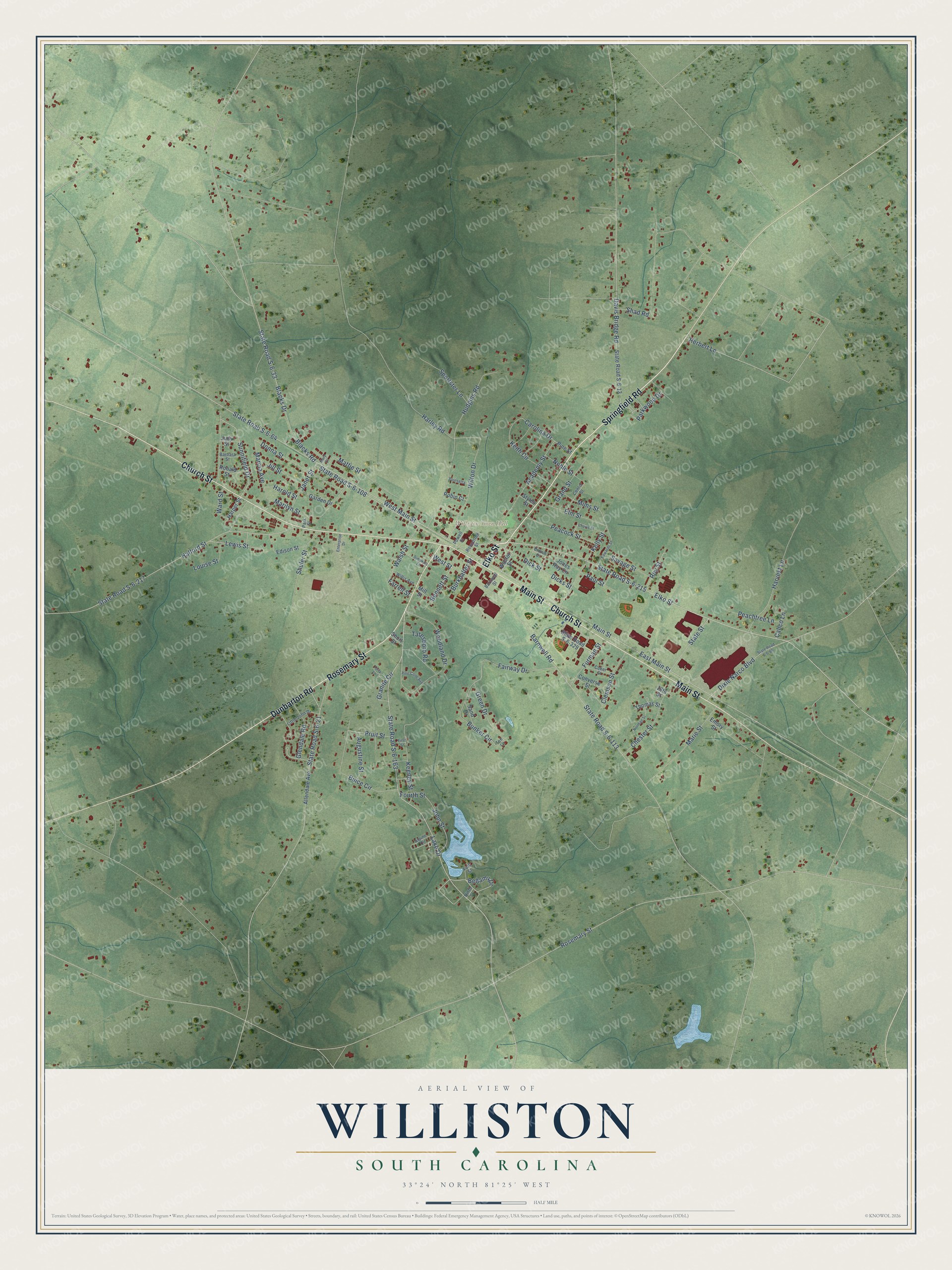
This beautifully detailed map of Williston, South Carolina was created in 2026 using aerial imagery combined with modern topographical, census, street and landmark data. It’s a one-of-a-kind view of Williston that combines accurate data with a vintage aesthetic. The map shows every building in its true location, many of the roads carry their names, and the shaded topographic relief shows the shape of the land.
Explore an aerial view of Williston, South Carolina
On the map you’ll find Williston Town Hall, along with Springfield Road, Elko Street, Church Street, Main Street, Rosemary Street, Dunbarton Road, Bellamy Drive, Harper Street, State Road S-6-163, Sunnifield Drive, West Main Street, and more. If you look closely you can even find your house accurately drawn in its correct location. Zoom in on the preview to look for yours.
Did you know this piece of Williston, South Carolina history?
From Scencyclopedia.org: "In 1921 Austin Lattimore established a newspaper, the Williston Way, which continued publication until 1989, when it merged with the Barnwell People-Sentinel."
Take a closer look at the Williston map
Street and place names on the Williston, South Carolina map
These names are printed on the map of Williston, South Carolina.
Places: Williston Town Hall.
Streets and roads: Springfield Road, Elko Street, Church Street, Main Street, Rosemary Street, Dunbarton Road, Bellamy Drive, Sunnifield Drive, State Road S-6-163, Herbert Lane, Pruit Street, State Road S-6-64.
More street names, A to Z
16th Street, Academy Street, Allendale Avenue, Alpine Circle, Augustine Street, Barbara Street, Barnwell Road, Barnwell Street, Bennett Street, Blacks Drive, Blacks Road, Brown Court, Buice Circle, Bunker Circle, Burkhalter Street, Calico Lane, Carolina Drive, Center Street, Chavis Street, Chester Street, Clemson Street, Coker Street, Converse Street, Davis Bridge Road, Dicks Street, Dick Street, Dixie Narco Boulevard, Donna Street, East Main Street, Edison Street, Edwards Street, Elm Street, Emory Street, Enterprise Drive, Fairway Drive, Farrell Street, First Street, Folk Street, Fourth Street, Furman Street, Garden Drive, Glendale Road, Grand Street, Granite Circle, Green Drive, Halford Street, Harley Road, Harold Street, Harper Street, Harvest Lane, Hudgins Road, Janet Street, Jill Street, John Street, Jones Ray Circle, Judy Street, Keeney Street, Keith Circle, Kelly Street, Lake Drive, Lewis Street, Little John Drive, Louise Street, Marcia Avenue, Marie Street, Marilyn Street, Mary Street, Mattie Street, Mill Street, Mims Street, Ninth Street, Noble Street, Norman Street, Park Street, Parkwood Drive, Paul Street, Peachtree Lane, Peacock Street, Pine Cone Avenue, Pine Street, Poinsetta, Powell Street, Robin Court, Ronald Street, Roundtree Street, Roy Street, Sand Drive, Savage Street, Shad Road, Short Street, Shuler Street, Simpkins Lane, Sportster Lane, State Road S-6-13, State Road S-6-21, State Road S-6-33, State Road S-6-65, State Road S-6-108, State Road S-6-113, State Road S-6-215, State Road S-6-217, State Road S-6-329, State Street, Styles Street, Tatesboro Road, Tee Lane, Terry Lane, Thomas Street, Wactor Street, Walsh Street, Ward Street, West Main Street, West Street, Willis Avenue, Wilton Drive, Woodland Drive.
See the Williston, South Carolina map on a wall
The Williston map as an 18 x 24 inch print in a black frame.

This beautifully detailed map of Williston makes an attractive addition to your office, library, or den, and it can even be used to teach children the geography and history of the area. It also makes a great gift for anyone who grew up in Williston or moved away. When you’re done exploring, click here to get your copy of the Williston map.