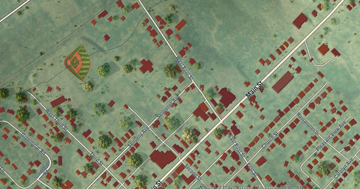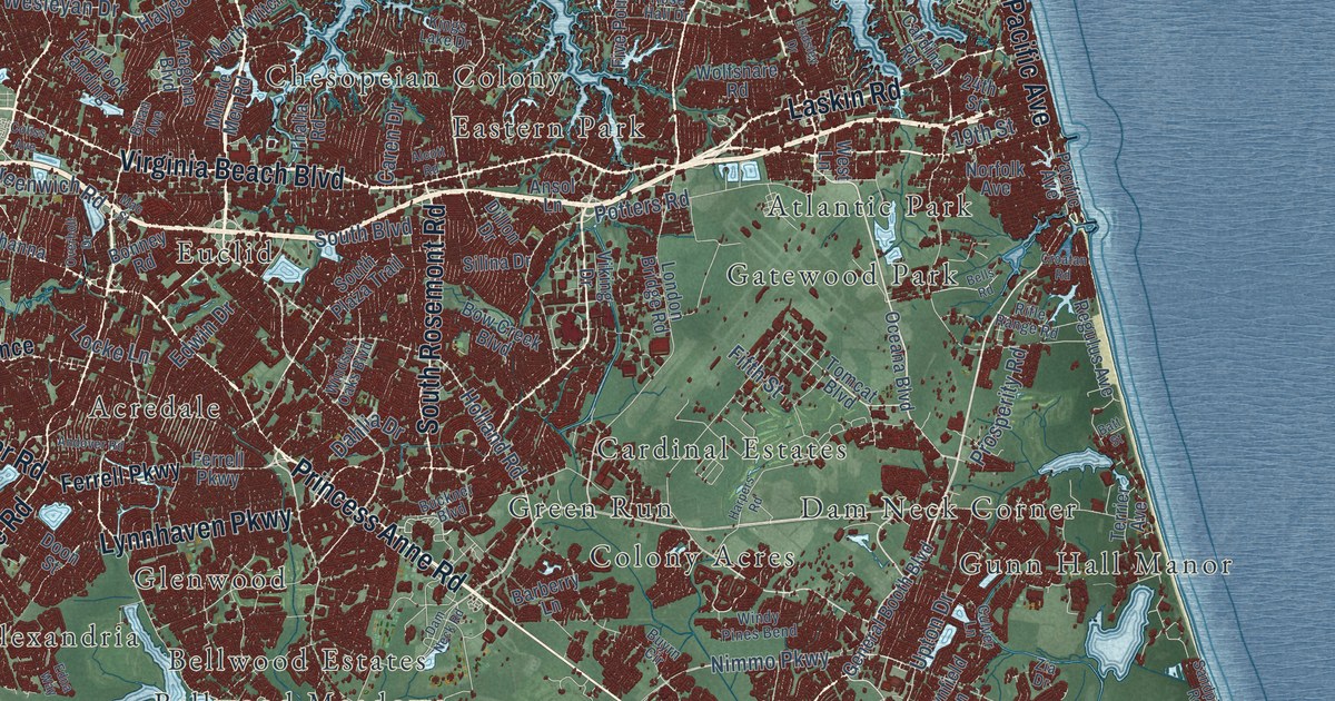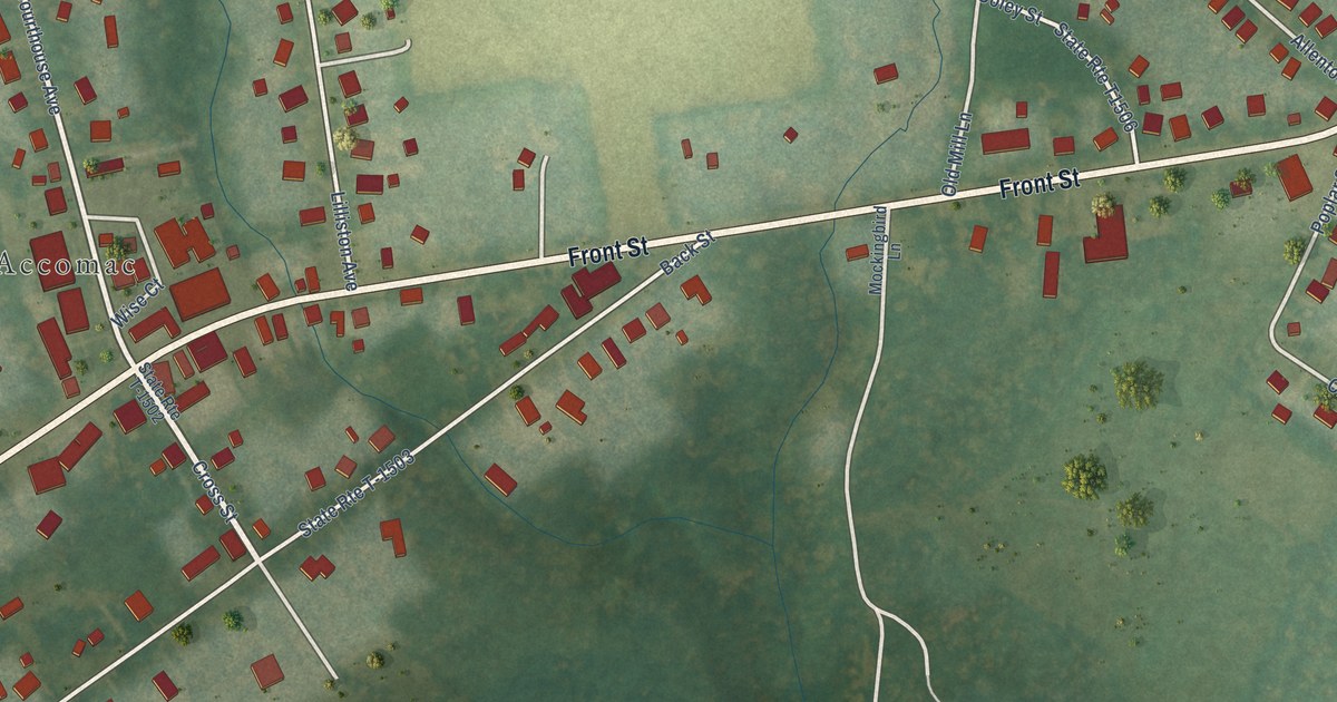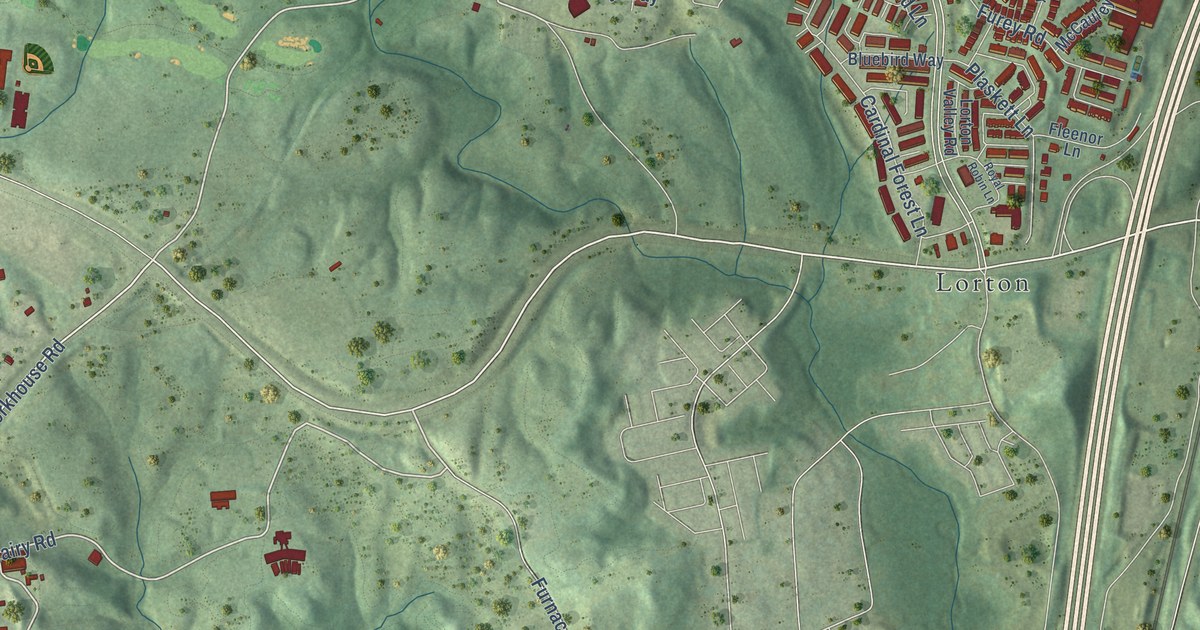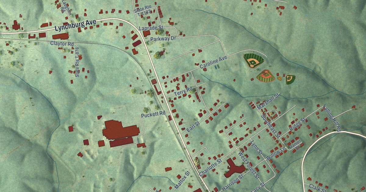
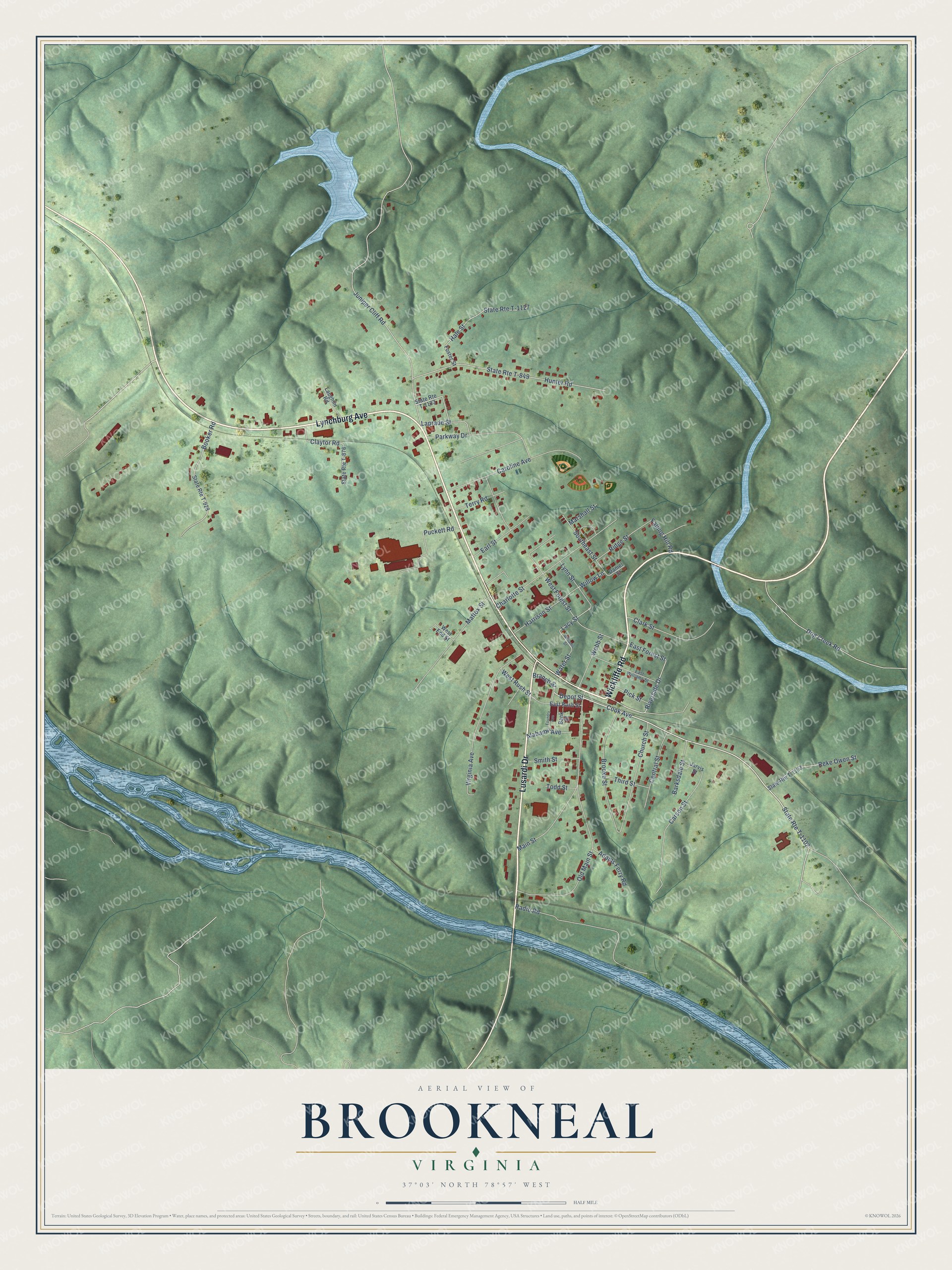
This beautifully detailed map of Brookneal, Virginia was created in 2026 using aerial imagery combined with modern topographical, census, street and landmark data. It's a modern aerial view of Brookneal in Campbell County, Virginia, that combines modern data with a vintage aesthetic. The roads feature printed names, and if you look closely you can find your exact house accurately shown in its correct location.
Explore an aerial view of Brookneal, Virginia
On this map you'll find Lynchburg Avenue, Wickliffe Road, Lusardi Drive, Cook Avenue, State Rte T-1102, Depot Street, Riverside Drive, Lacy Street, Willow Lane, Juniper Cliff Road, Hunter Road, State Rte T-849, and more. Each red shape is a building, so zoom in on the preview and look for yours.
Brookneal has a story worth telling. The record at vcris.dhr.virginia.gov puts it this way: "Although the main house was destroyed by fire in 1919 and later reconstructed above the original foundation, the law office, Henry's last, survives and has been restored."
Brookneal is a town in Campbell County. The Census Bureau counted 1,090 people here in 2020.
Take a closer look at the Brookneal map
Names on this map
These names are printed on this map.
Streets and roads: Lynchburg Avenue, Wickliffe Road, Lusardi Drive, Cook Avenue, State Route T-1102, Depot Street, Riverside Drive, Lacy Street, Willow Lane, Juniper Cliff Road, Hunter Road, State Route T-849.
More street names, A to Z
Adams Ferry Road, Alabama Avenue, Bank Street, Barksdale Street, Booker Road, Branch Street, Brooke Street, Caroline Avenue, Carson Street, Central Street, Charlotte Street, Church Street, Clark Street, Claytor Road, Daniel Street, Dog Creek Road, Earl Street, East Forest Street, East Rush Street, East Williams Street, Falling Hill Road, Foster Street, Foundry Avenue, Hale Street, Harrison Street, Jarvis Street, Laprade Street, Laughlin Road, Lynn Street, Main Street, Marshall Street, Mattox Street, Old Main Street, Parkway Drive, Pick Street, Puckett Road, Radio Road, Reke Owen Street, Ridge Street, Smith Street, Southeast Street, State Route T-876, State Route T-928, State Route T-1123, State Route T-1127, State Route T-1133, Terry Road, Third Street, Todd Street, Virginia Avenue, Water Street, Webb Street, West End Street, West Forest Street, West Rush Street, Williams Street.
Created by KNOWOL in 2026. The buildings are small red shapes, the roads carry their printed names, and shaded relief shows the shape of the land. The title panel reads "AERIAL VIEW OF BROOKNEAL VIRGINIA".
It looks right in a kitchen, an office or a den, and it's a gift for anyone who grew up in Brookneal or moved away. Open the preview and find your street. See sizes and frames for the Brookneal map.