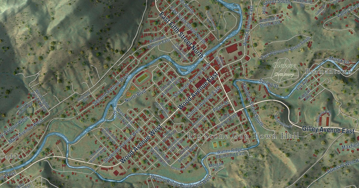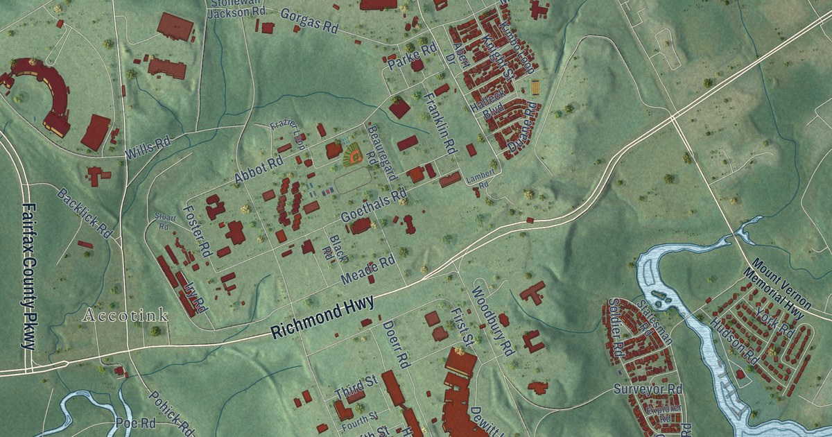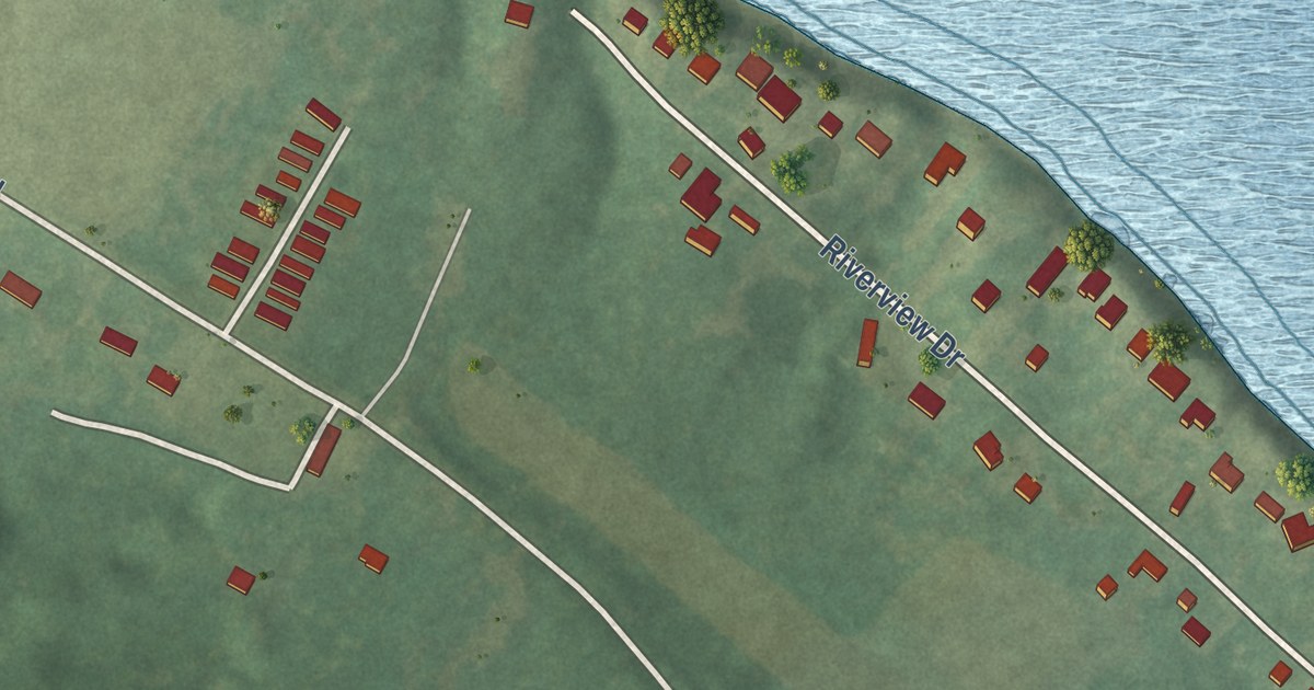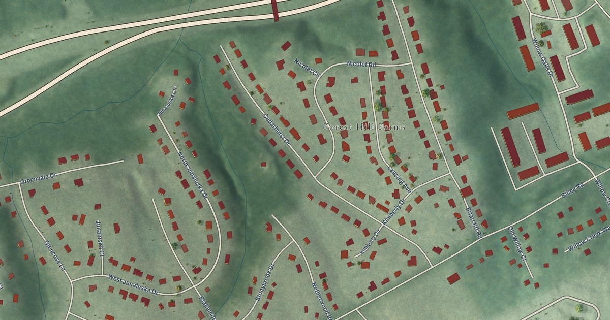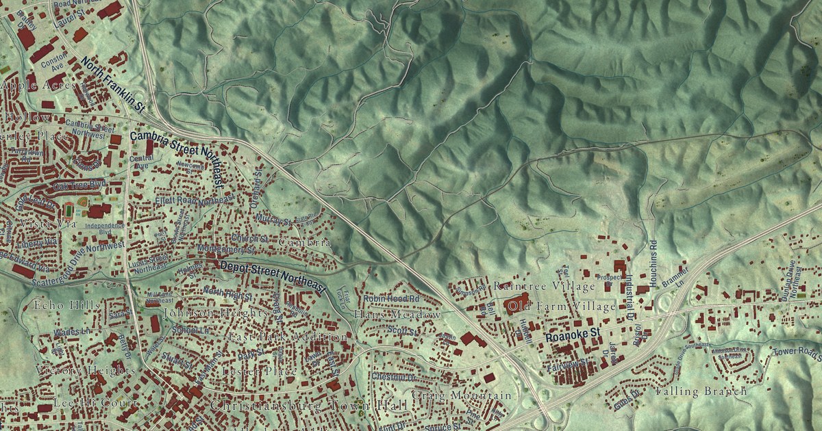
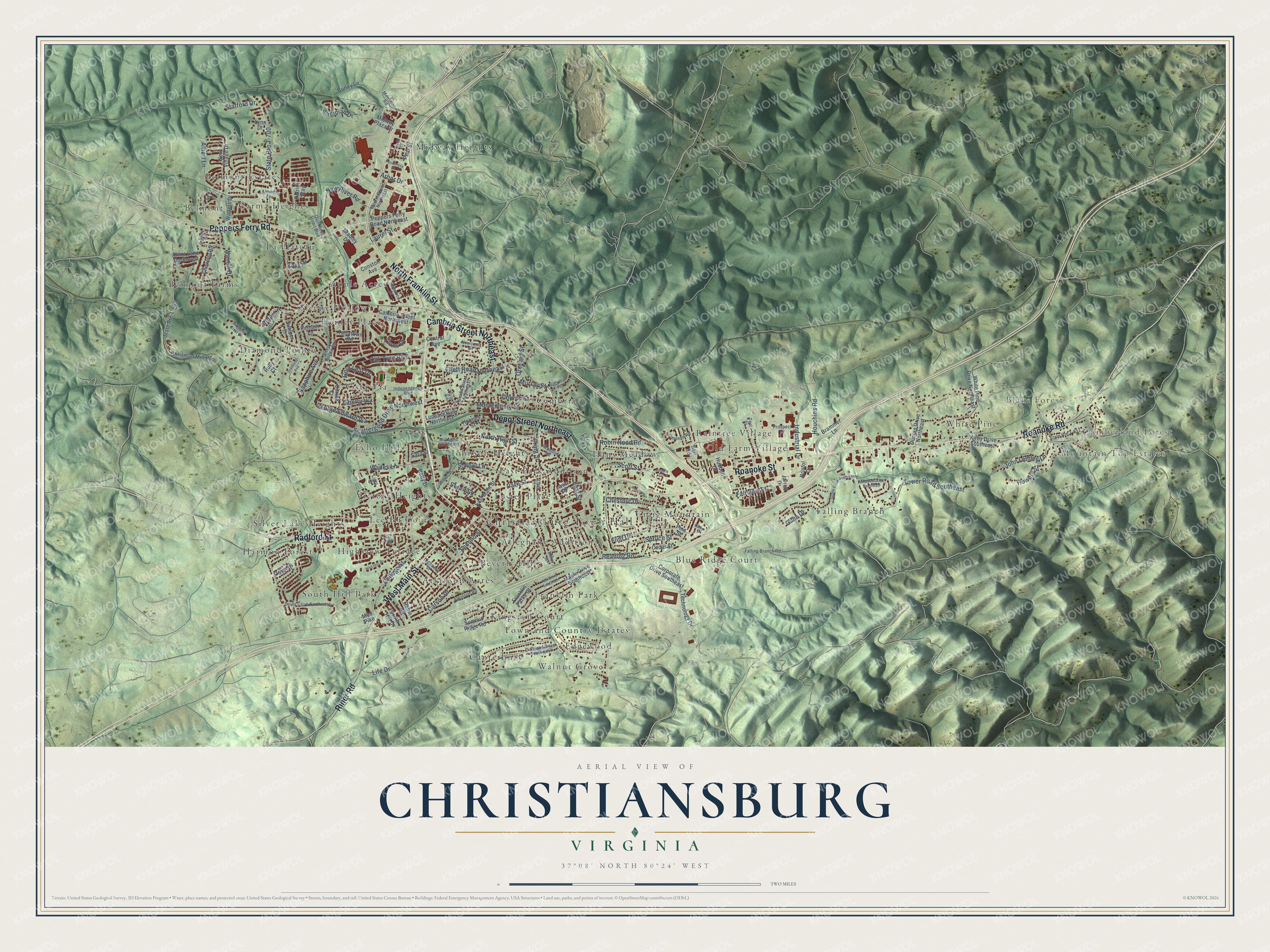
This beautifully detailed map of Christiansburg, Virginia was created in 2026 using aerial imagery combined with modern topographical, census, street and landmark data. It’s a one-of-a-kind view of Christiansburg that combines accurate data with a vintage aesthetic. The map shows every building in its true location, many of the roads carry their names, and the shaded topographic relief shows the shape of the land.
Explore an aerial view of Christiansburg, Virginia
On the map you’ll find Christiansburg Town Hall, Cumberland Forest, Mountain Top Estates, Blake Forest, Alleghany Addition, Apple Acres, Atkinson Acres, Belmont, Belmont Estates, Belmont Farms, and Beverly Hills, along with Blue Ridge Court, and more. If you look closely you can even find your house accurately drawn in its correct location. Zoom in on the preview to look for yours.
Did you know this piece of Christiansburg, Virginia history?
From Vcris.dhr.virginia.gov: "Schaeffer, a Freedmen's Bureau agent, organized a school for blacks on the hill just to the southeast."
Take a closer look at the Christiansburg map
Street and place names on the Christiansburg, Virginia map
These names are printed on the map of Christiansburg, Virginia.
Places: Christiansburg Town Hall, Cumberland Forest, Mountain Top Estates, Blake Forest, Alleghany Addition, Apple Acres, Atkinson Acres, Belmont, Belmont Estates, Belmont Farms, Beverly Hills, Blue Ridge Court, Cambria, Canterbury, Carma Heights, Craig Mountain, Diamond Pointe, East Park Addition, Echo Hills, Edgewood, Falling Branch, Franklin Park, Hans Meadow, Harmon Forest, Henley Place, Highview Terrace, Johnson Heights, Kingston Court, La Plateau, Lee-Hi Court, Lester Place, Midway Heights, Old Farm Village, Raintree Village, Silver Lake Heights, Sleepy Hollow, South Hill Park, Town and Country Estates, Victory Heights, Vista Via, Walnut Grove and White Pine.
Streets and roads: North Franklin Street, West Main Street, Cambria Street Northeast, Roanoke Street, Peppers Ferry Road, Radford Street, Depot Street Northeast, Roanoke Road, Riner Road, Tower Road Southeast, Stafford Drive, State Route T-700.
More street names, A to Z
Albert Lane, Alder Lane, Alexa Lane Northwest, Almetta Avenue, Arbor Drive, Ash Drive Southeast, Atkinson Road, Bell Road, Betty Drive, Bradley Drive, Brammer Lane, Bristol Drive, Brown Street Northeast, Burley Lane, Cambria Street Northwest, Carson Drive, Cedar Street, Central Avenue, Chestnut Drive, Cheverly Road, Chrisman Mill Road, Church Street, Citrine Court, College Street, Conston Avenue, Corporate Drive Southeast, Craig Street, Diamond Avenue, Diamond Crest Court, Diana Drive Northwest, Dow Street, Dudley Drive, Dunlap Drive Northeast, East Main Street, East Street, Ellett Road Northeast, Fairview Street, Falling Branch Road, Flint Drive, Franklin Parke Court, Friar Tuck Lane, George Edward Via, Giles Drive, Glade Drive Southeast, Gold Leaf Drive, Hagan Street, Highview Street, Hillcrest Drive, Holmes Street, Houchins Road, Howery Street, Hubbell Drive, Independence Boulevard, Industrial Drive, Jarrett Drive, John Lemley Lane, Juniper Drive, Justin Lane, Kays Drive, Kirby Drive Southeast, Kitty Lane, Laurel Street, Lawn Drive, Liberty Via, Life Drive, Light Street, Lions Drive, Lucas Street Northeast, Lynn Drive, Madison Drive Southeast, Maple Drive Southeast, Market Street Northeast, Merrimac Road, Midway Plaza Drive, Miller Street, Mill Lane Northeast, Montgomery Street, Mud Pike, Murray Street, Newcomb Street, New River Road, New Village Drive, North High Street, Oak Tree Boulevard, Orchard Street, Overland Drive Southwest, Park Street, Patriot Way, Peach Street, Pear Street, Pelham Lane, Peppers Ferry Road Northeast, Perry Street, Pine Street, Ponderosa Drive, Prospect Drive, Quin West Stuart Boulevard, Reading Road, Redwood Drive, Republic Road, Robin Hood Road, Robin Road, Ruby Court, Sapphire Avenue, Sara Street, Scattergood Drive Northwest, School Lane, Scott Street, Second Street, Simpson Road, Sleepy Hollow Road, South Hill Drive, Spruce Street, State Route T-651, State Route T-661, State Route T-801, Stuart Street, Summit Ridge Road, Talus Lane, Tarrytown Road, Technology Drive, Teel Street, Tula Circle, Virginian Drive, Wades Lane, Walnut Drive, Walters Drive, Water Street, White Pine Drive Northeast.
See the Christiansburg, Virginia map on a wall
The Christiansburg map as an 18 x 24 inch print in a black frame.

This beautifully detailed map of Christiansburg makes an attractive addition to your office, library, or den, and it can even be used to teach children the geography and history of the area. It also makes a great gift for someone who left Christiansburg and still calls it home. When you’re done exploring, click here to get your copy of the Christiansburg map.