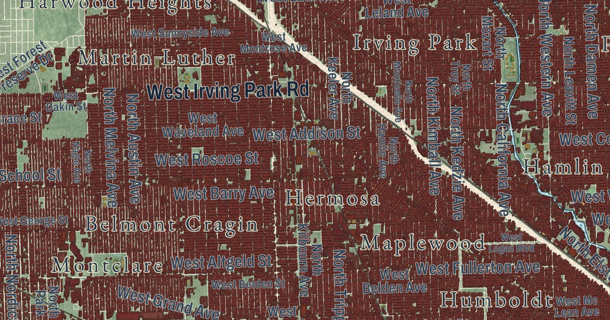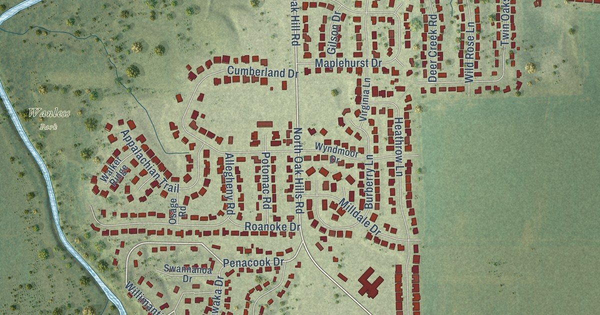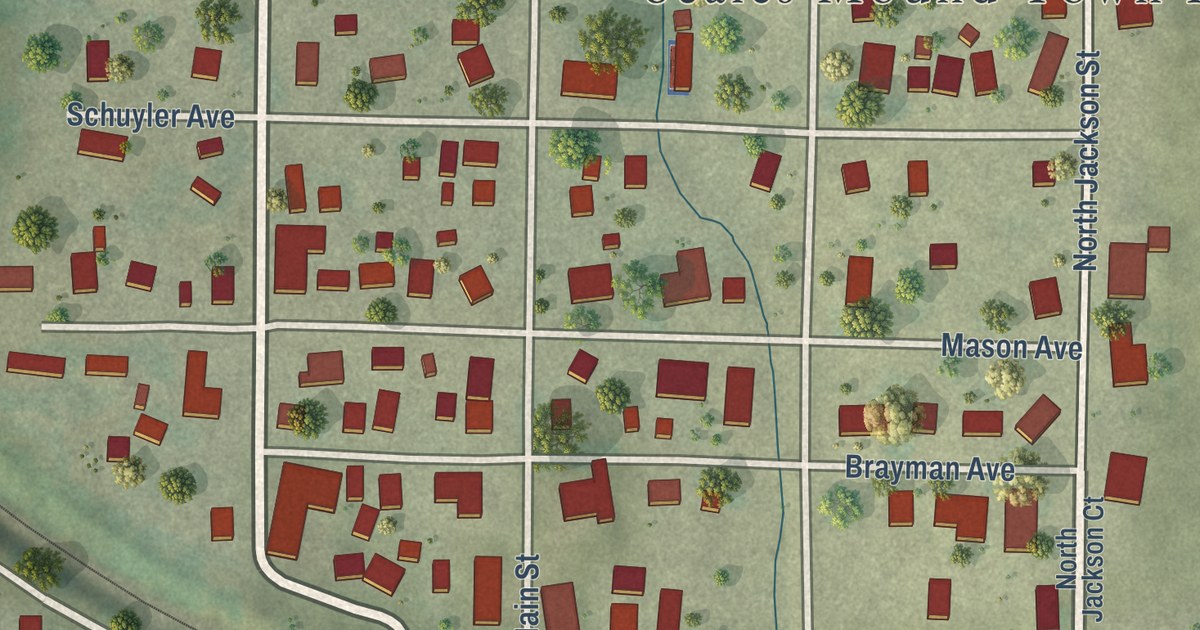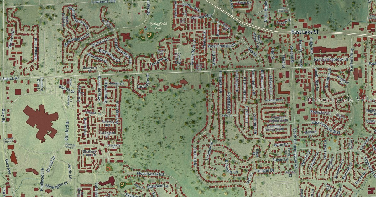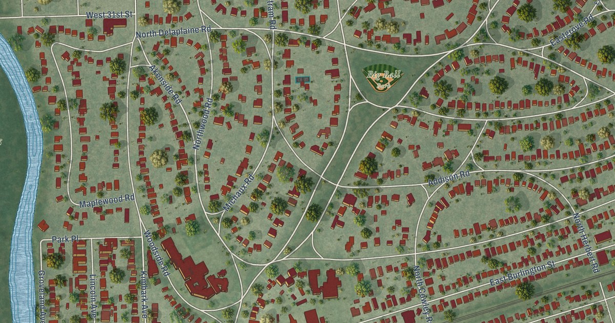
This beautifully detailed map of Riverside, Illinois was created in 2026 using aerial imagery combined with modern topographical, census, street and landmark data. It’s a one-of-a-kind view of Riverside that combines accurate data with a vintage aesthetic. The map shows every building in its true location, many of the roads carry their names, and the shaded topographic relief shows the shape of the land.
Explore an aerial view of Riverside, Illinois
On the map you’ll find Riverside Village Hall, Zoo Woods, Robinson Park, Big Ball Park, Blythe Park, and North Riverside, along with South Harlem Avenue, Harlem Avenue, South First Avenue, Ogden Avenue, Golf Road, Parkview Road, and more. If you look closely you can even find your house accurately drawn in its correct location. Zoom in on the preview to look for yours.
Did you know this piece of Riverside, Illinois history?
From the National Park Service: "The General Plan of Riverside, completed in 1869, used several large parks as a foundation and 41 smaller, triangular parks located at intersections to create more green space."
Take a closer look at the Riverside map
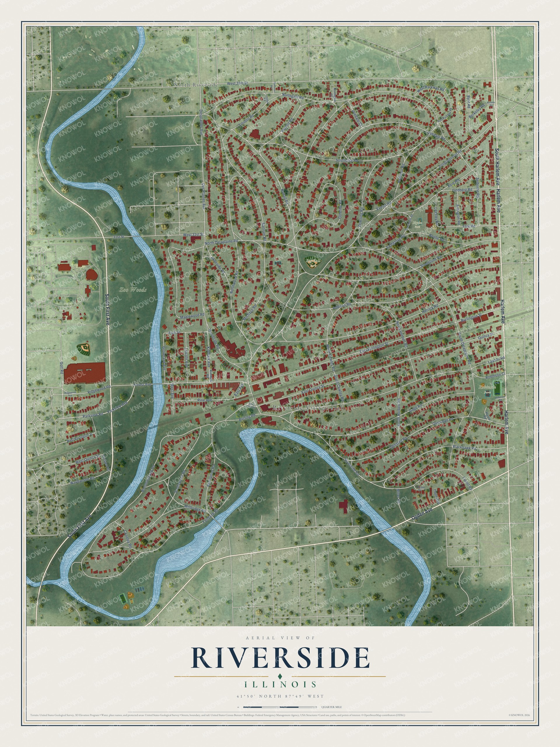
Street and place names on the Riverside, Illinois map
These names are printed on the map of Riverside, Illinois.
Places: Riverside Village Hall, Zoo Woods, Robinson Park, Big Ball Park, Blythe Park and North Riverside.
Streets and roads: South Harlem Avenue, Harlem Avenue, South First Avenue, Ogden Avenue, Golf Road, Parkview Road, Parkview Avenue, Longcommon Road, Nuttall Road, Akenside Road, Riverside Road, Repton Road.
More street names, A to Z
31st Street, Addison Road, Arlington Road, Audubon Road, Barrypoint Road, Barry Point Road, Bartram Road, Berkeley Road, Berkley Road, Blackhawk Road, Bloomingbank Road, Blythe Road, Burling Road, Burlington Street, Byrd Road, Coonley Road, Des Plaines Avenue, Desplaines Avenue, Downing Road, East Avenue, East Burlington Street, Eastgrove Road, East Grove Road, East Parkway Road, East Quincy Street, Evelyn Road, Fairbank Road, Forbes Road, Forest Avenue, Gage Road, Gatesby Road, Groveland Avenue, Haas Avenue, Harris Road, Herrick Road, Kent Road, Kimbark Avenue, Kimbark Road, Lafayette Road, Lawton Road, Leesley Road, Lincoln Avenue, Lindberg Road, Lionel Road, Louden Road, Loudon Road, Maplewood Road, Michaux Road, Millbridge Road, Miller Road, North Cowley Road, North Delaplaine Road, Northgate Court, Northgate Road, North Herbert Road, Northwood Road, Olmstead Road, Olmsted Road, Park Place, Pine Avenue, Quincy Street, Ridgewood Avenue, Ridgewood Road, Robinson Court, Robinson Road, Scottswood Road, Selborne Road, Shenstone Road, Southcote Road, South Cowley Road, South Delaplaine Road, South Herbert Road, Uvedale Court, Uvedale Road, Waubansee Road, West 26th Street, West 31st Street, West Avenue, West Burlington Street, Westover Avenue, West Parkway Road, West Quincy Street, Woodside Road, York Road.
See the Riverside, Illinois map on a wall
The Riverside map as an 18 x 24 inch print in a black frame.

This beautifully detailed map of Riverside makes an attractive addition to your office, library, or den, and it can even be used to teach children the geography and history of the area. It also makes a great gift for anyone who grew up in Riverside or moved away. When you’re done exploring, click here to get your copy of the Riverside map.