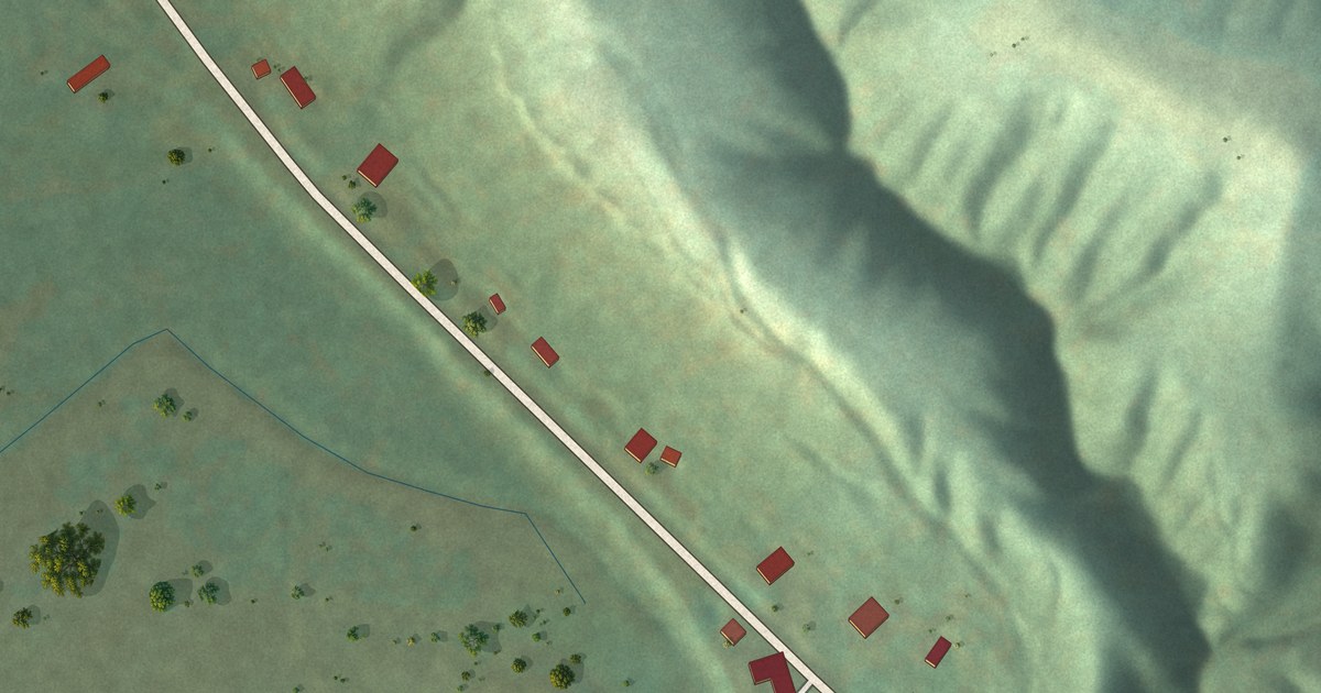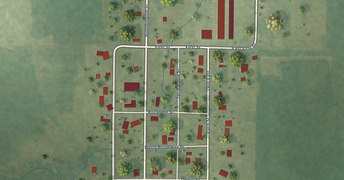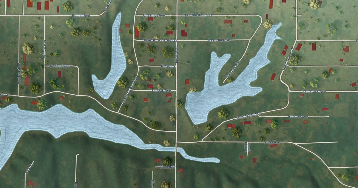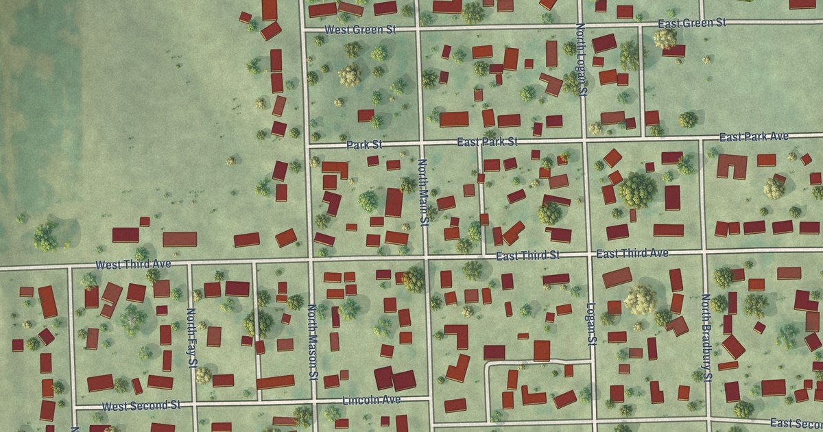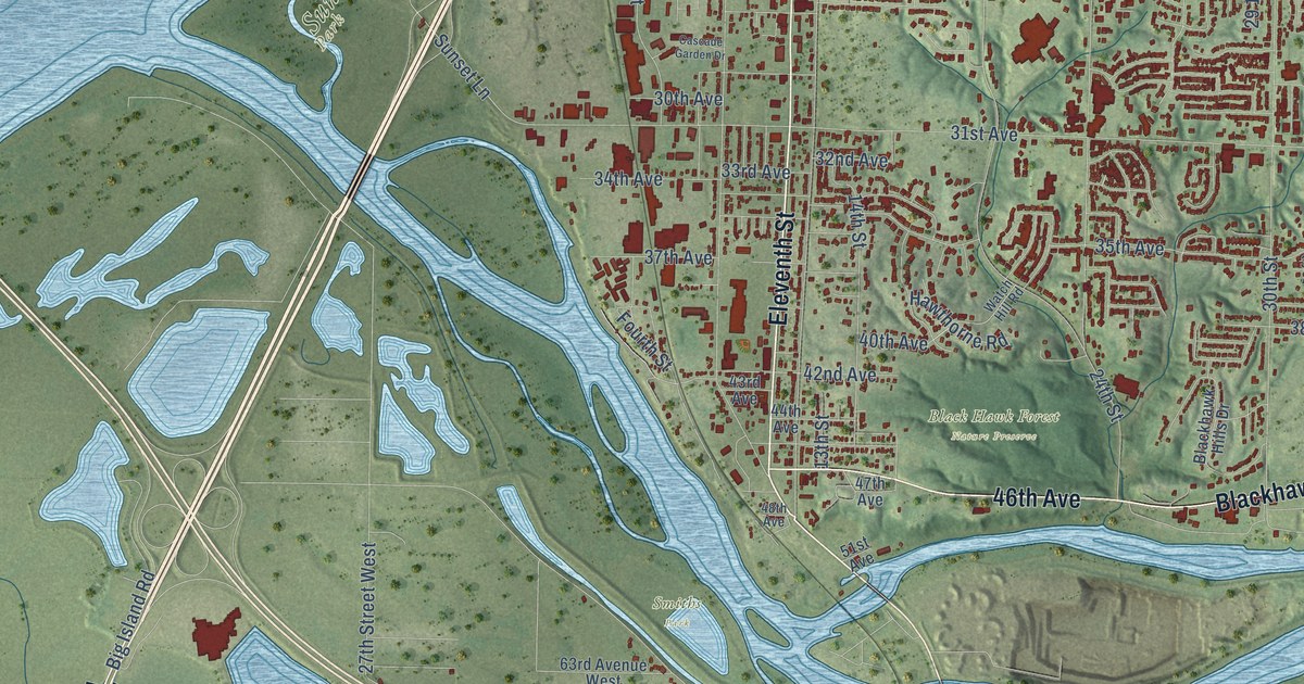
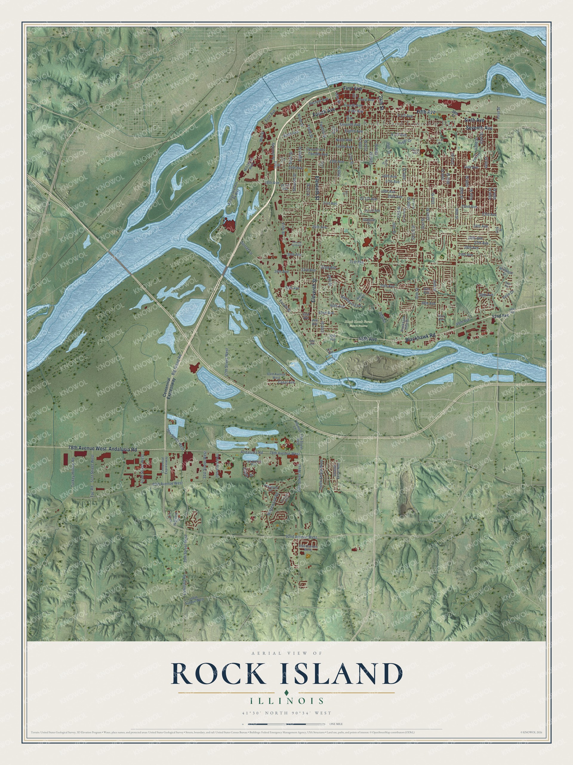
This beautifully detailed map of Rock Island, Illinois was created in 2026 using aerial imagery combined with modern topographical, census, street and landmark data. It’s a one-of-a-kind view of Rock Island that combines accurate data with a vintage aesthetic. The map shows every building in its true location, many of the roads carry their names, and the shaded topographic relief shows the shape of the land.
Explore an aerial view of Rock Island, Illinois
On the map you’ll find Rock Island Township Hall, Black Hawk Forest Nature Preserve, Lincoln Park, Smiths Park, and Sunset Park, along with First Avenue, Fourth Avenue, 24th Street, Fifth Avenue, 46th Avenue, Blackhawk Road, Sixth Avenue, and more. If you look closely you can even find your house accurately drawn in its correct location. Zoom in on the preview to look for yours.
Did you know this piece of Rock Island, Illinois history?
From the National Park Service: "At the time of completion, the Best Building was one of several buildings that transcended the low commercial blocks in the adjacent cities of Rock Island and Moline in Illinois and Davenport in Iowa."
Take a closer look at the Rock Island map
Street and place names on the Rock Island, Illinois map
These names are printed on the map of Rock Island, Illinois.
Places: Rock Island Township Hall, Black Hawk Forest Nature Preserve, Lincoln Park, Smiths Park and Sunset Park.
Streets and roads: First Avenue, Fourth Avenue, 24th Street, Fifth Avenue, 46th Avenue, Blackhawk Road, Sixth Avenue, Eleventh Street, Andalusia Road, Seventh Avenue, 78th Avenue West, 92nd Avenue West.
More street names, A to Z
13th Avenue, 13th Avenue Court, 13th Street, 13th Street West, 14th Avenue, 14th Street, 14th Street West, 15th Avenue, 15th Street, 16th Avenue, 16th Street, 17th Avenue, 17th Street, 17th Street West, 18th Avenue, 18th Street, 19th Avenue, 19th Street, 20th Avenue, 20th Street, 21st Avenue, 21st Street, 22nd Avenue, 22nd Street, 23rd Avenue, 23rd Street, 24th Avenue, 25th Avenue, 25th Street, 26th Avenue, 26th Street, 27th Avenue, 27th Street, 27th Street West, 28th Avenue, 28th Street, 29th Avenue, 29th Street, 29th Street West, 30th Avenue, 30th Street, 31st Avenue, 31st Street, 31st Street West, 32nd Avenue, 32nd Street, 33rd Avenue, 33rd Street, 34th Avenue, 34th Street, 35th Avenue, 35th Street, 35th Street West, 36th Avenue, 36th Street, 37th Avenue, 37th Street, 38th Avenue, 38th Street, 38th Street West, 39th Avenue, 39th Street, 40th Avenue, 40th Street, 41st Avenue, 41st Street, 42nd Avenue, 42nd Street, 42nd Street West, 43rd Avenue, 43rd Street, 44th Avenue, 44th Street, 45th Avenue, 45th Street, 46th Street, 47th Avenue, 47th Street, 48th Avenue, 51st Avenue, 51st Street West, 52nd Avenue, 63rd Avenue West, 79th Avenue West, 85th Avenue West, 95th Avenue West, 106th Avenue West, Big Island Road, Blackhawk Hills Drive, Canal Avenue, Cascade Garden Drive, Centennial Expressway, Chaneys Lane, Circle Drive, Deer Run, Eighth Avenue, Eighth Street, Eleventh Avenue, Fifth Street, First Street, Fourth Street, Foxwood Drive, George Skafidas Pk Way, Hawthorne Road, Highland Court, Highland Drive, Hillcrest Court, Huber Court, Liekefett Road, Mill Street, Mill Street West, Ninth Avenue, Ninth Street, Ridgewood Road, Second Avenue, Second Street, Seventh Street, Seventh Street West, Sixth Street, Stadium Drive, Sunset Lane, Tenth Avenue, Tenth Street, Tenth Street West, Third Avenue, Third Street, Tpc Road, Turkey Hollow Road, Twelfth Avenue, Twelfth Street, Velie Drive, Watch Hill Road, Wildwood Drive.
See the Rock Island, Illinois map on a wall
The Rock Island map as an 18 x 24 inch print in a black frame.

This beautifully detailed map of Rock Island makes an attractive addition to your office, library, or den, and it can even be used to teach children the geography and history of the area. It also makes a great gift for someone who left Rock Island and still calls it home. When you’re done exploring, click here to get your copy of the Rock Island map.