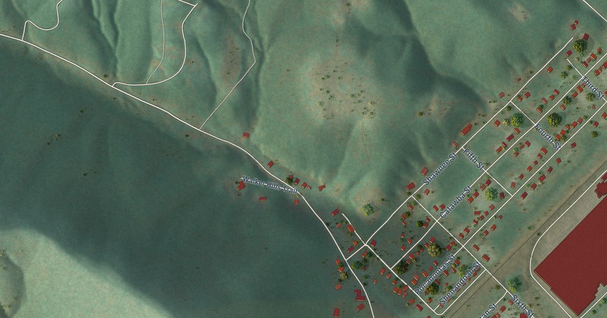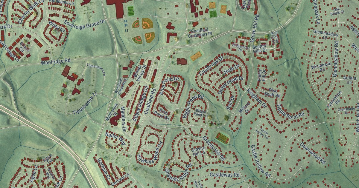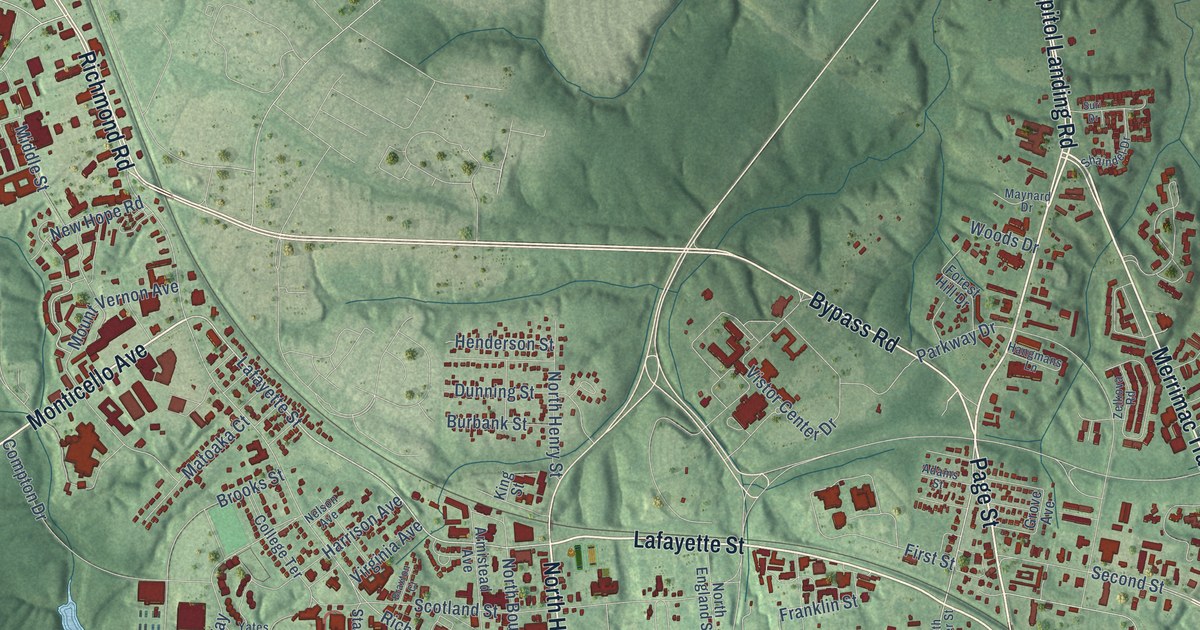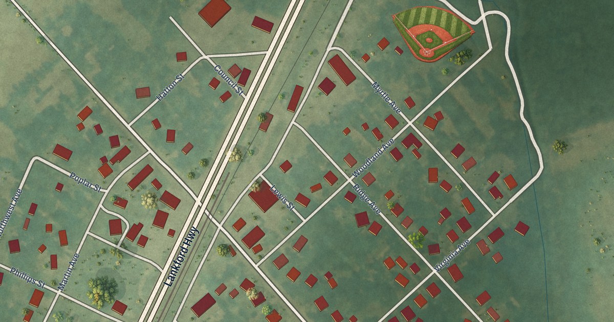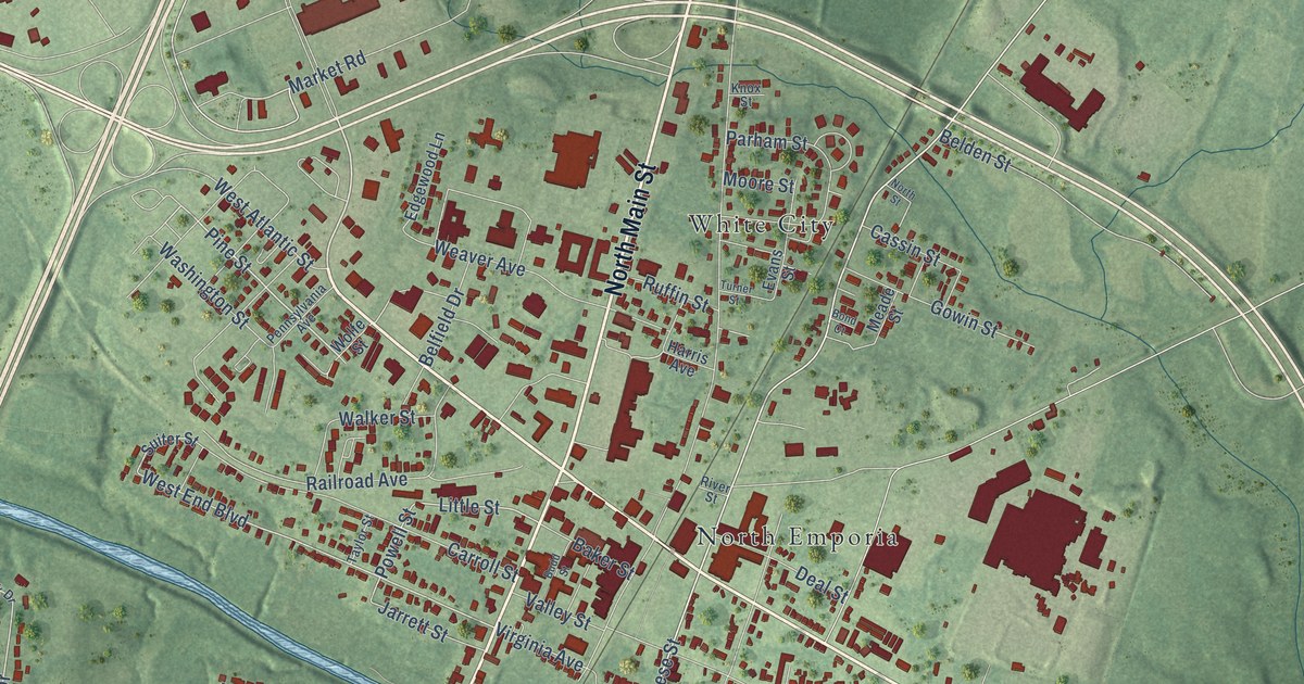
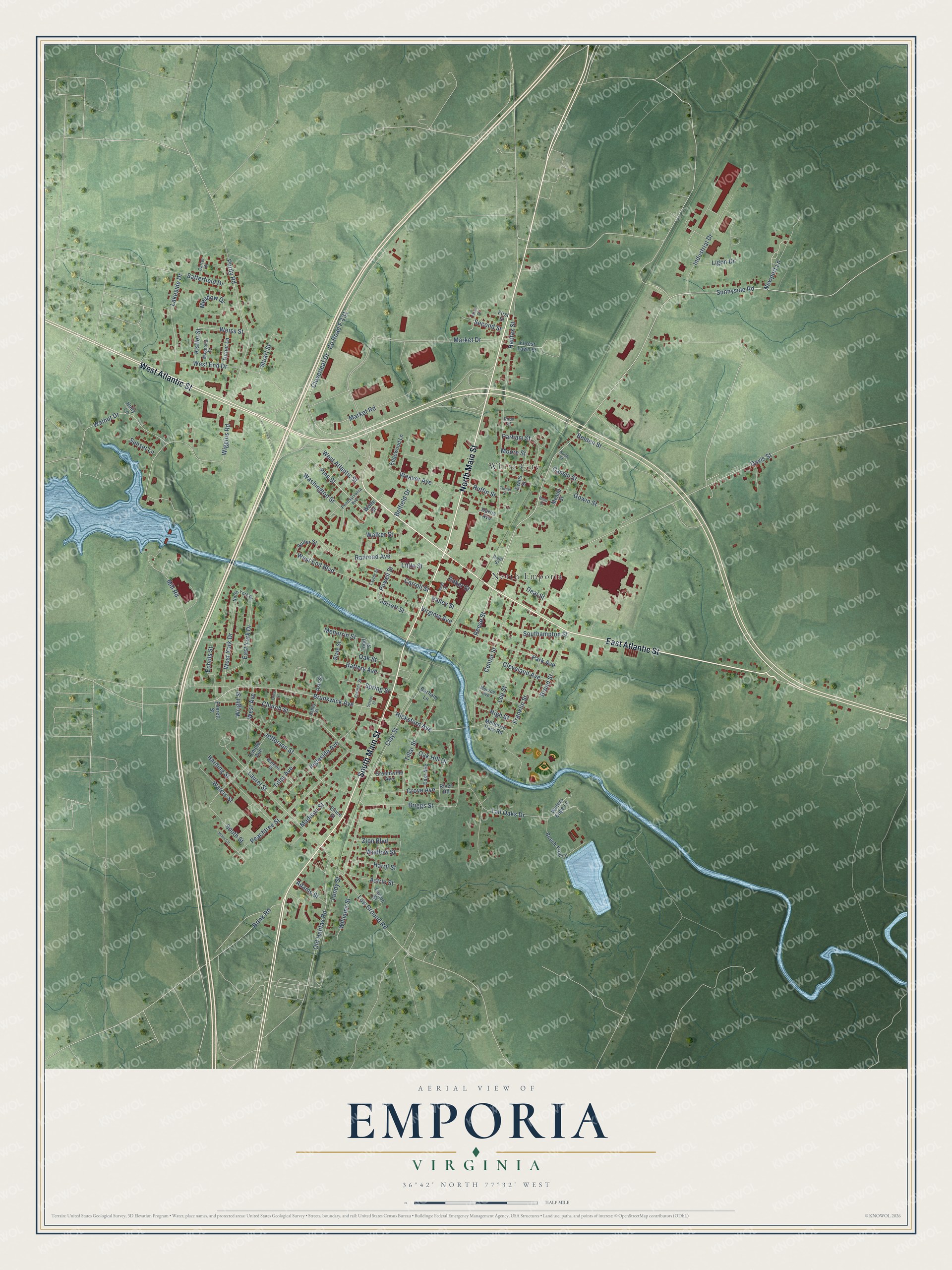
This beautifully detailed map of Emporia, Virginia was created in 2026 using aerial imagery combined with modern topographical, census, street and landmark data. It's a modern aerial view of Emporia in Emporia city, Virginia, that combines modern data with a vintage aesthetic. The roads feature printed names, and if you look closely you can find your exact house accurately shown in its correct location.
Explore an aerial view of Emporia, Virginia
On this map you'll find North Emporia, White City, North Main Street, South Main Street, West Atlantic Street, East Atlantic Street, Market Drive, Church Street, Sunnyside Road, Brunswick Avenue, Pine Street, Reese Street, and more. Each red shape is a building, so zoom in on the preview and look for yours.
Emporia has a story worth telling. The record at vcris.dhr.virginia.gov puts it this way: "Ordained a Presbyterian minister, he was called here to the First Presbyterian Church of Emporia in 1911."
Emporia is a city in Emporia city. The Census Bureau counted 5,766 people here in 2020.
Take a closer look at the Emporia map
Names on this map
These names are printed on this map.
Places: North Emporia and White City.
Streets and roads: North Main Street, South Main Street, West Atlantic Street, East Atlantic Street, Market Drive, Church Street, Sunnyside Road, Brunswick Avenue, Pine Street, Reese Street, Hicksford Avenue, Little Street.
More street names, A to Z
Adams Street, Ashby Street, Ash Street, Astrio Street, Baker Street, Barham Lane, Battery Avenue, Beech Tree Lane, Belden Street, Belfield Drive, Bond Court, Briggs Street, Brink Road, Broad Street, Budd Street, Carroll Street, Carter Drive, Cassin Street, Center Street, Clay Street, Cleveland Avenue, Cloverleaf Drive, County Road F-131, Davis Street, Deal Street, East Avenue, East York Drive, Echols Street, Edgewood Lane, Ellice Street, Evans Street, Everett Street, Faison Street, Farmer Street, First Street, Forest Lawn Street, Franklin Street, Gowin Street, Greensville Avenue, Grove Avenue, Halifax Street, Harding Street, Harris Avenue, Harrji Street, High Street, Holly Lane, Industrial Drive, Ingleside Avenue, Jarrett Street, Jefferson Street, Kistler Street, Knox Street, Lakeside Drive, Laurel Street, Lee Street, Ligon Drive, Low Ground Road, Lundy Street, Madison Street, Magnolia Drive, Market Road, Meade Street, Meadow Drive, Meherrin Park Road, Meherrin Street, Miles Circle, Mill Road, Monroe Avenue, Moore Street, Newport Lane, North Street, North York Drive, Oak Hill Drive, Oak Street, Old Halifax Road, Olive Street, Parham Street, Park Avenue, Peachtree Street, Pennsylvania Avenue, Powell Street, Purdy Road, Railroad Avenue, River Road, River Street, Ruffin Street, Satterfield Drive, School Street, Second Street, Southampton Street, South Street, Spring Street, State Street, Stuart Street, Suiter Street, Sunset Lane, Tall Oaks Drive, Taylor Street, Temple Avenue, Third Street, Tillar Avenue, Tillar Street, Todd Street, Turner Lane, Turner Street, Valley Street, Virginia Avenue, Wadlow Street, Walker Street, Walnut Drive, Washington Street, Waters Edge Lane, Waters Street, Watkins Street, Weaver Avenue, Weiss Street, West Avenue, West End Boulevard, West End Drive, West York Drive, Wiggins Road, Williams Street, Wolfe Street, Wright Street, Zion Boulevard.
Created by KNOWOL in 2026. The buildings are small red shapes, the roads carry their printed names, and shaded relief shows the shape of the land. The title panel reads "AERIAL VIEW OF EMPORIA VIRGINIA".
It looks right in a kitchen, an office or a den, and it's a gift for anyone who grew up in Emporia or moved away. Open the preview and find your street. See sizes and frames for the Emporia map.