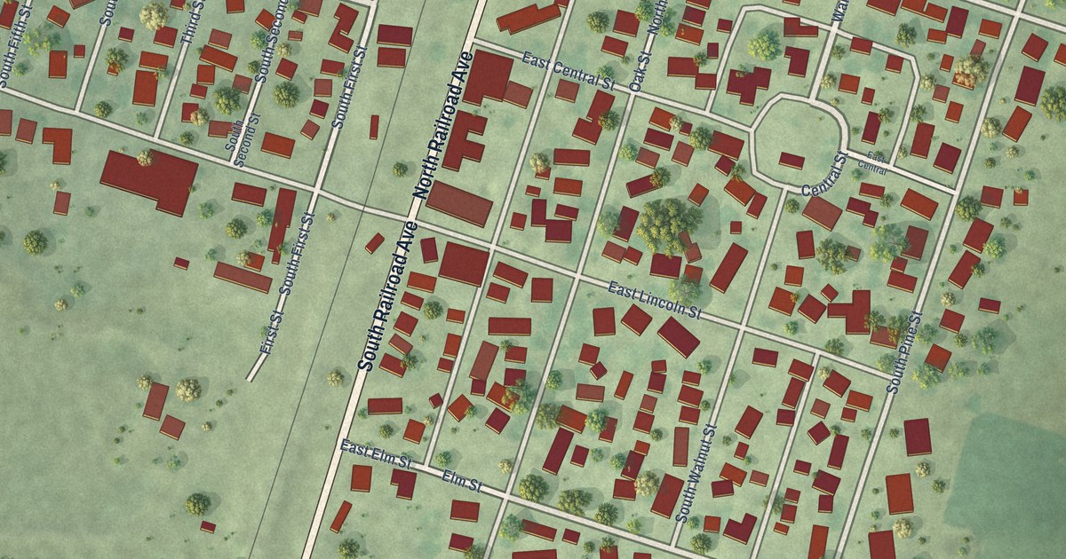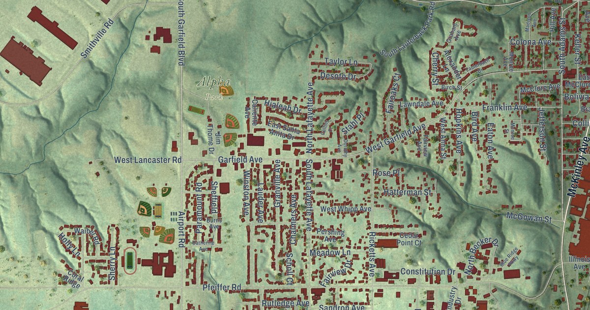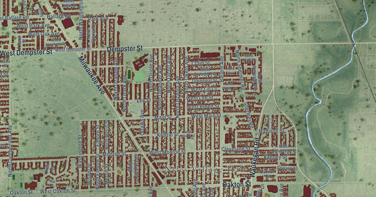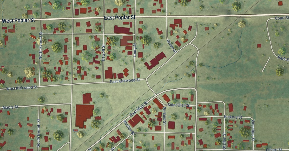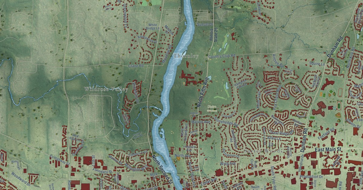
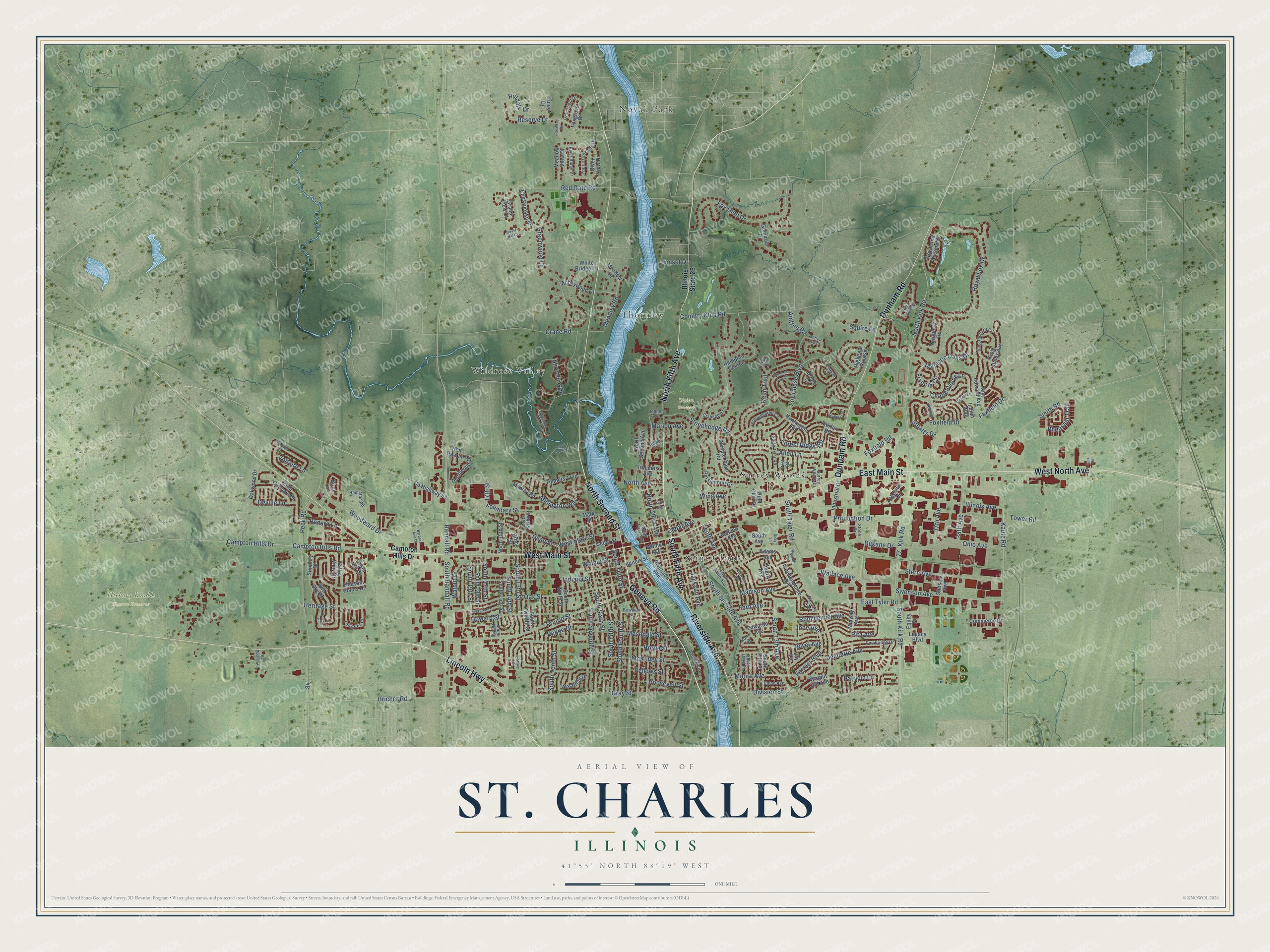
This beautifully detailed map of St. Charles, Illinois was created in 2026 using aerial imagery combined with modern topographical, census, street and landmark data. It's a modern aerial view of St. Charles in Kane County, Illinois, that combines modern data with a vintage aesthetic. The roads feature printed names, and if you look closely you can find your exact house accurately shown in its correct location.
Explore an aerial view of St. Charles, Illinois
On this map you'll find Hickory Knolls Nature Preserve, Union Cemetery, Novak Park, Saint Charles, Surrey Woods, Thornley, Wildrose Valley, Geneva Road, East Main Street, Dunham Road, West Main Street, North Fifth Avenue, and more. Each red shape is a building, so zoom in on the preview and look for yours.
Here is a piece of St. Charles history, in the words of the record. The Historical Marker Database puts it this way: "With the transportation opportunities provided by a railroad spur that ran from the trestle bridge to Main Street, St. Charles became a major dairy center by the early 1900s. The St. Charles Condensing Company produced evaporated cream, which won top international awards."
St. Charles is a city in Kane County. The Census Bureau counted 33,081 people here in 2020.
Take a closer look at the St. Charles map
Names on this map
These names are printed on this map.
Places: Hickory Knolls Nature Preserve, Union Cemetery, Novak Park, Saint Charles, Surrey Woods, Thornley and Wildrose Valley.
Streets and roads: Geneva Road, East Main Street, Dunham Road, West Main Street, North Fifth Avenue, Lincoln Highway, Riverside Avenue, North Second Street, West North Avenue, South Fifth Avenue, Dean Street, Reserve Drive.
More street names, A to Z
17th Street, 37th Avenue, 38th Avenue, Abbeywood Drive, Adams Avenue, Aintree Road, Allen Lane, Antoine Court, Banbury Avenue, Barbara Ann Drive, Birch Lane, Bowman Street, Bricher Road, Bridle Court, Brook Street, Cambridge Drive, Campton Hills Drive, Campton Hills Road, Cedar Avenue, Cedar Street, Charlemagne Lane, Chasse Circle, Chesapeake Road, Commerce Drive, Country Club Road, County Highway 53, Crabapple Lane, Crane Road, Delnor Avenue, Deville Lane, Division Street, Dover Hill Court, Dukane Drive, Dunham Place, East Tyler Road, Edwards Avenue, Eleventh Avenue, Equity Drive, Evergreen Street, Fairfax Road, Faxfield Drive, Fellows Street, Fern Avenue, Ferson Creek Road, Foley Drive, Forest Ridge Road, Forrest Boulevard, Foundary Street, Fox Chase Boulevard, Foxfield Drive, Foxfield Road, Fox Glen Drive, Foxgrove Drive, Francis Circle, Glenbriar Drive, Grandfield Drive, Grand View Court, Gray Street, Greenwood Lane, Hamilton Road, Hampton Course, Heritage Street, Highgate Course, Hilldale Drive, Horizon Drive, Horne Street, Howard Street, Hunt Club Drive, Huntington Road, Illinois Avenue, Illinois State 25, Illinois Street, Independence Avenue, Indiana Avenue, Indiana Street, Indian Way, Industrial Drive, Iroquois Avenue, Jackson Avenue, Jay Lane, Jeanette Avenue, Jewel Avenue, Jobe Avenue, Johnor Avenue, Karl Madsen Drive, Kautz Road, Kehoe Drive, Keim Court, Keim Trail, King Edward Avenue, King James Avenue, King Richard Circle, Kirk Road, Lakeside Drive, Langston Circle, Legacy Boulevard, Liberty Avenue, Madison Avenue, Majestic Oaks Drive, Manley Road, Marie Street, Marion Avenue, Mark Street, McKinley Street, Meadow Drive, Meadow Road, Meadow View Drive, Midway Avenue, Millington Way, Moore Avenue, Mosedale Street, Munhall Avenue, North 15th Street, North Avenue, North First Avenue, North Kirk Road, North Second Avenue, North Third Avenue, North Twelfth Street, North Tyler Road, Oak Road, Oak Street, Oakwood Drive, Ohio Avenue, Oxbow Lane, Park Avenue, Patricia Lane, Peck Road, Persimmon Drive, Pheasant Trail, Pleasant Plains Drive, Post Road, Prairie Crossing Drive, Prairie Street, Production Drive, Randall Road, Red Gate Road, Red Haw Lane, Red Sky Drive, Renard Lane, Riding Lane, Rita Avenue, River Ridge Drive, River View Drive, Robyn Lane, Ronzheimer Avenue, Roosevelt Street, Rosebud Drive, Royal and Ancient Drive, Royal Fox Drive, Royal Lytham Drive, Ruth Avenue, Saint Germain Place, Shoreline Drive, Smith Road, South 13th Avenue, South 13th Street, South 14th Street, South 15th Street, South 16th Street, South 17th Street, South 18th Street, South 19th Street, South Avenue, South Fifth Place, South Fifth Street, South Fourth Street, South Kirk Road, South Ninth Avenue, South Ninth Street, South Randall Road, South Seventh Avenue, South Seventh Street, South Sixth Street, South Tenth Street, South Third Place, South Third Street, South Twelfth Street, South Tyler Road, Squire Lane, Steeplechase Road, Stern Avenue, Stetson Avenue, Stirrup Cup Court, Stone Drive, Stonehedge Road, Stuarts Drive, Sunbury Drive, Sunset Drive, Surrey Woods Drive, Swenson Avenue, Tenth Avenue, Thornwood Drive, Thoroughbred Circle, Timbers Trail, Tower Hill Drive, Tower Road, Turnberry Road, Union Avenue, Valley View Drive, Voltaire Lane, Wallace Avenue, Walnut Avenue, Walnut Drive, Walnut Hill Avenue, Walnut Street, Westfield Drive, West State Street, White Bridge Lane, Wildrose Springs Drive, Willowgate Lane, Wing Avenue, Winners Cup Circle, Woodward Drive.
Created by KNOWOL in 2026. The buildings are small red shapes, the roads carry their printed names, and shaded relief shows the shape of the land. The title panel reads "AERIAL VIEW OF ST. CHARLES ILLINOIS" with 41°55' NORTH 88°19' WEST.
It suits a den, a classroom or a front hall, and it makes a gift for anyone with St. Charles roots. Open the preview and find the block you know. See sizes and frames for the St. Charles map.