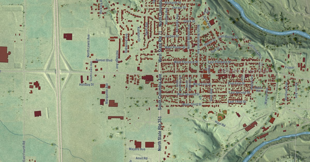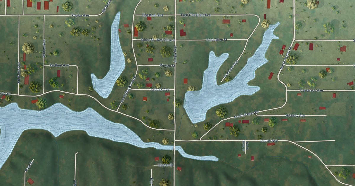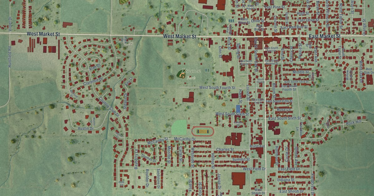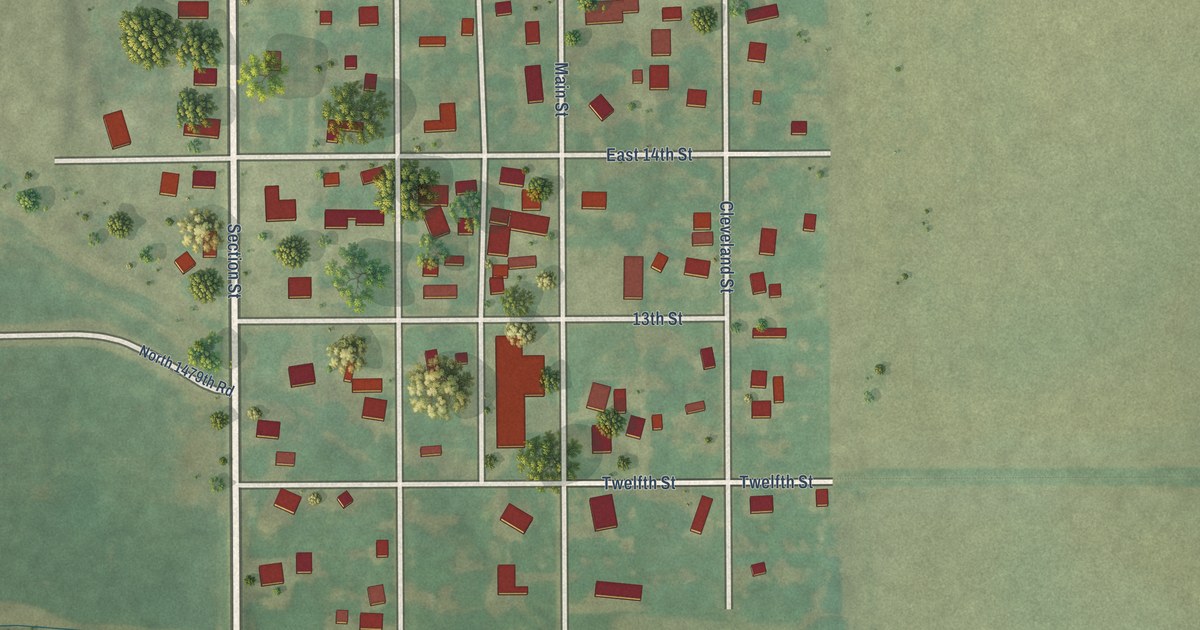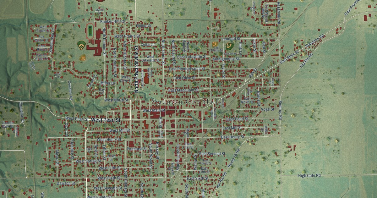
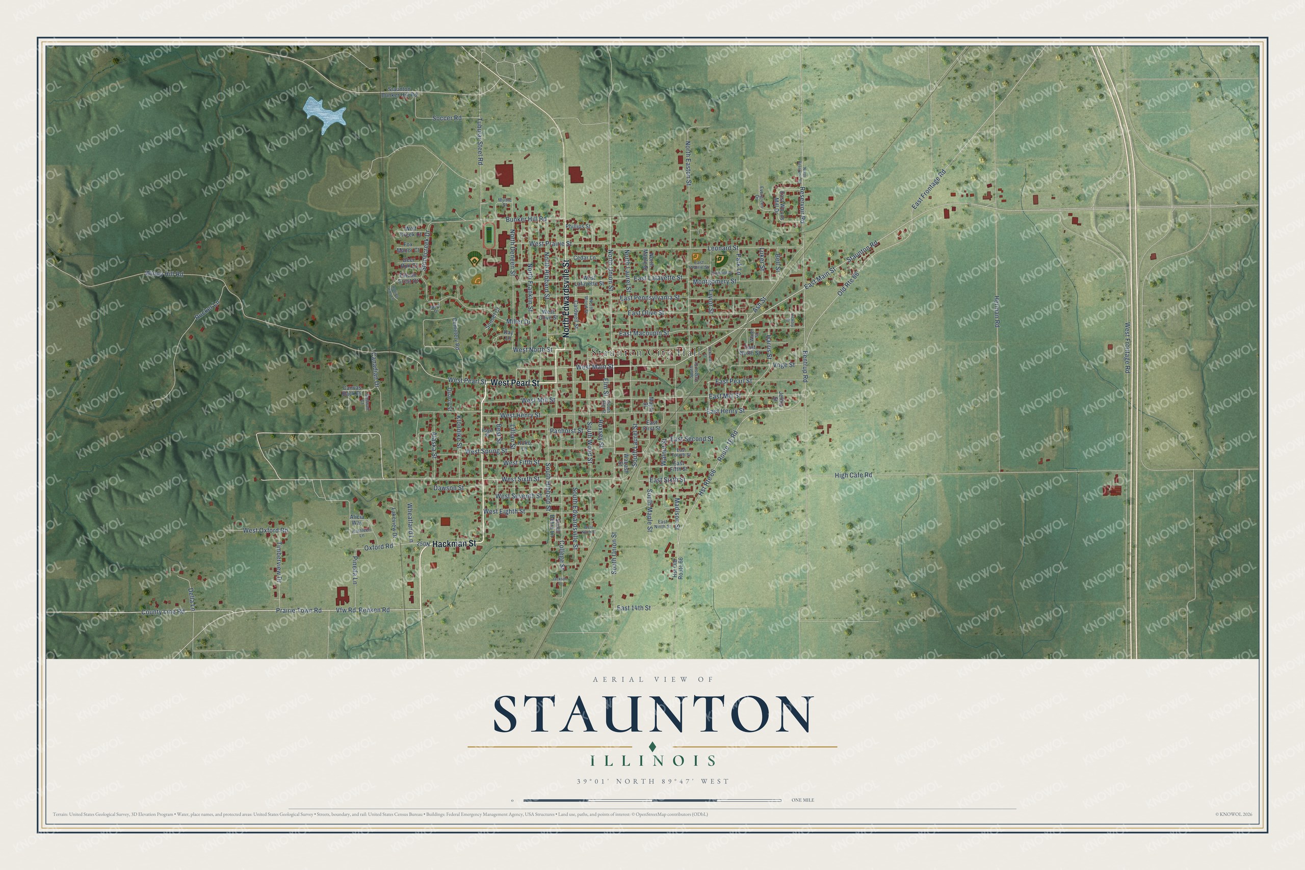
This beautifully detailed map of Staunton, Illinois was created in 2026 using aerial imagery combined with modern topographical, census, street and landmark data. It's a modern aerial view of Staunton in Macoupin County, Illinois, that combines modern data with a vintage aesthetic. The roads feature printed names, and if you look closely you can find your exact house accurately shown in its correct location.
Explore an aerial view of Staunton, Illinois
On this map you'll find Staunton City Hall, Hackman Street, West Pearl Street, North Edwardsville Street, South Union Street, Renken Road, West Sixth Street, County Line Road, East Main Street, North Union Street, West North Street, East Sixth Street, and more. Each red shape is a building, so zoom in on the preview and look for yours.
Every town has a first chapter, and Staunton is no exception. The Macoupin County History puts it this way: "Snell attended the first school ever taught in Staunton township, which was held in a little log school-house, three quarters of a mile northwest of Staunton."
Staunton is a city in Macoupin County. The Census Bureau counted 5,054 people here in 2020.
Take a closer look at the Staunton map
Names on this map
These names are printed on this map.
Places: Staunton City Hall.
Streets and roads: Hackman Street, West Pearl Street, North Edwardsville Street, South Union Street, Renken Road, West Sixth Street, County Line Road, East Main Street, North Union Street, West North Street, East Sixth Street, Staunton Road.
More street names, A to Z
Alaska Street, Alicia Way, Ash Street, Bell Street, Bentrup Road, Best Street, Brier Drive, Bunker Hill Road, Caldwell Street, Canadian Drive, Canvas Back Drive, Cedar Lane, Cemetery Road, College Street, Dawson Street, Deer Run Court, Della Lane, Diamond Drive, East 14th Street, East Fifth Street, East First Street, East Fourth Street, East Frontage Road, East Henry Street, East Lafayette Street, East Macoupin Street, East Mill Street, East Ninth Street, East North Street, East Olive Street, East Pearl Street, East Pennsylvania Street, East Prairie Street, East Second Street, East Woods Mill Drive, Elm Street, Evergreen Drive, Falcon Crest Court, Fox Manor Court, Gadwall Court, Harris Street, Henrietta Street, Herman Road, Hickory Street, High Cafe Road, Hoxsey Street, Hst Old Route 66, Hst Route 66, Jackson Street, Jeffko Street, Kathleen Lane, Kay Lane, Klondike Street, Koko Lane, Lakeview Drive, Leonard Street, Lillian Street, Luker Street, Madison Street, Maple Street, Miller Drive, Montgomery Street, Myrtle Street, North Deneen Street, North Easton Street, North Franklin Street, North Hibbard Street, North Laurel Street, North Maple Street, North Reservoir Road, North Wood Street, Old Route 66, Oxford Road, Page Street, Panhorst Street, Park Lane, Phillips Street, Pineda Lane, Prairie Town Road, Quarry Street, Reservoir Road, Rolling Hills Lane, Route 16 Road, Rucker Lane, Soccer Road, South Debra Lane, South Easton Street, South Edwardsville Street, South Elm Street, South Hibbard Street, South Laurel Street, South Maple Street, South Wood Street, Staunton Bunker Hill Road, Stonecreek Drive, Sunset Court, Taylor Street, Timberview Drive, Tubular Steel Road, Vfw Road, Voge Street, Wabash Street, Walnut Street, Water Street, West Eighth Street, West Fifth Street, West Frontage Road, West Henry Street, West Lafayette Street, West Main Street, West Mill Street, West Ninth Street, West Olive Street, West Oxford Road, West Prairie Street, West Seventh Street, West Spring Street, Wheatland Lane, Windy Hill Road, Wolf Creek Court.
Created by KNOWOL in 2026. The buildings are small red shapes, the roads carry their printed names, and shaded relief shows the shape of the land. The title panel reads "AERIAL VIEW OF STAUNTON ILLINOIS" with 39°01' NORTH 89°47' WEST.
Hang it in the hallway, the office or the cabin, or give it to someone who left Staunton and still calls it home. Open the preview and look for a street you know. See sizes and frames for the Staunton map.