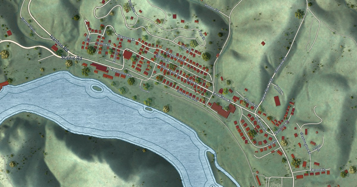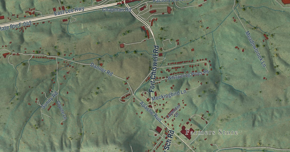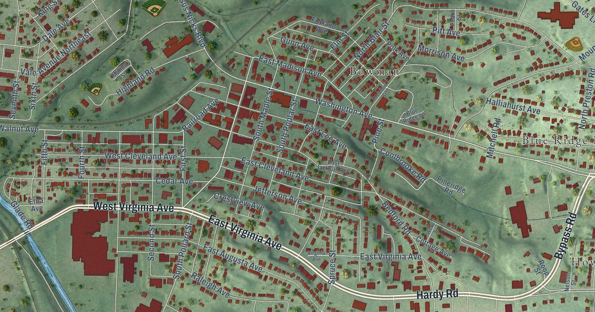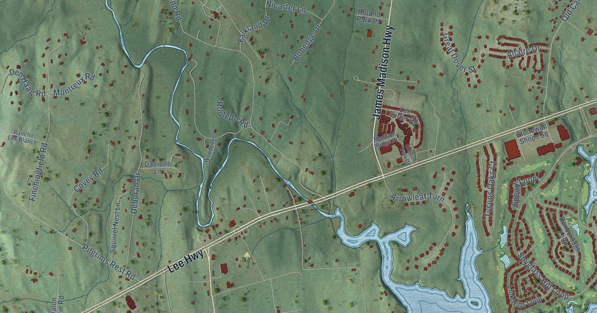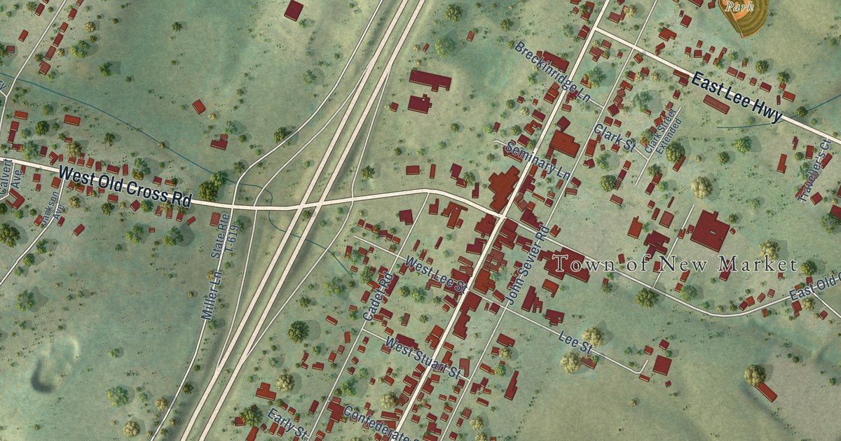
This beautifully detailed map of New Market, Virginia was created in 2026 using aerial imagery combined with modern topographical, census, street and landmark data. It’s a one-of-a-kind view of New Market that combines accurate data with a vintage aesthetic. The map shows every building in its true location, many of the roads carry their names, and the shaded topographic relief shows the shape of the land.
Explore an aerial view of New Market, Virginia
On the map you’ll find Town of New Market, Shenvalee Golf Resort, Rebel Park, and Shenvalee Creek Course, along with West Old Cross Road, South Congress Street, North Congress Street, East Lee Highway, East Old Cross Road, Miller Lane, John Sevier Road, Clicks Lane, and more. If you look closely you can even find your house accurately drawn in its correct location. Zoom in on the preview to look for yours.
Did you know this piece of New Market, Virginia history?
The Battle of New Market was fought here on May 15, 1864. Cadets from the Virginia Military Institute fought beside the Confederate army. Together they forced Union General Franz Sigel and his troops to leave the Shenandoah Valley. VMI cadets still honor the 85 mile march from Lexington every year.
Take a closer look at the New Market map
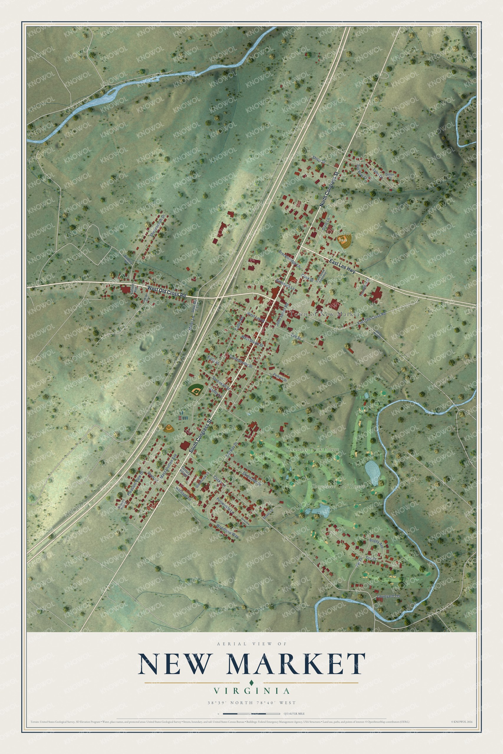
Street and place names on the New Market, Virginia map
These names are printed on the map of New Market, Virginia.
Places: Town of New Market, Shenvalee Golf Resort, Rebel Park and Shenvalee Creek Course.
Streets and roads: West Old Cross Road, South Congress Street, North Congress Street, East Lee Highway, East Old Cross Road, Miller Lane, John Sevier Road, Clicks Lane, Cadet Road, Fairway Drive, Massanutten Avenue, Shenandoah Drive.
More street names, A to Z
Ashby Lane, Bindery Road, Bogey Avenue, Breckinridge Lane, Calvert Avenue, Century Village, Clark Street, Clark Street Extended, Confederate Street, Courtyard Terrace, Dillon Court, Dixie Lane, Driver Lane, Early Street, Greenview Lane, Heritage Lane, Jackson Avenue, Lee Street, Par Drive, Pelham Drive, Periwinkle Lane, Perwinkle Lane, Pleasant View Drive, Pleasent View Drive, Seminary Lane, Shady Lane, Shenvalee Drive, Shipp Street, State Route T-619, Stonewall Street, Sun Beau Court, Tee Court, Traveller's Court, Tyler Drive, West Lee Street, West Stuart Street, White Mill Road, Woodbine Way.
See the New Market, Virginia map on a wall
The New Market map as an 18 x 24 inch print in a black frame.

This beautifully detailed map of New Market makes an attractive addition to your office, library, or den, and it can even be used to teach children the geography and history of the area. It also makes a great gift for anyone with New Market roots. When you’re done exploring, click here to get your copy of the New Market map.