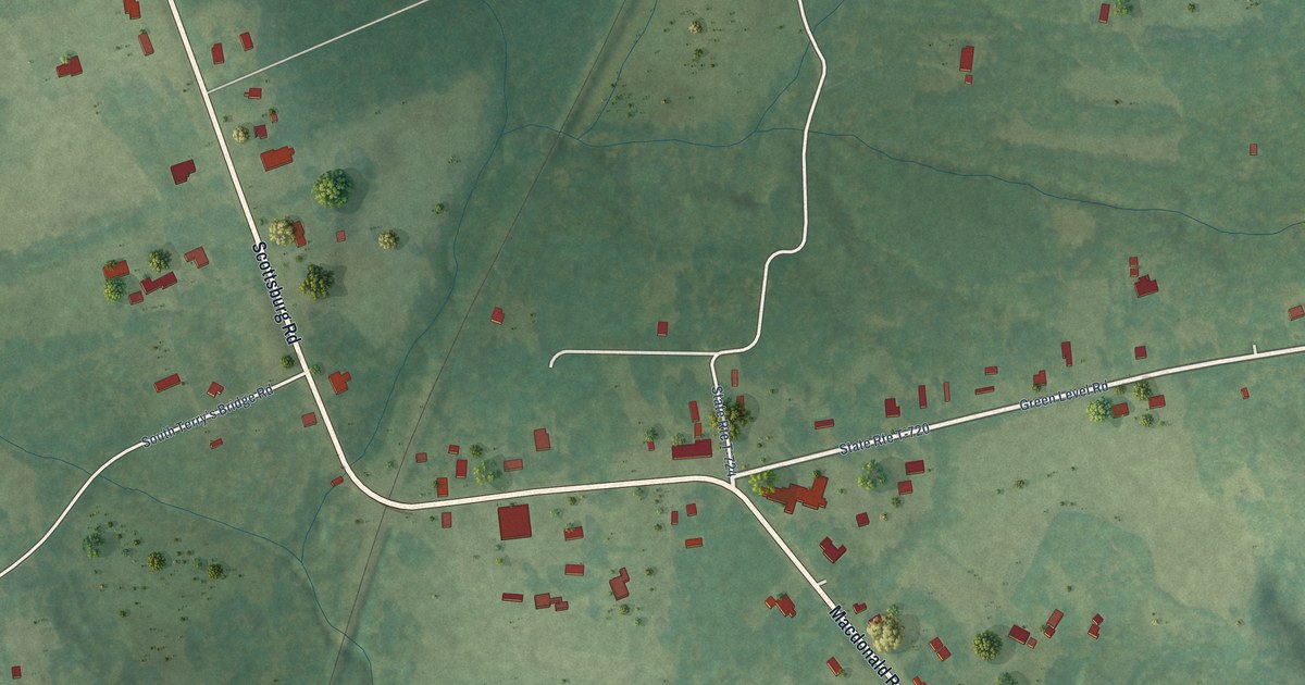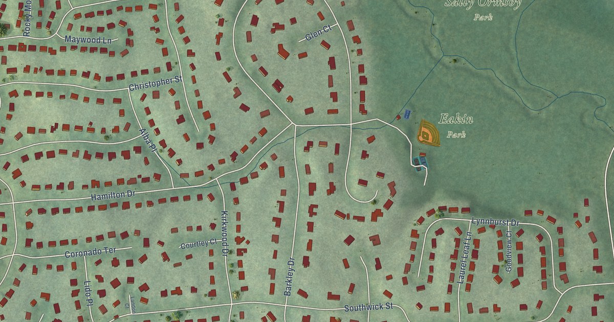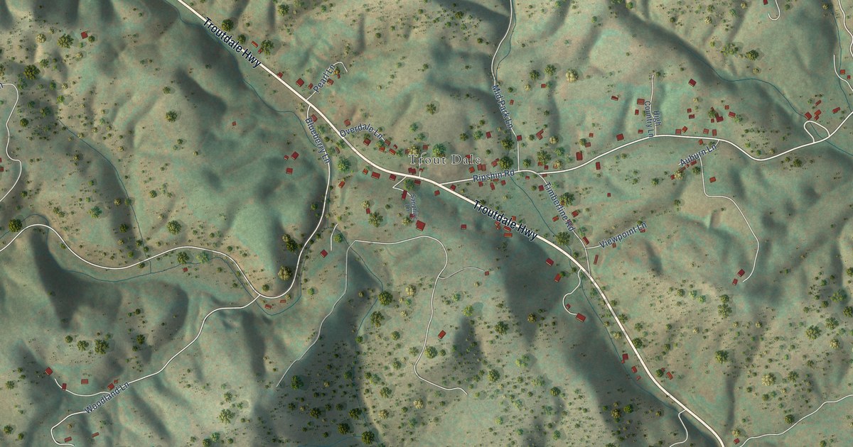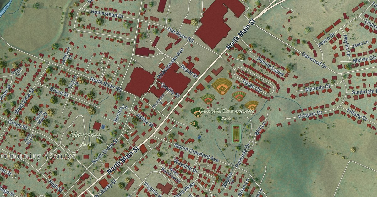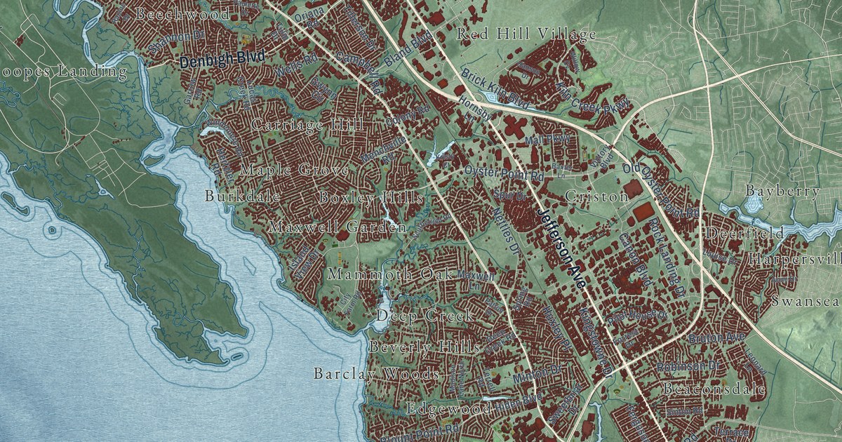
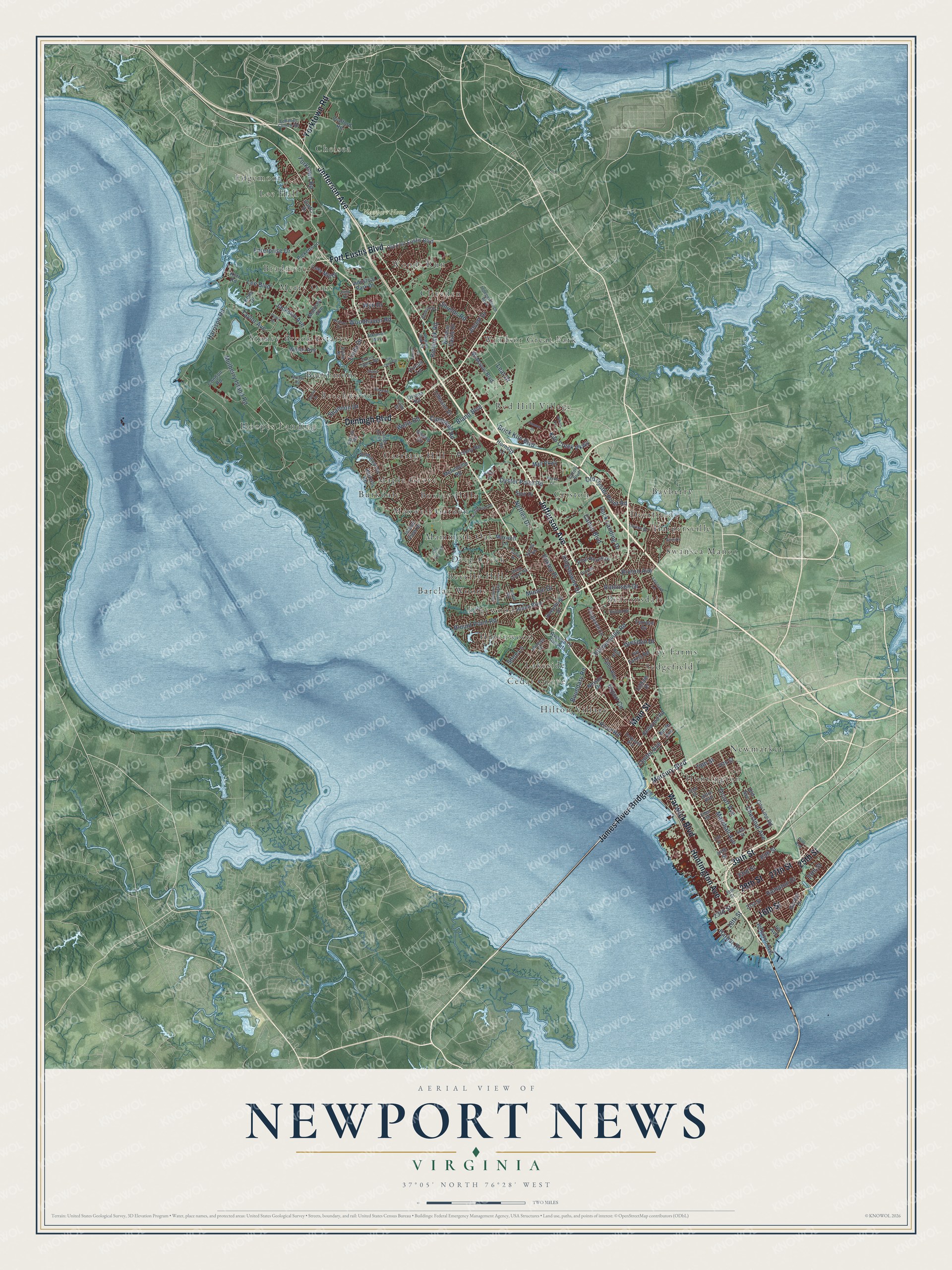
This beautifully detailed map of Newport News, Virginia was created in 2026 using aerial imagery combined with modern topographical, census, street and landmark data. It's a modern aerial view of Newport News in Newport News city, Virginia, that combines modern data with a vintage aesthetic. The roads feature printed names, and if you look closely you can find your exact house accurately shown in its correct location.
Explore an aerial view of Newport News, Virginia
On this map you'll find Newport News Park, Barclay Woods, Bayberry, Beaconsdale, Beechmont, Beechwood, Beverly Hills, Boxley Hills, Bradmere, Burkdale, Carriage Hill, Cedar Grove, and more. Each red shape is a building, so zoom in on the preview and look for yours.
Every town has a first chapter, and Newport News is no exception. The record at vcris.dhr.virginia.gov puts it this way: "Garvey spoke near here at the Dixie Theatre and at First Baptist Church in Newport News in 1919 to raise funds for the UNIA’s Black Star Line, a steamship company."
Newport News is a city in Newport News city. The Census Bureau counted 186,247 people here in 2020.
Take a closer look at the Newport News map
Names on this map
These names are printed on this map.
Places: Newport News Park, Barclay Woods, Bayberry, Beaconsdale, Beechmont, Beechwood, Beverly Hills, Boxley Hills, Bradmere, Burkdale, Carriage Hill, Cedar Grove, Chelsea, Cliveden, Criston, Deep Creek, Deerfield, Edgemoor, Edgewood, Harpersville, Hidenwood, Hilton Village, Hoopes Landing, Huntington, Ivy Farms, Lakeside, Lee Hall, Mammoth Oak, Maple Grove, Maxwell Garden, Merry Oaks, Newmarket, Red Hill Village, Sedgefield, Stoney Brook Estates, Swansea Manor, Windsor Great Park and Woods Run.
Streets and roads: Jefferson Avenue, 27th Street, 28th Street, 16th Street, James River Bridge, Warwick Boulevard, Denbigh Boulevard, Fort Eustis Boulevard, Huntington Avenue, 25th Street, 39th Street, Yorktown Road.
More street names, A to Z
18th Street, 19th Street, 21st Street, 23rd Street, 33rd Street, 35th Street, 44th Street, 48th Street, 50th Street, 72nd Street, 76th Street, 79th Street, Anne Drive, Arline Drive, Atkinson Way, Avenue of the Arts, Baxter Lane, Bellwood Road, Bland Boulevard, Blount Point Road, Boundary Road, Brick Kiln Boulevard, Bruton Avenue, Campbell Road, Canon Boulevard, Center Avenue, Charter Oak Drive, Chestnut Avenue, Circuit Lane, City Farm Road, City Land Fill, City Line Road, Colony Road, Condon Road, Crafford Road, Curtis Drive, Curtis Tignor Road, Deep Creek Road, Deputy Lane, Dresden Drive, Ellen Road, Enterprise Drive, Export Circle, Ferguson Avenue, Ferguson Lane, Forrest Drive, Garden Drive, Garrow Road, Gwynn Circle, Hampton Drive, Hanson Drive, Harbor Road, Harpersville Road, Harrison Road, Hertzler Road, Hiden Boulevard, Hilton Boulevard, Hornsby Lane, Hull Street, Huxley Place, Independence Boulevard, Industrial Park Drive, Island View Drive, Ivy Avenue, Ivy Farms Road, Jackson Avenue, Jouett Drive, Judy Drive, Kells Drive, Kerr Road, Kiln Creek Parkway, Kingstowne Drive, Kristy Court, Latham Drive, Lear Drive, Lebanon Church Road, Lee Boulevard, Lees Mill Drive, Leonard Lane, Linda Drive, Louise Drive, Lucas Creek Road, Madison Avenue, Madison Lane North, Main Street, Mall Parkway, Marshall Avenue, Maxwell Lane, McManus Boulevard, Menchville Road, Mercury Boulevard, Mimosa Drive, Minton Drive, Moyer Road, Mulberry Island Road, Nelson Drive, Nettles Drive, North Avenue, Old Avenue, Old Fort Eustis Boulevard, Old Oyster Point Road, Orcutt Avenue, Oriana Road, Oyster Point Road, Patton Drive, Paulette Drive, Pearl Place, Picketts Lane, Pilot House Drive, Pine Avenue, Racine Drive, Rexford Drive, Richland Drive, Richneck Road, River Road, Robinson Drive, Rock Landing Drive, Scufflefield Road, Shannon Drive, Shields Road, Shoe Lane, Sinton Road, Spring Road, Spur Drive, Sweetbriar Drive, Taylor Avenue, Terrace Drive, Terrell Road, Thalia Drive, Tillerson Drive, Tulip Drive, Tyler Avenue, Victory Boulevard, Wells Road, Willow Cv, Wilson Avenue, Windemere Road, Windsor Castle Drive, Woodhaven Road, Wyn Drive.
Created by KNOWOL in 2026. The buildings are small red shapes, the roads carry their printed names, and shaded relief shows the shape of the land. The title panel reads "AERIAL VIEW OF NEWPORT NEWS VIRGINIA".
Hang it in the hallway, the office or the cabin, or give it to someone who left Newport News and still calls it home. Open the preview and look for a street you know. See sizes and frames for the Newport News map.