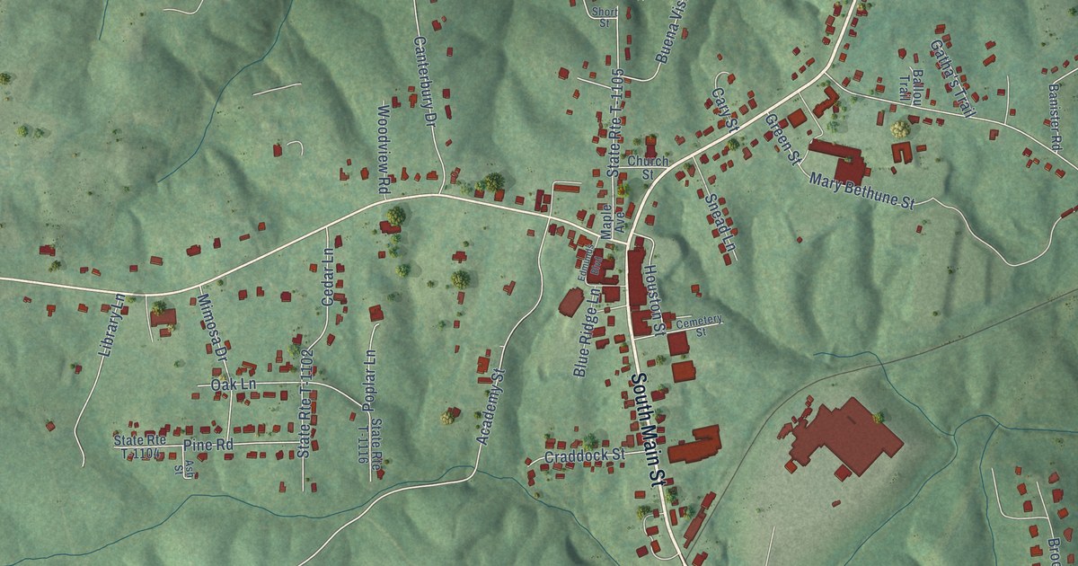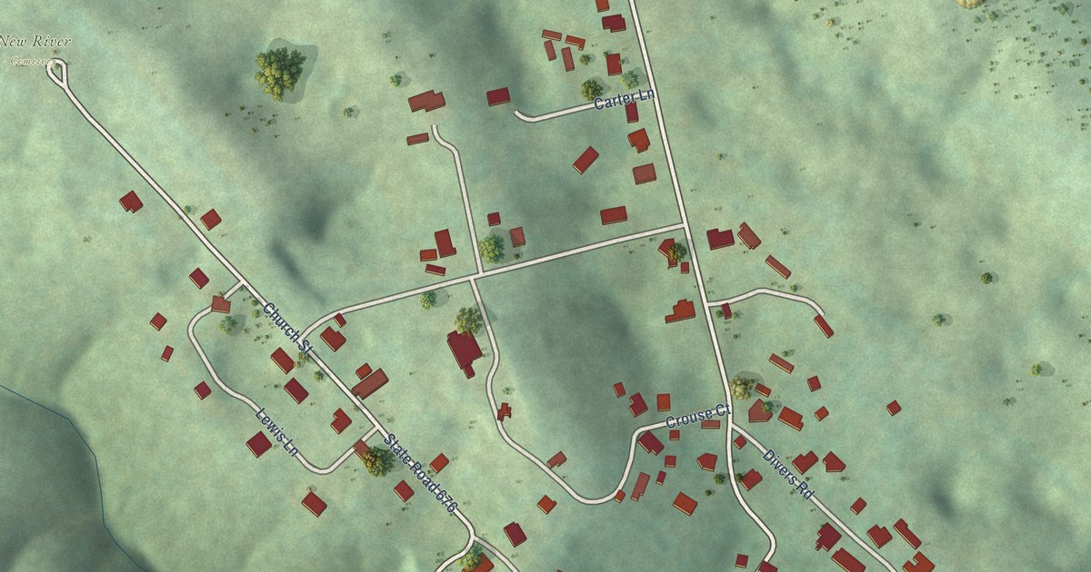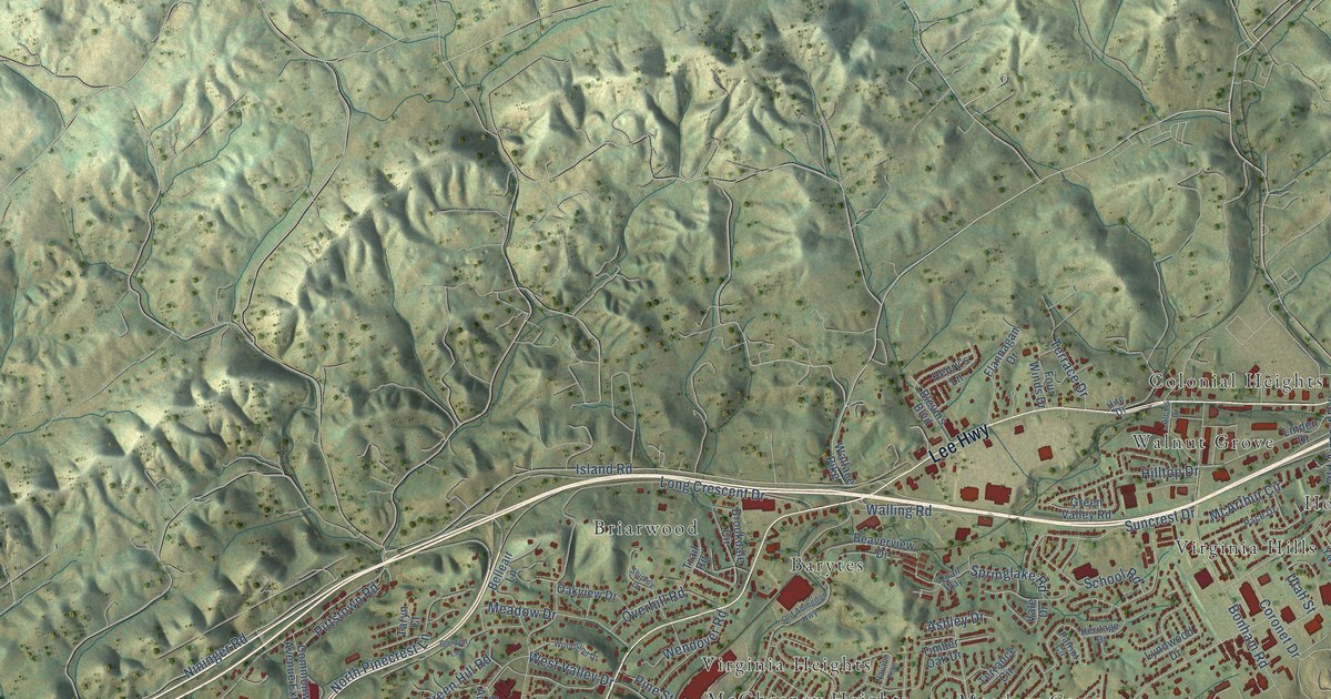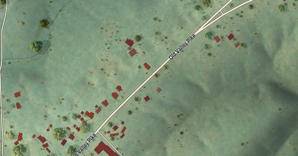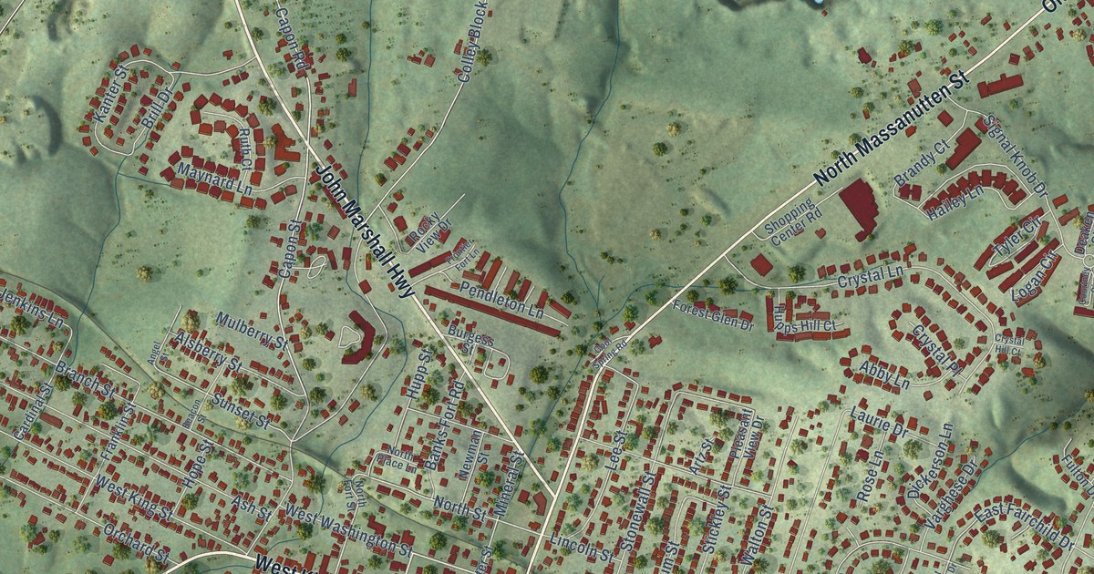
This beautifully detailed map of Strasburg, Virginia was created in 2026 using aerial imagery combined with modern topographical, census, street and landmark data. It’s a one-of-a-kind view of Strasburg that combines accurate data with a vintage aesthetic. The map shows every building in its true location, many of the roads carry their names, and the shaded topographic relief shows the shape of the land.
Explore an aerial view of Strasburg, Virginia
On the map you’ll find Strasburg Park and Strasburg Junction, along with East King Street, Front Royal Road, West King Street, Stover Avenue, Old Valley Pike, North Massanutten Street, John Marshall Highway, South Holliday Street, East Washington Street, East Queen Street, and more. If you look closely you can even find your house accurately drawn in its correct location. Zoom in on the preview to look for yours.
Did you know this piece of Strasburg, Virginia history?
From Vcris.dhr.virginia.gov: "The Queen Street School, one of the first schools in Shenandoah County for African Americans, had opened in Strasburg by 1875."
Take a closer look at the Strasburg map
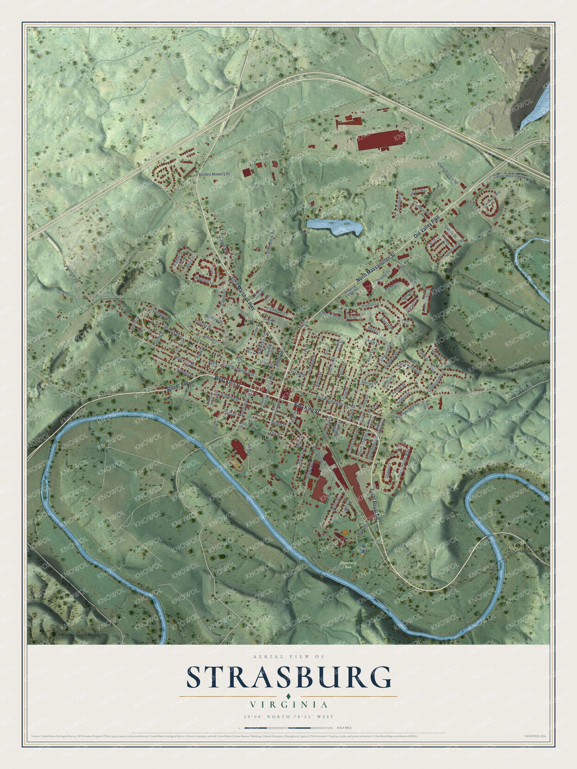
Street and place names on the Strasburg, Virginia map
These names are printed on the map of Strasburg, Virginia.
Places: Strasburg Park and Strasburg Junction.
Streets and roads: East King Street, Front Royal Road, West King Street, Stover Avenue, Old Valley Pike, North Massanutten Street, John Marshall Highway, South Holliday Street, East Washington Street, East Queen Street, South Funk Street, Capon Road.
More street names, A to Z
Abby Lane, Acton Place, Aden Drive, Afton Place, Aileen Avenue, Alsberry Street, Angel Street, Anna Mae Court, Artz Street, Ash Street, Banks Fort Road, Beacon Street, Borden Mowery Drive, Borum Street, Bowman Mill Road, Branch Street, Brandy Court, Brill Drive, Brown Street, Burgess Street, Capon Street, Cardinal Street, Carrier Drive, Christiansen Drive, Colley Block Road, Cool Spring Road, Courtney Circle, Crim Drive, Crystal Hill Court, Crystal Lane, Crystal Place, Daniel Court, Deaken Circle, Dellinger Drive, Devine Drive, Dickerson Lane, Duke Circle, East Fairchild Drive, Ellen Drive, Forest Glen Drive, Founders Way, Franklin Street, Frontier Fort Lane, Fulton Drive, Hailey Lane, High Street, Hite Lane, Homewood Way, Hope Street, Hupps Hill Court, Hupp Street, Island Farm Road, Jenkins Lane, Junction Road, Kanter Street, Keller Lane, Laurie Drive, Lee Street, Lincoln Street, Locust Drive, Logan Circle, Maynard Lane, Miller Drive, Mineral Street, Mulberry Street, Newman Street, North Charles Street, North Eberly Street, North Fort Street, North Loudoun Street, North Place Lane, North Street, North Water Street, Orchard Street, Oxbow Drive, Park Road, Pendleton Lane, Pleasant View Drive, Pouts Hill Road, Radio Station Road, Ram Drive, Rocky View Drive, Rose Lane, Royal Avenue, Ruth Court, Seldon Drive, Settlers Way, Sharpe Street, Shopping Center Road, Signal Knob Drive, South Charles Street, South Eberly Street, South Fort Street, South Loudoun Street, South Marshall Street, South Massanutten Street, South Water Street, Stickley Street, Stonewall Street, Stony Pointe Way, Stuart Court, Sunset Street, Taylor Street, Tracy Drive, Tyler Circle, Varghese Drive, Virginia Circle, Virginia Street, Walton Street, West Fairchild Drive, West Queen Street, West Washington Street, Zea Street.
See the Strasburg, Virginia map on a wall
The Strasburg map as an 18 x 24 inch print in a black frame.

This beautifully detailed map of Strasburg makes an attractive addition to your office, library, or den, and it can even be used to teach children the geography and history of the area. It also makes a great gift for anyone who grew up in Strasburg or moved away. When you’re done exploring, click here to get your copy of the Strasburg map.