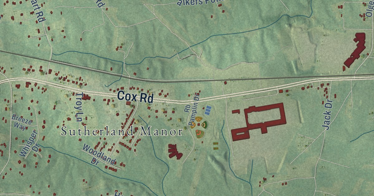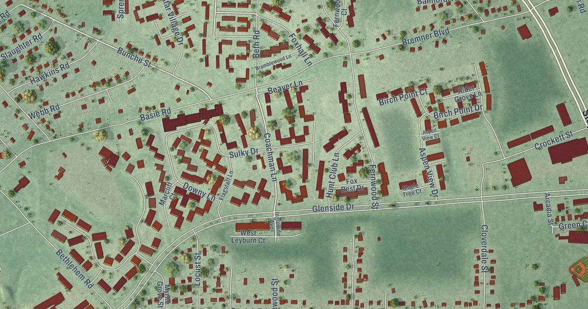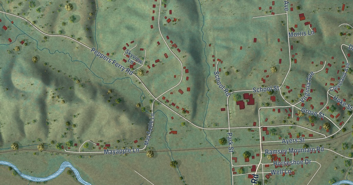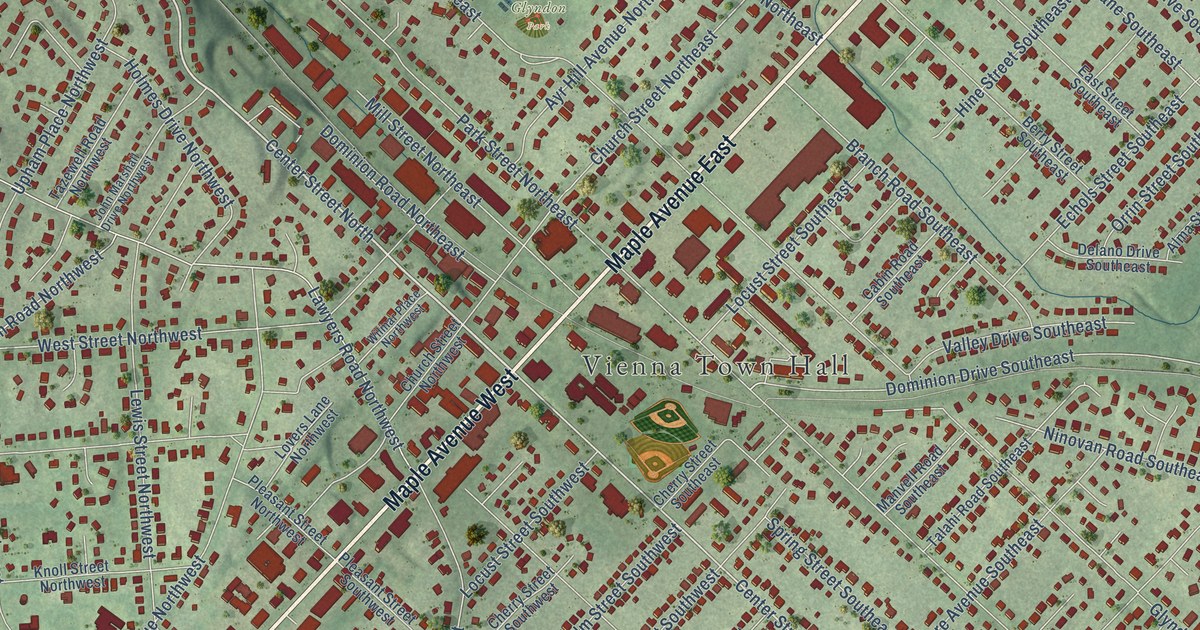
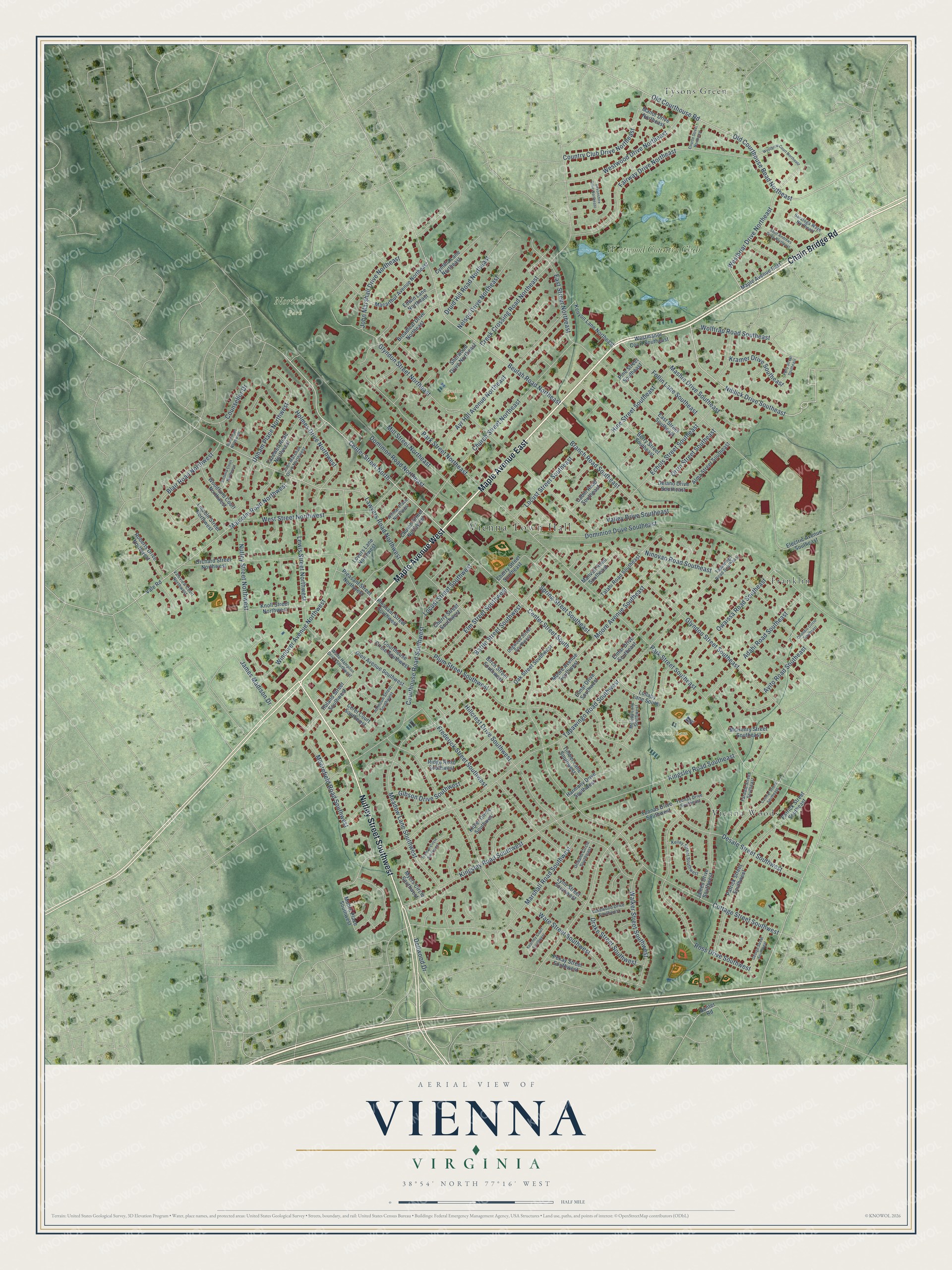
This beautifully detailed map of Vienna, Virginia was created in 2026 using aerial imagery combined with modern topographical, census, street and landmark data. It’s a one-of-a-kind view of Vienna that combines accurate data with a vintage aesthetic. The map shows every building in its true location, many of the roads carry their names, and the shaded topographic relief shows the shape of the land.
Explore an aerial view of Vienna, Virginia
On the map you’ll find Vienna Town Hall, Northside Park, Cunningham Park, Glyndon Park, Franklin, Tysons Green, Vienna Woods, and Westwood Country Club, along with Maple Avenue East, Chain Bridge Road, Maple Avenue West, Nutley Street Southwest, and more. If you look closely you can even find your house accurately drawn in its correct location. Zoom in on the preview to look for yours.
Did you know this piece of Vienna, Virginia history?
From the Town of Vienna: "The railroad reached Vienna in 1859 and provided the impetus for growth into a real village."
Take a closer look at the Vienna map
Street and place names on the Vienna, Virginia map
These names are printed on the map of Vienna, Virginia.
Places: Vienna Town Hall, Northside Park, Cunningham Park, Glyndon Park, Franklin, Tysons Green, Vienna Woods and Westwood Country Club.
Streets and roads: Maple Avenue East, Chain Bridge Road, Maple Avenue West, Nutley Street Southwest, Center Street North, Niblick Drive Southeast, Westbriar Drive Northeast, Center Street South, Old Courthouse Road Northeast, Old Courthouse Road, Cottage Street Southwest, Park Street Southeast.
More street names, A to Z
Adahi Road Southeast, Alma Street Southeast, Ayito Road Southeast, Ayr Hill Avenue Northeast, Battle Street Southwest, Berry Street Southeast, Beulah Road Northeast, Birch Street Southwest, Blair Court Northwest, Blair Road Northwest, Branch Road Southeast, Broadleaf Drive Northeast, Cabin Road Southeast, Casmar Street Southeast, Ceret Court Southwest, Cherry Street Southeast, Cherry Street Southwest, Church Street Northeast, Church Street Northwest, Counsellor Drive, Country Club Drive Northeast, Course Street Northeast, Courthouse Circle Southwest, Courthouse Road Southwest, Creek Crossing Road Northeast, Cynthia Lane Northeast, Delano Drive Southeast, Dellwood Drive, Desale Street Southwest, Devonshire Drive Northeast, Dogwood Street Southwest, Dominion Drive Southeast, Dominion Road Northeast, Drake Street Southwest, Druid Hill Road Northeast, East Street Northeast, East Street Southeast, Echols Street Southeast, Edwin Lane Northeast, Electric Avenue Southeast, Elmar Drive Southeast, Elmar Drive Southwest, Elm Street Southwest, Fairway Drive Northeast, Fardale Street Southeast, Follin Lane Southeast, Frederick Street Southwest, George Street Southwest, Gibson Drive Southwest, Glen Avenue Southwest, Glyndon Street Northeast, Glyndon Street Southeast, Harmony Drive Southwest, Hillcrest Drive Southwest, Hine Street Southeast, Holmes Drive Northwest, Hunter Road, James Drive Southwest, James Madison Drive, John Marshall Drive Northeast, John Marshall Drive Northwest, Johnson Street Southwest, Kearney Court Southwest, Kelley Street Southwest, Kenyon Lane Northeast, Kibler Circle Southwest, Kingsley Road Southeast, Kingsley Road Southwest, Knoll Street Northwest, Kramer Drive Southeast, Lakewood Drive Southwest, Lawyers Road Northwest, Lewis Street Northwest, Lincoln Street Northwest, Locust Street Southeast, Locust Street Southwest, Lovers Lane Northwest, Lullaby Lane South, Lynn Street Southwest, Macarthur Avenue Northeast, Malcolm Road Northwest, Manor Drive Northeast, Manvell Road Southeast, Marshall Road Southwest, Mashie Drive Southeast, McHenry Street Southeast, Meadow Lane Southwest, Melody Lane Southwest, Mill Street Northeast, Moore Avenue Southeast, Moore Avenue Southwest, Moorefield Road Southwest, Moore Place Southwest, Myers Circle Southwest, Nelson Drive Northeast, Ninovan Road Southeast, Nutley Street Northwest, Oak Street Southwest, Onondio Circle Southeast, Orchard Street Northwest, Orleans Circle Southwest, Orrin Street Southeast, Owaissa Road Southeast, Park Street Northeast, Patrick Street Southeast, Patrick Street Southwest, Pekay Street Southwest, Pine Street Southeast, Pleasant Street Northwest, Pleasant Street Southwest, Plum Street Southwest, Polly Street Southeast, Ridge Road Southwest, Roberts Drive Northwest, Roland Street Southwest, Ross Drive Southwest, Saint Andrews Drive Northeast, Saratoga Waye Northeast, Sherwood Drive Northeast, Spring Street Southeast, Talahi Road Southeast, Tapawingo Road Southeast, Tapawingo Road Southwest, Tazewell Road Northwest, Timber Lane Southwest, Truman Circle Southwest, Upham Place Northwest, Vale Road, Valeview Court Northwest, Valley Drive Southeast, Victoria Court Northwest, Wade Hampton Drive Southwest, Walker Street Southwest, Ware Street Southwest, Westbriar Court Northeast, Westmanor Court Southeast, West Street Northwest, Westwood Drive Northeast, Wilmar Place Northwest, Windover Avenue Northwest, Wolftrap Road Southeast, Woodland Court Northwest, Yeonas Drive Southeast, Yeonas Drive Southwest.
See the Vienna, Virginia map on a wall
The Vienna map as an 18 x 24 inch print in a black frame.

This beautifully detailed map of Vienna makes an attractive addition to your office, library, or den, and it can even be used to teach children the geography and history of the area. It also makes a great gift for anyone with Vienna roots. When you’re done exploring, click here to get your copy of the Vienna map.