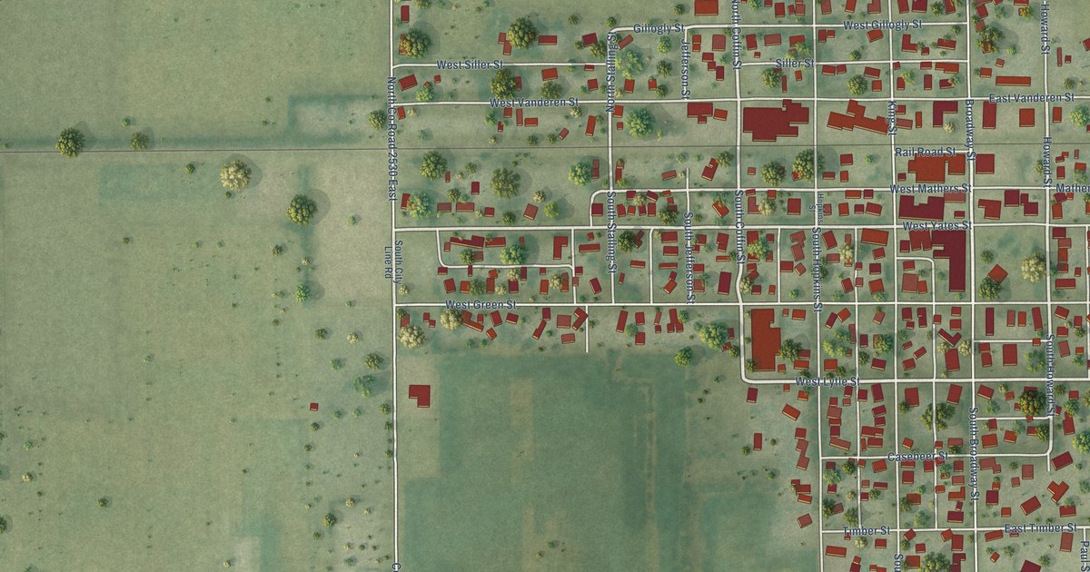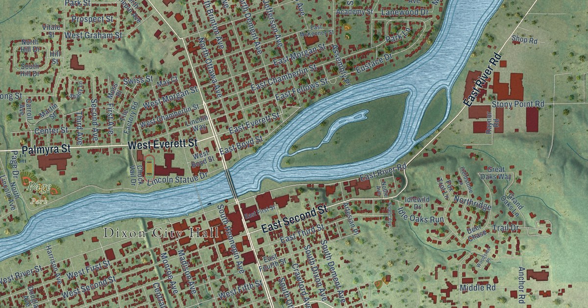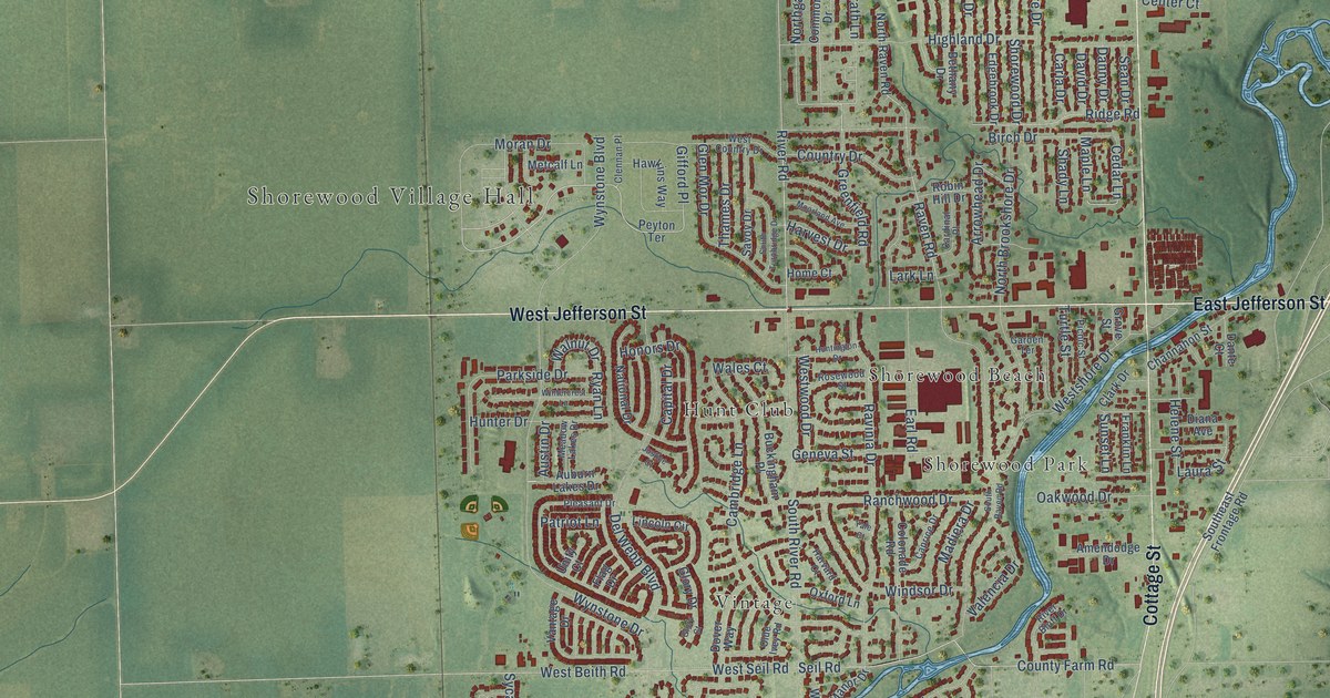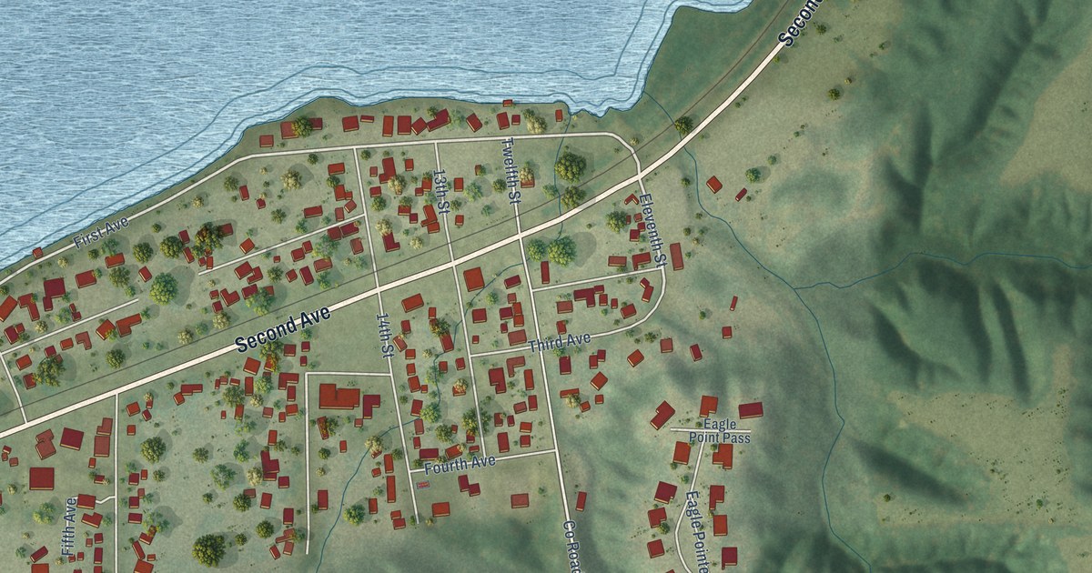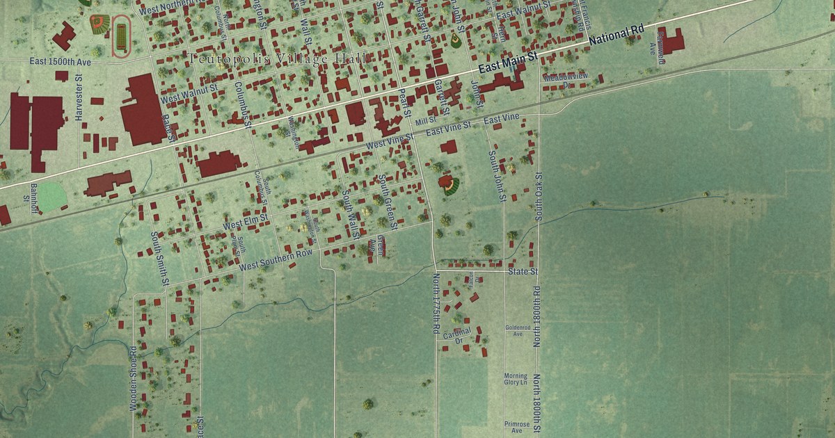
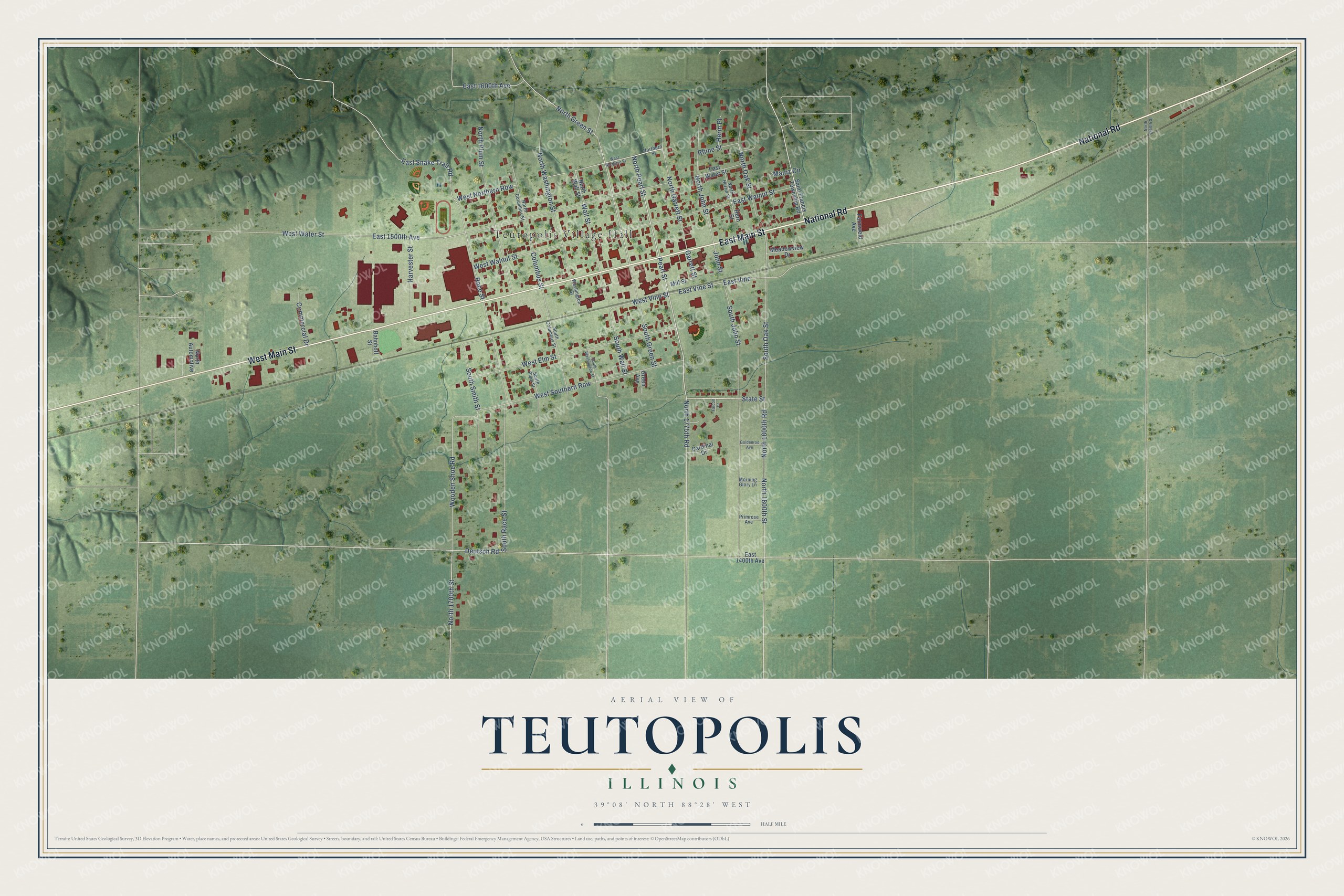
This beautifully detailed map of Teutopolis, Illinois was created in 2026 using aerial imagery combined with modern topographical, census, street and landmark data. It’s a one-of-a-kind view of Teutopolis that combines accurate data with a vintage aesthetic. The map shows every building in its true location, many of the roads carry their names, and the shaded topographic relief shows the shape of the land.
Explore an aerial view of Teutopolis, Illinois
On the map you’ll find Teutopolis Village Hall, West Northern Row, and East Vine, along with East Main Street, National Road, West Main Street, Pearl Street, North Pearl Street, State Street, North 1700th Street, East Vine Street, Wooden Shoe Road, and more. If you look closely you can even find your house accurately drawn in its correct location. Zoom in on the preview to look for yours.
Did you know this piece of Teutopolis, Illinois history?
Teutopolis means City of the Teutons, or Germans. German Catholics living in Cincinnati formed a land company in 1837 to find a new home. Their scouts ruled out Missouri because it allowed slavery. In 1839 the company bought 10,000 acres in Effingham County and laid out the town.
Take a closer look at the Teutopolis map
Street and place names on the Teutopolis, Illinois map
These names are printed on the map of Teutopolis, Illinois.
Places: Teutopolis Village Hall.
Streets and roads: East Main Street, National Road, West Main Street, Pearl Street, North Pearl Street, State Street, West Northern Row, North 1700th Street, East Vine Street, East Vine, Wooden Shoe Road, West Vine Street.
More street names, A to Z
Bahnhoff Street, Cardinal Drive, Columbus Street, Commercial Drive, Deutsch Road, East 1400th Avenue, East 1500th Avenue, East 1600th Avenue, East Snake Trail Road, East Walnut Street, East Water Street, Falcon Drive, Farmweld Avenue, Garrett Street, Goldenrod Avenue, Green Avenue, Harvester Street, Herin Place, Hern Street, John Street, Mainz Circle, Meadowview Drive, Mill Street, Morning Glory Lane, North 1775th Road, North 1800th Road, North 1800th Street, North 1950th Street, North Automotive, North Columbus Street, Northern Street, North Garrett Street, North Green Street, North Herrin Street, North John Street, North Oak Street, North Plum Street, North Wall Street, North Washington Street, Primrose Avenue, Race Street, Rhine Street, Saint Francis Township Road, South Columbus Street, South Green Street, South John Street, South Oak Street, South Plum Street, South Race Street, South Smith Street, South Wall Street, South Washington Street, Wall Street, Washington Street, West Elm Street, West Northern Street, West Southern Row, West Walnut Street, West Water Street.
See the Teutopolis, Illinois map on a wall
The Teutopolis map as an 18 x 24 inch print in a black frame.

This beautifully detailed map of Teutopolis makes an attractive addition to your office, library, or den, and it can even be used to teach children the geography and history of the area. It also makes a great gift for someone who left Teutopolis and still calls it home. When you’re done exploring, click here to get your copy of the Teutopolis map.