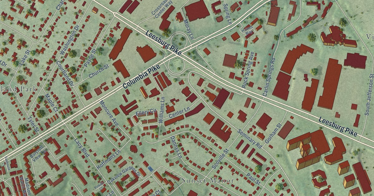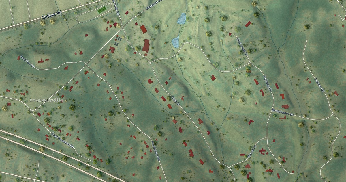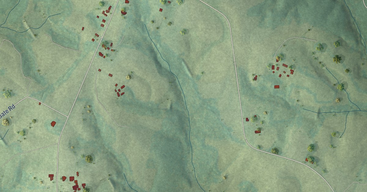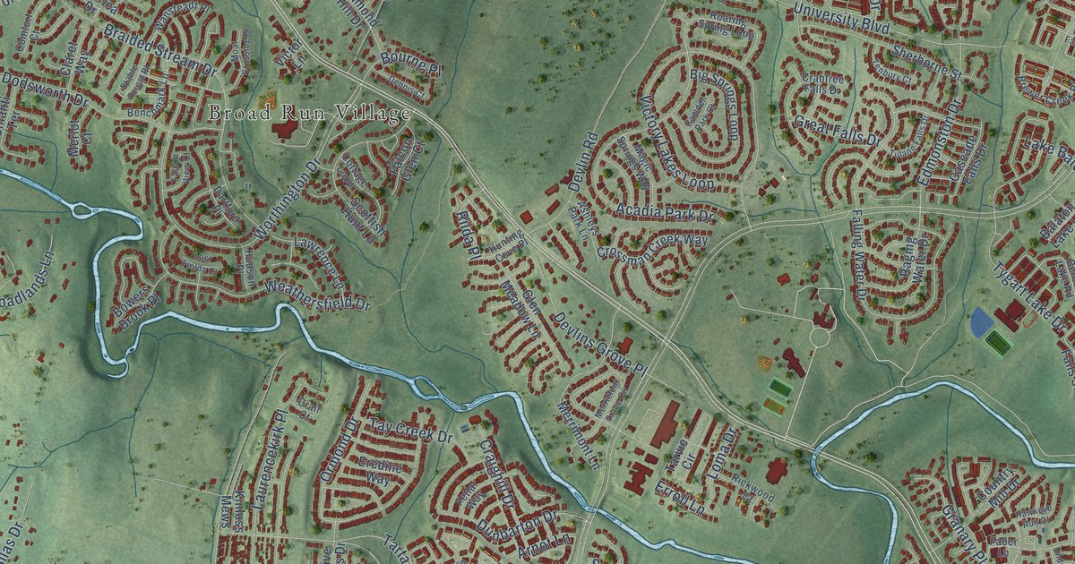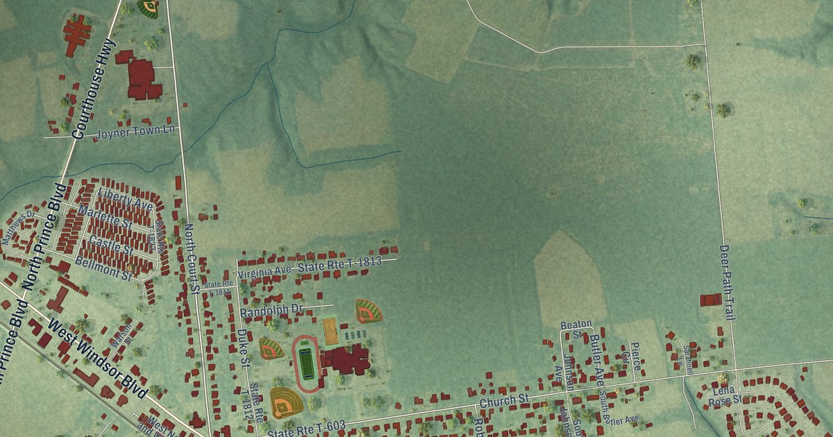
This beautifully detailed map of Windsor, Virginia was created in 2026 using aerial imagery combined with modern topographical, census, street and landmark data. It’s a one-of-a-kind view of Windsor that combines accurate data with a vintage aesthetic. The map shows every building in its true location, many of the roads carry their names, and the shaded topographic relief shows the shape of the land.
Explore an aerial view of Windsor, Virginia
On the map you’ll find State Rte T-610 and State Rte T-603, along with West Windsor Boulevard, East Windsor Boulevard, North Prince Boulevard, South Prince Boulevard, Windsor Boulevard, Courthouse Highway, Walters Highway, North Court Street, Church Street, Liberty Avenue, and more. If you look closely you can even find your house accurately drawn in its correct location. Zoom in on the preview to look for yours.
Did you know this piece of Windsor, Virginia history?
From the Town of Windsor: "The Town's name was officially shortened to Windsor when it was incorporated in 1902."
Take a closer look at the Windsor map
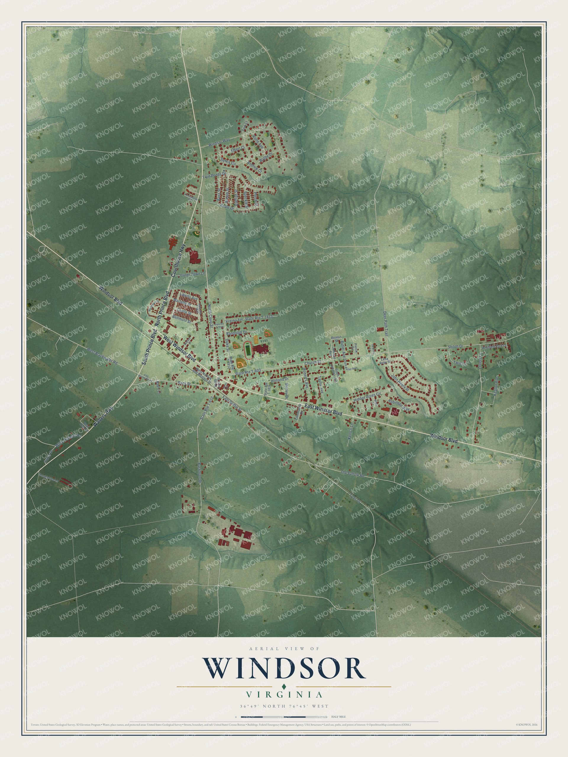
Street names on the Windsor, Virginia map
These names are printed on the map of Windsor, Virginia.
Streets and roads: West Windsor Boulevard, East Windsor Boulevard, North Prince Boulevard, South Prince Boulevard, Windsor Boulevard, Courthouse Highway, Walters Highway, North Court Street, State Route T-610, State Route T-603, Church Street, Liberty Avenue.
More street names, A to Z
Albert Court, Andrew Court, Bank Street, Bass Street, Beale Drive, Bear Trap Circle, Beaton Street, Bellmont Street, Bream Street, Buckhorn Drive, Butler Avenue, Castle Street, Catfish Street, Community Drive, Curve Drive, Deer Path Trail, Doubletree Lane, Duke Street, East Blackwater Road, East Griffin Street, Hidden Acres Circle, Holland Drive, John Henry Street, Johnson Avenue, Joyner Avenue, Joyner Town Lane, Keaton Avenue, Kello's Lane, Kensington Court, Lena Rose Street, Lovers Lane, Maple Lane, Marlette Street, Matthews Drive, Old Suffolk Road, Perch Street, Pierce Circle, Randolph Drive, Roberts Avenue, Robinson Way, Rolfe Avenue, Sarahnell Lane, Shiloh Drive, Shirley Drive, South Butler Avenue, South Court Street, South Johnson Avenue, Speckle Street, State Route T-1811, State Route T-1812, State Route T-1813, State Route T-1814, State Route T-1822, Sylvia Circle, Taylor Avenue, Twin Circle, Twin Ponds Drive, Tyler Drive, Virginia Avenue, Watson Street, West Blackwater Road, West Norfolk and Western Street, Whitfield Park Lane, Willie Roberts Road, Willis Court, Windsor Way, Wythe Drive, York Court.
See the Windsor, Virginia map on a wall
The Windsor map as an 18 x 24 inch print in a black frame.

This beautifully detailed map of Windsor makes an attractive addition to your office, library, or den, and it can even be used to teach children the geography and history of the area. It also makes a great gift for someone who left Windsor and still calls it home. When you’re done exploring, click here to get your copy of the Windsor map.