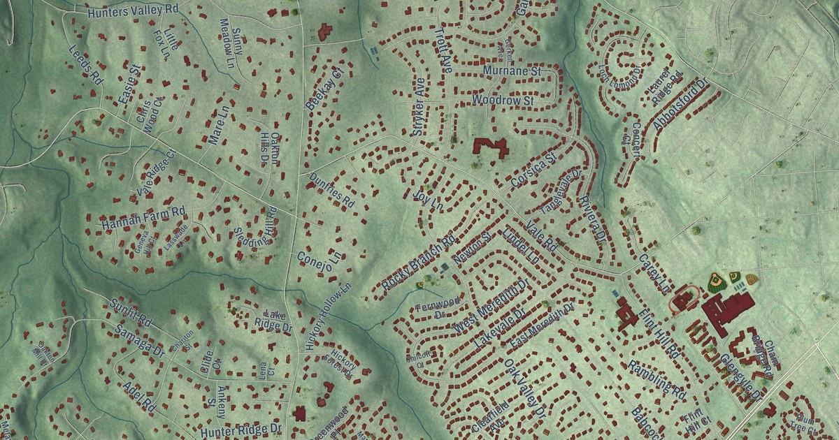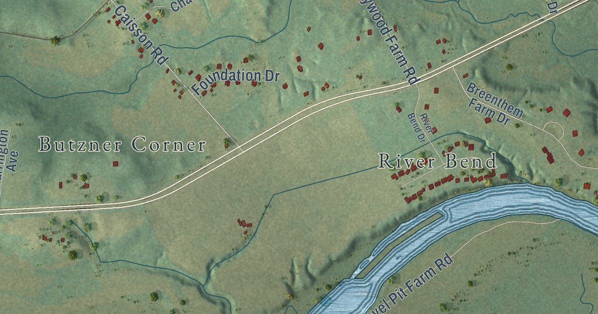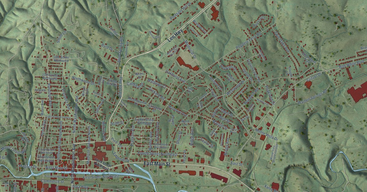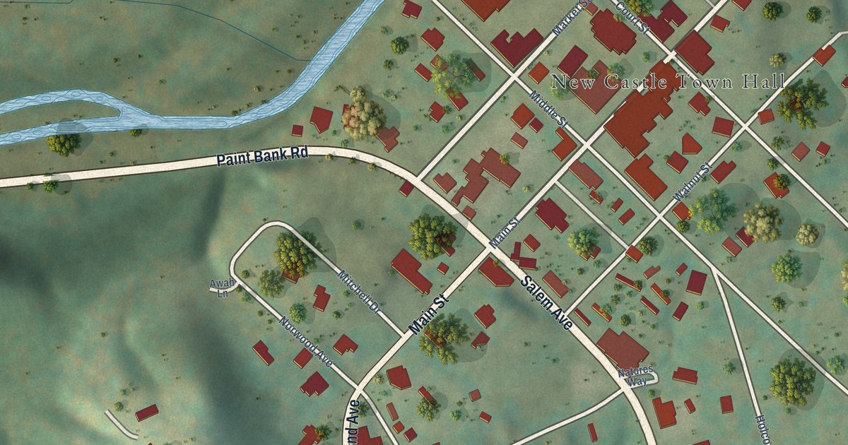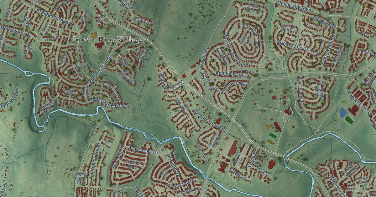
This beautifully detailed map of Linton Hall, Virginia was created in 2026 using aerial imagery combined with modern topographical, census, street and landmark data. It’s a one-of-a-kind view of Linton Hall that combines accurate data with a vintage aesthetic. The map shows every building in its true location, many of the roads carry their names, and the shaded topographic relief shows the shape of the land.
Explore an aerial view of Linton Hall, Virginia
On the map you’ll find Rocky Run, Cedar Knolls, Twin Oaks, Bristow, and Broad Run Village, along with Vint Hill Road, Nokesville Road, Wellington Road, Lake Baldwin Drive, Linton Hall Road, Sudley Manor Drive, Braemar Parkway, and more. If you look closely you can even find your house accurately drawn in its correct location. Zoom in on the preview to look for yours.
Did you know this about Linton Hall, Virginia?
From the Virginia Historical Marker Program: "On the afternoon of 14 October, Maj. Gen. Gouverneur K. Warren's II Corps, Meade's rear guard, took a strong defensive position along the railroad embankment to meet an impetuous attack by elements of Hill's corps from the northwest."
Take a closer look at the Linton Hall map
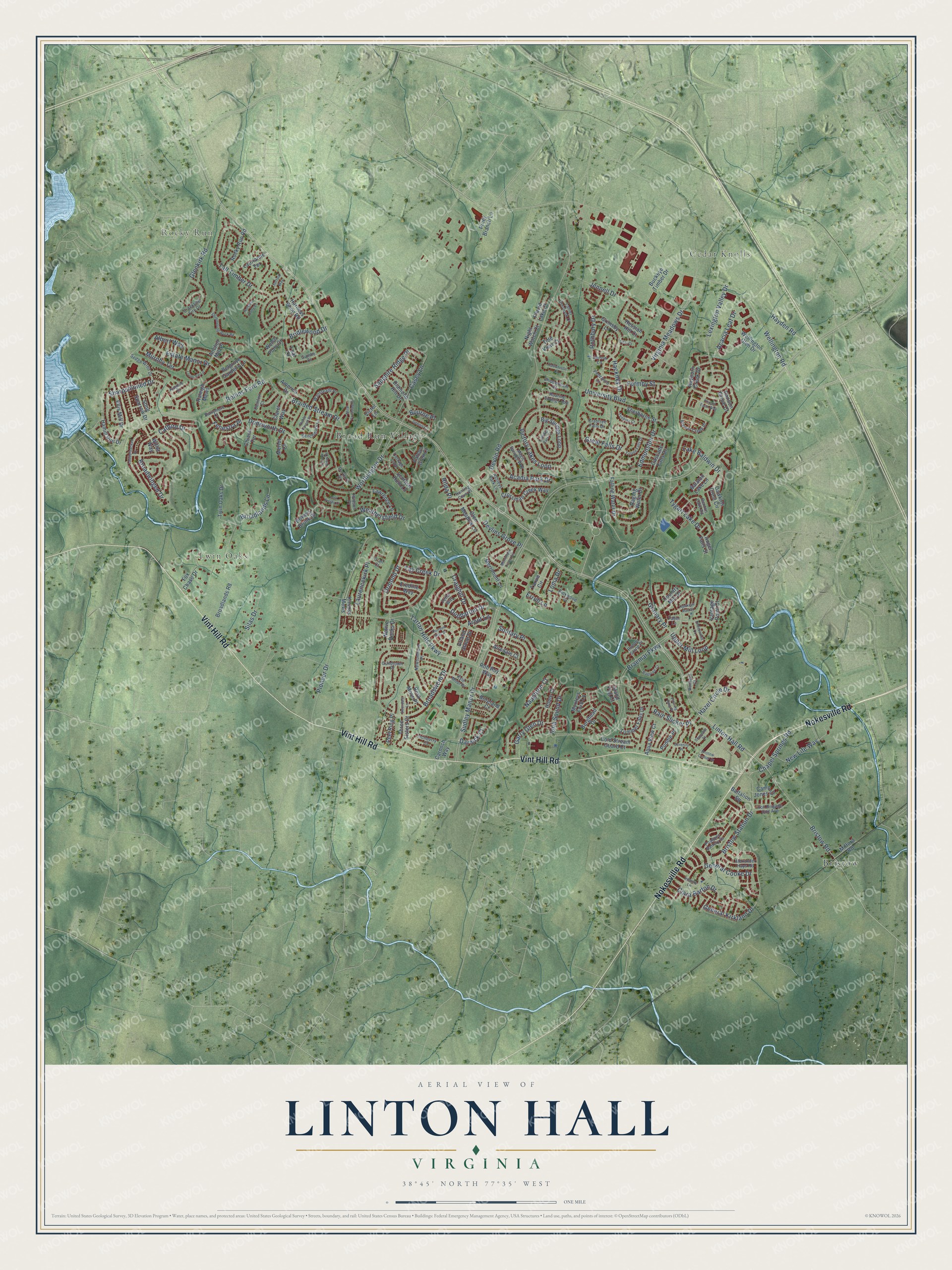
Street and place names on the Linton Hall, Virginia map
These names are printed on the map of Linton Hall, Virginia.
Places: Rocky Run, Cedar Knolls, Twin Oaks, Bristow and Broad Run Village.
Streets and roads: Vint Hill Road, Nokesville Road, Wellington Road, Lake Baldwin Drive, Linton Hall Road, Sudley Manor Drive, Braemar Parkway, Devlin Road, Rollins Ford Road, Glenkirk Road, Worthington Drive, Tartan Hills Parkway.
More street names, A to Z
Acacia Leaf Drive, Acadia Park Drive, Airedale Court, Albert Way, Alexander Hays Road, America Drive, Anchor Mill Place, Angel Falls Street, Aqua View Court, Arnot Lane, Ashleys Park Lane, Bagpipe Court, Balaton Lake Lane, Barrymore Court, Battalion Square, Belgrove Gardens Lane, Benchmark Lane, Benton Lake Road, Big Springs Loop, Boreland Court, Bourne Place, Bowers Brook Place, Braided Stream Drive, Brewer Creek Place, Bridlewood Drive, Bristow Center Drive, Bristow Road, Bristow Station Drive, Broadlands Lane, Broadlands Road, Broadsword Drive, Broadwinged Drive, Buckeye Timber Drive, Burghead Drive, Camden Park Court, Camp Jones Court, Carnoch Way, Cascade Falls Drive, Casey Lane, Catbird Drive, Chapel Springs Road, Chianti Terrace, Chippenham Court, Clara Barton Drive, Claret Way, Cold Stream Guard Court, Comfort Court, Correen Hills Drive, Cottage Loop, Country Mill Drive, Crabtree Falls Drive, Crackling Fire Drive, Craighill Drive, Crail Court, Crossman Creek Way, Darnick Court, Dartford Place, Dawkins Crest Circle, Deal Court, Dennis Court, Devlins Grove Place, Diamond Hill Drive, Dodsworth Drive, Dunbarton Drive, Edmonston Drive, Ellis Mill Drive, Eredine Way, Erroll Lane, Estate Manor Drive, Faber Lane, Falcon Glen Court, Falcon View Court, Falling Water Drive, Fenestra Place, Fetlar Way, Foal Court, Formby Street, Fox Chase Drive, Garry Glen Drive, General Cooke Drive, General Kirkland Drive, Glen Meadow Lane, Granary Place, Great Falls Drive, Grimsby Lane, Guildtown Place, Gumbo Court, Hackney Drive, Haltwhistle Court, Hamill Run Drive, Hanson Grove Court, Harness Shop Road, Hawkeye Run Court, Hayden Road, Hazel Circle Drive, Hessian Hill Court, Holstein Pony Court, Hudson Place, Hume Court, Hunting Cove Place, Inchberry Court, Infantry Lane, Iona Sound Drive, Iron Brigade Unit Avenue, Island Fog Court, Jarrow Lane, Jennell Drive, Kingbird Court, Kinloss Mews, Kyle Moor Place, Ladderbacked Drive, Lanier Overlook Court, Laurencekirk Place, Laurianne Terrace, Lawrence Lane, Lexington Valley Drive, Loma Drive, Lords Vw Lp, Lost Fields Court, Magic Springs Way, Merlot Court, Merrimont Lane, Merrimont Trace Circle, Milford Road, Moat Crossing Place, Moxleys Ford Lane, Murphy Terrace, Native Rocks Drive, Naughton Court, New Life Way, Newtonmore Place, Night Watch Court, Orland Stone Drive, Ormond Drive, Peel Ring Place, Penzance Lane, Phipps Farm Way, Piney Branch Lane, Pioneer Drive, Placid Lake Court, Poagues Battery Drive, Pouring Rain Place, Puddle Place, Raging Water Drive, Rainleaf Court, Rain Slicker Place, Raleigh Mews, Rayborn Creek Drive, Rickwood Court, Rilda Place, Roaring Spring Loop, Rob Roy Way, Rocky Run Road, Rora Moss Place, Rothbury Drive, Runner Stone Place, Sapphire Ridge Place, Scottish Hunt Lane, Sedge Wren Drive, Serenity Place, Sharpshinned Drive, Sherborne Street, Shimmering Rock Road, Silas Drive, Snapshot Court, Solitary Place, Song Sparrow Drive, Stable Forest Place, Suffolk Way, Swordale Lane, Tall Timber Drive, Tarvie Circle, Tay Creek Drive, Tenbury Court, Three Sisters Court, Tide View Court, Tulane Falls Drive, Tummel Falls Drive, Twin Oaks Drive, Tygart Lake Drive, Underwood Court, University Boulevard, Upper Mill Loop, Vantage Point Court, Victor Lane, Victory Lakes Loop, Virginia Meadows Drive, Wansteadt Place, Weathersfield Drive, Wellington Glen Drive, Welsh Pony Court, Willet Way.
See the Linton Hall, Virginia map on a wall
The Linton Hall map as an 18 x 24 inch print in a black frame.

This beautifully detailed map of Linton Hall makes an attractive addition to your office, library, or den, and it can even be used to teach children the geography and history of the area. It also makes a great gift for someone who left Linton Hall and still calls it home. When you’re done exploring, click here to get your copy of the Linton Hall map.