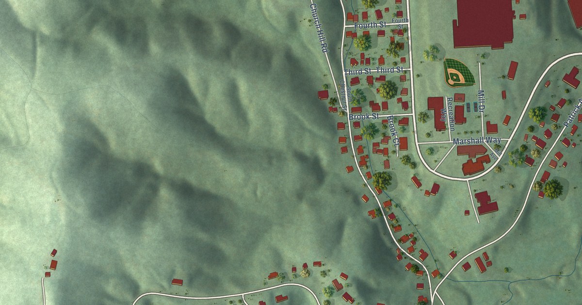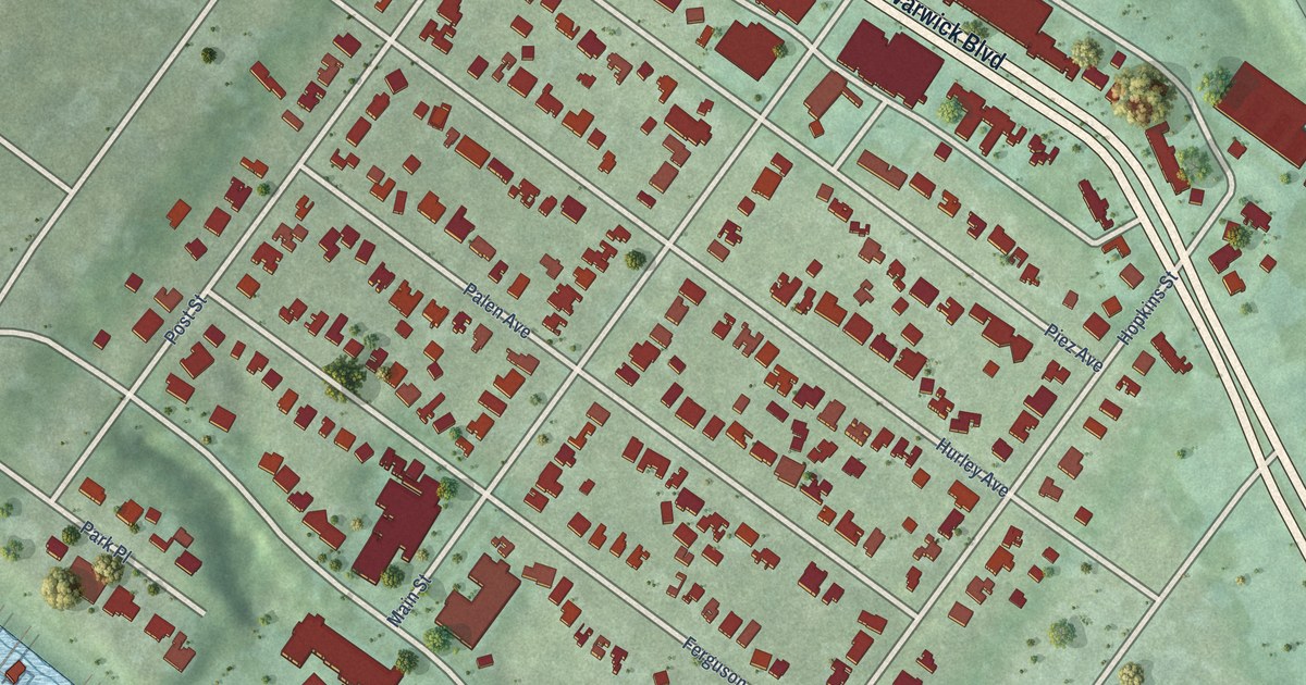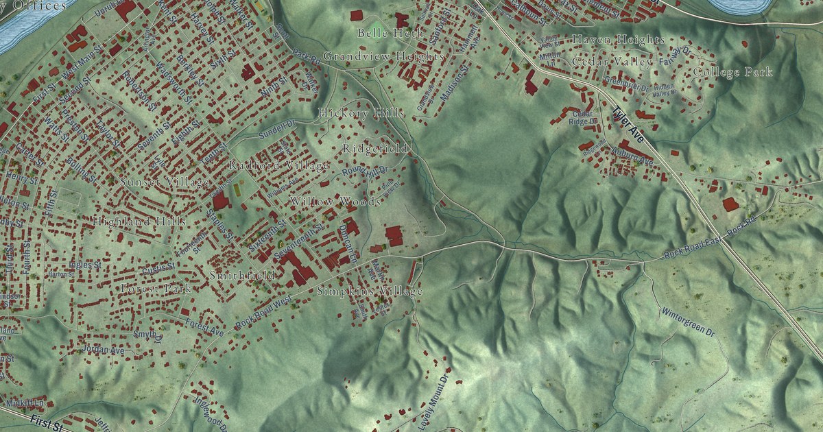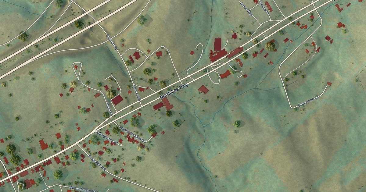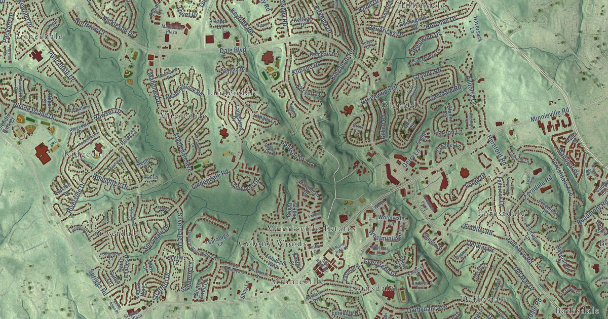
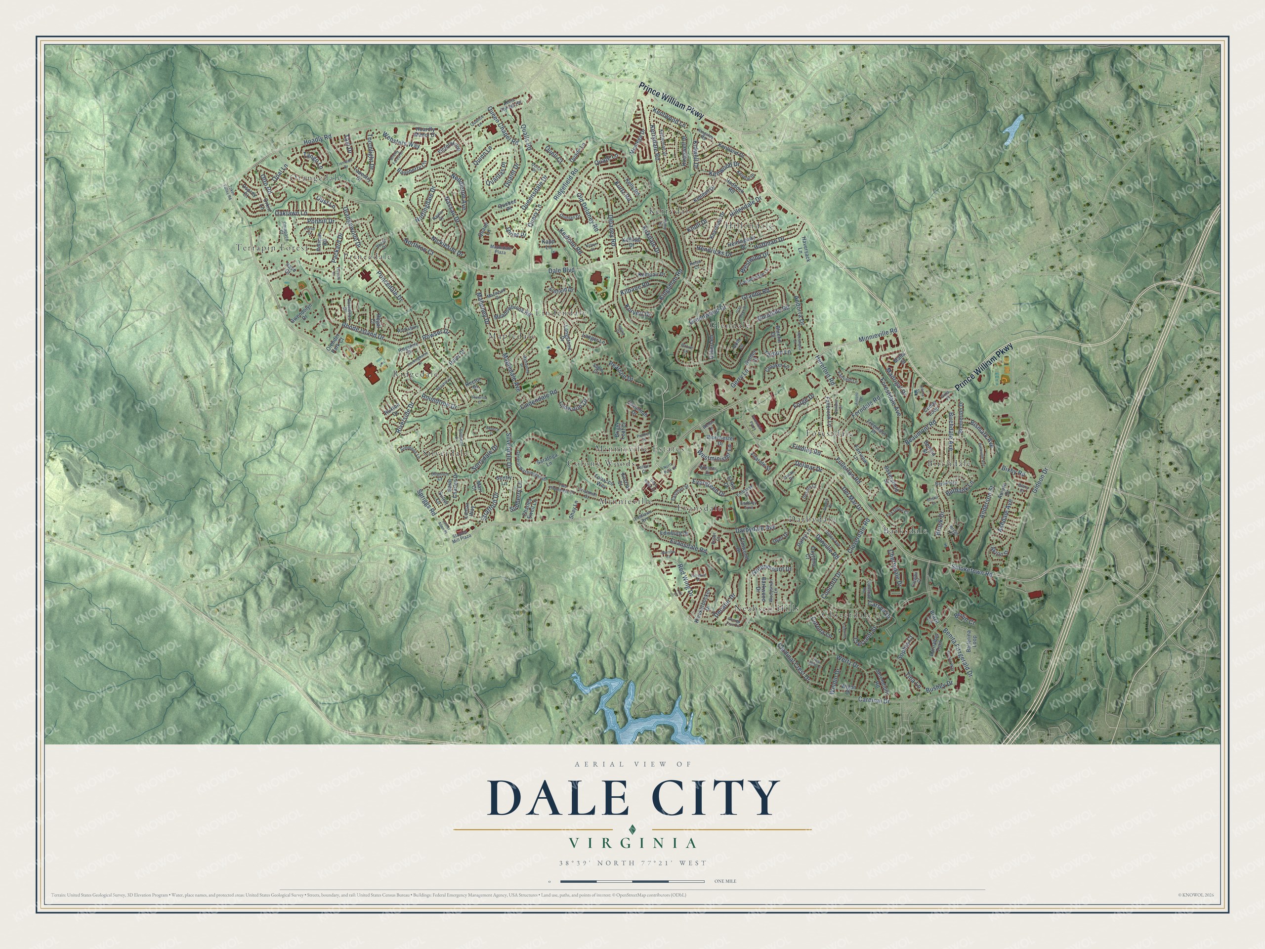
This beautifully detailed map of Dale City, Virginia was created in 2026 using aerial imagery combined with modern topographical, census, street and landmark data. It’s a one-of-a-kind view of Dale City that combines accurate data with a vintage aesthetic. The map shows every building in its true location, many of the roads carry their names, and the shaded topographic relief shows the shape of the land.
Explore an aerial view of Dale City, Virginia
On the map you’ll find Barksdale, Birchdale, Cloverdale, Colony Woods, Darbydale, Evansdale, Forestdale, Glendale, Hillendale, Kerrydale, Lindendale, Mapledale, and more. If you look closely you can even find your house accurately drawn in its correct location. Zoom in on the preview to look for yours.
Did you know this piece of Dale City, Virginia history?
From the Virginia Historical Marker Program: "The Neabsco Mills Ironworks complex, under the ownership of three generations of the Tayloe family, of Richmond County, operated between 1737 and 1828."
Take a closer look at the Dale City map
Street and place names on the Dale City, Virginia map
These names are printed on the map of Dale City, Virginia.
Places: Barksdale, Birchdale, Cloverdale, Colony Woods, Darbydale, Evansdale, Forestdale, Glendale, Hillendale, Kerrydale, Lindendale, Mapledale, Minnieville, Minnieville Estates, Neabsco Hills, Orangedale, Princedale, Ridgedale, Silverdale and Terrapin Forest.
Streets and roads: Prince William Parkway, Minnieville Road, Smoketown Road, Delaney Road, Darbydale Avenue, Ridgefield Road, Gideon Drive, Dale Boulevard, Cardinal Drive, Spriggs Road, Forestdale Avenue, Hoadly Road.
More street names, A to Z
Aetna Springs Road, Akron Street, Anderson Street, Andorra Drive, Ashdale Avenue, Aurora Drive, Bakersfield Street, Ballerina Loop, Baneberry Circle, Barkwood Drive, Barnabas Trail, Bayfield Drive, Beaumont Road, Belleville Avenue, Benita Fitzgerald Drive, Benton Street, Berlin Court, Birchdale Avenue, Bismark Avenue, Bixby Road, Bluefin Drive, Brazil Circle, Bremerton Drive, Brierly Forest Court, Bright Leaf Court, Bristol Court, Bronco Way, Brook Drive, Bryan Court, Burbank Lane, Bushey Drive, Calexico Lane, Carapace Court, Cardinal Crest Drive, Carlsbad Road, Carson Drive, Castlebridge Lane, Catalpa Court, Charles Ewell Lane, Cherrydale Drive, Cloverdale Road, Concord Drive, Corona Lane, Crescent Street, Croaker Lane, Cuddy Loop, Daley Lane, Dane Ridge Circle, Danville Road, Daytona Court, Decatur Drive, Delano Drive, Del Mar Drive, Delmar Drive, Desoto Court, Dillon Avenue, Duran Drive, Dyer Drive, Eastlawn Avenue, Eastman Street, Edinburg Drive, Elmwood Drive, El Rio Court, Embassy Drive, Endsley Turn, Ensor Court, Evansdale Road, Evergreen Drive, Fairfield Lane, Fairview Lane, Fallbrook Lane, Ferndale Road, Filarete Street, Findley Road, Fontana Court, Forestdale Plaza, Forge Drive, Fox Glove Court, Freemont Place, Fresno Drive, Frishman Court, Fullerton Road, General Washington Drive, George Frye Circle, Gerry Lane, Gilbert Road, Gina Place, Glendale Road, Glory Court, Golden Court, Granby Road, Gran Deur Drive, Greenmount Drive, Greenwood Drive, Grove Lane, Gum Lane, Gwendolyn Drive, Haddock Road, Haversack Lane, Hemingway Drive, Hendricks Drive, Hereford Road, Hillendale Drive, Hoardly Manor Drive, Hoffman Drive, Hydrangea Court, Kapp Lane, Kellogg Drive, Kelly Road, Kelso Court, Kempair Drive, Kendall Drive, Kenmar Drive, Kenny Road, Kentland Drive, Kentwood Lane, Kenwood Drive, Kerrydale Road, Kestral Court, Ketterman Drive, Keystone Drive, Keytone Road, Kidwell Drive, Kilbane Road, Kingsley Road, Kingsman Road, Kingswell Drive, Kirkdale Drive, Kirwyn Court, Knickerbocker Drive, Knoll Drive, Korvett Drive, Kurtz Road, Langer Lane, Langstone Drive, Lindendale Road, Linfield Drive, Lomax Way, Lupino Court, Luther Allen Place, Lutz Court, Lynwood Drive, Macwood Drive, Madrigal Drive, Mahoney Drive, Malta Street, Mapledale Avenue, Mapledale Plaza, Marr Court, Mattapony Drive, Meadowbrook Road, Montega Drive, Nassau Drive, Naylor Court, Neddleton Avenue, Nickleson Drive, North Park Court, Northton Court, Nottingdale Drive, Oaklawn Lane, Old Delaney Road, Olender Park Court, Opal Lane, Orangewood Drive, Orkin Lane, Osprey Court, Otto Road, Oust Lane, Pace Court, Packard Drive, Pearson Drive, Pelican Road, Persian Court, Photo Drive, Ponhill Drive, Portal Court, Prather Place, Princedale Drive, Quade Lane, Quaint Drive, Qualls Road, Quance Lane, Quann Lane, Quantas Place, Quate Lane, Quebec Place, Queen Chapel Road, Queensdale Drive, Quell Court, Query Lane, Quick Place, Quiet Place, Quinlan Drive, Quinn Lane, Reardon Lane, Rector Drive, Red Bird Lane, Red Wing Drive, Regal Court, Rhode Island Drive, Ridgedale Drive, Riverside Drive, Riverton Court, Rockinghorse Drive, Rocksbury Lane, Rosewood Drive, Roundtree Drive, Rowser Drive, Ruler Court, Ruxton Drive, Sable Court, Saint Charles Drive, Saratoga Lane, Savannah Drive, Seneca Court, Sentry Lane, Serendipity Road, Shannon Court, Shay Lane, Silverdale Drive, Simmons Lane, Sonora Street, Sophia Court, Southgate Court, Sparrow Court, Staples Mill Plaza, Stratford Drive, Sudberry Lane, Surrydale Drive, Sutter Lane, Tango Lane, Tapestry Drive, Tarpon Lane, Taxi Drive, Telfair Court, Tina Lane, Tobacco Way, Token Valley Road, Torchlight Drive, Torrence Place, Trentdale Drive, Two Chimneys Court, Victory Loop, Websters Way, Weldin Drive, Welsh Lane, Wertz Drive, Westminister Lane, Westwind Drive, Whitmer Drive, Wigan Drive, Woodsman Lane, Worchester Drive.
See the Dale City, Virginia map on a wall
The Dale City map as an 18 x 24 inch print in a black frame.

This beautifully detailed map of Dale City makes an attractive addition to your office, library, or den, and it can even be used to teach children the geography and history of the area. It also makes a great gift for anyone who grew up in Dale City or moved away. When you’re done exploring, click here to get your copy of the Dale City map.