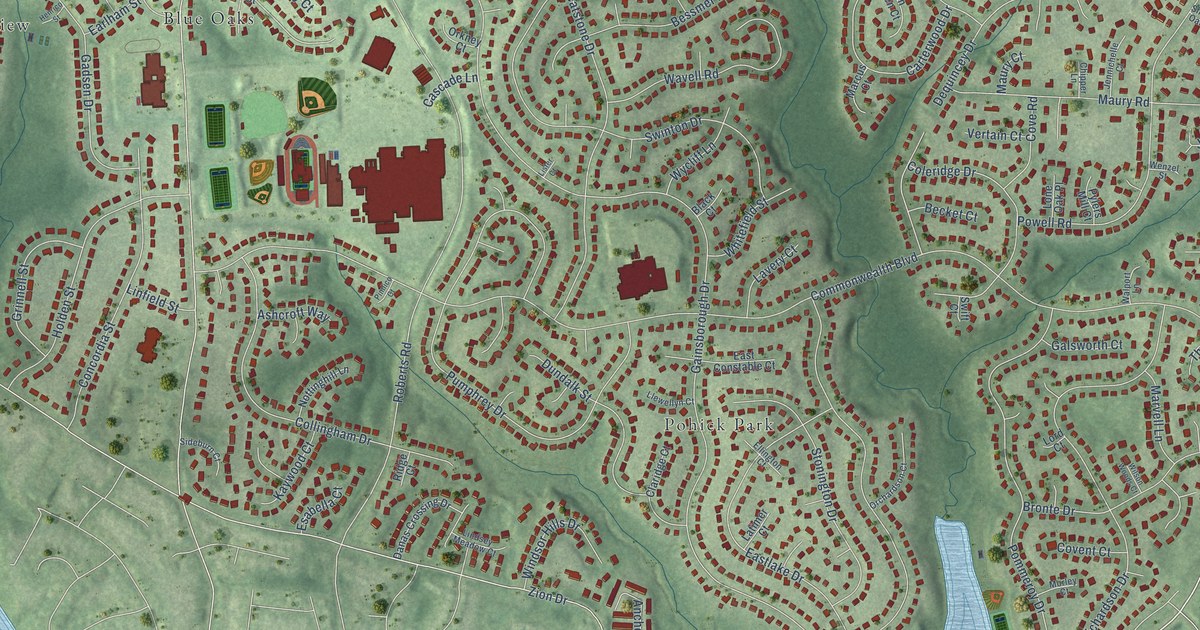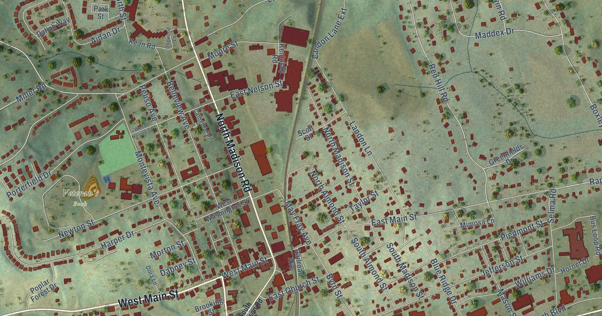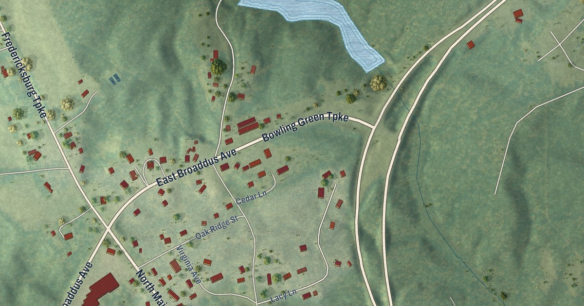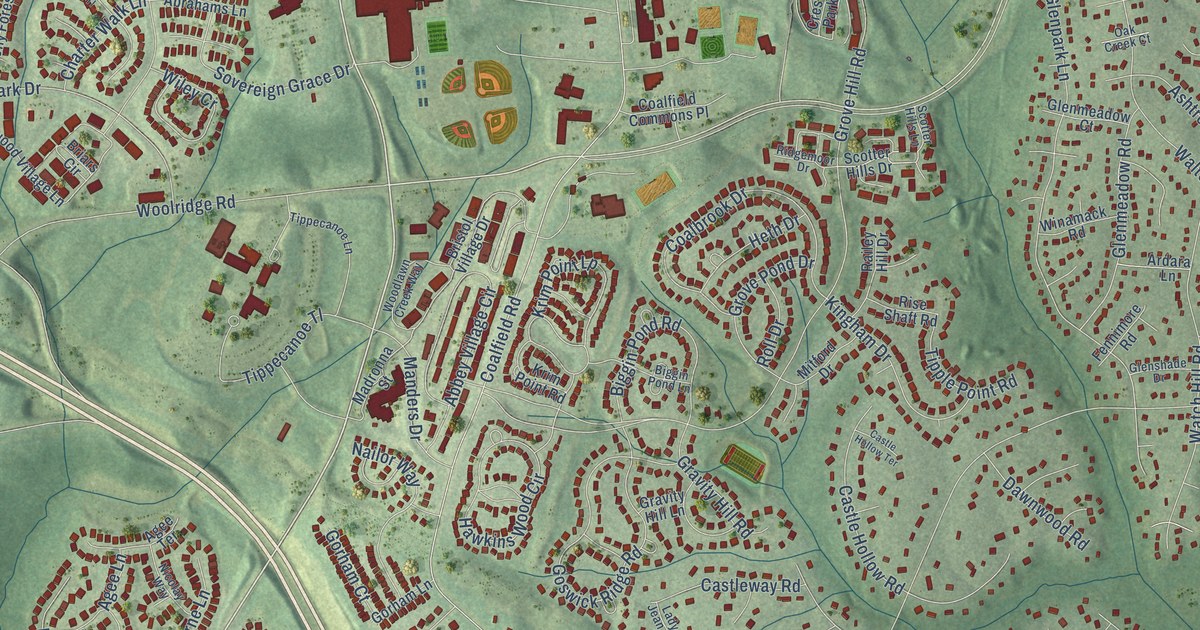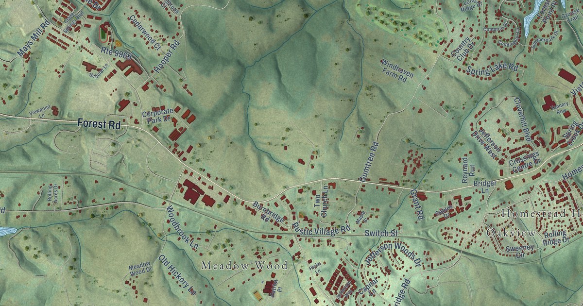
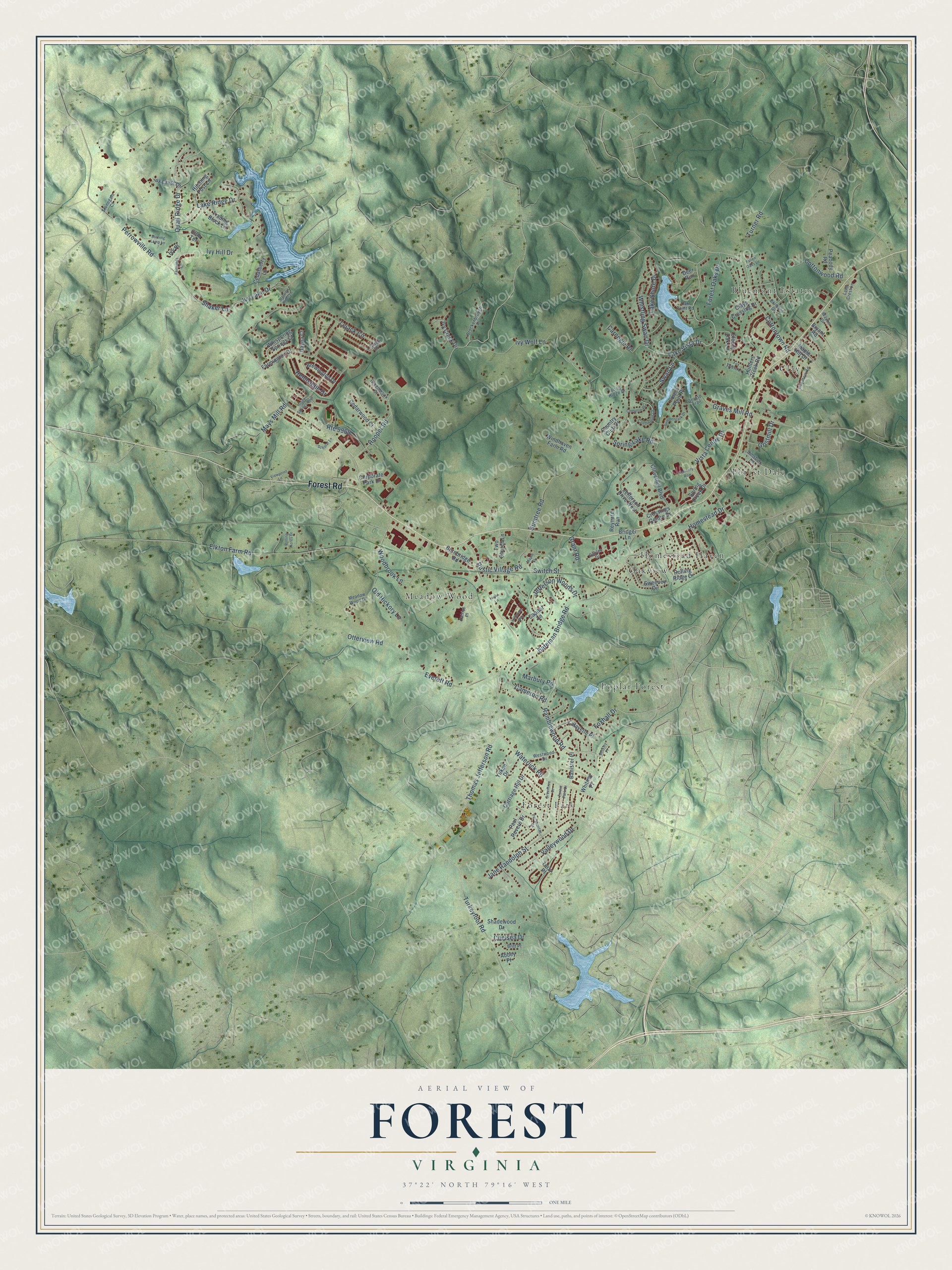
This beautifully detailed map of Forest, Virginia was created in 2026 using aerial imagery combined with modern topographical, census, street and landmark data. It's a modern aerial view of Forest in Bedford County, Virginia, that combines modern data with a vintage aesthetic. The roads feature printed names, and if you look closely you can find your exact house accurately shown in its correct location.
Explore an aerial view of Forest, Virginia
On this map you'll find Bluemont Estates, Clay, Forest Dale, Forest Park, Homestead Haven, Meadow Wood, Oakview, Poplar Forest, Forest Road, Lake Vista Drive, Ramblewood Road, Waterlick Road, and more. Each red shape is a building, so zoom in on the preview and look for yours.
Forest has a story worth telling. The record at vcris.dhr.virginia.gov puts it this way: "In 1806 free and enslaved craftsmen began constructing an octagonal house and ornamental landscape designed by Jefferson."
Forest is a community in Bedford County. The Census Bureau counted 11,709 people here in 2020.
Take a closer look at the Forest map
Names on this map
These names are printed on this map.
Places: Bluemont Estates, Clay, Forest Dale, Forest Park, Homestead Haven, Meadow Wood, Oakview and Poplar Forest.
Streets and roads: Forest Road, Lake Vista Drive, Ramblewood Road, Waterlick Road, Perrowville Road, Thomas Jefferson Road, Hooper Road, Gumtree Road, Elkton Farm Road, Bateman Bridge Road, Cottontown Road, Turkeyfoot Road.
More street names, A to Z
Abbey Place, Banister Place, Berkley Place, Blumont Drive, Brewington Drive, Bridger Lane, Britt Place, Brockenbrough Place, Bryant Road, Burnbridge Road, Burning Lamp Lane, Cameron Road, Capital Lane, Carnegie Place, Carriage Hill Drive, Cedarberry Lane, Cedarwood Court, Chelsea Drive, Clays Crossing Drive, Cloverhill Boulevard, Club Terrace, Compton Place, Corporate Park Drive, Cottonwood Road, Country Club Drive, Crossings Centre Drive, Cuddington Lane, Dayna Court, Deer Run, Everett Road, Fairwinds Court, Fallen Oaks Lane, Farmington Drive, Forest Oaks Drive, Forest Park Drive, Forest Point Place, Fox Chase Lane, Foxhall Drive, Gables Drive, Glade Springs Boulevard, Grant Road, Graves Mill Road, Greenbrook Court, Greentree Drive, Gristmill Drive, Grouse Trail, Helmsdale Drive, Hicks Lane, Hitching Post Lane, Homestead Drive, Hunters Creek Road, Ivy Creek Drive, Ivy Crest Lane, Ivy Hill Drive, Ivy Lake Drive, Ivy Place, Ivy Wolf Lane, Jane Randolph Street, Jefferson Drive West, Jefferson Way, Jefferson Woods Drive, Lafayette Place, Lake Crest Lane, Lake Ridge Drive, Lake Shore Drive, Leander Drive, Lejack Circle, Long Ridge Drive, Maple Hill Drive, Maple Street, Marbury Road, Mays Mill Road, Meadow Wood Drive, Oak Point Road, Old Hickory Lane, Otterview Road, Patriot Place, Paul Revere Drive, Peabody Road, Pocahontas Drive, Quail Ridge Drive, Reynard Run, Rolling Acres Drive, Rolling Ridge Drive, Route 9969, Rustic Village Road, Scholar Lane, Shadewood Drive, Shaker Lane, Simsbury Lane, Sleepy Oak Lane, Spring Creek Drive, Spring Lake Road, Starview Knoll Lane, Stonegate Court, Summerpark Drive, Swan Lane, Sweeney Circle, Switch Street, Tannery Row, Terry Place, Trading Block Lane, Turner Road, Two Church Lane, Valleywood Drive, Viewpoint Lane, Vista Centre Drive, Wayne Drive, Westwood Drive, Whispering Springs Court, Whistling Swan Drive, Whitney Place, Windhaven Farm Road, Woodberry Lane, Woodbrook Lane, Yukon Drive.
Created by KNOWOL in 2026. The buildings are small red shapes, the roads carry their printed names, and shaded relief shows the shape of the land. The title panel reads "AERIAL VIEW OF FOREST VIRGINIA".
It looks right in a kitchen, an office or a den, and it's a gift for anyone who grew up in Forest or moved away. Open the preview and find your street. See sizes and frames for the Forest map.