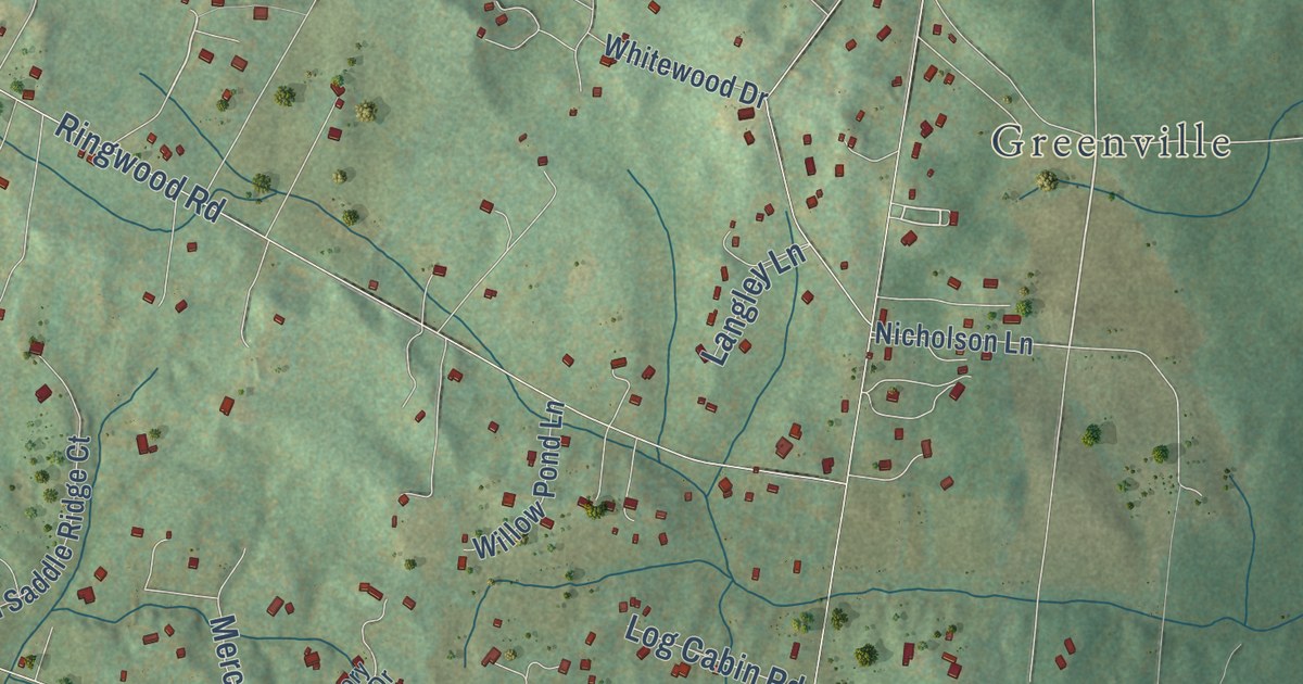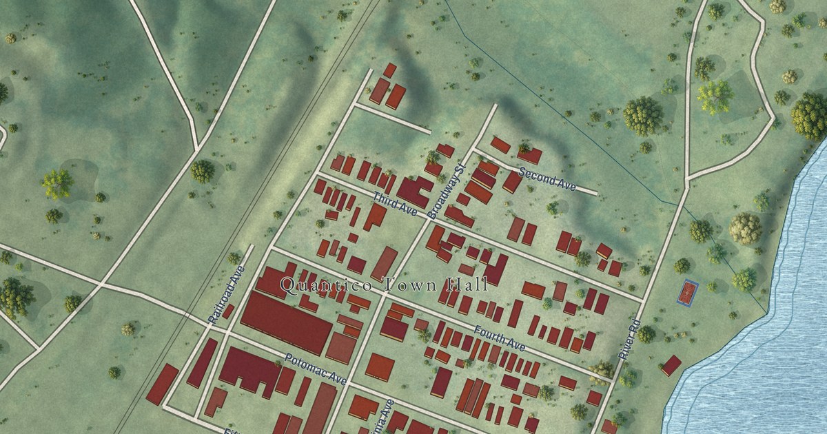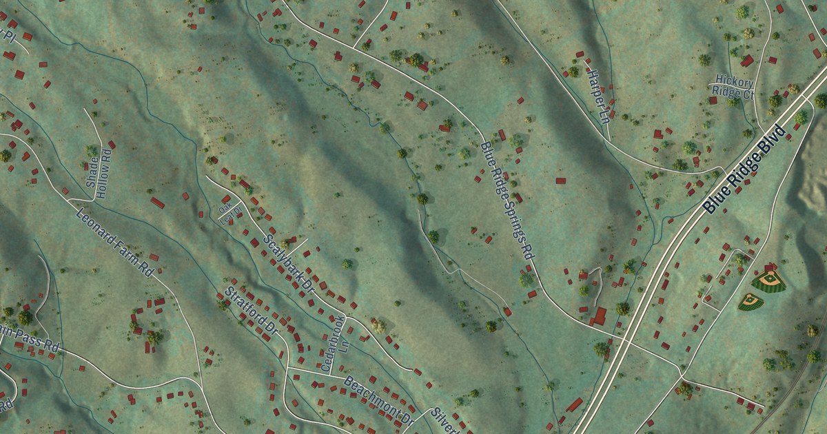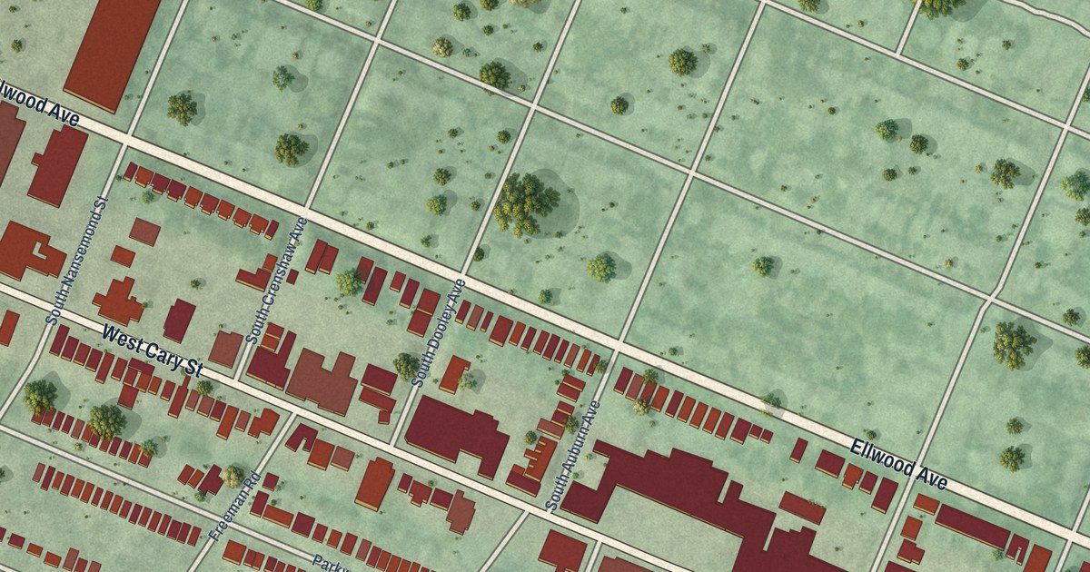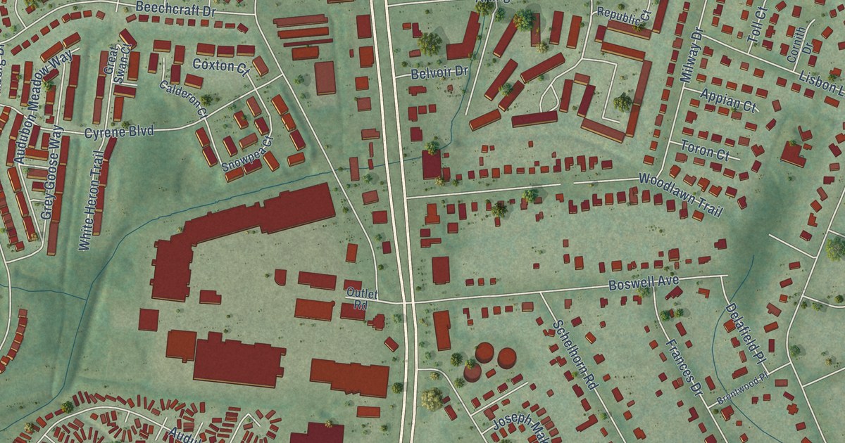
This beautifully detailed map of Hybla Valley, Virginia was created in 2026 using aerial imagery combined with modern topographical, census, street and landmark data. It’s a one-of-a-kind view of Hybla Valley that combines accurate data with a vintage aesthetic. The map shows every building in its true location, many of the roads carry their names, and the shaded topographic relief shows the shape of the land.
Explore an aerial view of Hybla Valley, Virginia
On the map you’ll find North Hill Park, Bucknell Heights, Gum Springs, and Woodley Hills, along with Richmond Highway, Windbreak Drive, Holland Road, Anker Street, Sherwood Hall Lane, Vernon Square Drive, Fordson Road, Audubon Avenue, and more. If you look closely you can even find your house accurately drawn in its correct location. Zoom in on the preview to look for yours.
Did you know this piece of Hybla Valley, Virginia history?
From Vcris.dhr.virginia.gov: "The Woodlawn area, formerly part of George Washington's Mount Vernon estate, was home to African Americans who had been free landowners before the Civil War, people recently emancipated from slavery, and northern Quakers who had arrived in the 1840s."
Take a closer look at the Hybla Valley map
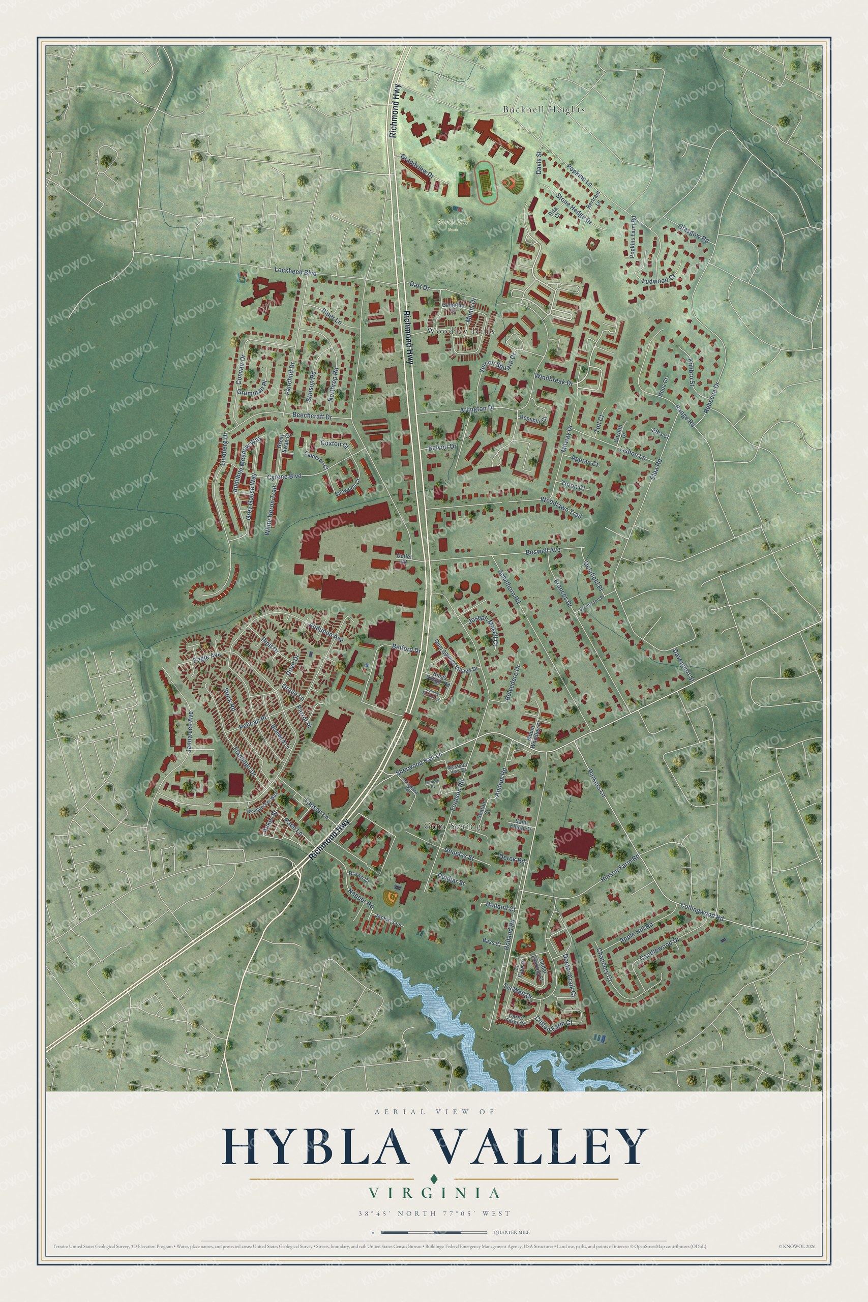
Street and place names on the Hybla Valley, Virginia map
These names are printed on the map of Hybla Valley, Virginia.
Places: North Hill Park, Bucknell Heights, Gum Springs and Woodley Hills.
Streets and roads: Richmond Highway, Windbreak Drive, Holland Road, Anker Street, Sherwood Hall Lane, Vernon Square Drive, Fordson Road, Audubon Avenue, Popkins Lane, Elba Road, Arlington Drive, Rebecca Drive.
More street names, A to Z
Andrus Road, Appian Court, Apple Hill Road, Audubon Meadow Way, Bass Court, Beechcraft Drive, Belford Drive, Belvedere Drive, Belvoir Drive, Bertram Lane, Bluebird Lane, Boswell Avenue, Brentwood Place, Brown Court, Calderon Court, Camellia Drive, Candlewood Drive, Carter Farm Court, Cedar Landing Court, Chancery Court, Clifton Farm Court, Collingwood Road, Colonial Springs Court, Convair Drive, Cornith Drive, Coxton Court, Cyrene Boulevard, Dart Drive, Davenport Street, Davis Street, Delafield Place, Derek Road, Doctor Craik Court, Douglas Street, Dove Drive, Dunbar Street, Eagle Avenue, Elba Court, Fairchild Drive, Flamingo Drive, Fordson Court, Frances Drive, Glasgow Road, Grandview Drive, Great Swan Court, Grey Goose Way, Grumman Place, Gum Springs Village Drive, Hinson Farm Road, Holland Court, Hopa Court, Jackie's Lane, Janna Lee Avenue, Joseph Makell Court, Kimbro Street, Kingland Road, Kings Village Road, Ladson Lane, La Faye Court, Lindberg Drive, Lisbon Lane, Lockheed Boulevard, Ludwood Court, Milway Drive, Mount Woodley Place, Mums Drive, Napper Road, Northrop Road, Oriole Lane, Outlet Road, Pace Lane, Parkers Lane, Parrot Place, Pelican Place, Piper Lane, Pipit Drive, Popkins Farm Road, Range Road, Republic Court, Rita Court, Saint Elliott Court, Schelhorn Road, Seaton Street, Snowpea Court, Stinson Road, Stone Hedge Drive, Stork Road, Tis Well Drive, Toll Court, Toron Court, Westford View Court, White Heron Trail, Woodlawn Trail, Woodpecker Way.
See the Hybla Valley, Virginia map on a wall
The Hybla Valley map as an 18 x 24 inch print in a black frame.

This beautifully detailed map of Hybla Valley makes an attractive addition to your office, library, or den, and it can even be used to teach children the geography and history of the area. It also makes a great gift for someone who left Hybla Valley and still calls it home. When you’re done exploring, click here to get your copy of the Hybla Valley map.