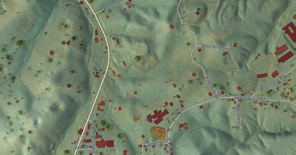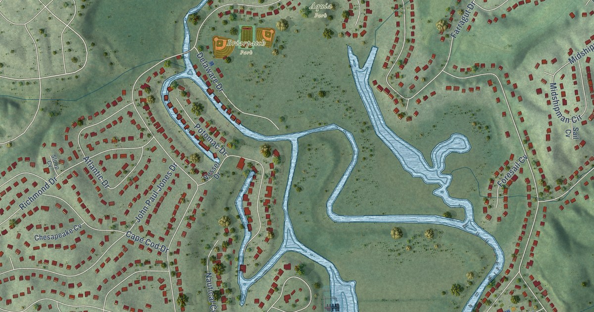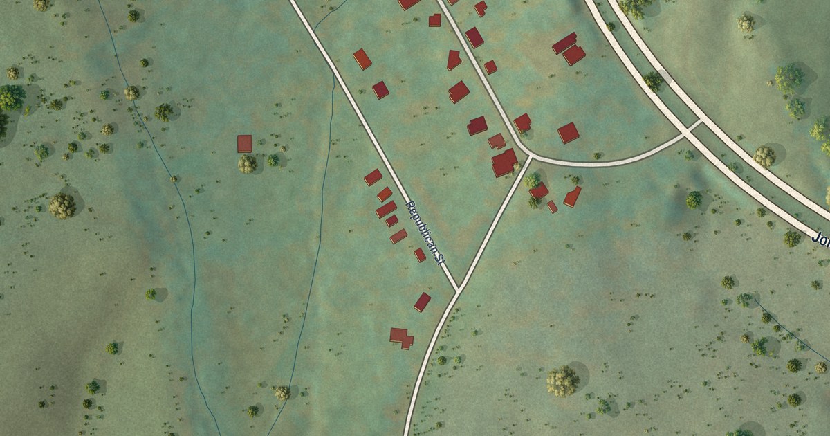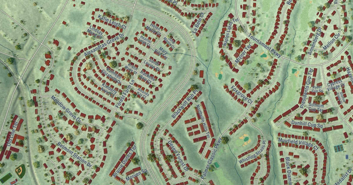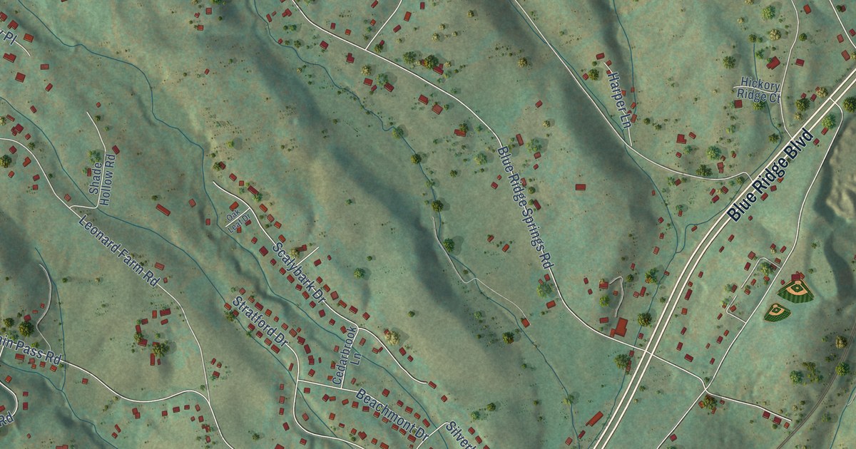
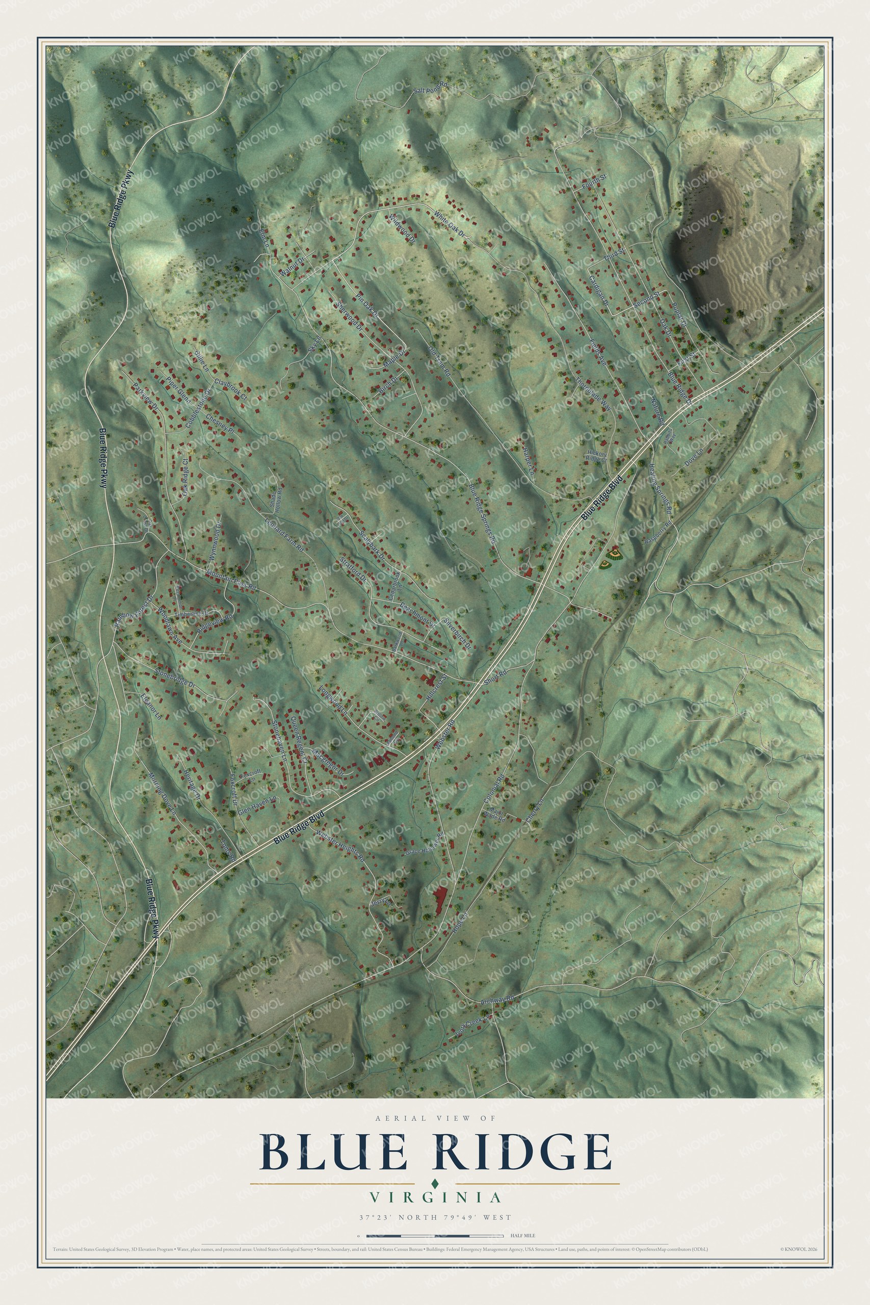
This beautifully detailed map of Blue Ridge, Virginia was created in 2026 using aerial imagery combined with modern topographical, census, street and landmark data. It's a modern aerial view of Blue Ridge in Botetourt County, Virginia, that combines modern data with a vintage aesthetic. The roads feature printed names, and if you look closely you can find your exact house accurately shown in its correct location.
Explore an aerial view of Blue Ridge, Virginia
On this map you'll find Blue Ridge Boulevard, Blue Ridge Parkway, White Oak Drive, Pin Oak Drive, Second Street, Cardigan Drive, Blue Ridge Springs Road, Colonial Road, Mountain Pass Road, Blue Ridge Drive, Webster Road, Thornblade Way, and more. Each red shape is a building, so zoom in on the preview and look for yours.
Blue Ridge is a community in Botetourt County. The Census Bureau counted 3,185 people here in 2020. Blue Ridge sits about 2 miles northeast of Laymantown, 4 miles southeast of Troutville and 5 miles east of Cloverdale. The map prints the town name in its title panel, with the coordinates below it.
Take a closer look at the Blue Ridge map
Names on this map
These names are printed on this map.
Streets and roads: Blue Ridge Boulevard, Blue Ridge Parkway, White Oak Drive, Pin Oak Drive, Second Street, Cardigan Drive, Blue Ridge Springs Road, Colonial Road, Mountain Pass Road, Blue Ridge Drive, Webster Road, Thornblade Way.
More street names, A to Z
Almond Circle, Archway Road, Barkwood Lane, Beachmont Drive, Birch Drive, Cedarbrook Lane, Cherry Lane, Chesney Place, Claybrook Court, Cobblestone Drive, Dove Lane, Eleanor Lane, Elm Lane, Fields Avenue, First Street, Fourth Street, Foxcroft Drive, Foxcroft Lane, Gillie Lane, Glen Haven Lane, Grace Hollower Road, Harper Lane, Healing Springs Road, Heritage Drive, Hickory Ridge Court, Hillcrest Street, Hope Lane, Ivory Creek Lane, Jerry Lane, Leonard Farm Road, Longwood Lane, Macgregor Drive, Major Wade Road, Maple Drive, Morning Dove Lane, Nature Road, Oak Crest Drive, Oak Drive, Oak Leaf Drive, Oak Ridge Court, Old Tram Road, Parkview Drive, Persimmon Court, Piper Glenn, Poplar Drive, Queen Regent Court, Rabbits Way, Rainbow Forest Drive, Raspberry Road, Ridgeview Road, Salt Pond Road, Scalybark Drive, Shade Hollow Road, Sherwood Drive, Short Road, Silverbirch Drive, Sky Lane, Stonebridge Drive, Stonehaven Lane, Stratford Drive, Third Street, Timberline Drive, Toms Road, Walnut Drive, Webster Heights Road, Wildwood Drive, Willow Circle, Woodlawn Avenue, Wynnwood Drive.
See it on a wall
The Blue Ridge map as a framed print. Swipe for more.


Created by KNOWOL in 2026. The buildings are small red shapes, the roads carry their printed names, and shaded relief shows the shape of the land. The title panel reads "AERIAL VIEW OF BLUE RIDGE, VIRGINIA" with 37°23' NORTH 79°49' WEST.
It suits a den, a classroom or a front hall, and it makes a gift for anyone with Blue Ridge roots. Open the preview and find the block you know. See sizes and frames for the Blue Ridge map.