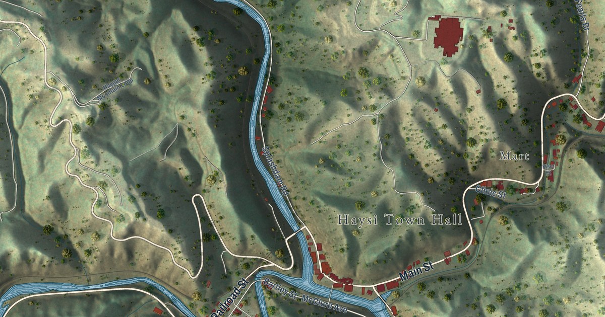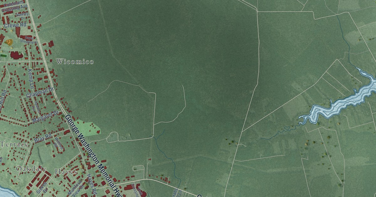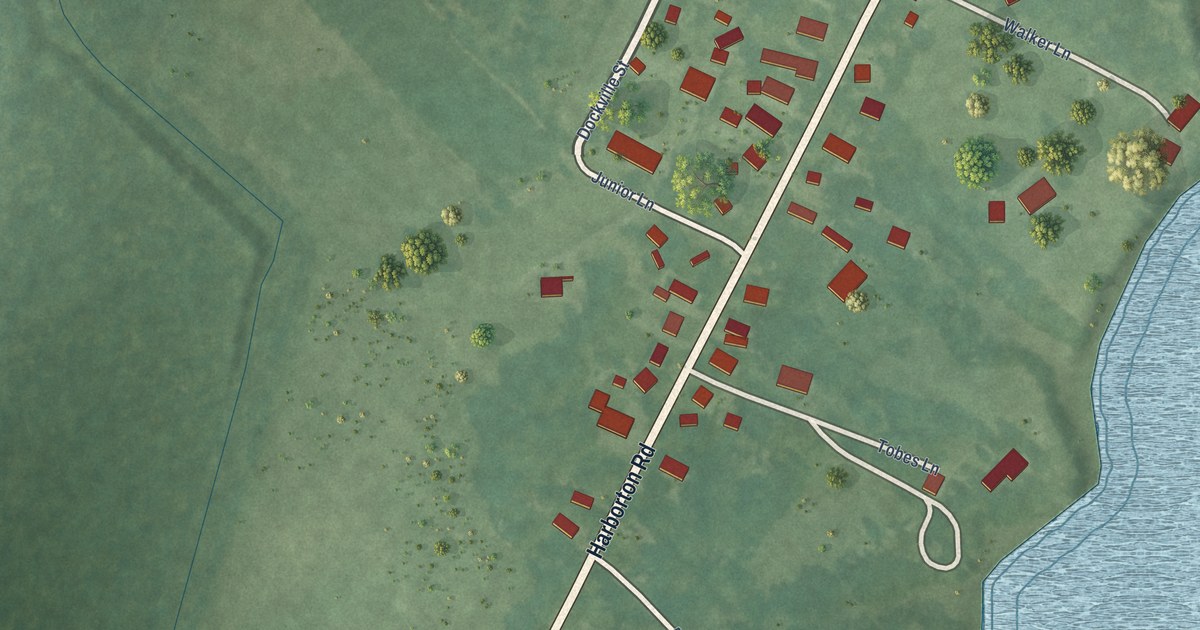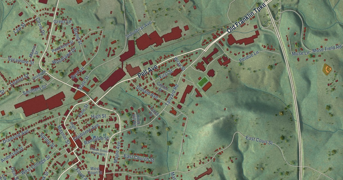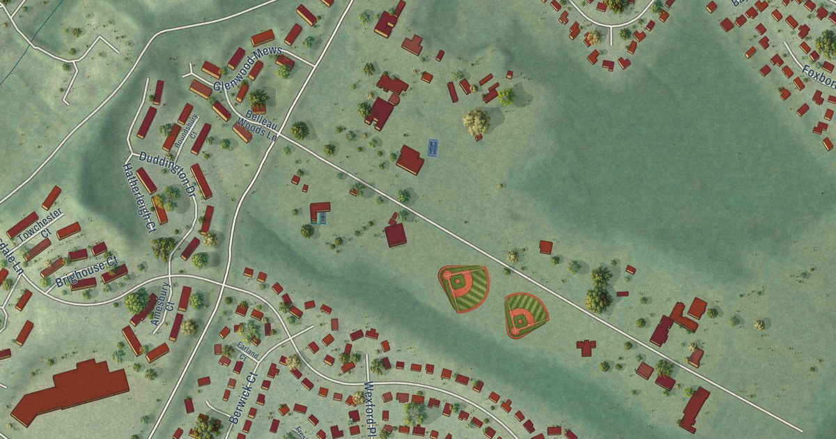
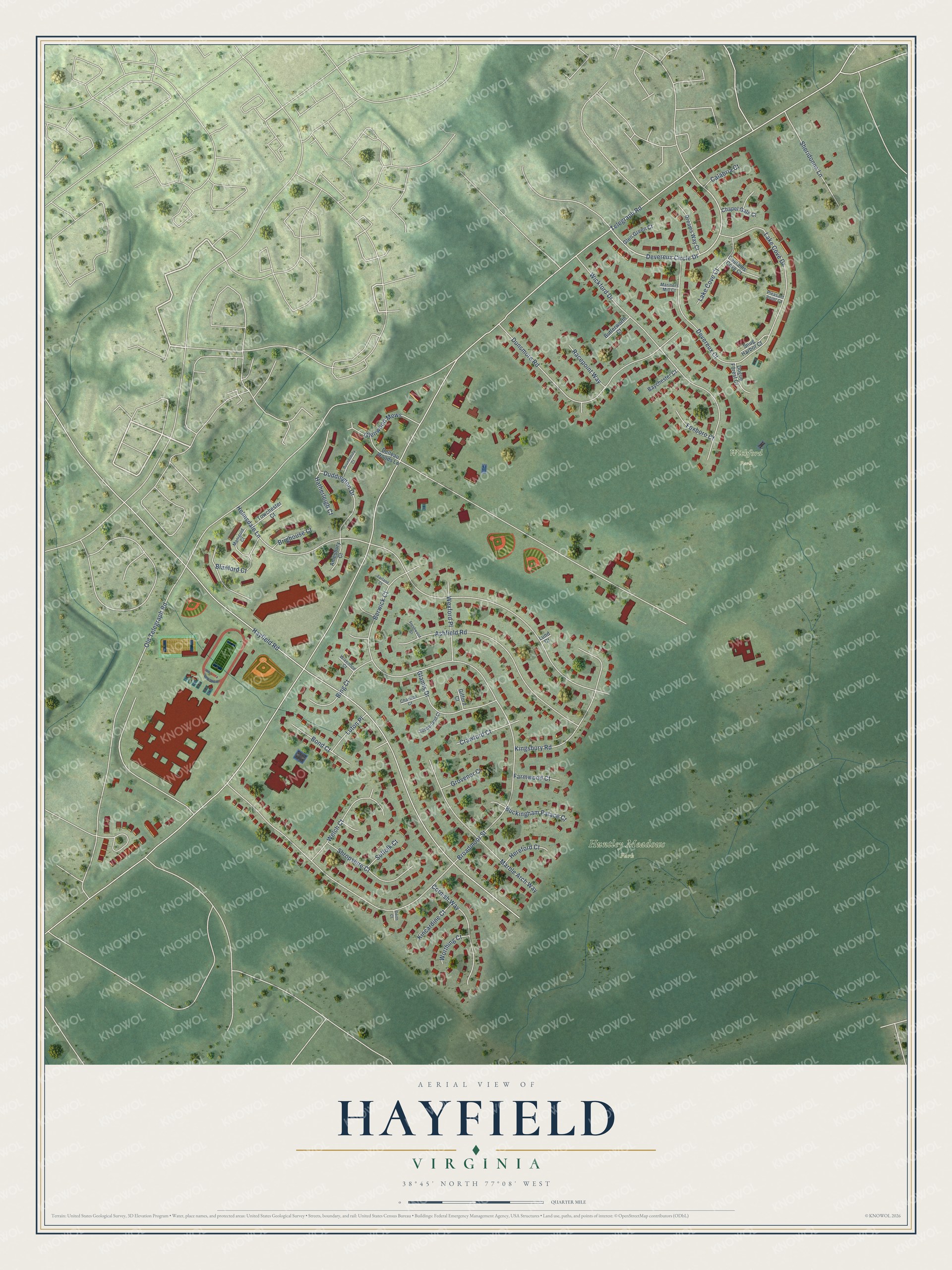
This beautifully detailed map of Hayfield, Virginia was created in 2026 using aerial imagery combined with modern topographical, census, street and landmark data. It's a modern aerial view of Hayfield in Fairfax County, Virginia, that combines modern data with a vintage aesthetic. The roads feature printed names, and if you look closely you can find your exact house accurately shown in its correct location.
Explore an aerial view of Hayfield, Virginia
On this map you'll find Huntley Meadows Park, Wickford Park, Devereux Circle Drive, Telegraph Road, Old Telegraph Road, Broadmoor Street, Hayfield Road, Helmsdale Lane, Wickford Drive, Dunsmore Road, Ashfield Road, Lake Cove Drive, and more. Each red shape is a building, so zoom in on the preview and look for yours.
Hayfield is a community in Fairfax County. The Census Bureau counted 4,154 people here in 2020. Hayfield sits about 2 miles northwest of Woodlawn, 2 miles southeast of Franconia and 3 miles southwest of Rose Hill. The map prints the town name in its title panel, with the coordinates below it.
Take a closer look at the Hayfield map
Names on this map
These names are printed on this map.
Places: Huntley Meadows Park and Wickford Park.
Streets and roads: Devereux Circle Drive, Telegraph Road, Old Telegraph Road, Broadmoor Street, Hayfield Road, Helmsdale Lane, Wickford Drive, Dunsmore Road, Ashfield Road, Lake Cove Drive, Marble Arch Way, Kingsbury Road.
More street names, A to Z
Amesbury Court, Baychester Court, Belleau Woods Lane, Berwick Court, Bing Court, Blanford Court, Bond Court, Brighouse Court, Buckingham Palace Court, Butterworth Court, Calabria Court, Captains Cove Court, Chapel Gate Court, Charlton Court, Cornish Way, Crawford Court, Derth Court, Devereux Court, Dogue Forest Court, Dreams Way Court, Duddington Drive, Farland Court, Farmwood Court, Foxboro Court, Freshwood Court, Gifford Court, Glamis Drive, Glen Green Court, Glenwood Mews, Grovenor Court, Hatherleigh Court, Hereford Court, Houndsbury Court, Kincardine Court, Lake Cove Court, Lund Court, Luton Place, Manigold Court, Mariners Mill Court, Pleasant Point Court, Racepoint Way, Sheridonna Lane, Shropshire Court, Snug Harbor Court, Suffolk Court, Sunderland Court, Towchester Court, Welch Court, Wexford Place, Wivenhoe Court, Worthing Court.
See it on a wall
The Hayfield map as a framed print. Swipe for more.


Created by KNOWOL in 2026. The buildings are small red shapes, the roads carry their printed names, and shaded relief shows the shape of the land. The title panel reads "AERIAL VIEW OF HAYFIELD, VIRGINIA" with 38°45' NORTH 77°08' WEST.
It suits a den, a classroom or a front hall, and it makes a gift for anyone with Hayfield roots. Open the preview and find the block you know. See sizes and frames for the Hayfield map.