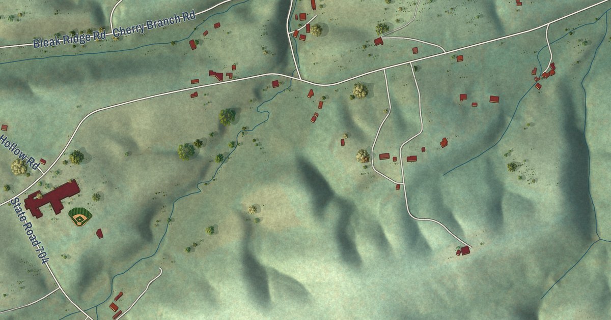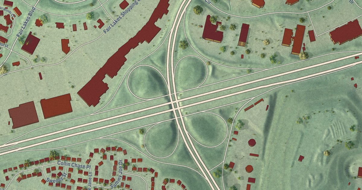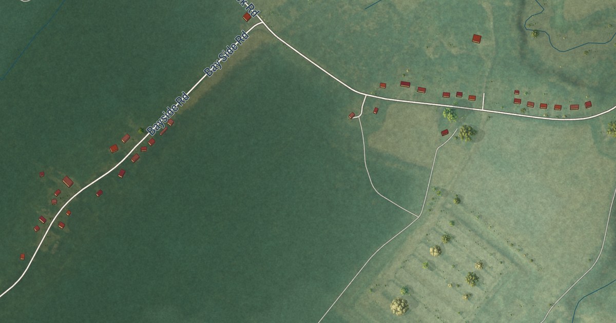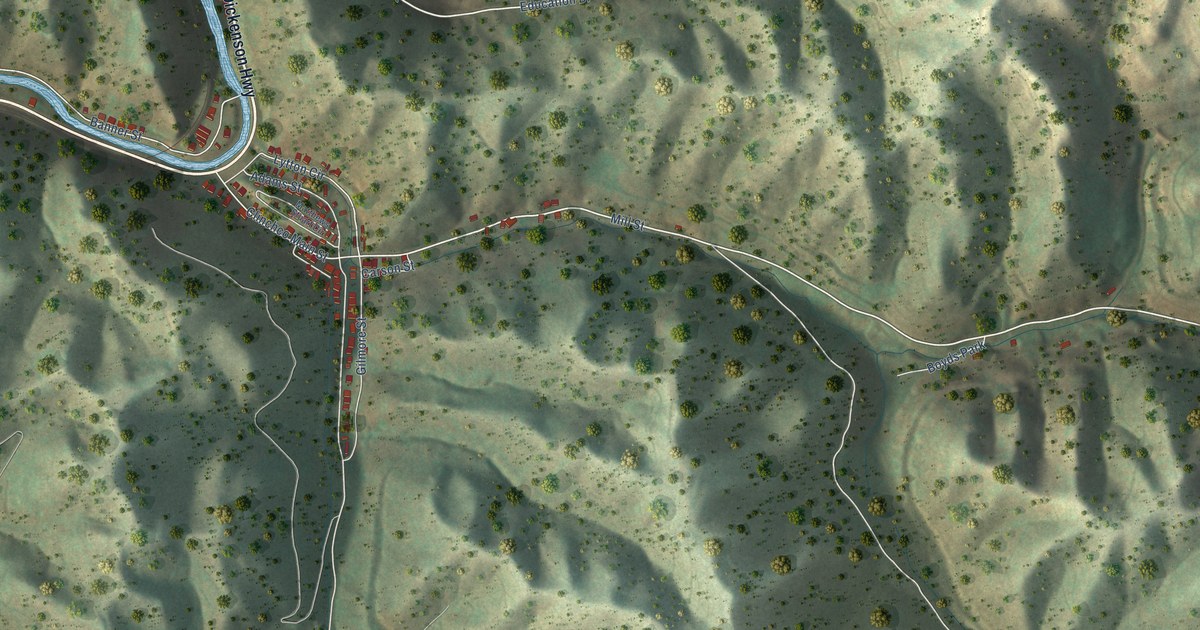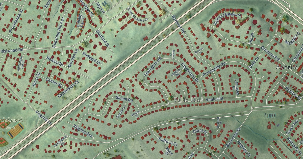
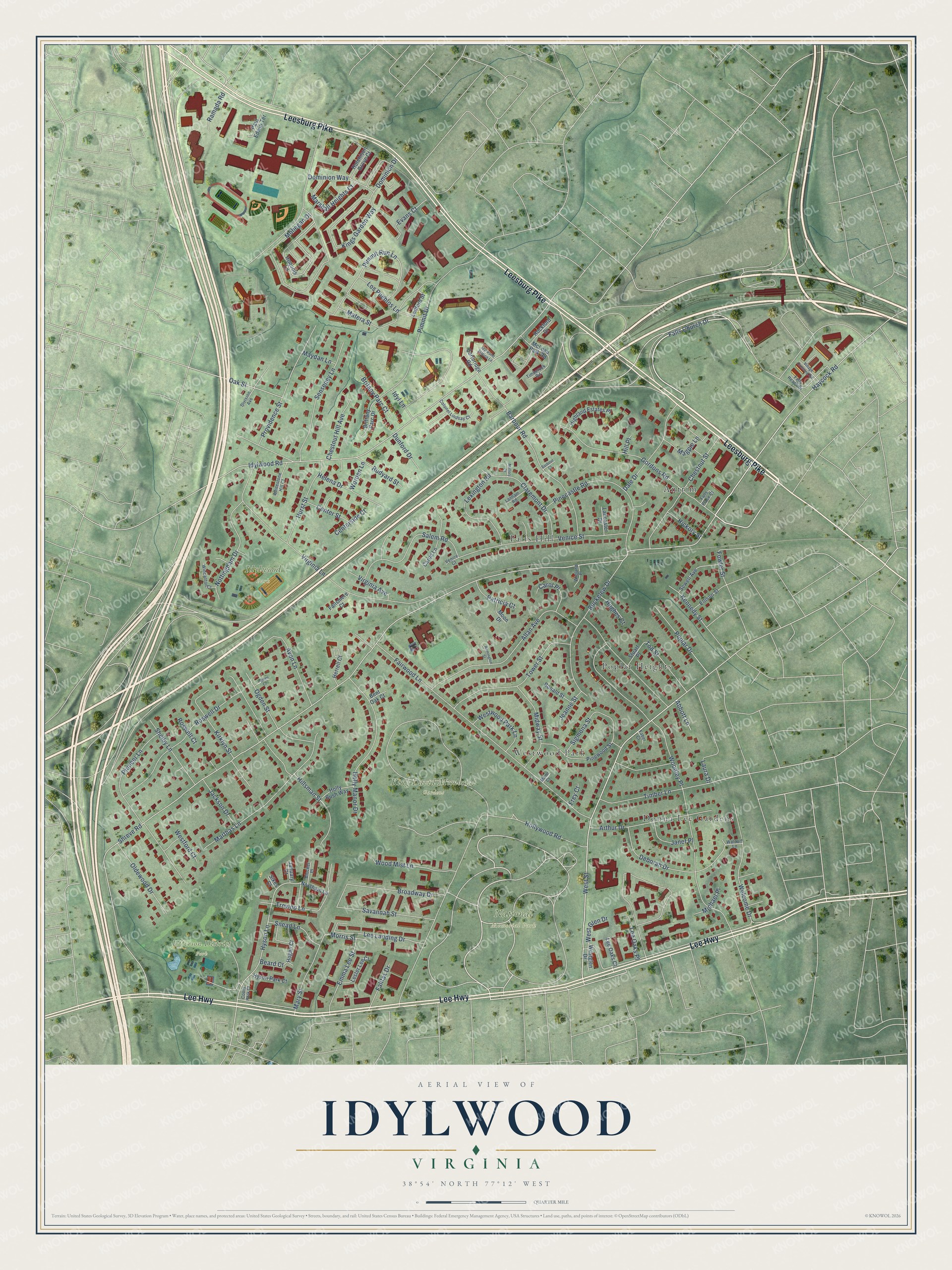
This beautifully detailed map of Idylwood, Virginia was created in 2026 using aerial imagery combined with modern topographical, census, street and landmark data. It’s a one-of-a-kind view of Idylwood that combines accurate data with a vintage aesthetic. The map shows every building in its true location, many of the roads carry their names, and the shaded topographic relief shows the shape of the land.
Explore an aerial view of Idylwood, Virginia
On the map you’ll find Idylwood Park, Jefferson District Park, King David Memorial Gardens, National Memorial Park, Antrim, Donna Lee Gardens, Falls Hill, Poplar Heights, and Westwood Park, along with Leesburg Pike, Lee Highway, Falls Church Drive, and more. If you look closely you can even find your house accurately drawn in its correct location. Zoom in on the preview to look for yours.
Did you know this piece of Idylwood, Virginia history?
Idylwood first grew as a suburban community along the Washington and Old Dominion Railroad. Later it spread along Virginia State Route 7. The Capital Beltway came in the 1960s, and Interstate 66 and the Metro Orange Line followed in the 1980s. Apartments, townhouses and the Idylwood Towers condominium then rose north of Interstate 66.
Take a closer look at the Idylwood map
Street and place names on the Idylwood, Virginia map
These names are printed on the map of Idylwood, Virginia.
Places: Idylwood Park, Jefferson District Park, King David Memorial Gardens, National Memorial Park, Antrim, Donna Lee Gardens, Falls Hill, Poplar Heights and Westwood Park.
Streets and roads: Leesburg Pike, Lee Highway, Falls Church Drive, Gordons Road, Shreve Road, Haycock Road, West Street, Pimmit Run Lane, Hyson Lane, Tod Street, Idylwood Road, Woodley Place.
More street names, A to Z
Abbott Lane, Allan Avenue, Arthur Drive, Avon Lane, Barbour Court, Barbour Road, Beard Court, Bent Oak Court, Blocker Place, Britany Parc Court, Brittany Parc Drive, Broadway Drive, Buckelew Drive, Carol Place, Caron Lane, Cartbridge Road, Centerside Court, Center Street, Chestnut Hill Avenue, Chestnut Street, Claremont Drive, Colonel Lindsay Court, Coors Park Court, Dale Drive, Deborah Drive, Division Avenue, Dominion Drive, Dominion Way, Dunford Drive, Ellison Street, Emma Lee Street, Evans Court, Faber Court, Fairwood Lane, Fallfax Drive, Fallsmere Court, Falls Place Court, Falls Reach Drive, Fowler Street, Frey Court, Helena Drive, Herrell Court, Hickory Street, Highland Estates Place, Hill Place, Hillsman Street, Hogan Court, Holly Bush Way, Holly Manor Drive, Hollywood Road, Hughes Court, Hurst Street, Hutchison Grove Court, Hyson Park Court, Idyl Lane, Idylwood Station Lane, Iroquois Lane, Jackson Drive, Janet Place, January Court, Jeanne Street, Kennedy Street, Kings Garden Way, Kirklyn Street, Lancaster Court, Lanham Road, Laura Drive, Ledford Street, Lee Landing Drive, Lee Oaks Court, Lee Oaks Place, Lester Lee Court, Lexington Road, Los Pueblos Lane, Magpie Lane, Mallory Court, Mann Court, Marshall Heights Court, Marthas Lane, Mary Street, Matera Street, Maydan Lane, McLean Park Road, Michael Place, Midway Street, Mohegan Drive, Moon Drive, Morris Street, Norsham Lane, Nottingham Drive, Oak Street, Ogden Court, Ogden Street, Oldewood Drive, Patricia Court, Paul Edwin Terrace, Pimmit Drive, Pinecastle Road, Pinewood Street, Pioneer Lane, Poplar Drive, Providence Street, Ramada Road, Remington Street, Rockford Drive, Ronald Street, Roswell Court, Roswell Drive, Rudyard Street, Salem Road, Savannah Street, Senseney Lane, Sewell Avenue, Shelby Lane, Sigmona Street, Sikes Court, Snead Lane, Stuart Place, Timber Lane, Timberock Road, Tower Street, Trevino Lane, Venice Court, Venice Street, Village Crossing Road, Virginia Avenue, Virginia Lane, Waldorf Lane, Welcome Drive, Westford Court, West Glen Drive, Westglen Drive, Westwood Park Lane, Whitestone Hill Court, Wieland Place, Wincanton Court, Wood Mist Lane, Worden Lane.
See the Idylwood, Virginia map on a wall
The Idylwood map as an 18 x 24 inch print in a black frame.

This beautifully detailed map of Idylwood makes an attractive addition to your office, library, or den, and it can even be used to teach children the geography and history of the area. It also makes a great gift for someone who left Idylwood and still calls it home. When you’re done exploring, click here to get your copy of the Idylwood map.