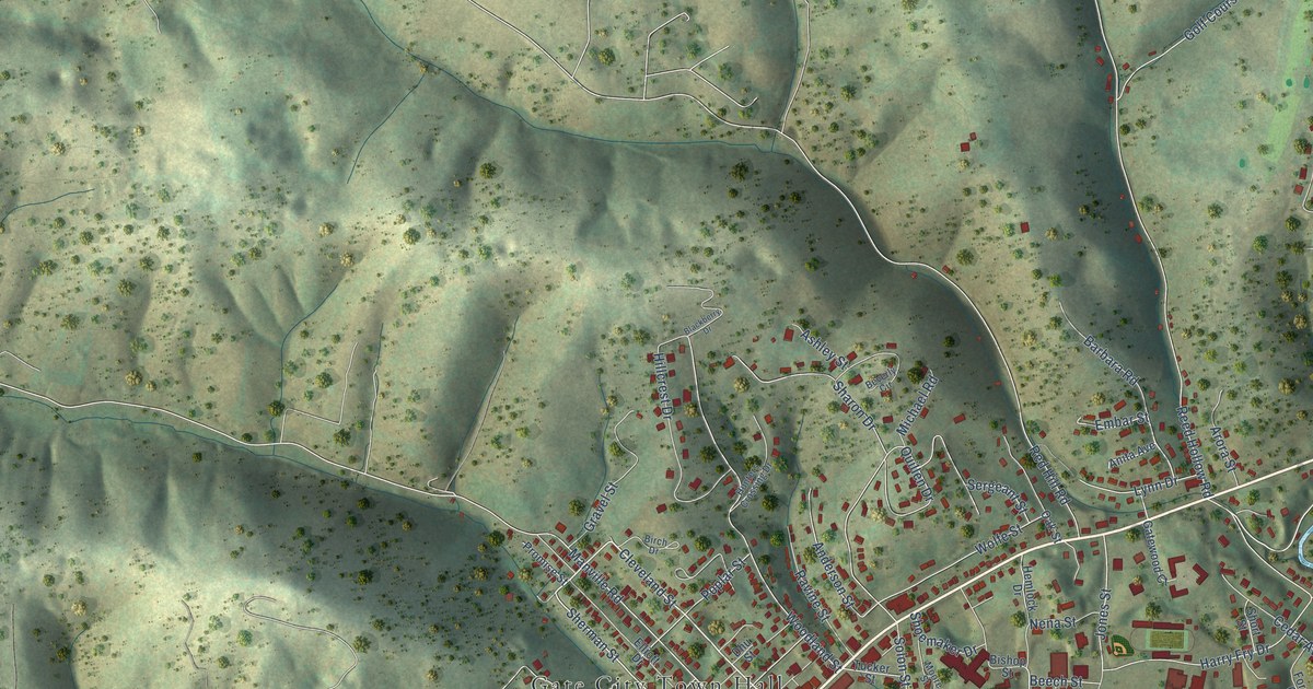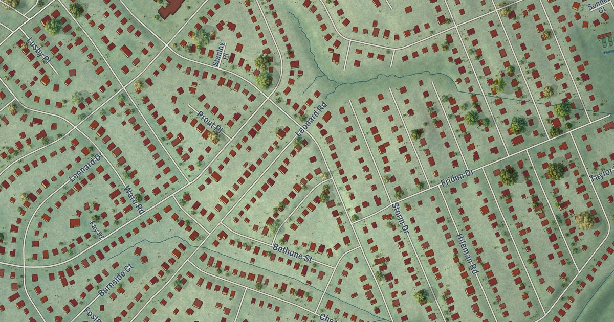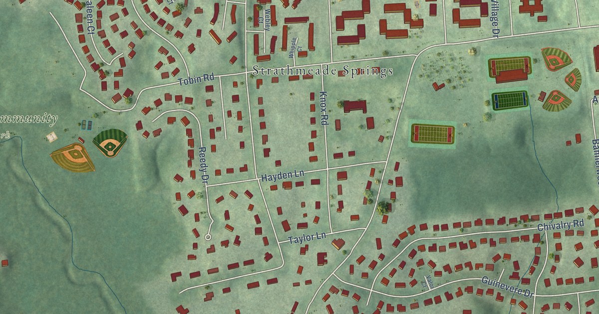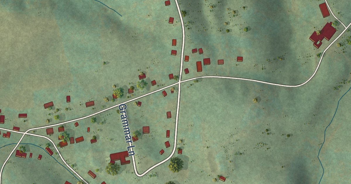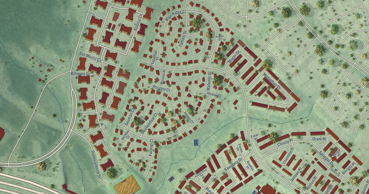
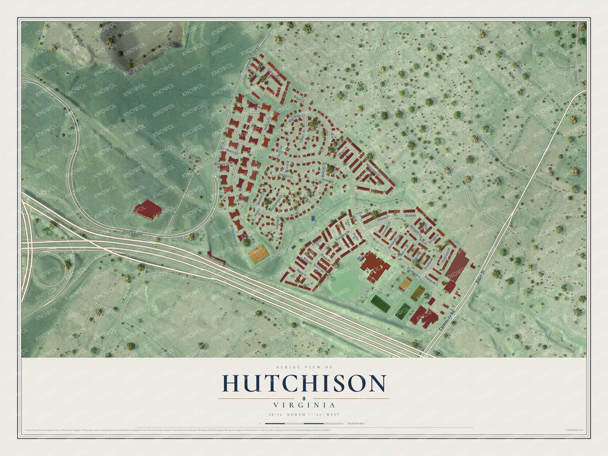
This beautifully detailed map of Hutchison, Virginia was created in 2026 using aerial imagery combined with modern topographical, census, street and landmark data. It’s a one-of-a-kind view of Hutchison that combines accurate data with a vintage aesthetic. The map shows every building in its true location, many of the roads carry their names, and the shaded topographic relief shows the shape of the land.
Explore an aerial view of Hutchison, Virginia
On the map you’ll find Preuit Place, along with Elden Street, Centreville Road, Innovation Avenue, Astoria Circle, Rock Hill Road, Parcher Avenue, Maleady Drive, Springer Drive, Capstone Circle, San Moritz Circle, Monaghan Drive, and more. If you look closely you can even find your house accurately drawn in its correct location. Zoom in on the preview to look for yours.
Did you know this piece of Hutchison, Virginia history?
From the Fairfax County Public Schools: "E. Barbour Hutchison Elementary School was founded in 1975 and, today, has a rich multicultural student population that includes children from more than 28 countries."
Take a closer look at the Hutchison map
Street names on the Hutchison, Virginia map
These names are printed on the map of Hutchison, Virginia.
Streets and roads: Elden Street, Centreville Road, Innovation Avenue, Astoria Circle, Rock Hill Road, Preuit Place, Parcher Avenue, Maleady Drive, Springer Drive, Capstone Circle, San Moritz Circle, Monaghan Drive.
More street names, A to Z
Aiken Place, Apgar Place, Berger Place, Biltmore Drive, Blue Ridge Court, Bryce Court, Chamblee Place, Christy Place, Dulles Greene Drive, Enright Place, Farougi Court, Ferguson Place, Fones Place, Frear Place, Frinks Court, Gingell Place, Hamer Court, Herman Court, Hungerford Place, Huston Place, Jensen Place, Keach Place, Keisler Court, Mager Drive, Oram Place, Pocono Court, Pocono Place, Poener Place, Rowles Place, Saunders Drive, Schwenger Place, Seaman Court, Shea Place, Sugarloaf Court, Tamani Drive, Turquoise Lane, Veenendaal Court, Zosimo Place.
See the Hutchison, Virginia map on a wall
The Hutchison map as an 18 x 24 inch print in a black frame.

This beautifully detailed map of Hutchison makes an attractive addition to your office, library, or den, and it can even be used to teach children the geography and history of the area. It also makes a great gift for someone who left Hutchison and still calls it home. When you’re done exploring, click here to get your copy of the Hutchison map.