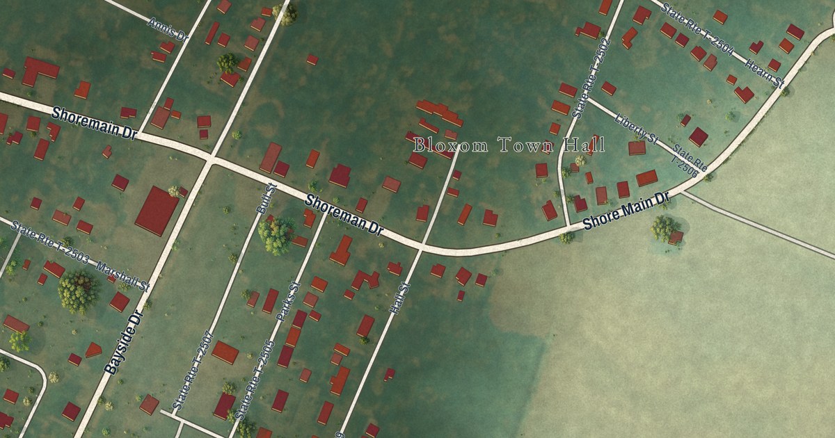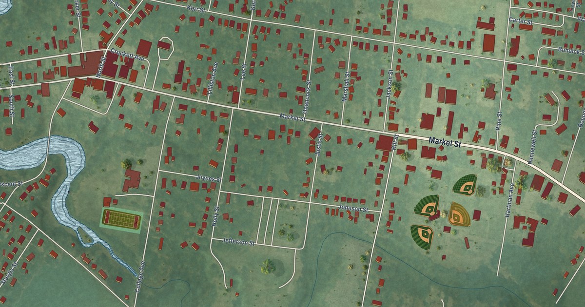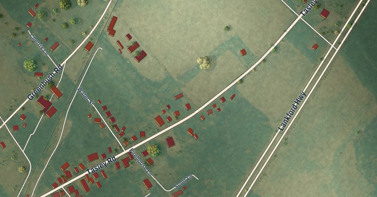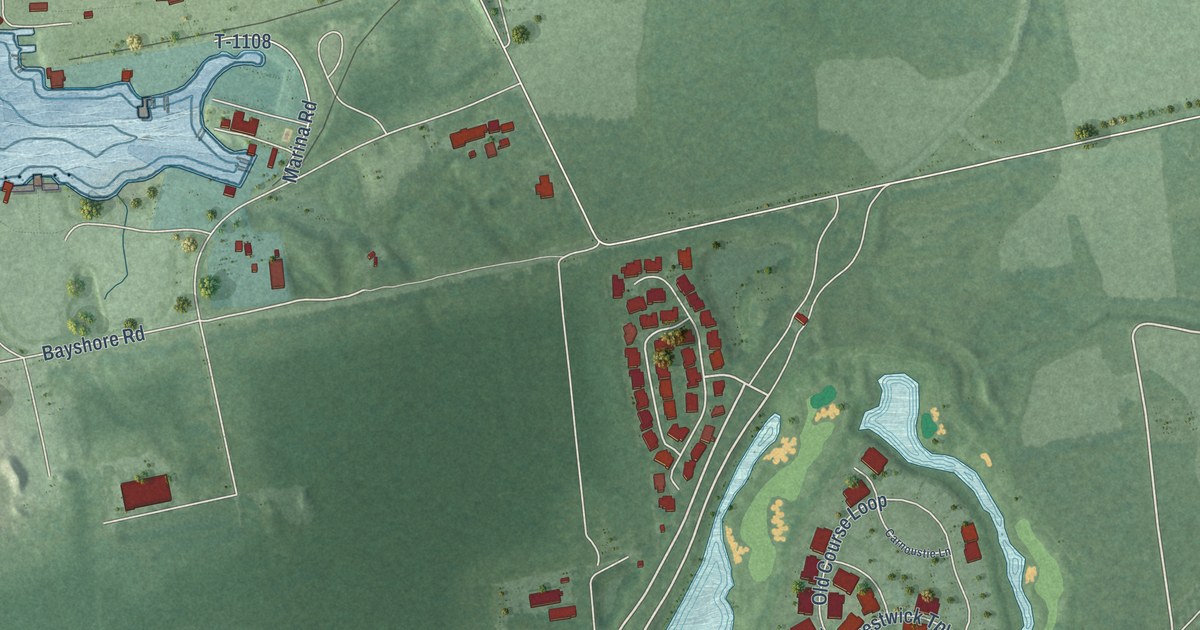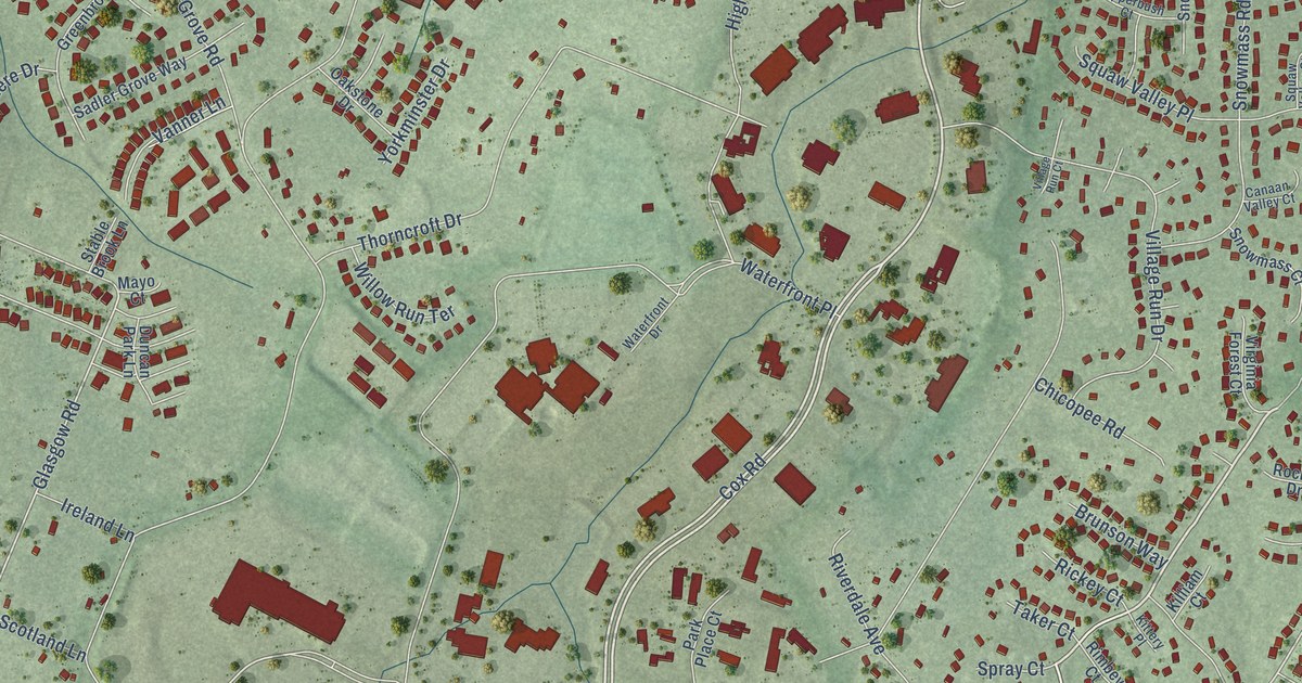
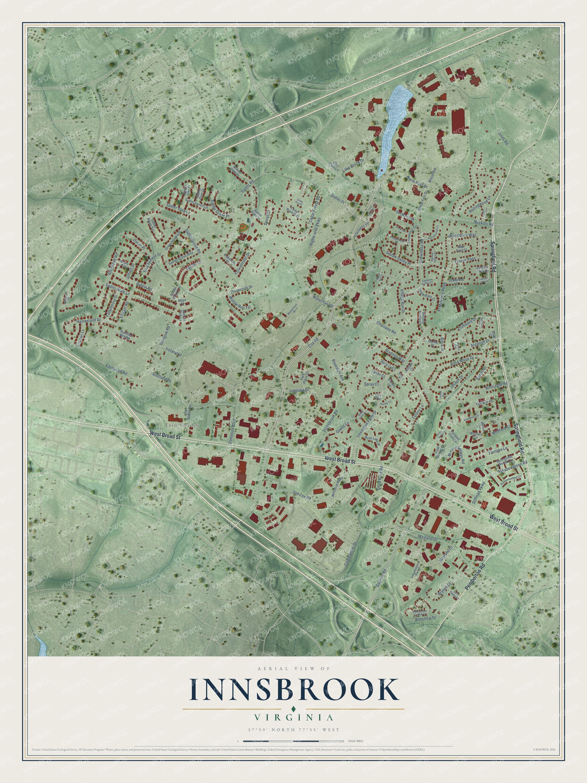
This beautifully detailed map of Innsbrook, Virginia was created in 2026 using aerial imagery combined with modern topographical, census, street and landmark data. It’s a one-of-a-kind view of Innsbrook that combines accurate data with a vintage aesthetic. The map shows every building in its true location, many of the roads carry their names, and the shaded topographic relief shows the shape of the land.
Explore an aerial view of Innsbrook, Virginia
On the map you’ll find Erin Shades, Sadler Place, and Harwin Place, along with West Broad Street, Springfield Road, Pemberton Road, Cox Road, Sadler Road, Ft McHenry Parkway, Cedar Forest Road, Lexington Farm Drive, Mayland Drive, and more. If you look closely you can even find your house accurately drawn in its correct location. Zoom in on the preview to look for yours.
Did you know this piece of Innsbrook, Virginia history?
Innsbrook began in 1979 as a corporate center in Henrico County. Local developer Sidney Gunst founded it on land owned by David Arenstein and Henry Stern. It grew into the second largest employment center in the Richmond region.
Take a closer look at the Innsbrook map
Street and place names on the Innsbrook, Virginia map
These names are printed on the map of Innsbrook, Virginia.
Places: Erin Shades.
Streets and roads: West Broad Street, Springfield Road, Pemberton Road, Cox Road, Sadler Road, Ft McHenry Parkway, Cedar Forest Road, Lexington Farm Drive, Sadler Place, Mayland Drive, Harwin Place, Edinburgh Road.
More street names, A to Z
4 Seasons Terrace, Agnes Drive, Allenbend Road, Anna Marie Drive, Argonne Drive, Arrowleaf Court, Baria Drive, Belfast Road, Bohollow Drive, Boscastle Road, Brookemere Drive, Brunson Way, Bryson Drive, Bush Lake Drive, Bush Lake Place, Canaan Valley Court, Cedar Branch Court, Cedar Post Place, Chicopee Road, Cliffmore Drive, Coal Spring Court, Coal Spring Lane, Commander Drive, Dalat Court, Deep Rock Road, Denali Drive, Dominion Boulevard, Dublin Road, Duncan Park Lane, Elks Pass Lane, Faddenstone Drive, Fairlake Lane, Four Seasons Terrace, Gaelic Lane, Gaskins Road, Glasgow Road, Greenbrooke Drive, Greenmeadow Circle, Hainesland Drive, Harwin Circle, High Mountain Court, Highwoods Parkway, Hurley Court, Independence Park Drive, Innesbrook Road, Innslake Drive, Ireland Lane, Jalbert Drive, Jones Road, Joseph Drive, Joseph Way, Killiam Court, Kittery Place, Lake Brook Drive, Lumber Jack Court, Lumber Jack Lane, Mayland Court, Mayo Court, Meadowgreen Road, Mercil Terrace, Mineral Springs Road, Nashly Way, New Trail Court, North Park Drive, Nuckols Road, Oakstone Drive, Old Cox Road, Old Sadler Road, Oscar Place, Park Place Court, Pemberton Creek Court, Pepperbush Court, Racquet Club Lane, Rickey Court, Rimbey Court, Riverdale Avenue, Rocket Drive, Rollingwood Lane, Sadler Glen Court, Sadler Glen Lane, Sadler Glen Place, Sadler Green Lane, Sadler Green Place, Sadler Grove Road, Sadler Grove Way, Sadler Oaks Drive, Sadler Place Terrace, Sadler Walk Lane, Saint Pages Lane, San Marco Drive, Schaum Court, Scotland Lane, Shadyford Lane, Snow Goose Lane, Snowmass Court, Snowmass Road, Snowmass Terrace, Spray Court, Springfield Woods Circle, Stable Brook Lane, Stanford Mill Road, Stillman Parkway, Taker Court, Thorncroft Drive, Timber Pass, Timberton Court, Toston Lane, Tray Way, Triscari Lane, Vanner Lane, Village Run Court, Village Run Drive, Virginia Forest Court, Waterfront Drive, Waterfront Place, Westerre Parkway, Wheat Avenue, Wheat First Drive, Whitford Circle, Whitford Court, Whitford Terrace, Willow Gate Drive, Willow Run Terrace, Woodshire Way, Yorkminster Drive.
See the Innsbrook, Virginia map on a wall
The Innsbrook map as an 18 x 24 inch print in a black frame.

This beautifully detailed map of Innsbrook makes an attractive addition to your office, library, or den, and it can even be used to teach children the geography and history of the area. It also makes a great gift for anyone with Innsbrook roots. When you’re done exploring, click here to get your copy of the Innsbrook map.