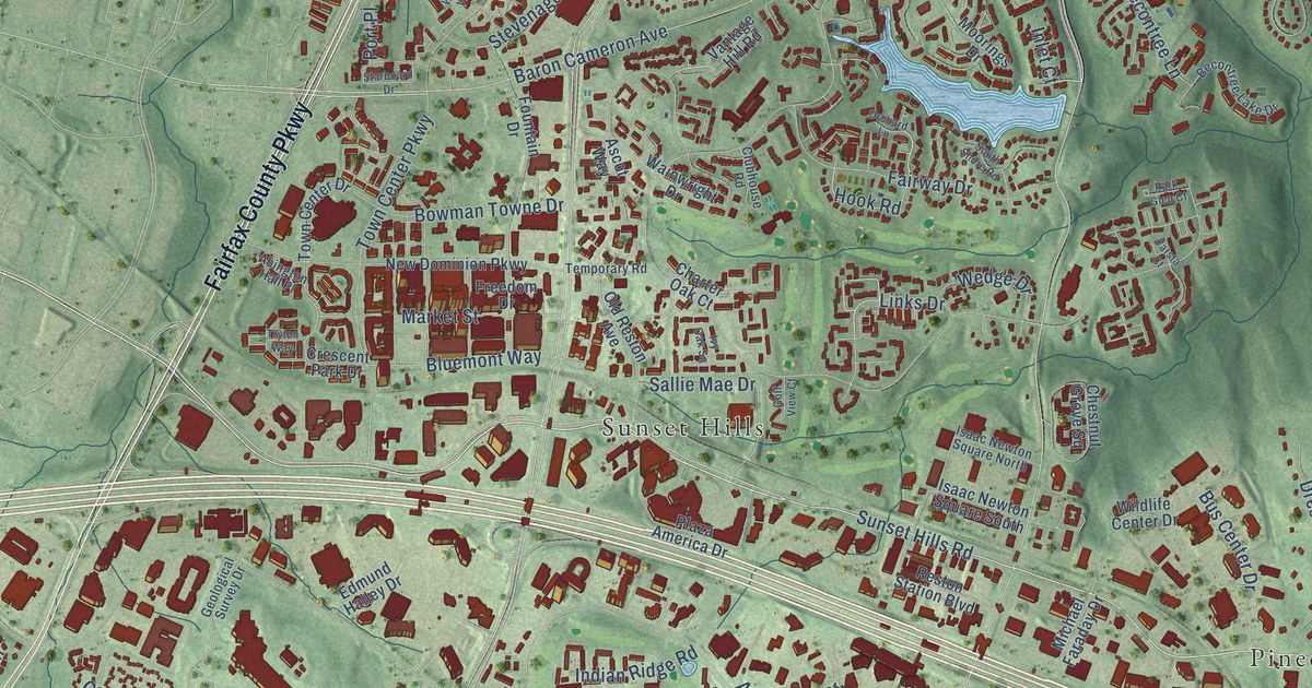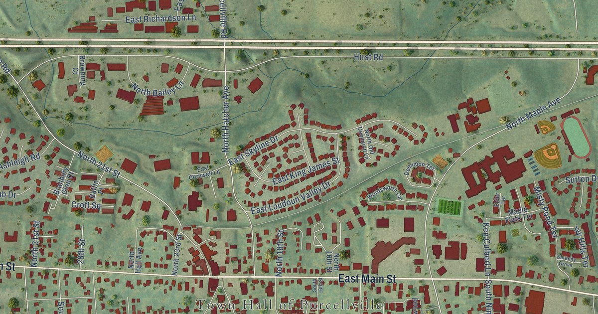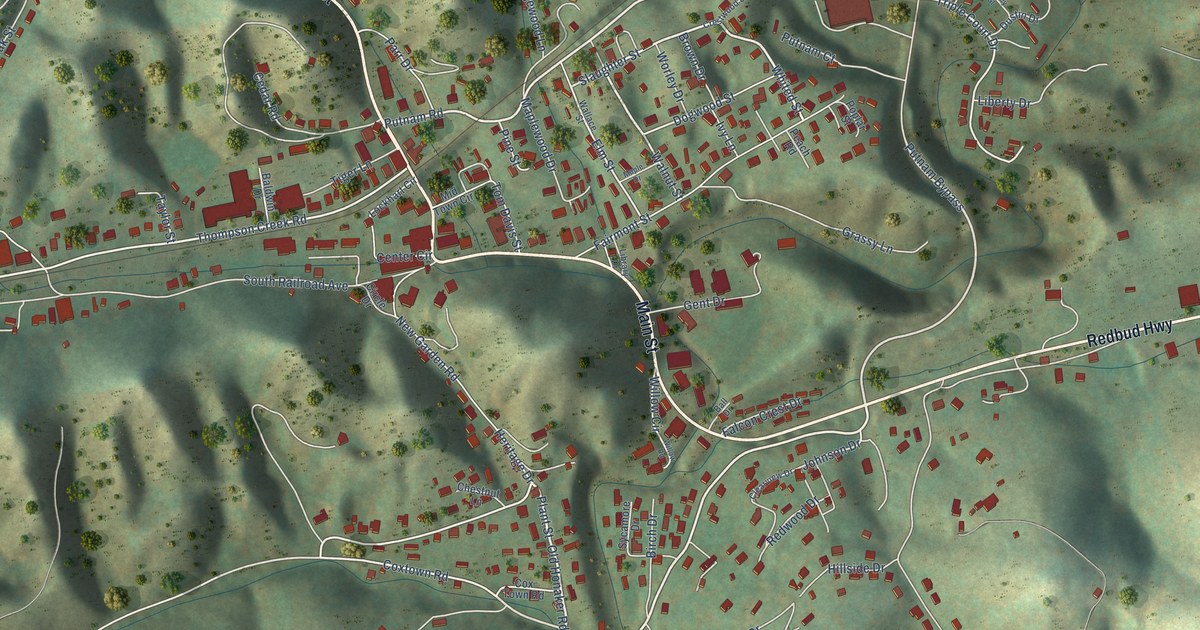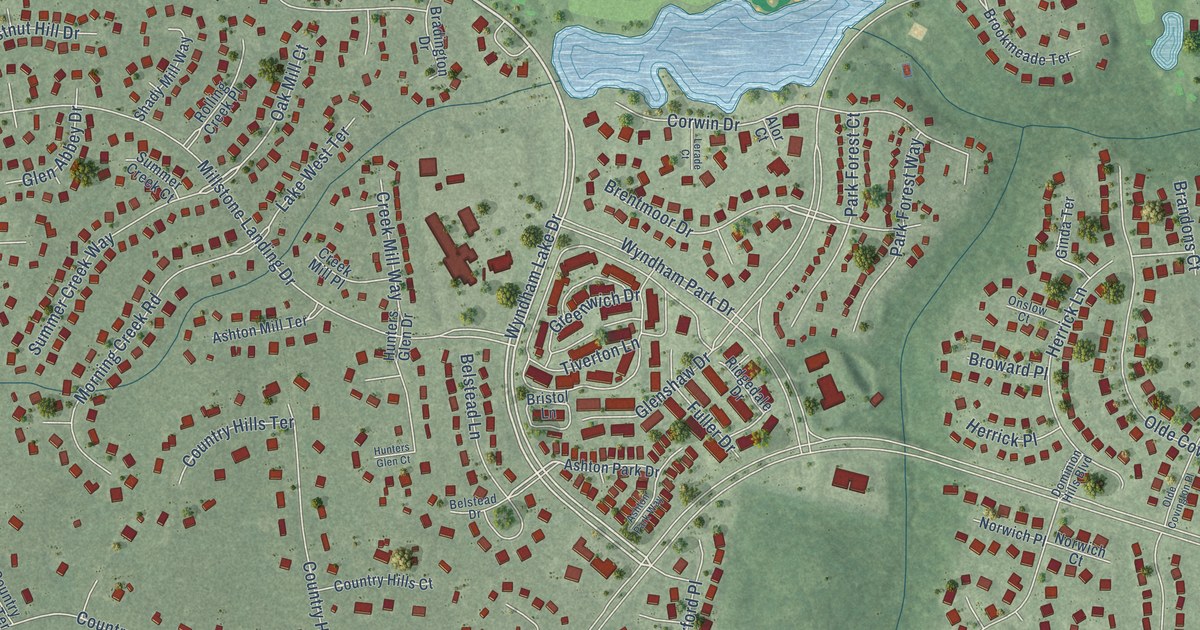
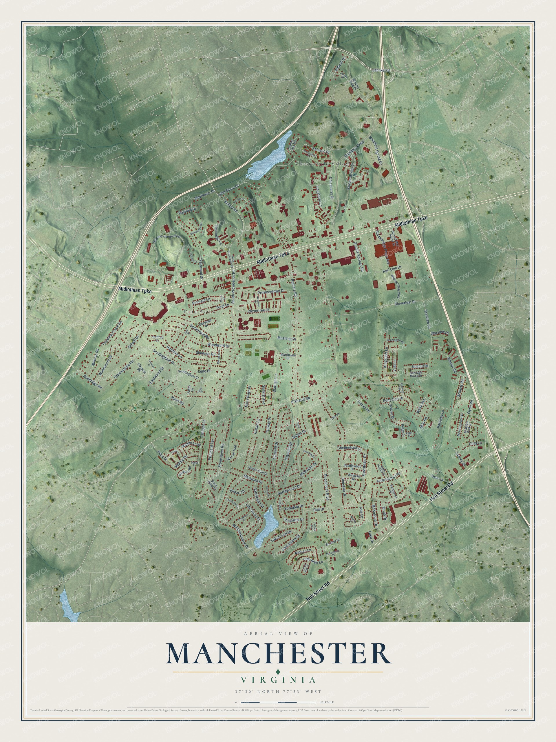
This beautifully detailed map of Manchester, Virginia was created in 2026 using aerial imagery combined with modern topographical, census, street and landmark data. It’s a one-of-a-kind view of Manchester that combines accurate data with a vintage aesthetic. The map shows every building in its true location, many of the roads carry their names, and the shaded topographic relief shows the shape of the land.
Explore an aerial view of Manchester, Virginia
On the map you’ll find Chesterfield Village, Penn Acres, and Providence Golf Club, along with Midlothian Turnpike, Hull Street Road, Jahnke Road, Buford Road, South Providence Road, Tacony Drive, Dyer Lane, Boulders Parkway, Elkhardt Road, and more. If you look closely you can even find your house accurately drawn in its correct location. Zoom in on the preview to look for yours.
Did you know this piece of Manchester, Virginia history?
From Vcris.dhr.virginia.gov: "Established by 1807, the Providence Church congregation of the Methodist Episcopal Church became one of the first Methodist congregations in Chesterfield County to build a permanent house of worship when it constructed a meetinghouse here before 1813."
Take a closer look at the Manchester map
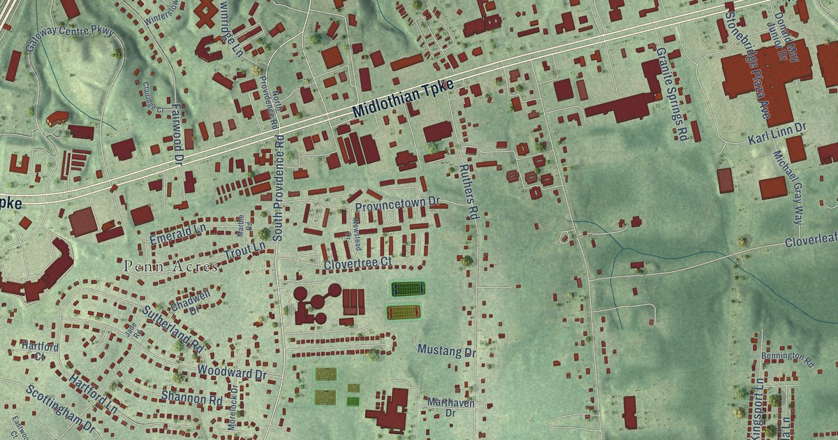
Street and place names on the Manchester, Virginia map
These names are printed on the map of Manchester, Virginia.
Places: Chesterfield Village, Penn Acres and Providence Golf Club.
Streets and roads: Midlothian Turnpike, Hull Street Road, Jahnke Road, Buford Road, South Providence Road, Tacony Drive, Dyer Lane, Boulders Parkway, Elkhardt Road, Turner Road, Pocoshock Boulevard, Ruthers Road.
More street names, A to Z
Aldwell Drive, Amster Road, Andersons Forge Drive, Apple Orchard Court, Apple Orchard Road, Bannockbarn Drive, Bayfield Drive, Beaufont Spring Drive, Belasco Drive, Bellows Drive, Bennington Road, Bloomsherry Drive, Boulder Springs Drive, Boulder View Drive, Bowlin Court, Buggy Drive, Buggy Place, Capelwood Drive, Carriage Pines Drive, Chadwell Drive, Chainmaile Road, Cheltenham Drive, Chevelle Drive, Chinaberry Drive, Clairidge Court, Claypool Road, Cloverleaf Drive, Clovertree Court, Cozy Lane, Debbs Lane, Dell Drive, Donald May Junior Drive, Druid Drive, Dulles Court, Dulles Drive, Eastwood Court, Eastwood Drive, Elmart Court, Elmart Lane, Emerald Lane, Eureka Drive, Fahey Circle, Fahey Court, Fairwood Drive, Flynn Road, Forestdale Drive, Gateshead Drive, Gateway Centre Parkway, Granite Springs Road, Greencastle Road, Grinell Drive, Hann Road, Hartford Court, Hartford Lane, Ives Lane, Jacob Way Court, Jade Road, Juanoak Drive, Karl Linn Drive, Kingsport Lane, Kirkwall Drive, Lady Blair Lane, Lake Drive, Lakeforest Drive, Lake Shore Drive, Lake Surrey Drive, Lancashire Drive, Leno Place, Lilly Drive, Lingstorm Lane, Marble Road, Marthaven Drive, Marwood Drive, Mayflower Drive, McKesson Drive, Meadow Farm Drive, Meadow Park Drive, Michael Gray Way, Middle Loop, Middle Road, Milbrae Road, Millcreek Drive, Milo Road, Morelock Drive, Mustang Drive, Nathan Lane, Nesbitt Drive, Newstead Drive, North Providence Road, Oak Water Court, Old Log Trail, Parkway Lane, Poco Drive, Pocoshock Place, Pony Cart Drive, Post Oak Road, Pritchard Terrace, Provincetown Drive, Queen Scot Drive, Ransco Court, Rayanne Drive, Rayburn Road, Redbridge Road, Sandler Drive, Sandlewood Drive, Scarlet Oak Road, Schloss Road, Scottingham Court, Scottingham Drive, Shannon Road, Starlight Lane, Starview Court, Starview Lane, Stonebridge Plaza Avenue, Stone River Court, Stone River Road, Stonetree Drive, Sunkist Avenue, Surreywood Drive, Sutherland Road, Teddington Drive, Tillers Ridge Drive, Traway Drive, Trickling Creek Road, Trout Lane, Turnmill Drive, Twilight Lane, Twinridge Lane, Vida Lane, Wadsworth Drive, Wake Avenue, Williamstowne Drive, Winterslow Road, Woodward Drive, Wynnewood Drive, Yorkdale Drive.
See the Manchester, Virginia map on a wall
The Manchester map as an 18 x 24 inch print in a black frame.

This beautifully detailed map of Manchester makes an attractive addition to your office, library, or den, and it can even be used to teach children the geography and history of the area. It also makes a great gift for someone who left Manchester and still calls it home. When you’re done exploring, click here to get your copy of the Manchester map.