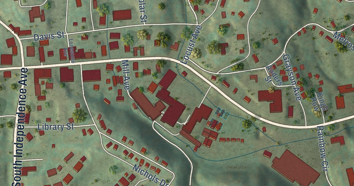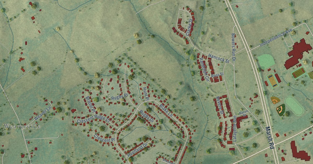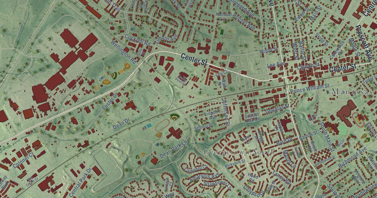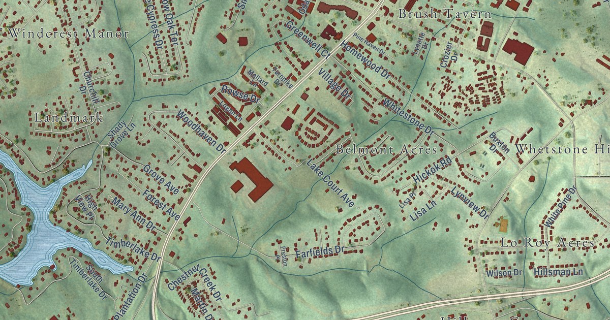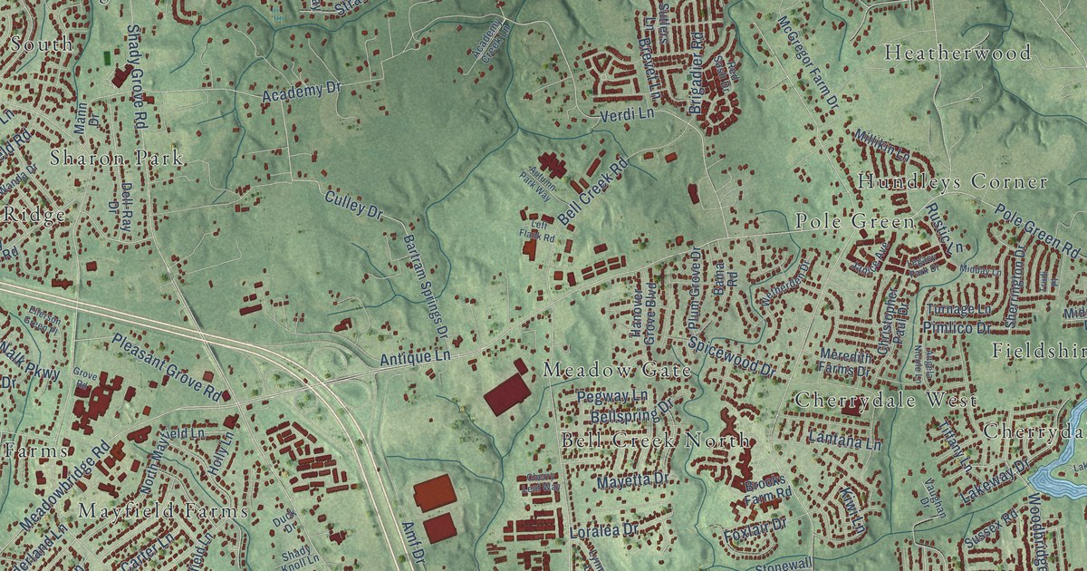
This beautifully detailed map of Mechanicsville, Virginia was created in 2026 using aerial imagery combined with modern topographical, census, street and landmark data. It’s a one-of-a-kind view of Mechanicsville that combines accurate data with a vintage aesthetic. The map shows every building in its true location, many of the roads carry their names, and the shaded topographic relief shows the shape of the land.
Explore an aerial view of Mechanicsville, Virginia
On the map you’ll find Atlee Station, Avondale, Battlefield Green, Bell Creek North, Brandy Creek Estates, Burnside Farms, Cherrydale, Cherrydale West, Dogwood Knoll, Ellerson, Ellerson Mill, Fieldshire, and more. If you look closely you can even find your house accurately drawn in its correct location. Zoom in on the preview to look for yours.
Did you know this piece of Mechanicsville, Virginia history?
From Vcris.dhr.virginia.gov: "Samuel Davies (1723-1761), a leader of the Great Awakening in the South, was Polegreen's first pastor (1748-1759)."
Take a closer look at the Mechanicsville map
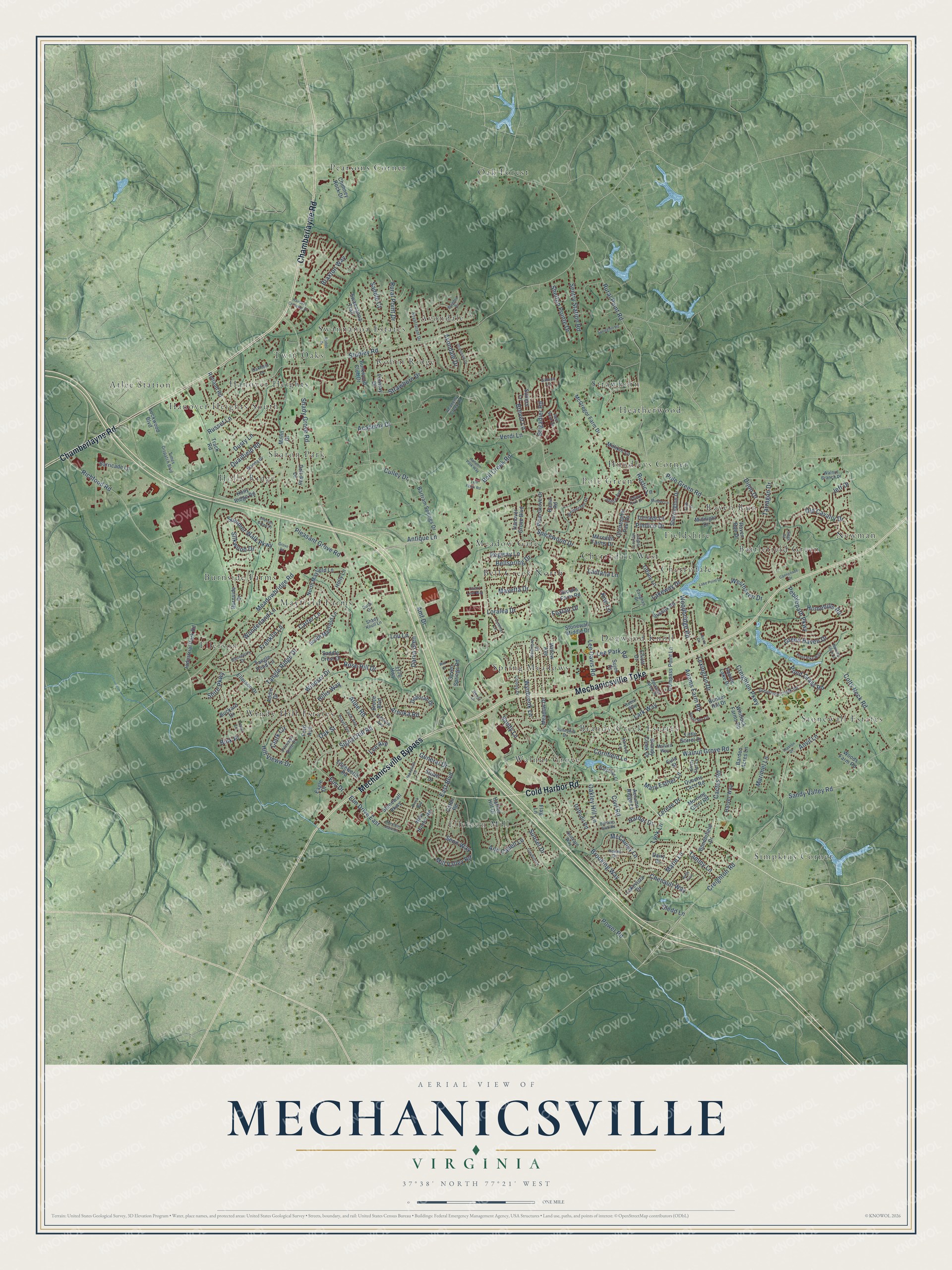
Street and place names on the Mechanicsville, Virginia map
These names are printed on the map of Mechanicsville, Virginia.
Places: Atlee Station, Avondale, Battlefield Green, Bell Creek North, Brandy Creek Estates, Burnside Farms, Cherrydale, Cherrydale West, Dogwood Knoll, Ellerson, Ellerson Mill, Fieldshire, Hanover Heights, Hanover Heights South, Heatherwood, Holly Ridge, Hundleys Corner, Mayfield Farms, Meadow Gate, Newman, Oak Forest, Pearsons Corner, Pole Green, Raven Run, Robin Ridge, Sharon Park, Simpkins Corner, Spring Meadows, Stonewall Estates, Strawhorn, Swannanoa Estates, Twin Oaks, Walnut Grove and Windy Hill Estates.
Streets and roads: Mechanicsville Turnpike, Chamberlayne Road, Cold Harbor Road, Mechanicsville Bypass, Bell Creek Road, Pole Green Road, Shady Grove Road, Rural Point Road, Studley Road, Atlee Road, Walnut Grove Road, Lee Davis Road.
More street names, A to Z
1176 Highway, Academy Creek Lane, Academy Drive, Adams Farm Road, Addie Drive, Amf Drive, Angela Nicole Lane, Ann Cabell Lane, Antique Lane, Anvil Lane, Arnoka Road, Autumn Park Way, Autumn Ridge Lane, Avondale Drive, Bama Road, Baneberry Drive, Barden Acres Lane, Barricade Lane, Bartletts Bluff Road, Bartram Springs Drive, Bellspring Drive, Bink Place, Blagdon Drive, Bonniefield Drive, Brandy Creek Drive, Braxton Way, Brevet Lane, Brigadier Road, Broad Sky Circle, Brooking Way, Brooks Farm Road, Brook Way, Bruce Boulevard, Buckard Drive, Bunker Hill Drive, Burkwood Club Drive, Burnside Drive, Cactus Road, Cannonade Drive, Carter Lane, Catlin Road, Chenault Way, Cherry Leaf Way, Chimney Rock Drive, Christopher Paul Drive, Civil Road, Clark Circle, Claybird Lane, Colony Drive, Colts Neck Road, Compass Point Lane, Cornfield Lane, Creighton Parkway, Creighton Road, Culley Drive, Daffodil Road, Dairy Drive, Darva Glen, Deborah Drive, Dell-Ray Drive, Dijon Drive, Dominion Park Drive, Drinkard Way, Duck Drive, Dusty Lane, Eagle Drive, East Boulevard, Edgeworth Road, Ellerson Drive, Ellerson Green Place, Elliott Drive, Elm Drive, Elm Drive East, Eula Street, Fenway Drive, Flag Lane, Ford Avenue, Foxlair Drive, Franklin Lane, Fullview Avenue, Gabion Lane, General Drive, Grantham Drive, Green Haven Drive, Greystone Creek Road, Grove Road, Hanna Drive, Hanover Crossing Drive, Hanover Grove Boulevard, Harbor Drive, Harbor Hill Drive, Harver Way, Harvest Lane, Hillis Way, Hill Vieww Drive, Holly Lane, Holly Ridge Road, Homehills Road, Industrial Park Road, Jackson Arch Drive, Janice Avenue, Jeff Drive, Kenmore Drive, Kiwi Lane, Kristy Star Lane, Lake Point Drive, Lakevista Drive, Lakeway Drive, Lantana Lane, Lark Way, Lee Avenue, Lee Park Road, Left Flank Road, Legacy Park Drive, Lereve Drive, Lexington Drive, Liberty Circle, Little Sorrel Drive, Lockwood Boulevard, Loralea Drive, Lou Lane, Luck Avenue, Lynk Lane, Lynmar Lane, Mallard Way, Mann Drive, Marie Lane, Marimel Lane, Mary Esther Lane, Mayetta Drive, McCauley Lane, McGregor Farm Drive, Meadowbridge Road, Meadow Drive, Meredith Farms Drive, Midday Lane, Midnight Drive, Millikin Lane, Mill Valley Road, Morning Glory Road, Nells Trce, New Hunter Road, North Mayfield Lane, Oakfield Lane, Oakley Hill Lane, Oak Street, Old Cavalry Drive, Pebble Lake Drive, Pebblepath Parkway, Pegway Lane, Pickett Avenue, Pimlico Drive, Pleasant Grove Road, Plum Grove Drive, Pond Grass Road, Pond Pike Way, Power Road, Princess Anne Drive, Quailfield Road, Queens Lace Road, Raven Run Drive, Red Sash Drive, Richfood Road, Robin Way, Rodeo Drive, Rose Hill Drive, Royal Grant Drive, Rural Point Drive, Russet Lane, Rustic Lane, Rutland Road, Saddle Court, Saddle Crest Drive, Sandy Lane, Sandy Valley Road, Senn Way, Sentry Station Road, Seven Springs Road, Shady Knoll Lane, Shelton Pointe Drive, Sherrington Drive, Shire Parkway, Siege Road, Signal Hill Road, Silkwood Drive, Sledd Lane, South Mayfield Lane, Spicewood Drive, Springhill Road, Stonewall Drive, Stonewall Middle Drive, Stonewall Parkway, Strawhorn Drive, Stuart Drive, Sujen Court, Summer Walk Parkway, Sunnyhill Drive, Sunset Drive, Sussex Road, Sutlers Lane, Swannanoa Trail, Tammy Lane, Tangle Pond Lane, Tangle Ridge Drive, Tarragon Drive, Thaxton Drive, Tiffany Lane, Times Dispatch Boulevard, Track Road, Troub Lane, Trudi Place, Turnage Lane, Vaughan Drive, Verdi Lane, Walgrove Court, Walking Stick Lane, Walnut Branch Drive, Wanda Drive, Westhaven Drive, Wetherden Drive, Whitlock Farms Road, Willow Avenue, Win Court, Windsor Drive, Wonderland Lane, Woodbridge Road, Woods Farm Road, Woody Lane, Wynbrook Lane.
See the Mechanicsville, Virginia map on a wall
The Mechanicsville map as an 18 x 24 inch print in a black frame.

This beautifully detailed map of Mechanicsville makes an attractive addition to your office, library, or den, and it can even be used to teach children the geography and history of the area. It also makes a great gift for someone who left Mechanicsville and still calls it home. When you’re done exploring, click here to get your copy of the Mechanicsville map.