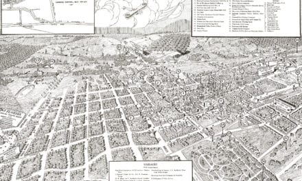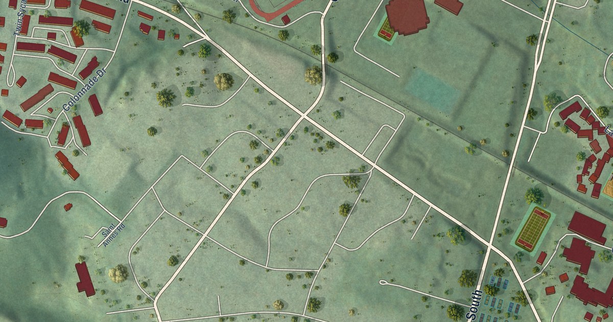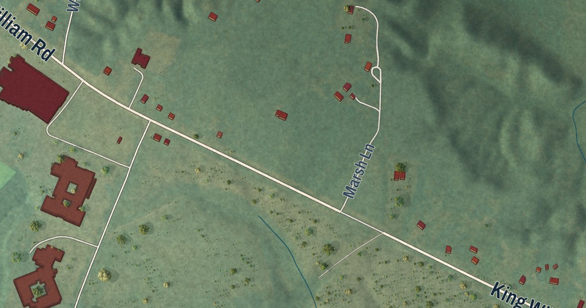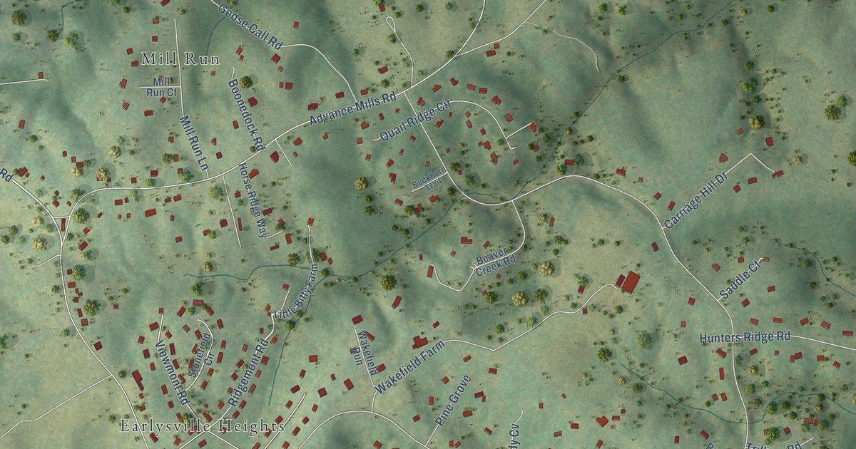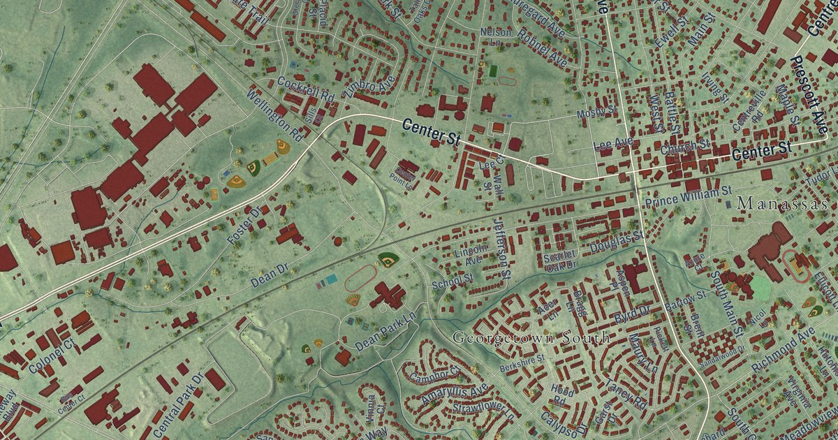
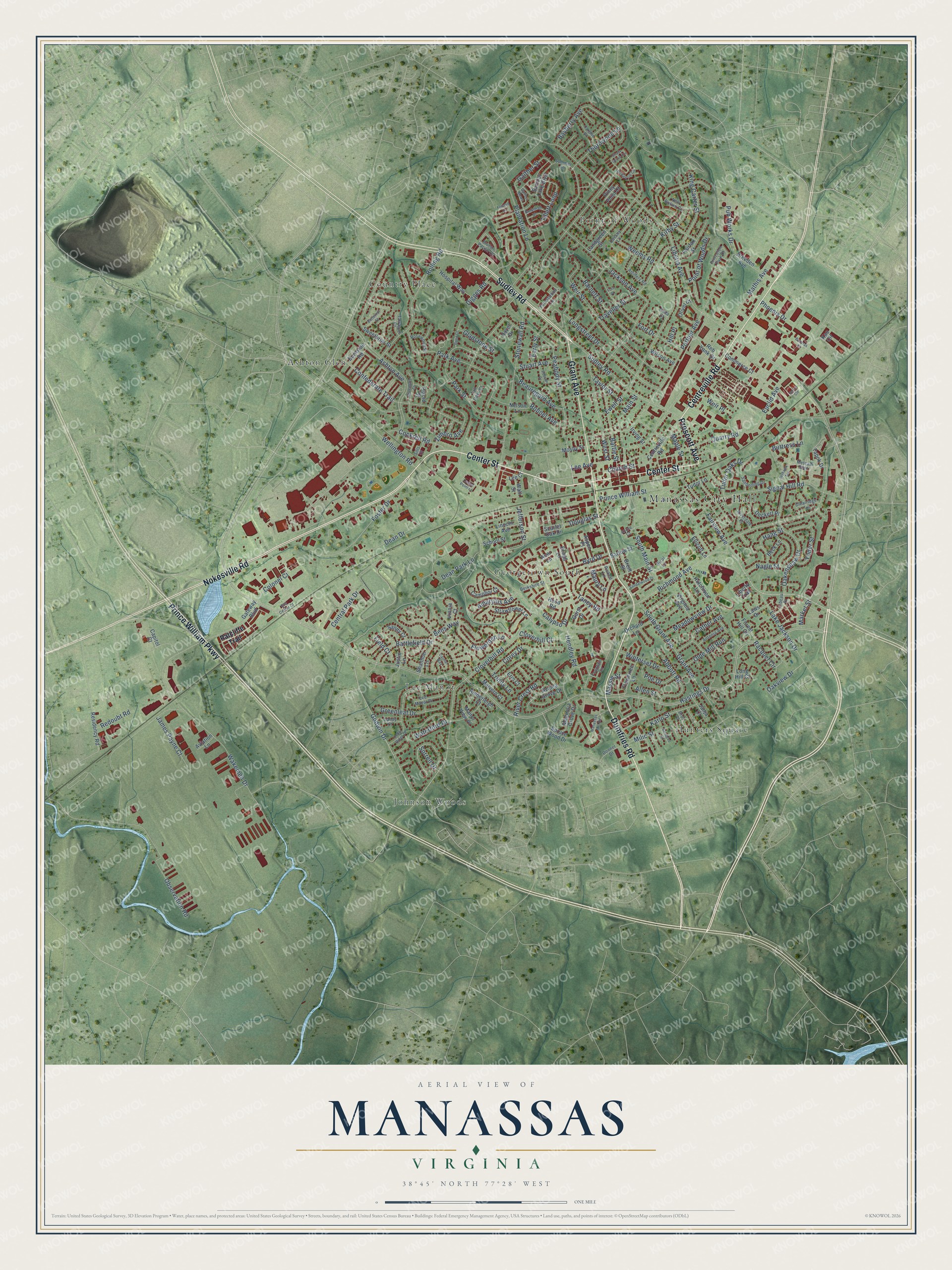
This beautifully detailed map of Manassas, Virginia was created in 2026 using aerial imagery combined with modern topographical, census, street and landmark data. It’s a one-of-a-kind view of Manassas that combines accurate data with a vintage aesthetic. The map shows every building in its true location, many of the roads carry their names, and the shaded topographic relief shows the shape of the land.
Explore an aerial view of Manassas, Virginia
On the map you’ll find Manassas City Hall, Ashton Glen, Country Place, Georgetown South, Hunters Square, Johnson Woods, Lee Manor, and Point of Woods, along with Grant Avenue, Center Street, Prince William Parkway, Dumfries Road, and more. If you look closely you can even find your house accurately drawn in its correct location. Zoom in on the preview to look for yours.
Did you know this piece of Manassas, Virginia history?
From Vcris.dhr.virginia.gov: "According to tradition the name Manassas was derived either from an Indian source or from Manasseh, a Jewish innkeeper at Manassas Gap (35 miles west)."
Take a closer look at the Manassas map
Street and place names on the Manassas, Virginia map
These names are printed on the map of Manassas, Virginia.
Places: Manassas City Hall, Ashton Glen, Country Place, Georgetown South, Hunters Square, Johnson Woods, Lee Manor and Point of Woods.
Streets and roads: Grant Avenue, Center Street, Prince William Parkway, Dumfries Road, Centreville Road, Nokesville Road, Prescott Avenue, Sudley Road, Peabody Street, Lee Avenue, Hastings Drive, Liberia Avenue.
More street names, A to Z
Abbott Road, Acer Lane, Allen Street, Amaryllis Avenue, Amberleigh Court, Anita Court, Antonia Avenue, Artillery Road, Ashton Avenue, Aspen Place, Aviation Lane, Azalea Grove Drive, Azure Court, Bankhead Drive, Barnett Street, Bartow Street, Battlefield Drive, Battle Street, Bayberry Avenue, Beauregard Avenue, Beck Lane, Bens Way, Berkshire Street, Bond Court, Bragg Lane, Breeden Avenue, Brent Street, Broz Court, Bruton Parish Court, Bucyrus Court, Burnside Road, Bus Center Court, Butternut Street, Buttress Lane, Byrd Drive, Calypso Drive, Camphor Court, Candy Court, Capitol Court, Carmel Way, Cather Avenue, Cavalry Lane, Cedar Ridge Drive, Center Point Lane, Central Park Drive, Church Street, Clearridge Lane, Cloverhill Court, Cloverhill Road, Cockrell Road, Colonel Court, Commerce Court, Confederate Trail, Corey Drive, Dean Drive, Dean Park Lane, Deckert Place, Digges Road, Donner Drive, Douglas Street, Early Street, Ellicott Lane, Erin Court, Euclid Avenue, Ewell Street, Fairfax Street, Fairview Avenue, Felsted Lane, Field Court, Flowerden Lane, Flowerree Lane, Forest Hill Circle, Forestwood Lane, Fort Drive, Fort Place, Foster Drive, Fountain Circle, Gaither Mews, Gaither Street, Garst Drive, Gateway Boulevard, Gladstone Street, Godwin Drive, Greengate Court, Greenleaf Drive, Haag Street, Hazel Drive, Hendley Road, Hill Place, Hood Road, Hospital Way, Hutchison Lane, Irving Street, Jackson Avenue, James Payne Court, Janja Court, Jayhawk Terrace, Jefferson Street, Jerrys Circle, Justin Lane, Kao Circle, Karlo Street, King Carter Street, Kirby Street, Lake Jackson Drive, Landgreen Street, Laws Drive, Lee Court, Lee Manor Drive, Libeau Drive, Liberty Trail, Lincoln Avenue, Long Hill Court, Longstreet Drive, Magnolia Grove Drive, Main Street, Malvern Court, Manassas Mill Road, Manor View Place, Maple Street, Market Street, Massie Street, Mathis Avenue, Maury Lane, McKenzie Circle, Meadowview Drive, Metcalf Boulevard, Milic Street, Mosby Street, Nagle Street, Nelson Lane, New Britain Circle, Nicol Lane, Oakenshaw Drive, Oakglen Road, Oakview Drive, Observation Road, Olde Mill Run, Oliver Court, Orchard Lane, Park Avenue, Park Street, Phoenix Drive, Pickett Lane, Piney Point Court, Placid Street, Plantation Lane, Poe Drive, Point of Woods Drive, Portner Avenue, Princeton Park Drive, Prince William Street, Pub Works Drive, Quarry Road, Racquet Circle, Ratcliffe Trail, Reb Yank Drive, Redoubt Road, Residency Road, Richmond Avenue, River Crest Road, Riverdale Place, Robnel Avenue, Robson Drive, Rolling Road, Rosewood Street, Sandalwood Drive, Sanderling Drive, Sandy Court, Sarajevo Court, Scarlet Oak Drive, School Street, Shady Grove Circle, Shannon Lane, Signal Hill Road, Sills Court, Sorrell Drive, South Grant Avenue, South Main Street, Spruce Wood Drive, Stonewall Road, Strawflower Lane, Stuart Avenue, Summer Lane, Sumner Lake Boulevard, Sweetbriar Street, Tall Oaks Court, Taney Road, Tapok Drive, Tarragon Court, Taylor Street, Thornwood Lane, Tillett Loop, Traveller Street, Trinity Lane, Tudor Lane, Tudor Oaks Drive, Vinnia Court, Virginia Avenue, Wakemen Drive, Wall Street, Waterford Drive, Weems Road, Weir Place, Weir Street, Wellington Road, West Street, Wilson Avenue, Winterset Drive, Yoder Street, Zimbro Avenue.
See the Manassas, Virginia map on a wall
The Manassas map as an 18 x 24 inch print in a black frame.

This beautifully detailed map of Manassas makes an attractive addition to your office, library, or den, and it can even be used to teach children the geography and history of the area. It also makes a great gift for anyone with Manassas roots. When you’re done exploring, click here to get your copy of the Manassas map.