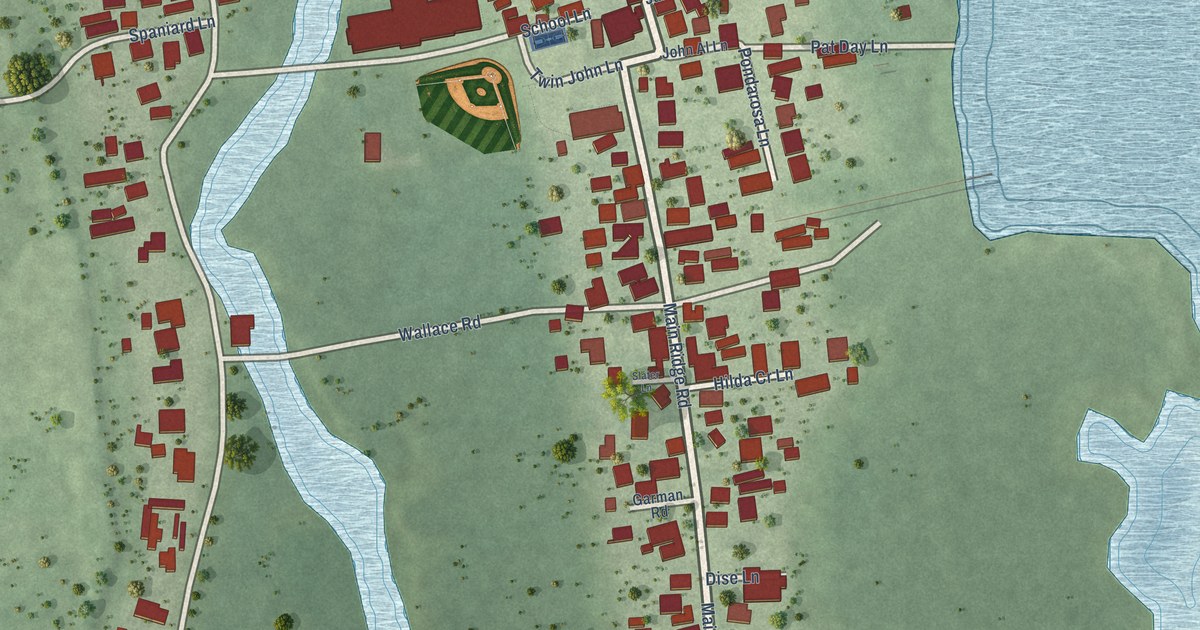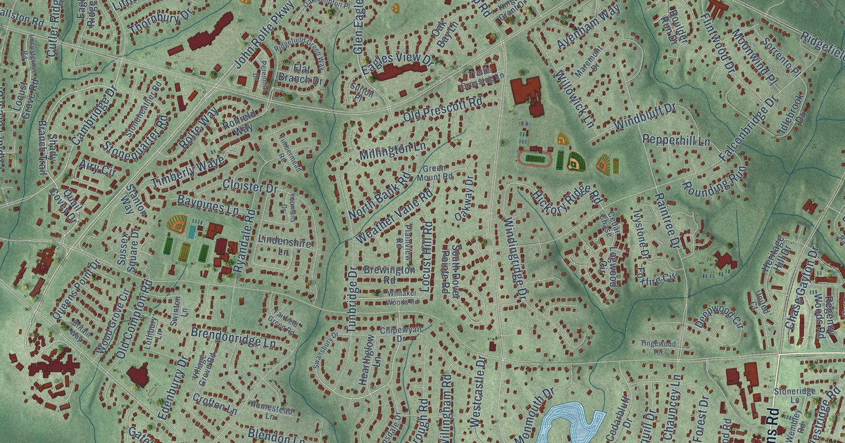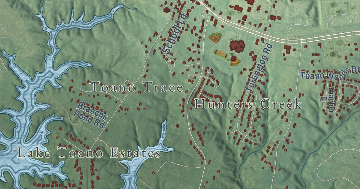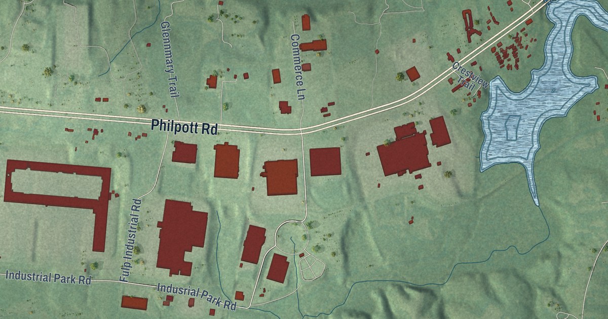
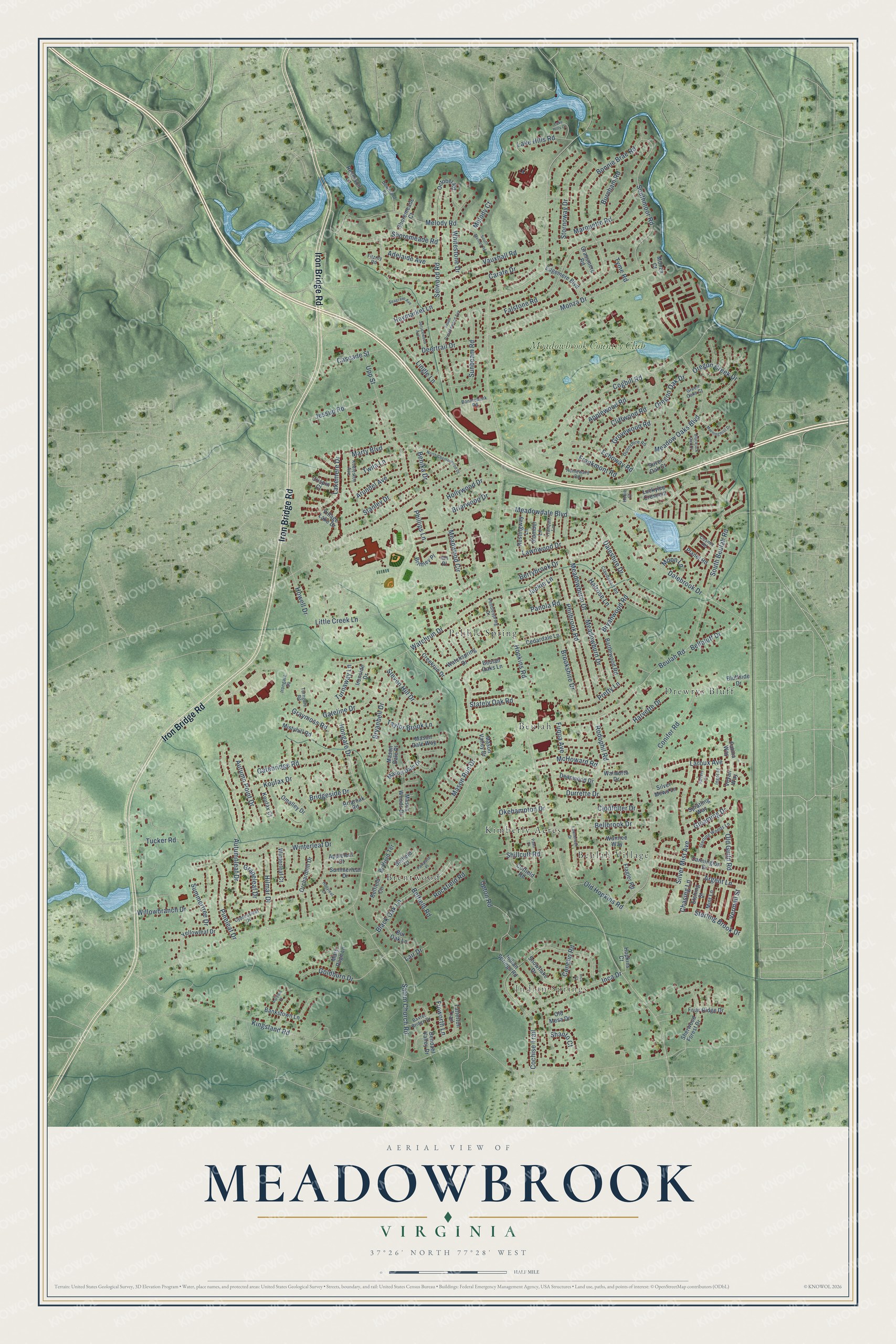
This beautifully detailed map of Meadowbrook, Virginia was created in 2026 using aerial imagery combined with modern topographical, census, street and landmark data. It’s a one-of-a-kind view of Meadowbrook that combines accurate data with a vintage aesthetic. The map shows every building in its true location, many of the roads carry their names, and the shaded topographic relief shows the shape of the land.
Explore an aerial view of Meadowbrook, Virginia
On the map you’ll find Indian Springs, Beulah, Beulah Village, Brentwood, Drewrys Bluff, Kimberly Acres, Pebble Spring, and Meadowbrook Country Club, along with Iron Bridge Road, Monza Drive, Hopkins Road, Beulah Road, and more. If you look closely you can even find your house accurately drawn in its correct location. Zoom in on the preview to look for yours.
Did you know this piece of Meadowbrook, Virginia history?
From the Chesterfield County Public Schools: "Meadowbrook High School opened its doors for the first time to students in September 1963."
Take a closer look at the Meadowbrook map
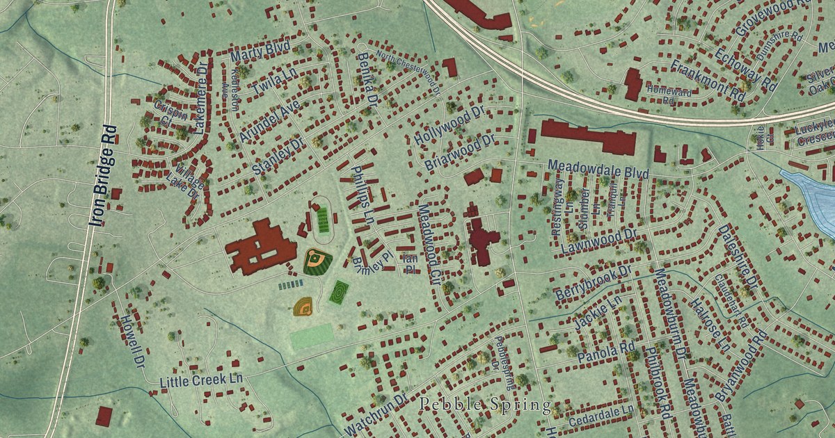
Street and place names on the Meadowbrook, Virginia map
These names are printed on the map of Meadowbrook, Virginia.
Places: Indian Springs, Beulah, Beulah Village, Brentwood, Drewrys Bluff, Kimberly Acres, Pebble Spring and Meadowbrook Country Club.
Streets and roads: Iron Bridge Road, Monza Drive, Hopkins Road, Beulah Road, Kingsland Road, Dalebrook Drive, Cogbill Road, Meadowdale Boulevard, Conifer Road, Autumnleaf Drive, Little Creek Lane, Irongate Drive.
More street names, A to Z
Adelaide Avenue, Appleleaf Court, Applewood Road, Argent Lane, Arundel Avenue, Autumn Point Drive, Bankstown Lane, Battlewood Road, Baxter Bridge Drive, Belfield Circle, Belfield Court, Belfield Road, Belfield Terrace, Bellbluff Drive, Bellbrook Drive, Bendahl Valley Drive, Benika Drive, Berrybrook Drive, Beulah Oaks Lane, Blackjack Oak Court, Black Oak Lane, Bluffside Drive, Bonniebank Road, Bonnie Brae Road, Briaroak Road, Briarwood Drive, Bridgeside Drive, Brimley Place, Brookshire Drive, Bryanbell Drive, Bryanwood Road, Burnham Road, Bur Oak Lane, Cannington Drive, Carafe Drive, Cascade Street, Cedardale Lane, Chasing Lane, Claudehart Road, Cliffwood Road, Clodfelter Drive, Cochise Trail, Concho Road, Cosmic Road, Cotfield Road, Creekrun Drive, Crispin Court, Cypressleaf Drive, Daleshire Drive, Darebin Place, Deanwood Drive, Deertrail Drive, Downland Road, Dunnshire Road, Durrette Drive, Echoway Road, Edgemere Boulevard, Etching Street, Falstone Road, Finworth Lane, Fitzroy Road, Flagler Road, Frankmont Road, Friar Ridge Drive, Fuqua Avenue, Gatebridge Road, Gateline Drive, Gleaming Drive, Goldburn Drive, Grapeleaf Drive, Grassmere Road, Graymoss Road, Green Oaks Court, Grovewood Road, Halrose Lane, Harvette Drive, Haymarket Lane, Hilmar Drive, Hokie Court, Hollyleaf Court, Hollywood Drive, Homeward Road, Hopkins Court, Howell Drive, Ian Place, Inca Court, Inca Drive, Indian Springs Road, Ingot Place, Irongate Square, Ironside Drive, Jackie Lane, Jessup Road, Kedleston Avenue, Koufax Court, Koufax Drive, Lair Drive, Lake Hills Court, Lake Hills Road, Lakemere Drive, Laroux Avenue, Lawnbrook Drive, Lawnwood Drive, Lingle Lane, Luckylee Crescent, Marquette Road, Marty Boulevard, Mary Page Lane, Mason Dale Drive, Mason Dale Place, Mason Dale Way, Mason Run Drive, Mason Valley Drive, Mason Woods Drive, McHoward Road, Meadowburm Drive, Meadowburn Drive, Meadow Oaks Boulevard, Meadwood Circle, Melody Court, Melody Road, Mint Lane, Mistyhill Road, Monza Court, Moon Lane, Morningmist Drive, North Chesterwood Drive, October Road, Okehampton Drive, Old Guild Road, Old Hopkins Road, Old Mesa Drive, Omalley Drive, Orchardhill Drive, Oregon Creek Drive, Oregon Oak Drive, Pano Drive, Panola Road, Patina Way, Pawpans Place, Pebblespring Drive, Philbrook Road, Phillips Lane, Pineleaf Drive, Planet Road, Pretty Lane, Reservoir Lane, Restingway Lane, Rockfield Road, Rodophil Road, Salem Church Road, Salvers Court, Seagrave Avenue, Selwood Road, Shanto Court, Sherwood Forest Drive, Shillcutt Road, Shoremeade Court, Shoremeade Road, Silver Mews Lane, Silver Mist Avenue, Silver Oak Court, Slumber Lane, Snowflake Drive, South Beulah Road, South Melody Road, Southmoor Road, South Prestonwood Avenue, Spratling Way, Sprucewood Avenue, Stanley Drive, Stately Oak Road, Sterling Brook Drive, Sterling Woods Lane, Steven Hill Drive, Stornoway Drive, Summerleaf Drive, Summertree Drive, Sunbeam Road, Tatterton Trail, Taylor Brook Lane, Tranquil Lane, Tucker Road, Turnaway Lane, Turngate Road, Twila Lane, Tyme Road, Upp Street, Upton Road, Vauxhall Road, Vermeil Street, Veyan Way, Village Lake Drive, Walworth Drive, Wannee Way, Watchrun Drive, Watchspring Drive, Whitestone Drive, Willowbranch Drive, Winterleaf Court, Winterleaf Drive, Yellowleaf Drive.
See the Meadowbrook, Virginia map on a wall
The Meadowbrook map as an 18 x 24 inch print in a black frame.

This beautifully detailed map of Meadowbrook makes an attractive addition to your office, library, or den, and it can even be used to teach children the geography and history of the area. It also makes a great gift for someone who left Meadowbrook and still calls it home. When you’re done exploring, click here to get your copy of the Meadowbrook map.