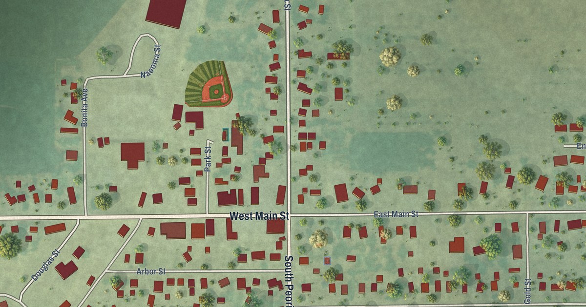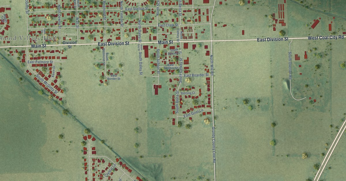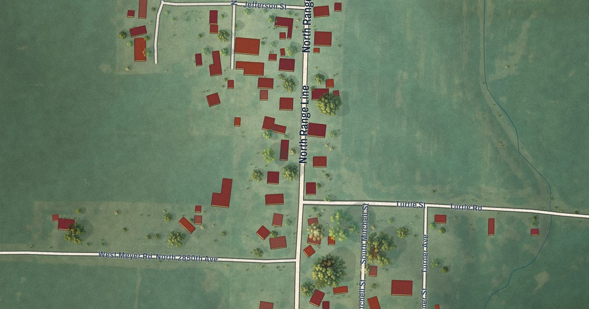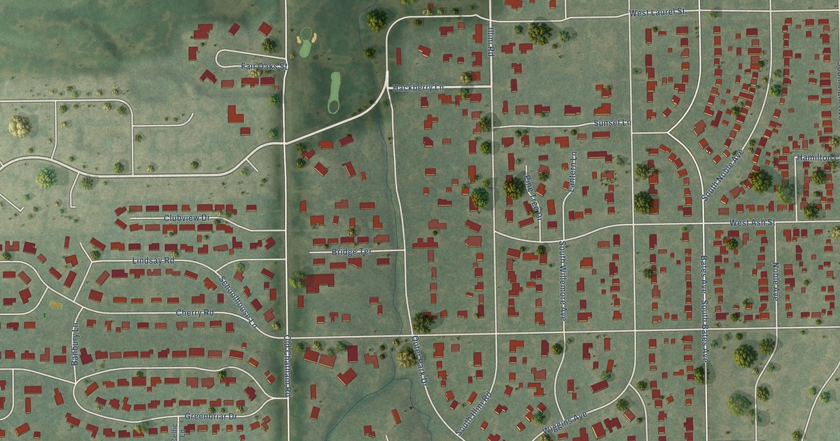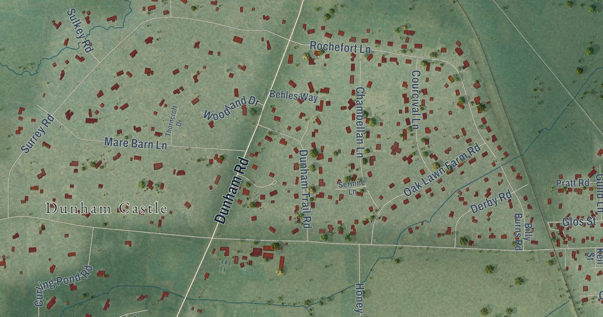
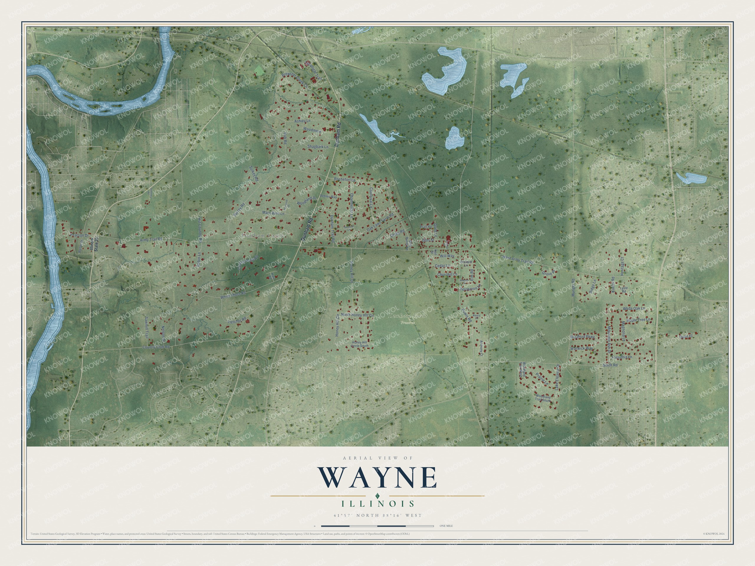
This beautifully detailed map of Wayne, Illinois was created in 2026 using aerial imagery combined with modern topographical, census, street and landmark data. It’s a one-of-a-kind view of Wayne that combines accurate data with a vintage aesthetic. The map shows every building in its true location, many of the roads carry their names, and the shaded topographic relief shows the shape of the land.
Explore an aerial view of Wayne, Illinois
On the map you’ll find Dunham Forest Preserve and Dunham Castle, along with Dunham Road, White Thorn Road, Honey Hill Circle, Mountain Ash Drive, White Oak Lane, Glos Street, Army Trail Road, West Army Trail Road, Powis Road, Brewster Creek Circle, and more. If you look closely you can even find your house accurately drawn in its correct location. Zoom in on the preview to look for yours.
Did you know this piece of Wayne, Illinois history?
From the Village of Wayne: "The first permanent settlers came to the area now comprising the Village of Wayne in 1834."
Take a closer look at the Wayne map
Street and place names on the Wayne, Illinois map
These names are printed on the map of Wayne, Illinois.
Places: Dunham Forest Preserve and Dunham Castle.
Streets and roads: Dunham Road, White Thorn Road, Honey Hill Circle, Mountain Ash Drive, White Oak Lane, Glos Street, Army Trail Road, West Army Trail Road, Powis Road, Brewster Creek Circle, Smith Road, Surrey Road.
More street names, A to Z
Anthony Court, Ashley Lane, Behles Way, Billy Burns Road, Bradford Parkway, Cedar Lane, Chambellan Lane, Churchill Lane, Country Club Road, Courcival Lane, Curling Pond Road, Dean Court, Derby Road, Dunham Trail Road, Elm Road, Fletcher Road, Forsythia Lane, Grove Place, Guild Lane, Haw Road, Heritage Court, Honey Hill Circle South, Honey Hill Drive, Hst Country Road, Hub Road, Illinois State 25, Kaelin Road, Keil Street, Lake Eleanor Drive, Lamplight Trail, Lysle Road, Magnolia Lane, Maple Tree Lane, Mare Barn Lane, Munger Road, Nancy Lane, Nelson Drive, North Honey Hill Circle, Oak Lawn Farm Road, Orchard Lane, Pearson Drive, Percheron Lane, Peterson Drive, Prairie Lane, Pratt Road, Ridge Lane, Robin Lane, Rochefort Lane, Sawmill Trail, School Street, Seminary Road, Serinne Lane, Shagbark Lane, Sulkey Road, Thorncroft Drive, Warwick Way, Weber Drive, Will Way, Woodland Drive, Woodland Trail South, Woodland Trail West, Woodmere.
See the Wayne, Illinois map on a wall
The Wayne map as an 18 x 24 inch print in a black frame.

This beautifully detailed map of Wayne makes an attractive addition to your office, library, or den, and it can even be used to teach children the geography and history of the area. It also makes a great gift for anyone who grew up in Wayne or moved away. When you’re done exploring, click here to get your copy of the Wayne map.