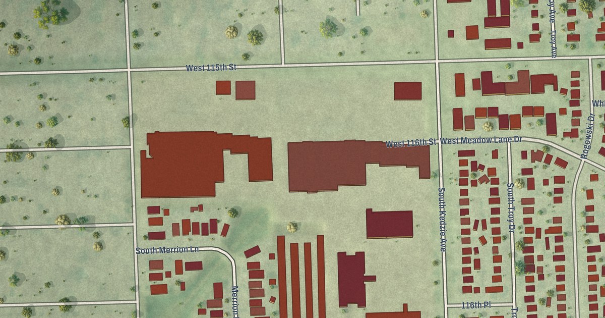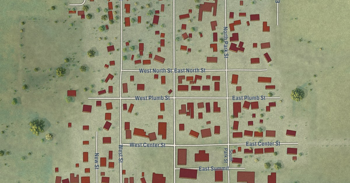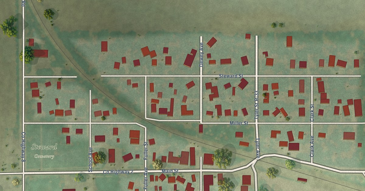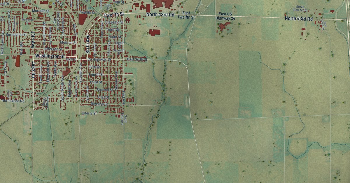
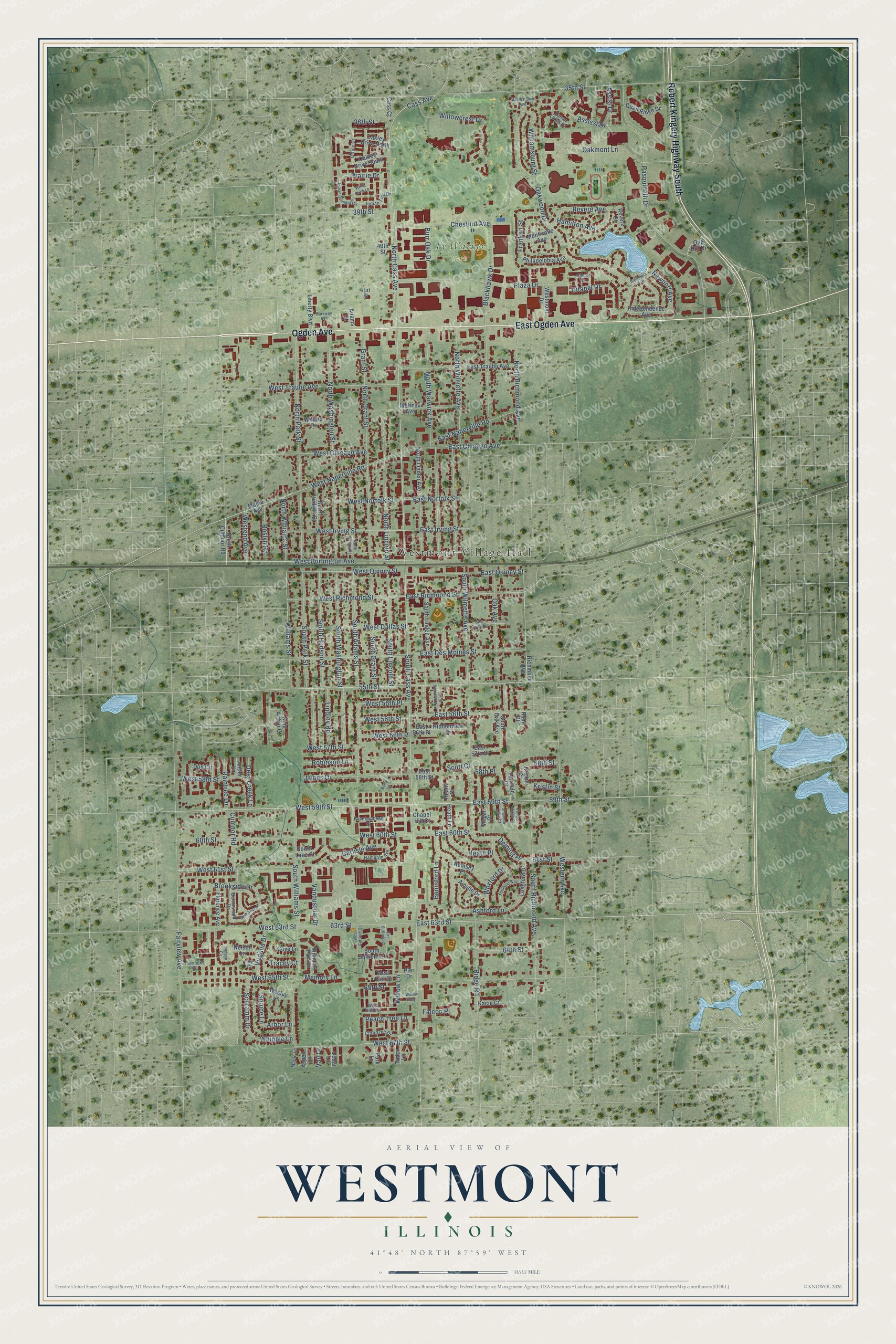
This beautifully detailed map of Westmont, Illinois was created in 2026 using aerial imagery combined with modern topographical, census, street and landmark data. It’s a one-of-a-kind view of Westmont that combines accurate data with a vintage aesthetic. The map shows every building in its true location, many of the roads carry their names, and the shaded topographic relief shows the shape of the land.
Explore an aerial view of Westmont, Illinois
On the map you’ll find Westmont Village Hall and Ty Warner Park, along with Ogden Avenue, East Ogden Avenue, Robert Kingery Highway South, 35th Street, West 59th Street, East 59th Street, 59th Street, 63rd Street, Cass Avenue, North Cass Avenue, and more. If you look closely you can even find your house accurately drawn in its correct location. Zoom in on the preview to look for yours.
Did you know this piece of Westmont, Illinois history?
From the Historical Marker Database: "Robert (Bob) W. Bernas served the Westmont Park District for forty-three selfless years. Thirty-nine of those years Bob served as President of the Park Board of Commissioners. During his tenure he helped the Westmont Park District flourish from 32 acres to more than 137 acres."
Take a closer look at the Westmont map
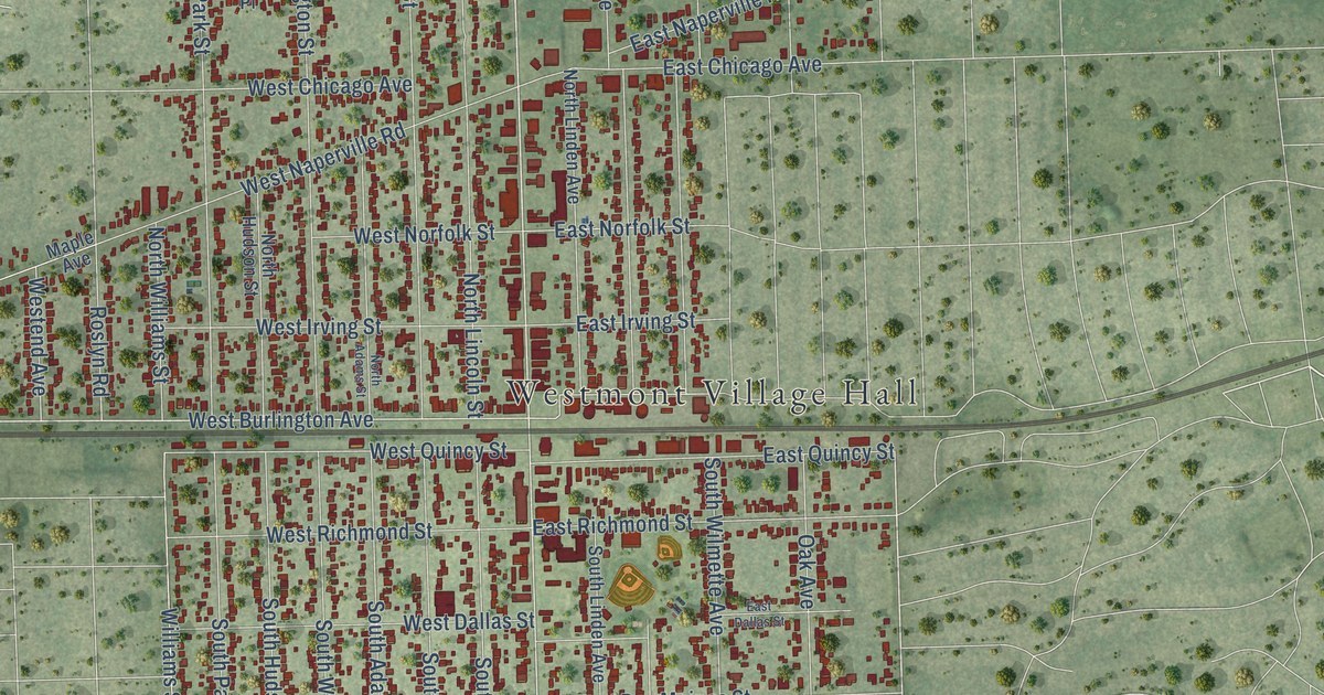
Street and place names on the Westmont, Illinois map
These names are printed on the map of Westmont, Illinois.
Places: Westmont Village Hall and Ty Warner Park.
Streets and roads: Ogden Avenue, East Ogden Avenue, Robert Kingery Highway South, 35th Street, West 59th Street, East 59th Street, 59th Street, 63rd Street, Cass Avenue, North Cass Avenue, East 63rd Street, South Richmond Avenue.
More street names, A to Z
36th Street, 39th Street, 40th Street, 41st Street, 55th Street, 58th Place, 58th Street, 60th Street, 61st Street, 64th Street, 65th Street, Adams Street, Ainslie Drive, Antler Lane, Arbor Lane, Ashford Lane, Aspen Lane, Assisi Drive, Assissi Drive, Baltimore Avenue, Barry Lane, Beechwood Drive, Beninford Lane, Blackhawk Drive, Brookside Drive, Burr Oak Drive, Buttonwood Drive, Carlisle Avenue, Cass Court, Cedar Lane, Chapel Hill Court, Chestnut Avenue, Citadel Circle, Citadel Drive, Cove Lane, Crab Tree Drive, Cumnor Road, Deer Creek Lane, Deming Place, Doe Circle, East 56th Place, East 56th Street, East 57th Street, East 58th Street, East 60th Street, East Chicago Avenue, East Dallas Street, East Des Moines Street, East Irving Street, East Naperville Road, East Norfolk Street, East Quincy Street, East Richmond Street, East Suffield Court, East Traube Avenue, Fairfield Court, Fairmont Court, Fairview Avenue, Falcon Place, Florence Avenue, Fordham Way, Fountainhead Drive, Franklin Street, Grant Street, Hamilton Avenue, Hampton Avenue, Heath Court, Heath Lane, Heath Place, Hiddenview Drive, Independence Avenue, Indian Boundary Drive, Indian Trail Drive, Ivy Court, James Drive, Jamestown Avenue, Kacie Court, King Arthur Court, Kristin Court, Kristin Street, Liberty Boulevard, Lindley Road, Longford Drive, Maple Avenue, Maple Lane, Megan Court, Melrose Avenue, Memory Lane, Monticello Avenue, Nelson Circle, Nelson Lane, Newport Avenue, North Adams Street, North Cumnor Road, North Grant Street, North Hudson Street, North Lincoln Street, North Linden Avenue, North Park Street, North Richmond Avenue, North Warwick Avenue, North Washington Street, North Williams Street, North Wilmette Avenue, Oak Avenue, Oak Hill Drive, Oakley Drive North, Oakley Drive South, Oakmont Lane, Oakwood Drive, Office Drive, Park Lane, Parkway Avenue, Pasquinelli Drive, Peach Tree Lane, Philadelphia Avenue, Pier Drive, Plaza Drive, Prairie Drive, Quail Ridge Drive, Raintree Lane, Revere Avenue, Revere Court, Richmond Avenue, Ridge Road, Robinson Lane, Roslyn Road, Rumsey Place, Ryan Court, Schramm Drive, Scott Court, Shannon Lake Court, South Adams Street, South Cass Avenue, South Grant Street, South Hudson Street, South Lake Court, South Lincoln Street, South Linden Avenue, South Oak Avenue, South Park Street, South Suffield Court, South Warwick Avenue, South Washington Street, South Williams Street, South Wilmette Avenue, Spruce Lane, Tartan Lakes Drive, Timber Ridge Court, Tracey Court, Tudor Lane, Vail Drive, Vandustrial Drive, Virginia Drive, Wesley Lane, West 55th Place, West 56th Place, West 56th Street, West 57th Street, West 58th Street, West 60th Street, West 61st Street, West 63rd Street, West 65th Street, West 66th Street, West 67th Street, West Burlington Avenue, West Chicago Avenue, West Dallas Street, Westend Avenue, Western Avenue, West Irving Street, Westmont Drive, West Naperville Road, West Norfolk Street, West Pier Drive, West Quincy Street, West Richmond Street, West Suffield Court, West Traube Avenue, Wexford Drive, Whipple Lane, White Birch Lane, Willard Place, Williamsburg Street, Williams Port Drive, Williams Street, Willowcrest Drive, Willow Lane, Willow Way.
See the Westmont, Illinois map on a wall
The Westmont map as an 18 x 24 inch print in a black frame.

This beautifully detailed map of Westmont makes an attractive addition to your office, library, or den, and it can even be used to teach children the geography and history of the area. It also makes a great gift for anyone who grew up in Westmont or moved away. When you’re done exploring, click here to get your copy of the Westmont map.