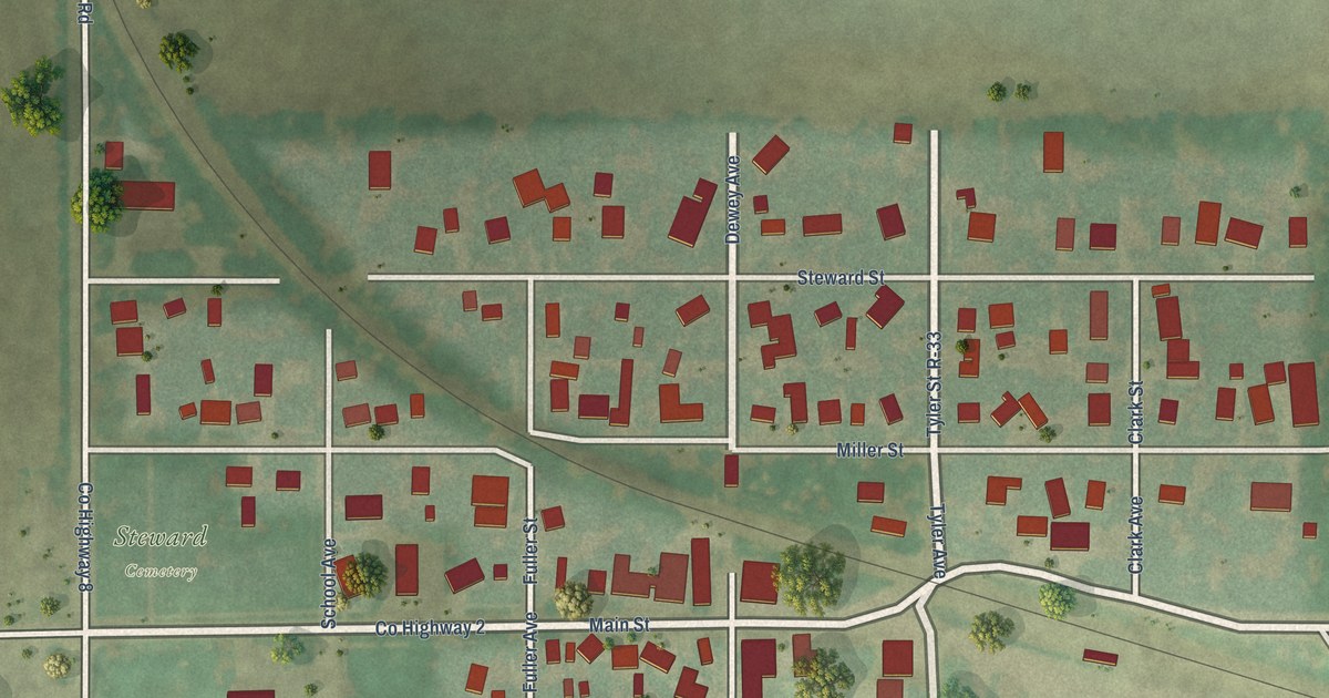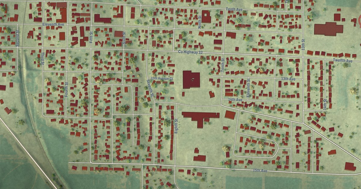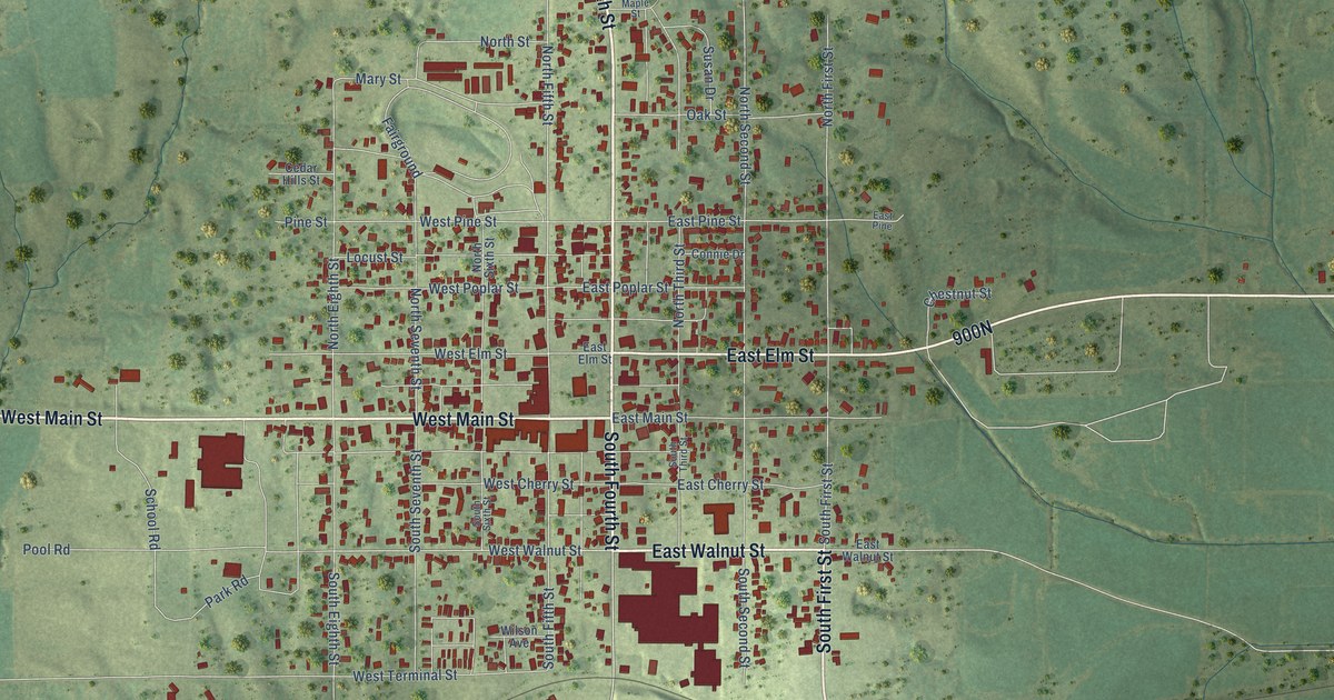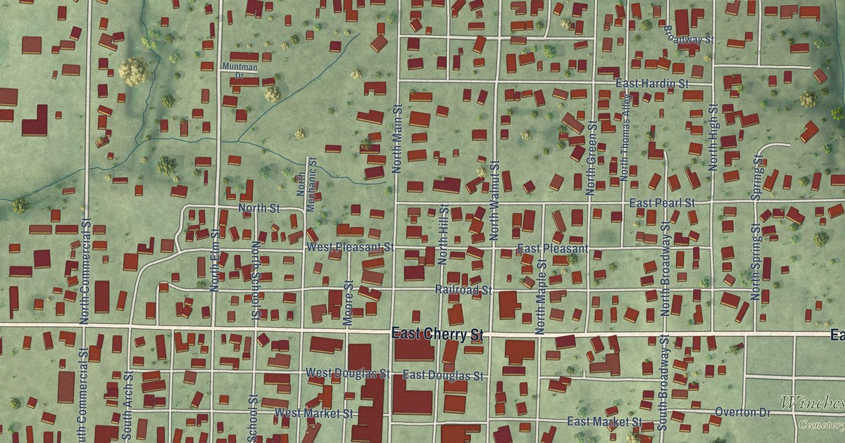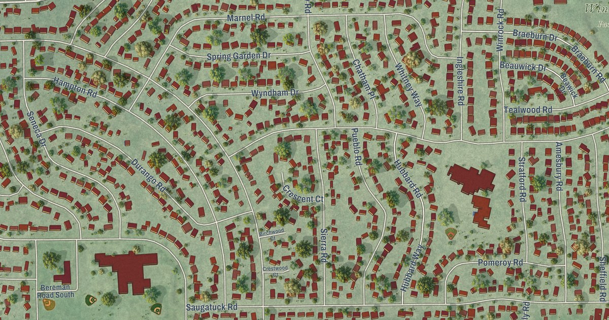
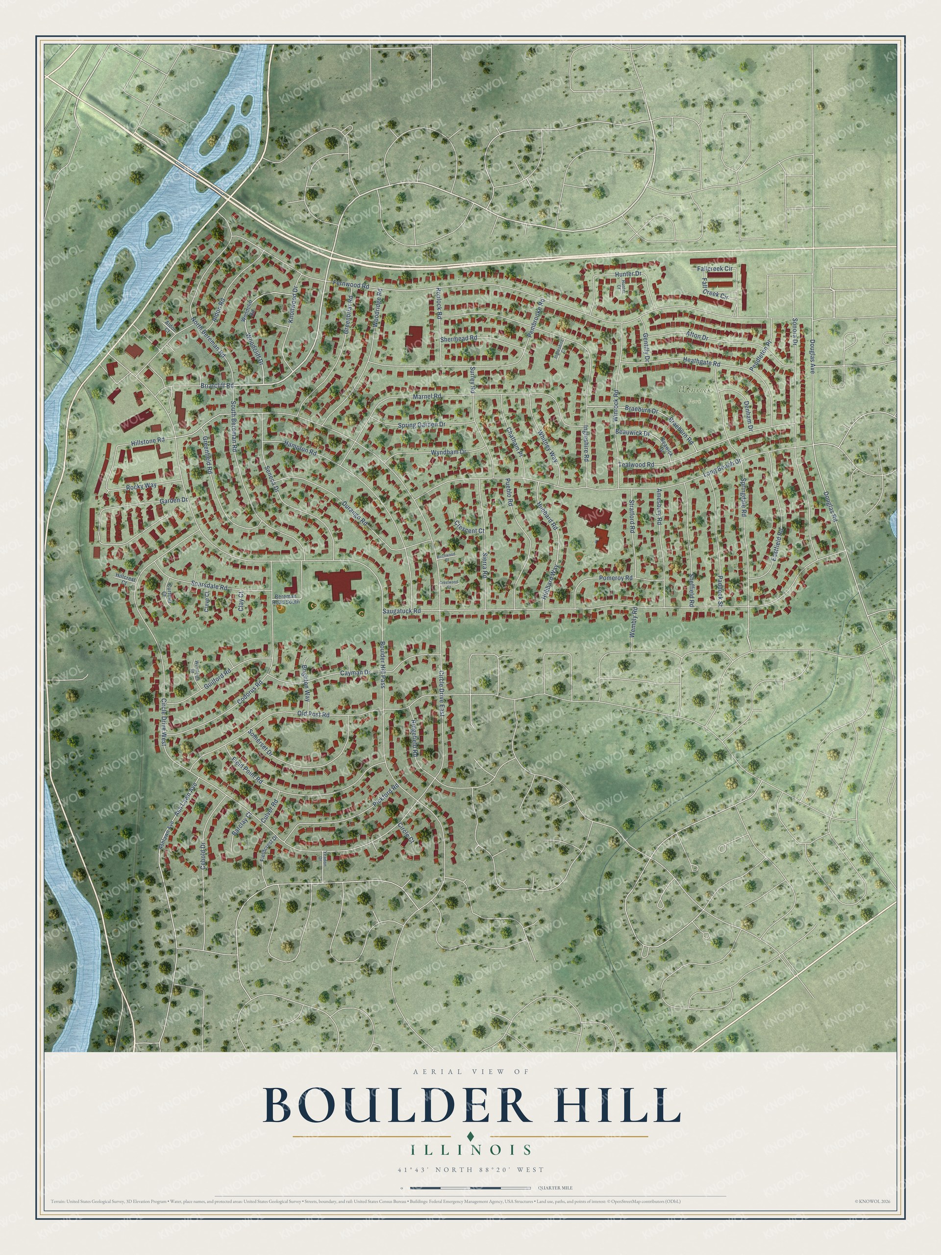
This beautifully detailed map of Boulder Hill, Illinois was created in 2026 using aerial imagery combined with modern topographical, census, street and landmark data. It's a modern aerial view of Boulder Hill in Kendall County, Illinois, that combines modern data with a vintage aesthetic. The roads feature printed names, and if you look closely you can find your exact house accurately shown in its correct location.
Explore an aerial view of Boulder Hill, Illinois
On this map you'll find Winrock Park, Briarcliff Road, Boulder Hill Pass, Fernwood Road, Saugatuck Road, Long Beach Drive, Marnel Road, Ingleshire Road, Old Post Road, Springdale Road, Hampton Road, Douglas Avenue, and more. Each red shape is a building, so zoom in on the preview and look for yours.
Boulder Hill is a community in Kendall County. The Census Bureau counted 8,394 people here in 2020. The map prints the town name in its title panel, with the coordinates below it.
Take a closer look at the Boulder Hill map
Names on this map
These names are printed on this map.
Places: Winrock Park.
Streets and roads: Briarcliff Road, Boulder Hill Pass, Fernwood Road, Circle Drive East, Circle Drive West, Saugatuck Road, Long Beach Drive, Marnel Road, Ingleshire Road, Old Post Road, Springdale Road, Hampton Road.
More street names, A to Z
Afton Drive, Aldon Court, Aldon Road, Amesbury Road, Ash Lawn Avenue, Ashlawn Avenue, Barclay Court, Beauwick Drive, Beawick Drive, Bereman Road South, Birchwood Court, Braeburn Drive, Braeburn Road, Brighton Way, Cayman Drive, Cebold Drive, Chatham Place, Circle Court, Clay Court, Codorus Road, Crescent Court, Crestwood Court, Creve Court, Culver Road, Curtmar Court, Denham Drive, Douglas Avenue, Douglas Road, Durango Road, Eastfield Road, Fallcreek Circle, Fall Creek Circle, Fieldcrest Drive, Field Point Road, Garden Drive, Gentilly Drive, Greenbriar Road, Greenfield Road, Guilford Road, Heathgate Road, Hillcrest Court, Hillstone Road, Hubbard Road, Hubbard Way, Hunter Court, Hunter Drive, Ingleshire Court, Knollwood Drive, North Bereman Road, Paddock Street, Pembrooke Road, Pendleton Place, Pickford Road, Pomeroy Road, Pueblo Road, Ridgefield Road, Rocky Way, Roulock Road, Scarsdale Road, Seneca Drive, Sheffield Road, Shermead Road, Sierra Road, Somerset Drive, Sonora Drive, South Bereman Road, Spring Garden Drive, Stratford Road, Surrey Road, Tealwood Road, Wembly Road, Westleigh Court, Whitney Way, Winrock Road, Woodcliff Drive, Woodcliff Road, Woodridge Road, Wyndham Drive, Yeadon Drive.
Created by KNOWOL in 2026. The buildings are small red shapes, the roads carry their printed names, and shaded relief shows the shape of the land. The title panel reads "AERIAL VIEW OF BOULDER HILL ILLINOIS" with 41°43' NORTH 88°20' WEST.
It looks right in a kitchen, an office or a den, and it's a gift for anyone who grew up in Boulder Hill or moved away. Open the preview and find your street. See sizes and frames for the Boulder Hill map.