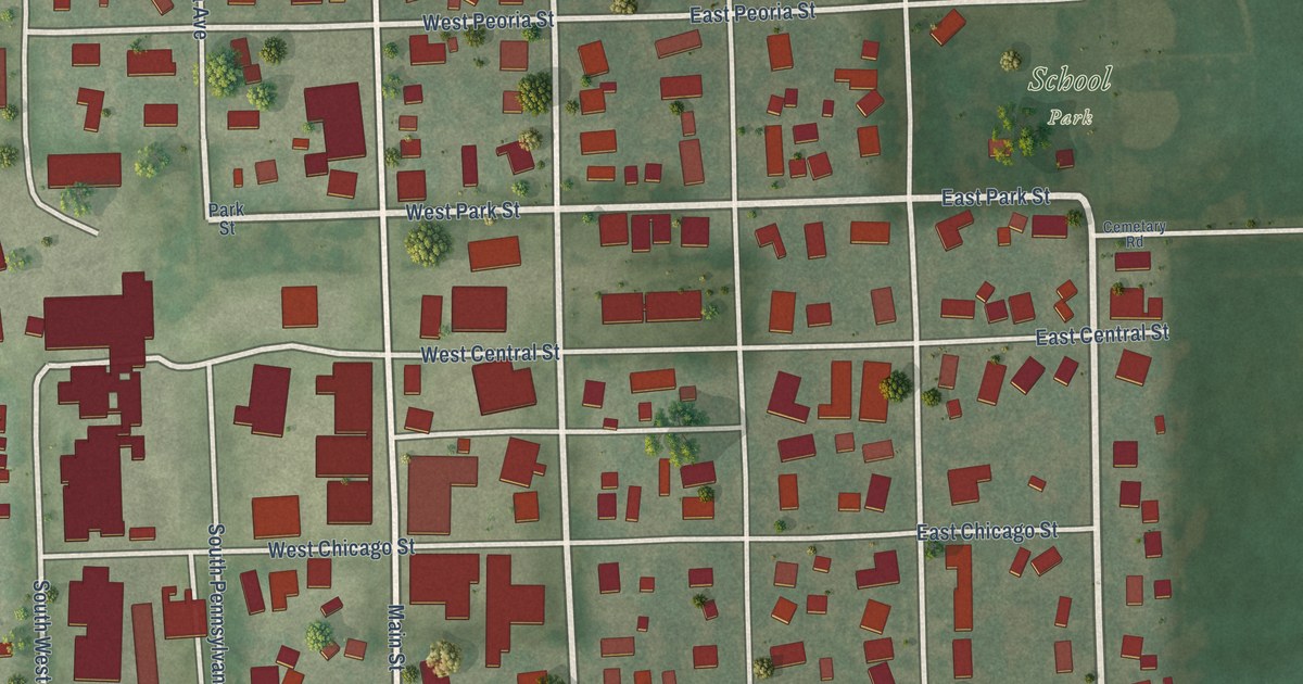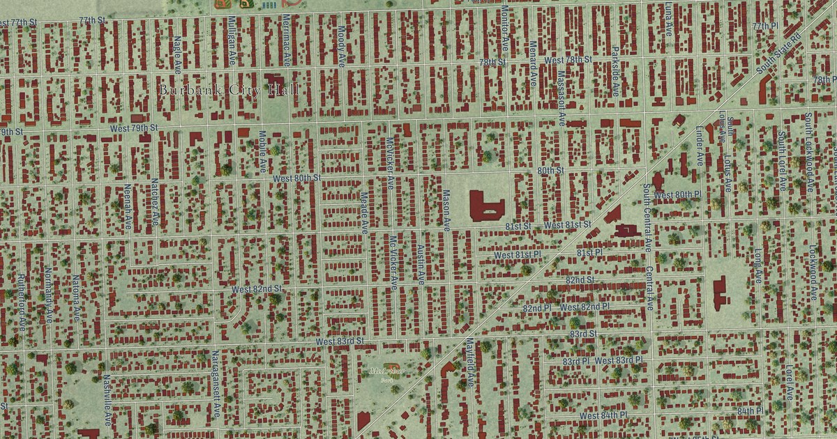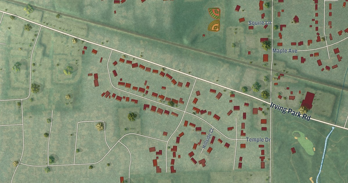
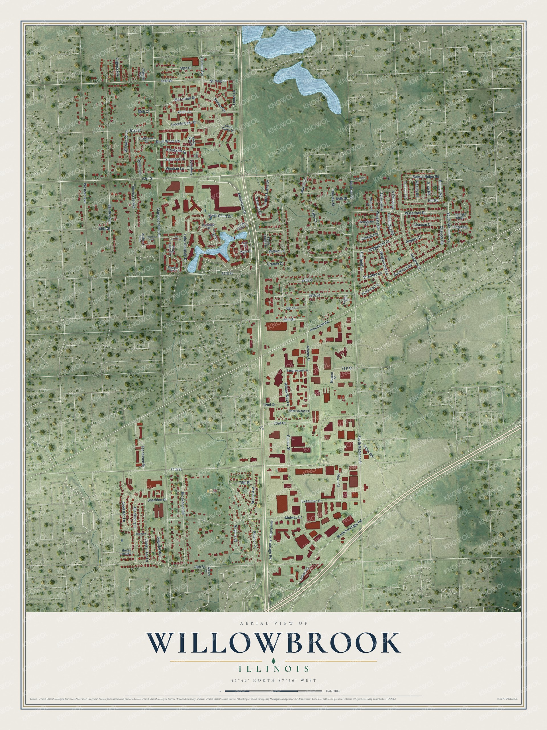
This beautifully detailed map of Willowbrook, Illinois was created in 2026 using aerial imagery combined with modern topographical, census, street and landmark data. It’s a one-of-a-kind view of Willowbrook that combines accurate data with a vintage aesthetic. The map shows every building in its true location, many of the roads carry their names, and the shaded topographic relief shows the shape of the land.
Explore an aerial view of Willowbrook, Illinois
On the map you’ll find 63rd Street, Lake Hinsdale Drive, Americana Drive, North Frontage Road, 59th Street, Soper Road, Quincy Street, South Madison Street, Clarendon Hills Road, 75th Street, Plainfield Road, Ridgemoor Drive, and more. If you look closely you can even find your house accurately drawn in its correct location. Zoom in on the preview to look for yours.
Did you know this piece of Willowbrook, Illinois history?
Soon after Willowbrook incorporated, Illinois raised the bar for new villages. From then on an area needed at least 400 residents before it could incorporate, so a community as small as Willowbrook was in 1960 could no longer have become a village.
Take a closer look at the Willowbrook map
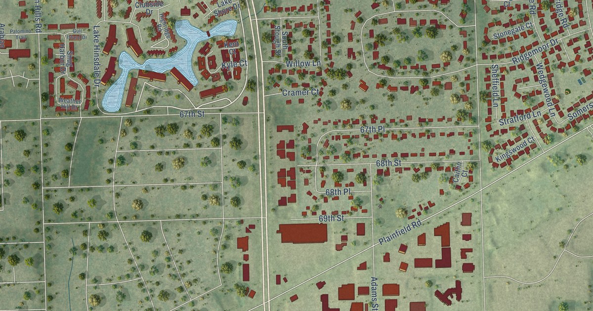
Street names on the Willowbrook, Illinois map
These names are printed on the map of Willowbrook, Illinois.
Streets and roads: 63rd Street, Lake Hinsdale Drive, Americana Drive, North Frontage Road, 59th Street, Soper Road, Quincy Street, South Madison Street, Clarendon Hills Road, 75th Street, Plainfield Road, Ridgemoor Drive.
More street names, A to Z
58th Place, 60th Court, 61st Street, 64th Street, 65th Street, 67th Place, 67th Street, 68th Place, 68th Street, 69th Street, 71st Street, 72nd Court, 73rd Court, 75th Place, 79th Street, Adams Street, Alabama Avenue, Appletree Lane, Arabian Cirle, Arlene Avenue, Ascot Lane, Bentley Avenue, Bentwood Lane, Blackberry Lane, Breton Lakes Drive, Briar Road, Brookbank Road, Brookside Lane, Caitlin Court, Cambridge Road, Canterbury Lane, Chatelaine Court, Chaucer Court, Chaucer Road, Cherry Tree Lane, Cherrywood Lane, Clubside Drive, Cramer Court, Creekside Court, Eleanor Place, Elm Street, Emerald Court, Essex Court, Executive Drive, Frontage Road, Garfield Ridge, Gull Island Drive, Hawthorne Lane, Highridge Road, Hill Road, Holmes Avenue, Honey Locust Lane, Joliet Road, Kent Court, Kingery Highway, Kingswood Court, Knoll Valley Drive, Knoll Way Drive, Knoll Wood Road, Kyle Court, Lake Shore Drive, Lane Court, Laurel Lane, Lincoln Oaks Drive, Macarthur Drive, Madison Street, Martin Drive, Meadow Lane, Midway Drive, Monroe Street, North Court Drive, Palomino Trail, Plaza Court, Raleigh Road, Ridgefield Lane, Rodgers Street, Rogers Court, Sheffield Lane, Sheridan Drive, Snug Harbor Drive, Somerset Road, South Garfield Avenue, South Stough Street, Squire Lane, Stanhope Drive, Stewart Drive, Stirling Lane, Stonegate Court, Stratford Lane, Sugarbush Lane, Sunset Ridge Road, Tanglewood Lane, Tennessee Avenue, Tennessee Drive, Thurlow Street, Tremont Street, Virginia Avenue, Virginia Court, Waterford Court, Waterford Drive, Weather Hill Drive, Wedgewood Lane, Wesley Road, Western Avenue, William Drive, Willow Lane, Willowood Lane, Willow Way Lane, Windsor Lane, Wingate Road, Woodgate Court.
See the Willowbrook, Illinois map on a wall
The Willowbrook map as an 18 x 24 inch print in a black frame.

This beautifully detailed map of Willowbrook makes an attractive addition to your office, library, or den, and it can even be used to teach children the geography and history of the area. It also makes a great gift for anyone with Willowbrook roots. When you’re done exploring, click here to get your copy of the Willowbrook map.