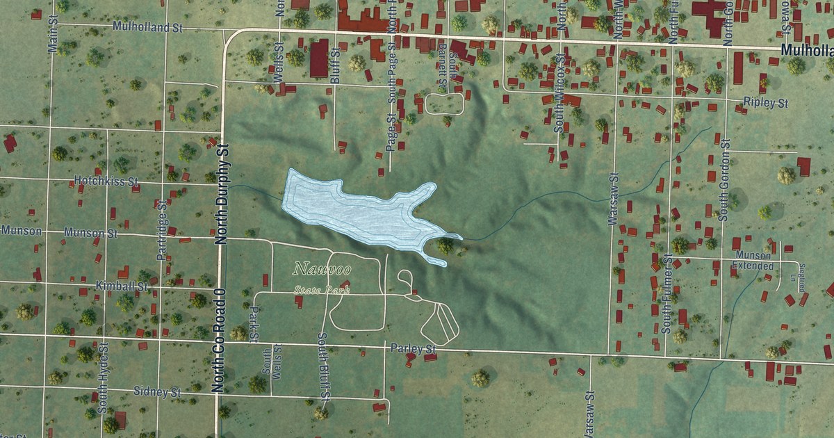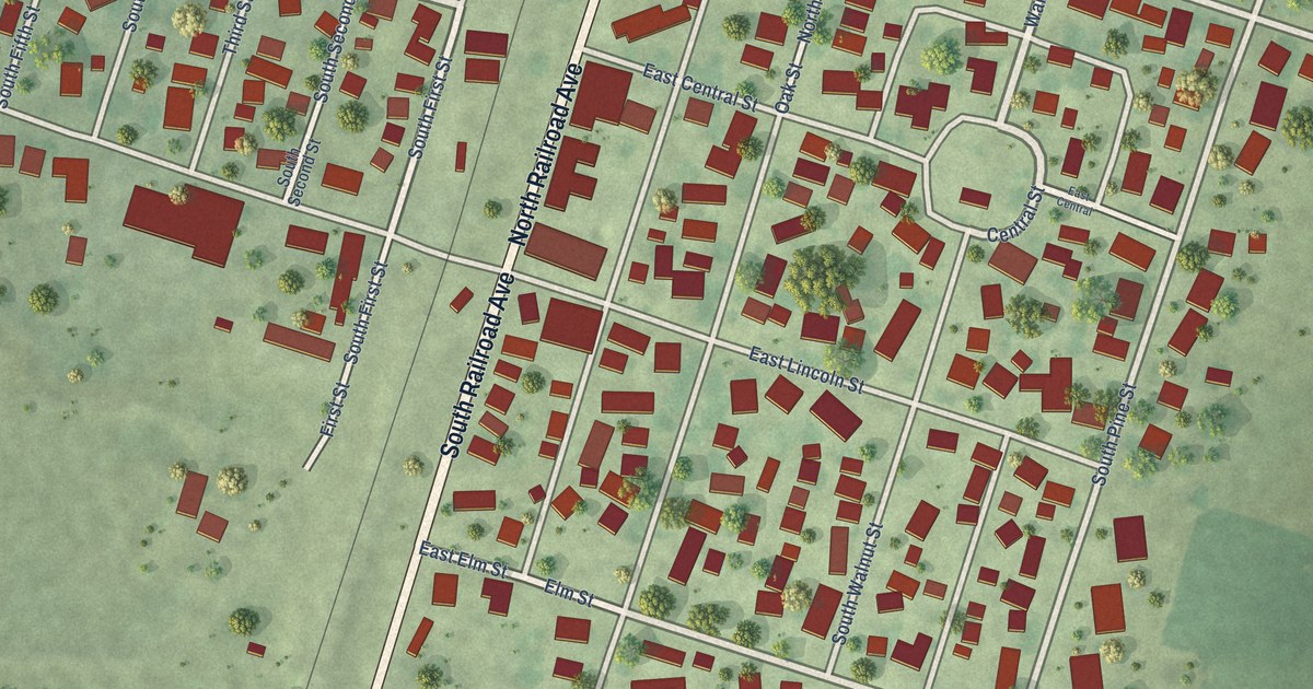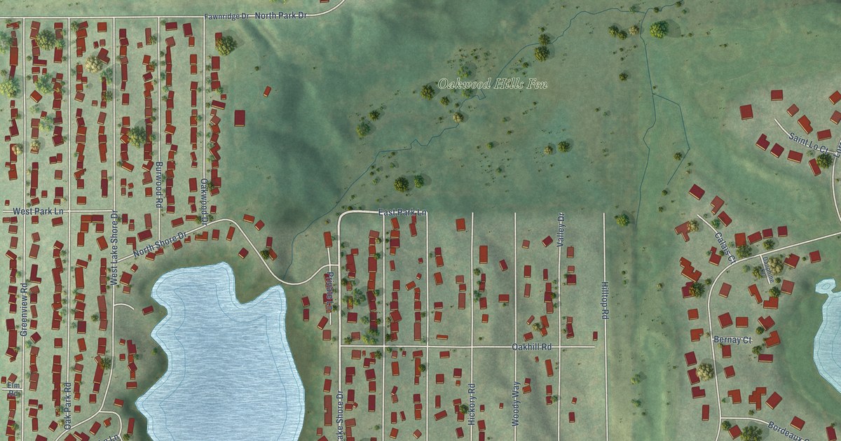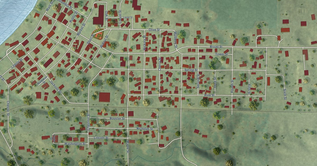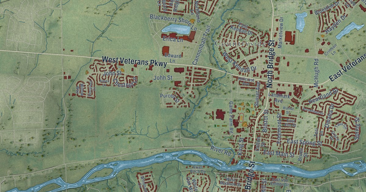
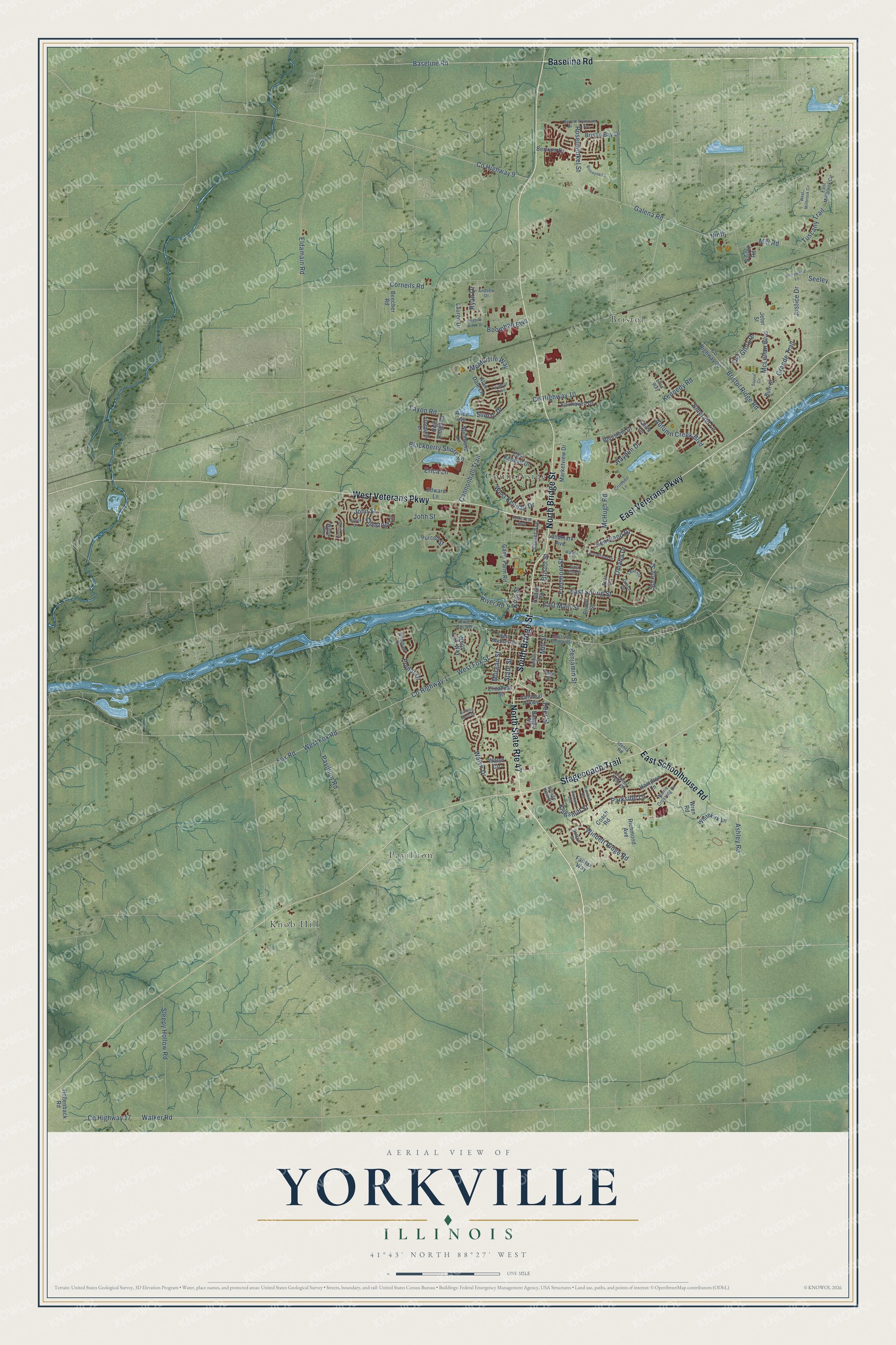
This beautifully detailed map of Yorkville, Illinois was created in 2026 using aerial imagery combined with modern topographical, census, street and landmark data. It's a modern aerial view of Yorkville in Kendall County, Illinois, that combines modern data with a vintage aesthetic. The roads feature printed names, and if you look closely you can find your exact house accurately shown in its correct location.
Explore an aerial view of Yorkville, Illinois
On this map you'll find Bristol, Countryside, Knob Hill, Pavillion, North Bridge Street, South Bridge Street, East Veterans Parkway, West Veterans Parkway, East Schoolhouse Road, Stagecoach Trail, Baseline Road, Old Glory Drive, and more. Each red shape is a building, so zoom in on the preview and look for yours.
Here is a piece of Yorkville history, in the words of the record. The Historical Encyclopedia of Illinois puts it this way: "YORKVILLE, the county-seat of Kendall County, situated on the south branch of Fox River and on the Chicago, Burlington & Quincy Railroad, some 12 miles southwest of Aurora."
Yorkville is a city in Kendall County. The Census Bureau counted 21,533 people here in 2020.
Take a closer look at the Yorkville map
Names on this map
These names are printed on this map.
Places: Bristol, Countryside, Knob Hill and Pavillion.
Streets and roads: North Bridge Street, North State Route 47, South Bridge Street, East Veterans Parkway, West Veterans Parkway, East Schoolhouse Road, Stagecoach Trail, Baseline Road, Old Glory Drive, County Highway 10, County Highway 9, Spring Street.
More street names, A to Z
Alan Dale Lane, Alice Avenue, Andrew Drive, Arrowhead Drive, Ashley Road, Aspen Lane, Autumn Creek Boulevard, Badger Street, Bailey Road, Banbury Avenue, Barrett Drive, Beecher Road, Benjamin Street, Berrywood Lane, Bertram Drive, Biscayne Lane, Blackberry Shore Lane, Bluestem Drive, Boombah Boulevard, Bristol Bay Drive, Bristol Ridge Road, Bristol Street, Bruell Street, Burning Bush Drive, Burr Street, Cannonball Trail, Chestnut Lane, Coach Road, Colonial Parkway, Colton Street, Corneils Road, Country Hills Drive, County Highway 1, County Highway 17, County Highway 20, Crimson Lane, Deer Street, East Elm Street, East Kendall Drive, East Main Street, East Millbrook Circle, East Spring Street, East Van Emmon Street, Edward Lane, Eldamain Road, Elizabeth Street, Emerald Lane, Erica Lane, Evergreen Lane, Fairfax Way, Fairhaven Drive, Faxon Road, Fox Road, Freemont Street, Galena Road, Game Farm Road, Grace Drive, Grande Trail, Hampton Lane, Hayden Drive, Heartland Drive, Heustis Street, High Ridge Road, Hillcrest Avenue, Hollenback Road, Identa Road, Iroquois Lane, Jeter Street, Johh Street, John Street, Justice Drive, Kennedy Road, Kingsmill Street, King Street, Landmark Avenue, Lauren Drive, Lilac Way, Marketview Drive, McHugh Road, McLellan Boulevard, McMurtrie Way, Mill Road, Mill Street, Morgan Street, Ninth, Northland Lane, Olive Lane, Olsen Street, Omaha Drive, Parkside Lane, Pavillion Road, Plymouth Avenue, Poplar Drive, Prairie Crossing Drive, Purcell Street, Raintree Road, Richmond Avenue, River Birch Drive, River Road, Rosenwinkel Street, Ryan Drive, Seeley, Shadow Wood Drive, Sleepy Hollow Road, Squire Circle, State Street, Sumac Drive, Sunset Avenue, Sutton Street, Taus Circle, Teri Lane, Tuscany Trail, Twinleaf Trail, Village View Drive, Walker Road, Walnut Street, Walsh Circle, Walsh Drive, West Fox Road, West Fox Street, West Kendall Drive, West Madison Street, West Millbrook Circle, Whitekirk Lane, White Oak Way, Willow Way, Windett Ridge Road, Windham Circle, Wren Road.
Created by KNOWOL in 2026. The buildings are small red shapes, the roads carry their printed names, and shaded relief shows the shape of the land. The title panel reads "AERIAL VIEW OF YORKVILLE ILLINOIS" with 41°43' NORTH 88°27' WEST.
It suits a den, a classroom or a front hall, and it makes a gift for anyone with Yorkville roots. Open the preview and find the block you know. See sizes and frames for the Yorkville map.