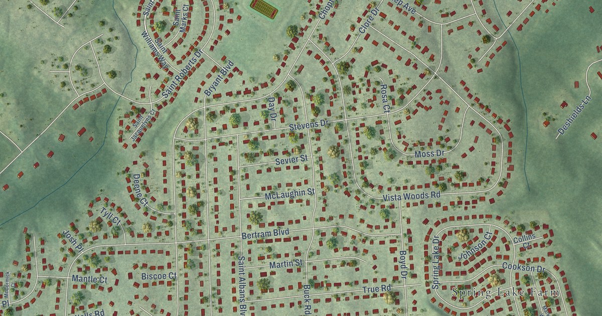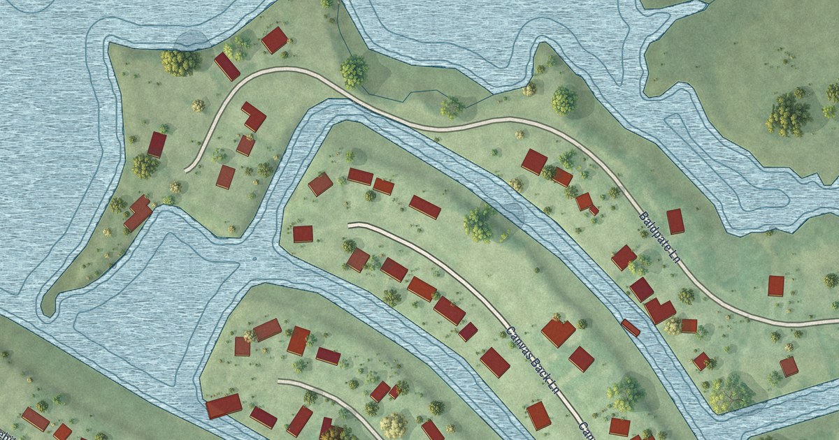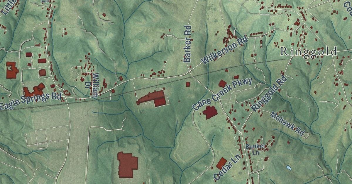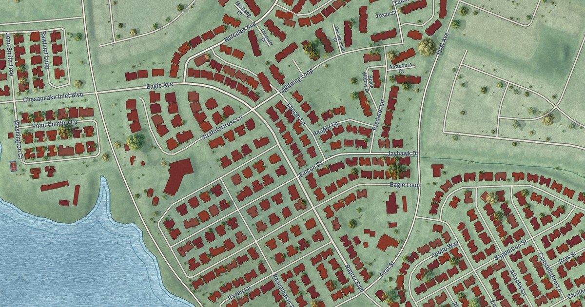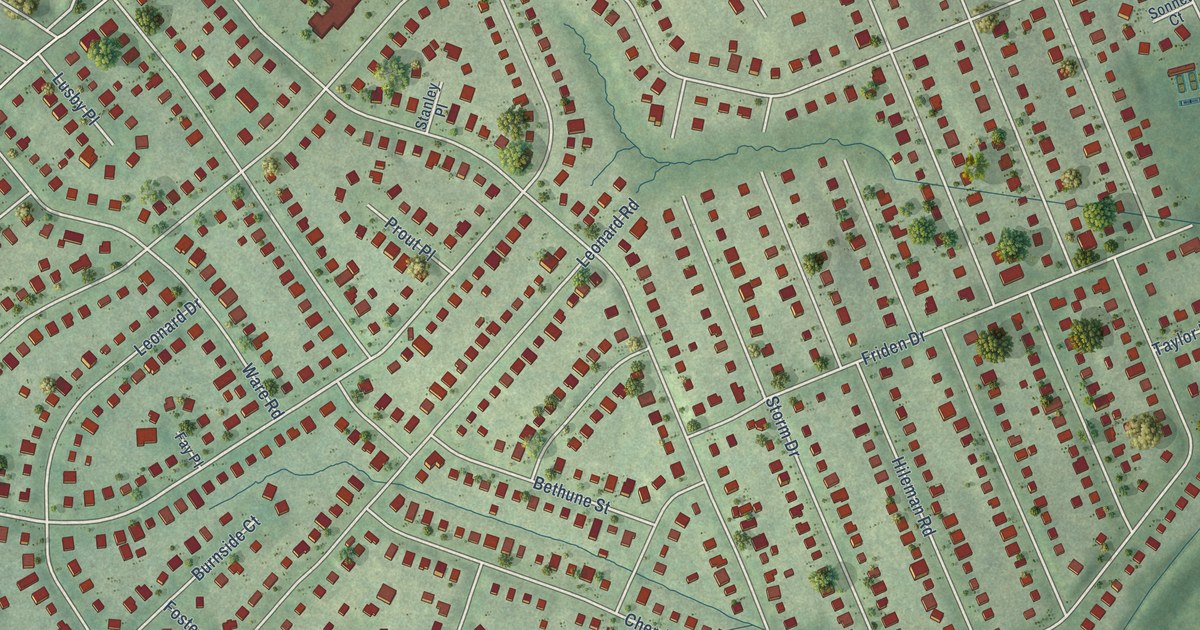
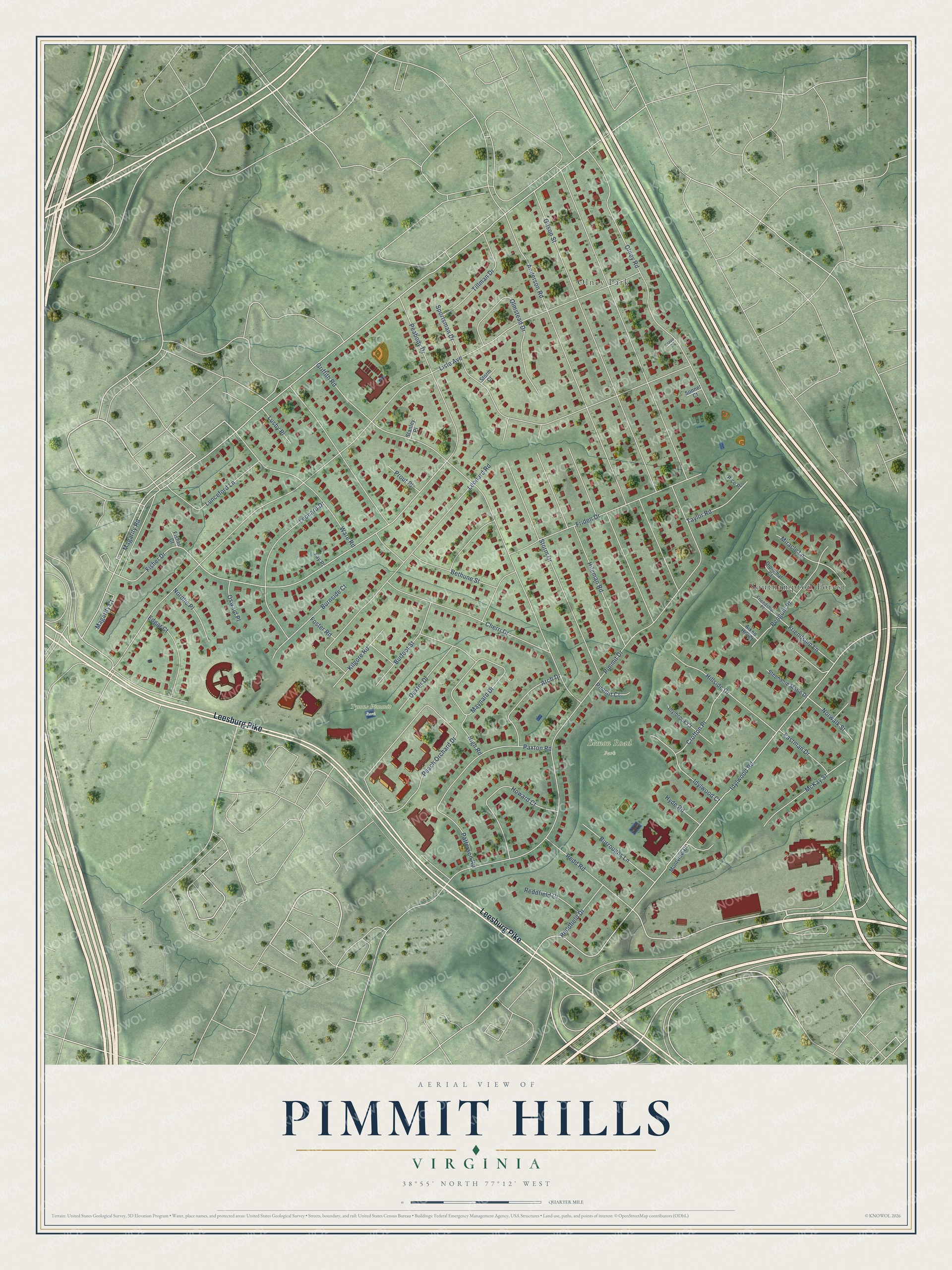
This beautifully detailed map of Pimmit Hills, Virginia was created in 2026 using aerial imagery combined with modern topographical, census, street and landmark data. It’s a one-of-a-kind view of Pimmit Hills that combines accurate data with a vintage aesthetic. The map shows every building in its true location, many of the roads carry their names, and the shaded topographic relief shows the shape of the land.
Explore an aerial view of Pimmit Hills, Virginia
On the map you’ll find Lemon Road Park, Tysons Pimmit Park, Olney Park, and Southampton Forest, along with Leesburg Pike, Fisher Drive, Pimmit Drive, Magarity Road, Lisle Avenue, Idylwood Road, Griffith Road, Anderson Road, and more. If you look closely you can even find your house accurately drawn in its correct location. Zoom in on the preview to look for yours.
Did you know this piece of Pimmit Hills, Virginia history?
From the Pimmit Hills Citizens Association: "The Pimmit Hills Citizens Association was organized in March 1951 by a group of 60 residents."
Take a closer look at the Pimmit Hills map
Street and place names on the Pimmit Hills, Virginia map
These names are printed on the map of Pimmit Hills, Virginia.
Places: Lemon Road Park, Tysons Pimmit Park, Olney Park and Southampton Forest.
Streets and roads: Leesburg Pike, Fisher Drive, Pimmit Drive, Magarity Road, Lisle Avenue, Idylwood Road, Griffith Road, Anderson Road, Cherri Drive, Sportsman Drive, Hillside Drive, Gilson Street.
More street names, A to Z
Aiken Hill Court, Arch Drive, Bethune Street, Burfoot Street, Burnside Court, Burroughs Lane, Crofton Place, Dexter Drive, Diplomat Court, Eastman Drive, Edgar Court, Fay Place, Fisher Court, Foster Road, Friden Drive, Friendship Lane, Friendship Place, Hileman Road, Howard Court, Hyde Road, Idylbrook Court, Idylwood Court, Kilgore Road, Knapp Court, Leonard Drive, Leonard Road, Lunceford Lane, Lusby Place, Magarity Court, Maynard Drive, McKay Street, Miracle Lane, Montview Court, Nigh Road, Nordlie Place, Norwalk Street, Olmstead Drive, Olney Road, Oswald Place, Patterson Road, Paxton Road, Peabody Drive, Peach Orchard Drive, Penguin Place, Pice Place, Pimmit Court, Prout Place, Reddfield Court, Reddfield Drive, Redd Road, Sonnet Court, Stanley Place, Stephanie Marie Drive, Storm Court, Storm Drive, Taylor Road, Tillman Drive, Ware Road.
See the Pimmit Hills, Virginia map on a wall
The Pimmit Hills map as an 18 x 24 inch print in a black frame.

This beautifully detailed map of Pimmit Hills makes an attractive addition to your office, library, or den, and it can even be used to teach children the geography and history of the area. It also makes a great gift for anyone who grew up in Pimmit Hills or moved away. When you’re done exploring, click here to get your copy of the Pimmit Hills map.