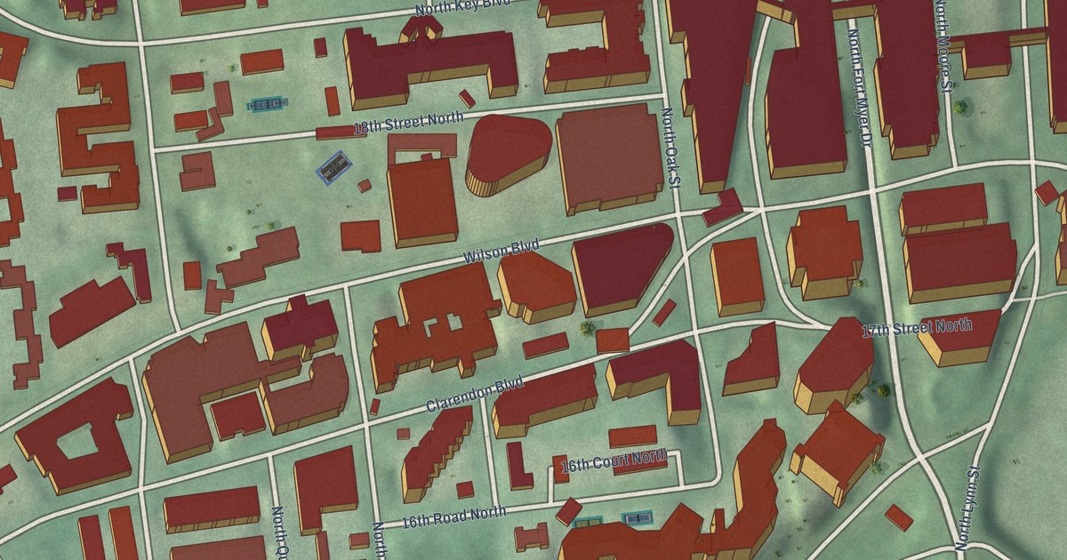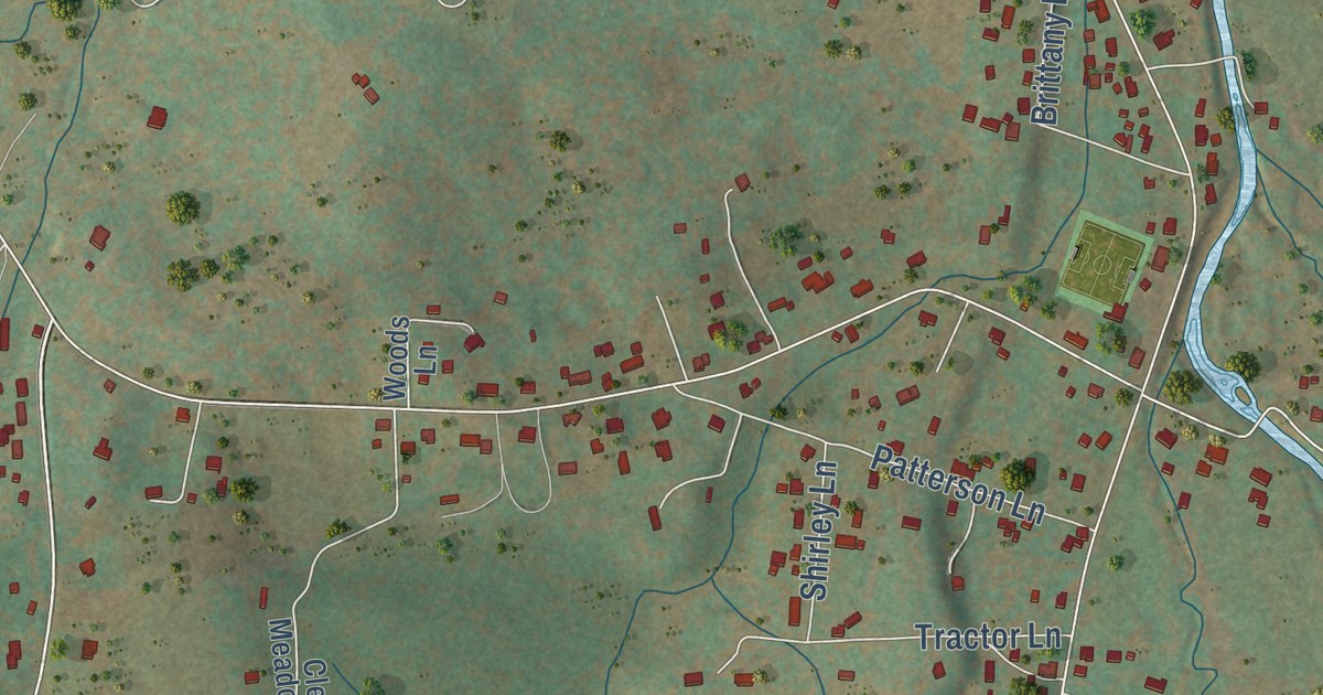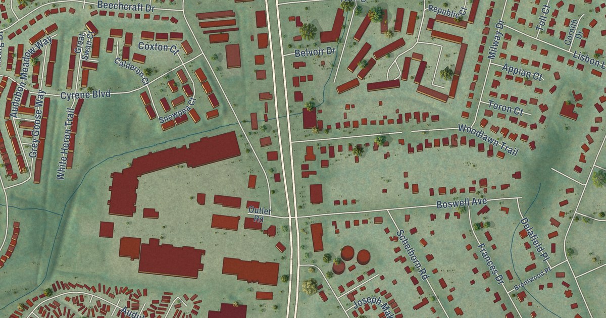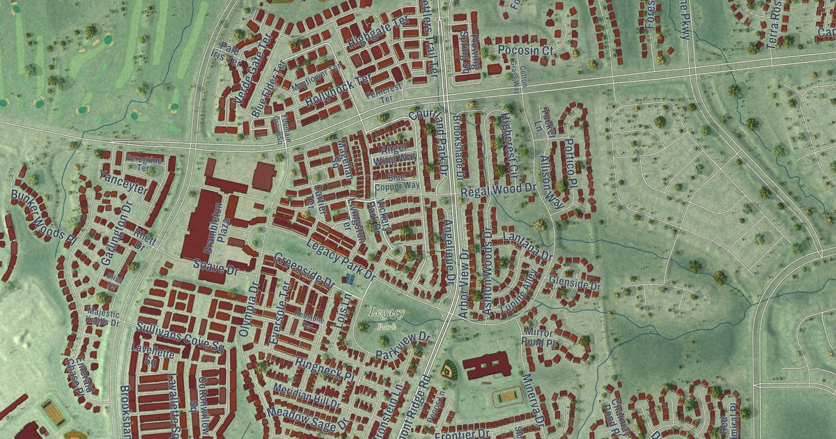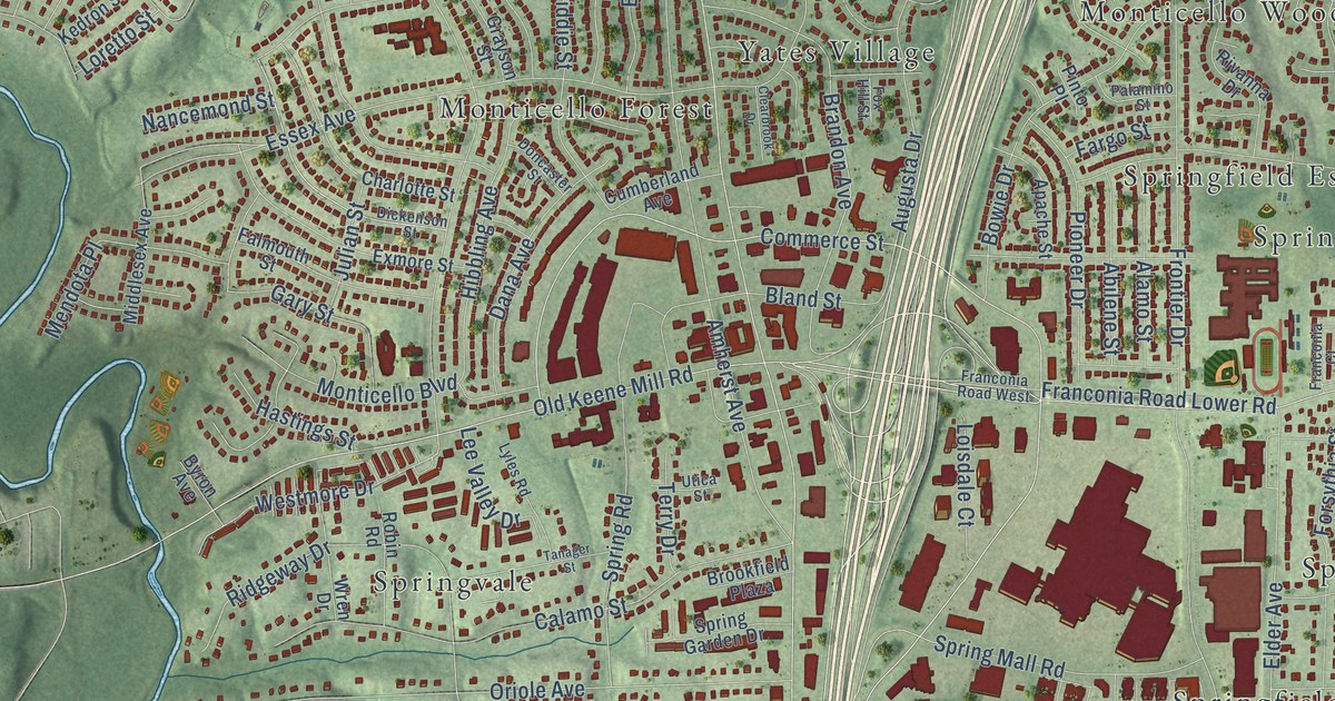
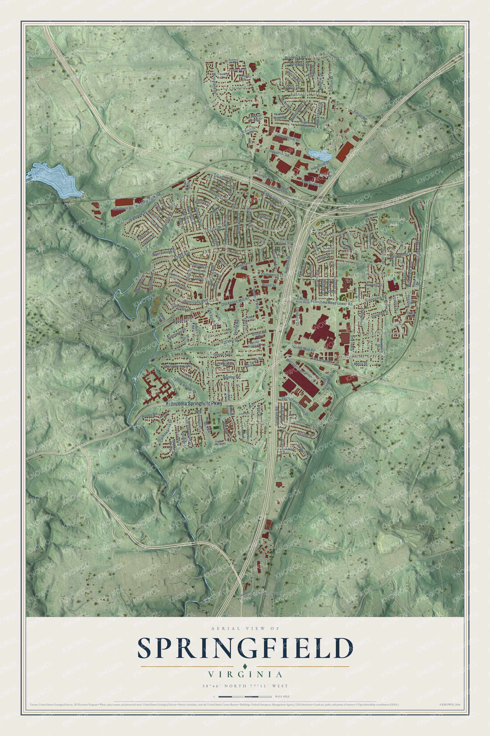
This beautifully detailed map of Springfield, Virginia was created in 2026 using aerial imagery combined with modern topographical, census, street and landmark data. It’s a one-of-a-kind view of Springfield that combines accurate data with a vintage aesthetic. The map shows every building in its true location, many of the roads carry their names, and the shaded topographic relief shows the shape of the land.
Explore an aerial view of Springfield, Virginia
On the map you’ll find Franconia Park, Beverly Forest, Edsall Park, Fair Vernon, Indian Springs, Leewood, Loisdale Estates, Lynbrook, Monticello Forest, Monticello Woods, Newington, Springfield Estates, and more. If you look closely you can even find your house accurately drawn in its correct location. Zoom in on the preview to look for yours.
Did you know this piece of Springfield, Virginia history?
From the Burke Connection: "Somewhere near the present day VRE station, a Springfield whistlestop station once occupied the land."
Take a closer look at the Springfield map
Street and place names on the Springfield, Virginia map
These names are printed on the map of Springfield, Virginia.
Places: Franconia Park, Beverly Forest, Edsall Park, Fair Vernon, Indian Springs, Leewood, Loisdale Estates, Lynbrook, Monticello Forest, Monticello Woods, Newington, Springfield Estates, Springfield Forest, Springfield Square, Springfield Station, Springvale, Villa Del-Ray, Yates Village and York manor.
Streets and roads: Franconia Springfield Parkway, Hooes Road, Metropolitan Center Drive, Brandon Avenue, Loisdale Road, Backlick Road, Highland Street, Franconia Road, Essex Avenue, Frontier Drive, Floyd Avenue, Commerce Street.
More street names, A to Z
Abilene Street, Accomac Street, Accotink Park Road, Alamo Street, Alma Lane, Amelia Street, Amherst Avenue, Anders Terrace, Apache Street, Ash Drive, Atteentee Road, Augusta Drive, Bath Street, Belinger Court, Ben Franklin Road, Bethnal Court, Beverly Lane, Beverly Park Drive, Blacksburg Road, Bland Street, Bonniemill Lane, Bostwick Drive, Bowie Drive, Braddock Mews Place, Braddock Road, Brookfield Plaza, Brunswick Street, Burwell Street, Byron Avenue, Cabin John Road, Calamo Street, Carolina Place, Charlotte Street, Clearbrook Drive, Clifton Street, Cloud Drive, Commercial Drive, Constance Drive, Constantine Avenue, Cory Place, Craig Street, Creek Crest Way, Cumberland Avenue, Dalton Road, Dana Avenue, Danville Street, Darby Lane, Deer Ridge Trail, Dickenson Street, Doncaster Street, Dublin Avenue, Dunn Court, Edsall Road, Elder Avenue, Electronic Drive, Ellwood Place, Erving Street, Evanston Road, Exmore Street, Falmouth Street, Fargo Street, Flanders Street, Flora Street, Forsythia Street, Fox Hill Street, Franconia Court, Franconia Road Lower Road, Franconia Road West, Front Royal Road, Gary Street, Gilbert Street, Giles Place, Gilpin Drive, Gormel Drive, Grace Street, Granberry Way, Grayson Street, Greenleaf Street, Hackberry Street, Halifax Place, Hampton Manor Place, Hanover Avenue, Hastings Street, Havelock Street, Healy Drive, Hechinger Drive, Hibbling Avenue, Hopewell Avenue, Industrial Drive, Industrial Road, Inverness Drive, Inwood Drive, Iron Place, Japonica Street, Jennings Lane, Jerome Street, Joseph Alexander Road, Julian Street, June Street, Kedron Street, Kerr Drive, Kyle's Landing, Lackawanna Drive, Lamar Drive, Larrlyn Drive, Laurel Creek Court, Lavender Lane, Layton Drive, Leebrad Street, Leestone Street, Leesville Boulevard, Lee Valley Drive, Leewood Forest Drive, Loisdale Court, Lois Drive, Loretto Street, Lyles Road, Manchester Woods, Mayo Court, McWeadon Lane, Melia Street, Mendota Place, Meriwether Lane, Middlesex Avenue, Monroe Drive, Montgomery Street, Monticello Boulevard, Nancemond Street, Neuman Street, Newington Road, Northanna Drive, Old Keene Mill Road, Oriole Avenue, Palamino Street, Pinto Place, Pioneer Drive, Reservoir Road, Ridgeway Drive, Rivanna Drive, Robin Road, Rock Island Road, Roso Street, Ruskin Street, Seatrend Way, Simmer Circle, South Dinwiddie Street, Southern Drive, Springfield Center Drive, Spring Garden Drive, Spring Mall Road, Spring Road, Spring Summit Road, Spring Village Drive, Steel Mill Drive, Sterling Grove Drive, Tanager Street, Terry Drive, Thomas Drive, Twin Court, Utica Street, Versar Center, Villa Park Road, Wesley Road, Westmore Drive, Willowfield Way, Woodland Drive, Wren Drive, Zekan Lane.
See the Springfield, Virginia map on a wall
The Springfield map as an 18 x 24 inch print in a black frame.

This beautifully detailed map of Springfield makes an attractive addition to your office, library, or den, and it can even be used to teach children the geography and history of the area. It also makes a great gift for anyone who grew up in Springfield or moved away. When you’re done exploring, click here to get your copy of the Springfield map.