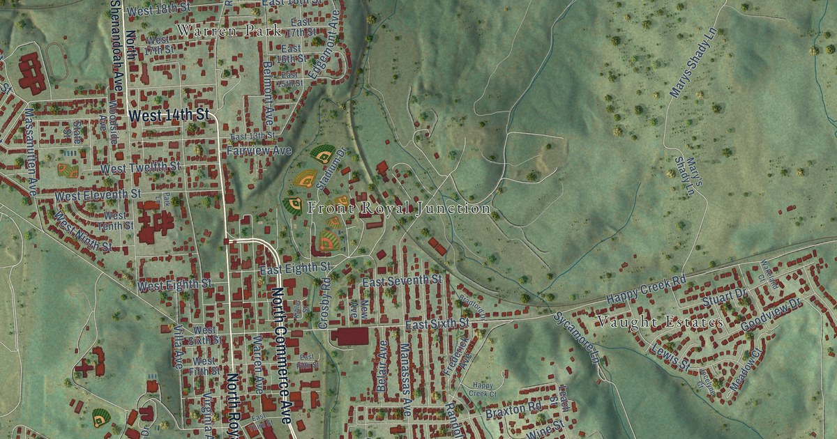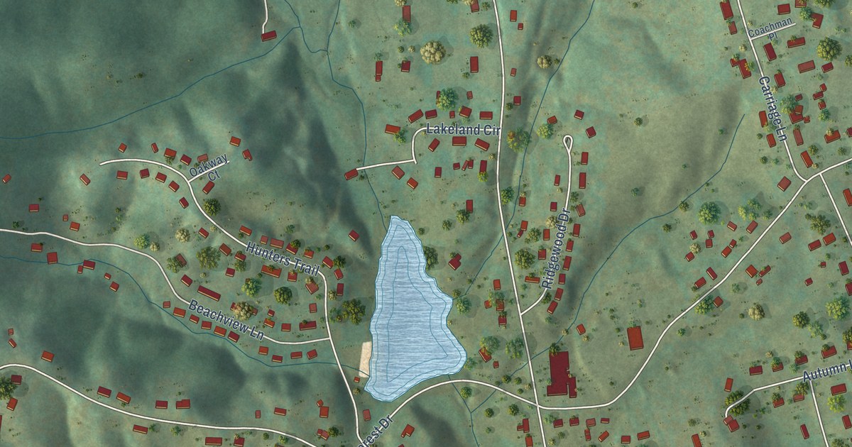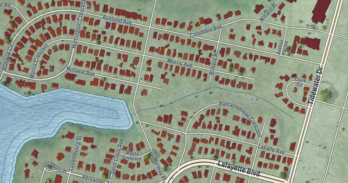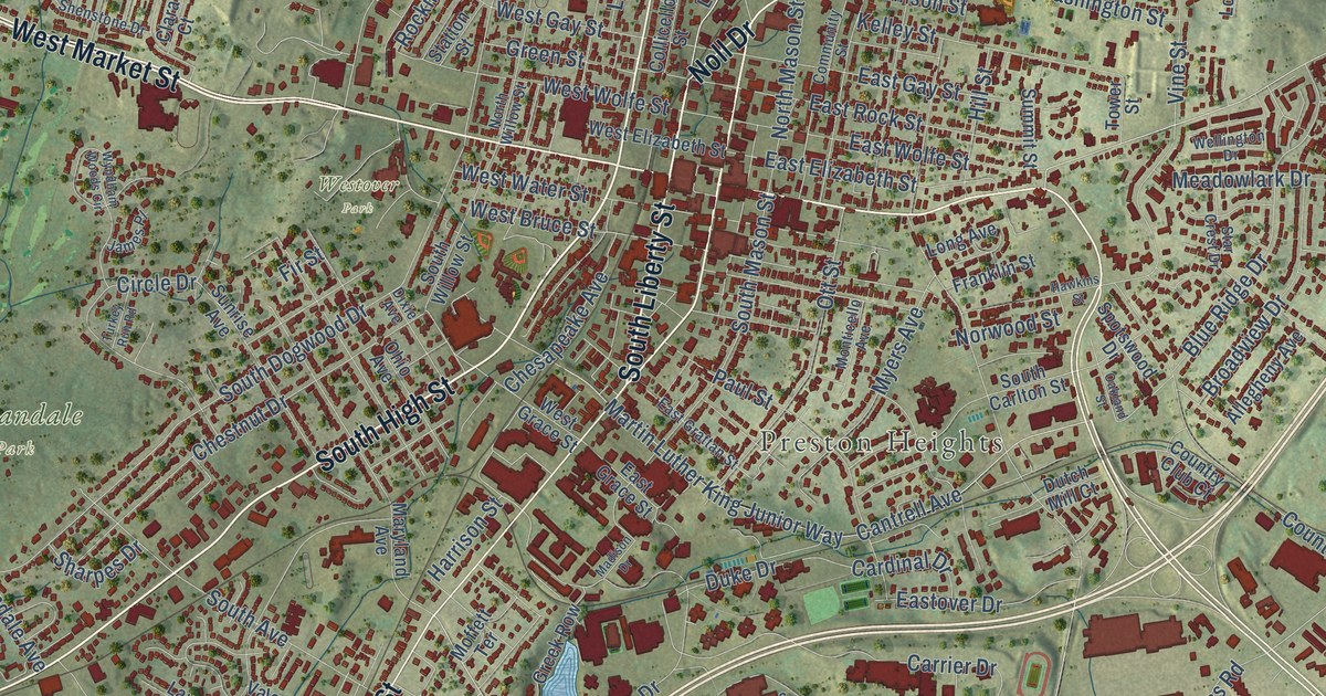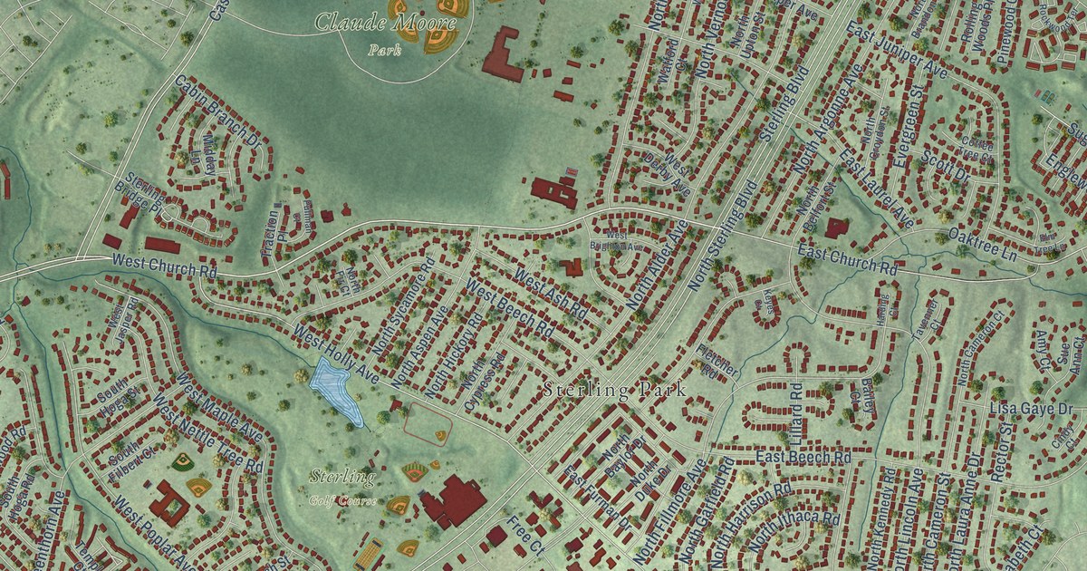
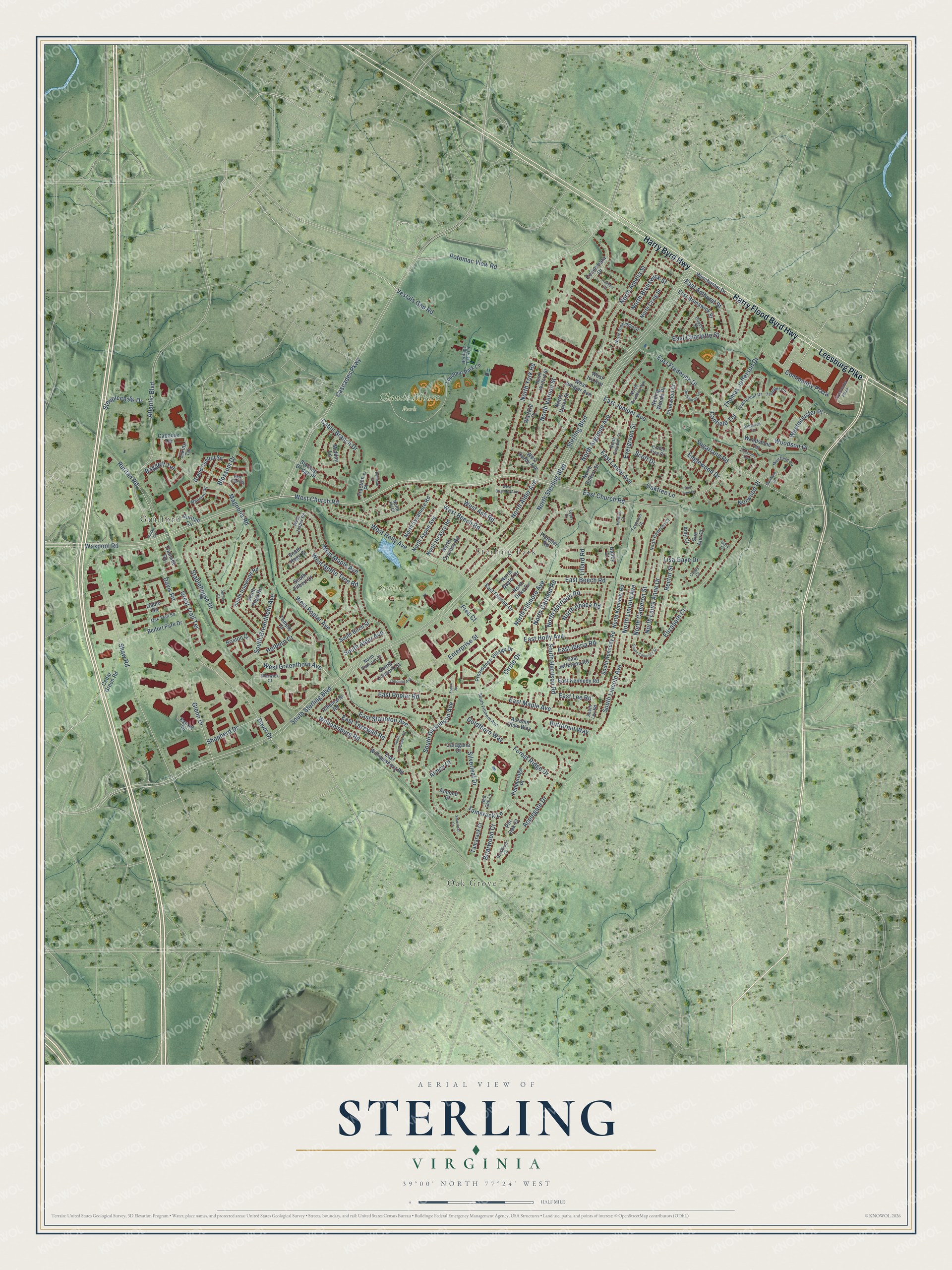
This beautifully detailed map of Sterling, Virginia was created in 2026 using aerial imagery combined with modern topographical, census, street and landmark data. It’s a one-of-a-kind view of Sterling that combines accurate data with a vintage aesthetic. The map shows every building in its true location, many of the roads carry their names, and the shaded topographic relief shows the shape of the land.
Explore an aerial view of Sterling, Virginia
On the map you’ll find Oak Grove, Claude Moore Park, Sterling Golf Course, Guilford, Sterling Park, and Community Plaza, along with Harry Flood Byrd Highway, Harry Byrd Highway, Leesburg Pike, West Church Road, Potomac View Road, Baggett Terrace, and more. If you look closely you can even find your house accurately drawn in its correct location. Zoom in on the preview to look for yours.
Did you know this about Sterling, Virginia?
From Vcris.dhr.virginia.gov: "Vestal's Gap Road is among the oldest remaining segments of colonial highway in America."
Take a closer look at the Sterling map
Street and place names on the Sterling, Virginia map
These names are printed on the map of Sterling, Virginia.
Places: Oak Grove, Claude Moore Park, Sterling Golf Course, Guilford and Sterling Park.
Streets and roads: Harry Flood Byrd Highway, Harry Byrd Highway, Leesburg Pike, Community Plaza, West Church Road, Potomac View Road, Baggett Terrace, Ruritan Road, Waxpool Road, Williamsburg Road, North Sterling Boulevard, South Dickenson Avenue.
More street names, A to Z
Albemarle Road, Almey Court, Almond Court, Amy Court, Applegate Drive, Atlantic Boulevard, Autumn Olive Way, Bailey Court, Belfort Park Drive, Blossom Drive, Box Car Square, Bradford Court, Briarwood Court, Brixton Court, Butternut Way, Cabin Branch Drive, Caboose Terrace, Canfield Terrace, Caragana Court, Cascades Parkway, Cedar Green Road, Cindy Court, Circle Drive, Coffee Tree Court, Colonial Avenue, Connemara Drive, Davis Drive, Davis Road, Dupont Street, East Amhurst Street, East Beech Road, East Brunswick Street, East Charlotte Street, East Church Road, East Frederick Drive, East Furman Drive, East Holly Avenue, East Iberia Road, East Jefferson Road, East Juniper Avenue, East Kennedy Road, East Laurel Avenue, East Lee Road, East Maple Avenue, East Poplar Road, East Staunton Avenue, East Tazewell Road, East Williamsburg Road, Elizabeth Court, Elkins Terrace, Elm Tree Lane, Englewood Drive, Enterprise Street, Essex Square, Evergreen Street, Export Drive, Fletcher Road, Forest Ridge Drive, Free Court, Gable Square, Gary Court, Glenn Drive, Goldthorn Way, Grand Central Square, Great Trail Terrace, Harding Court, Heritage Farm Lane, Holborn Court, Ironstone Terrace, Keyes Court, Leatherleaf Drive, Lillard Road, Lisa Gaye Drive, Loudoun Park Lane, Magnolia Road, Manning Square, Midday Lane, Muirfield Circle, Muirfield Drive, North Alder Avenue, North Amelia Street, North Argonne Avenue, North Aspen Avenue, North Baylor Drive, North Belfort Street, North Brandon Avenue, North Brunswick Street, North Cameron Court, North Cameron Street, North Concord Court, North Craig Street, North Croydon Street, North Cypress Road, North Dinwiddie Street, North Duke Drive, North Fillmore Avenue, North Fir Court, North Garfield Road, North Harrison Road, North Hickory Road, North Ithaca Road, North Kennedy Road, North Laura Anne Drive, North Lincoln Avenue, North Sycamore Road, North Upton Street, North Vernon Street, North Watford Street, North York Road, Norwood Place, Oak Trail Square, Oaktree Lane, Pepperidge Place, Pinewood Court, Pin Oak Court, Providence Village Drive, Pullman Court, Rabbitrun Terrace, Rector Street, Red Oak Lane, Rockwood Terrace, Rolling Woods Place, Ruitan Circle, Ruritan Circle, Scott Drive, Shaw Road, Shepherd Drive, Silverleaf Court, Silverleaf Drive, South Alder Avenue, South Birch Street, South Cameron Street, South Concord Court, South Culpeper Road, South Filbert Court, South Fillmore Avenue, South Greenthorn Avenue, South Harrison Road, South Hoga Road, South Hoga Street, South Ironwood Road, South Kennedy Road, South Lee Road, South Lincoln Avenue, South Sterling Boulevard, Spruce Court, Stablehouse Drive, Steeplechase Drive, Sterling Boulevard, Sterling Bridge Place, Sue Ann Court, Sugarland Road, Tamarack Court, Tamarack Lane, Tavenner Court, Temple Court, Thomas Jefferson Drive, Towncenter Plaza, Traction Place, Trailside Square, Tramore Court, Trumpet Circle, Vestals Gap Road, Warwick Court, Watford Court, West Ash Road, West Beech Road, West Brighton Avenue, West Derby Avenue, West Greenthorn Avenue, West Holly Avenue, West Ivy Avenue, West Jasper Road, West Juniper Avenue, West Maple Avenue, Westminister Place, West Nettle Tree Road, West Poplar Avenue, Winchester Drive, Woodson Drive, Woodstone Terrace.
See the Sterling, Virginia map on a wall
The Sterling map as an 18 x 24 inch print in a black frame.

This beautifully detailed map of Sterling makes an attractive addition to your office, library, or den, and it can even be used to teach children the geography and history of the area. It also makes a great gift for someone who left Sterling and still calls it home. When you’re done exploring, click here to get your copy of the Sterling map.