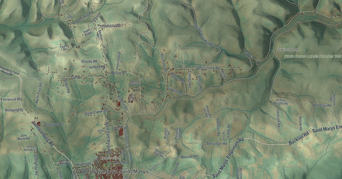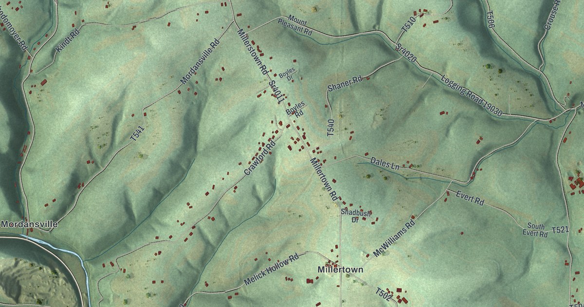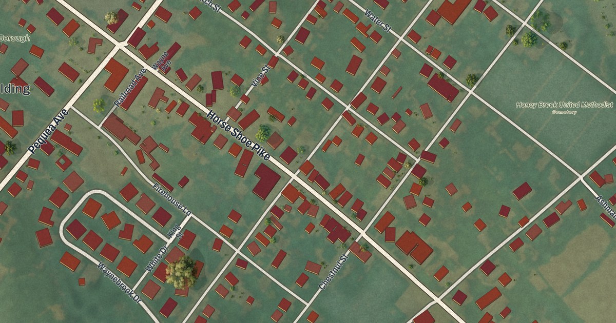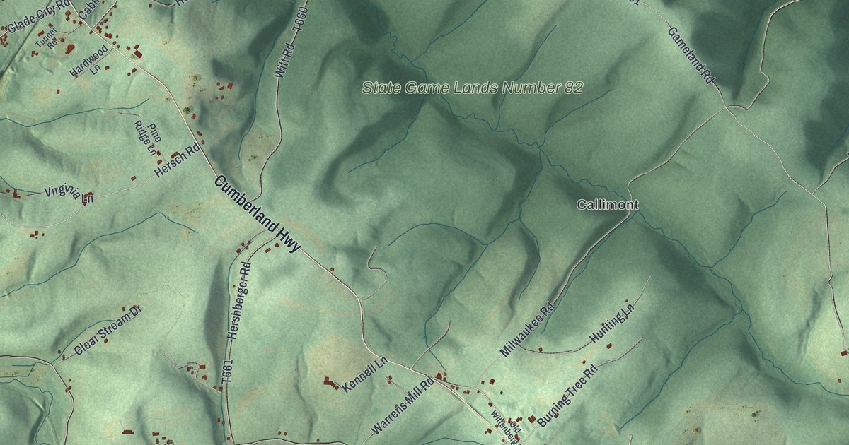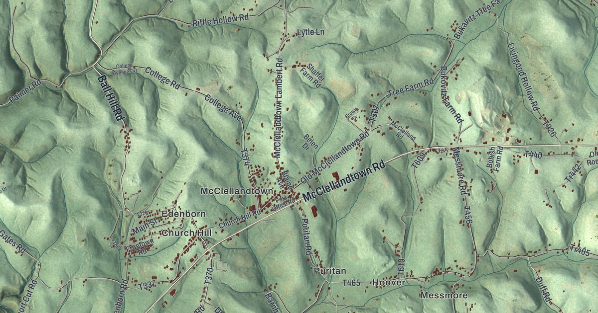
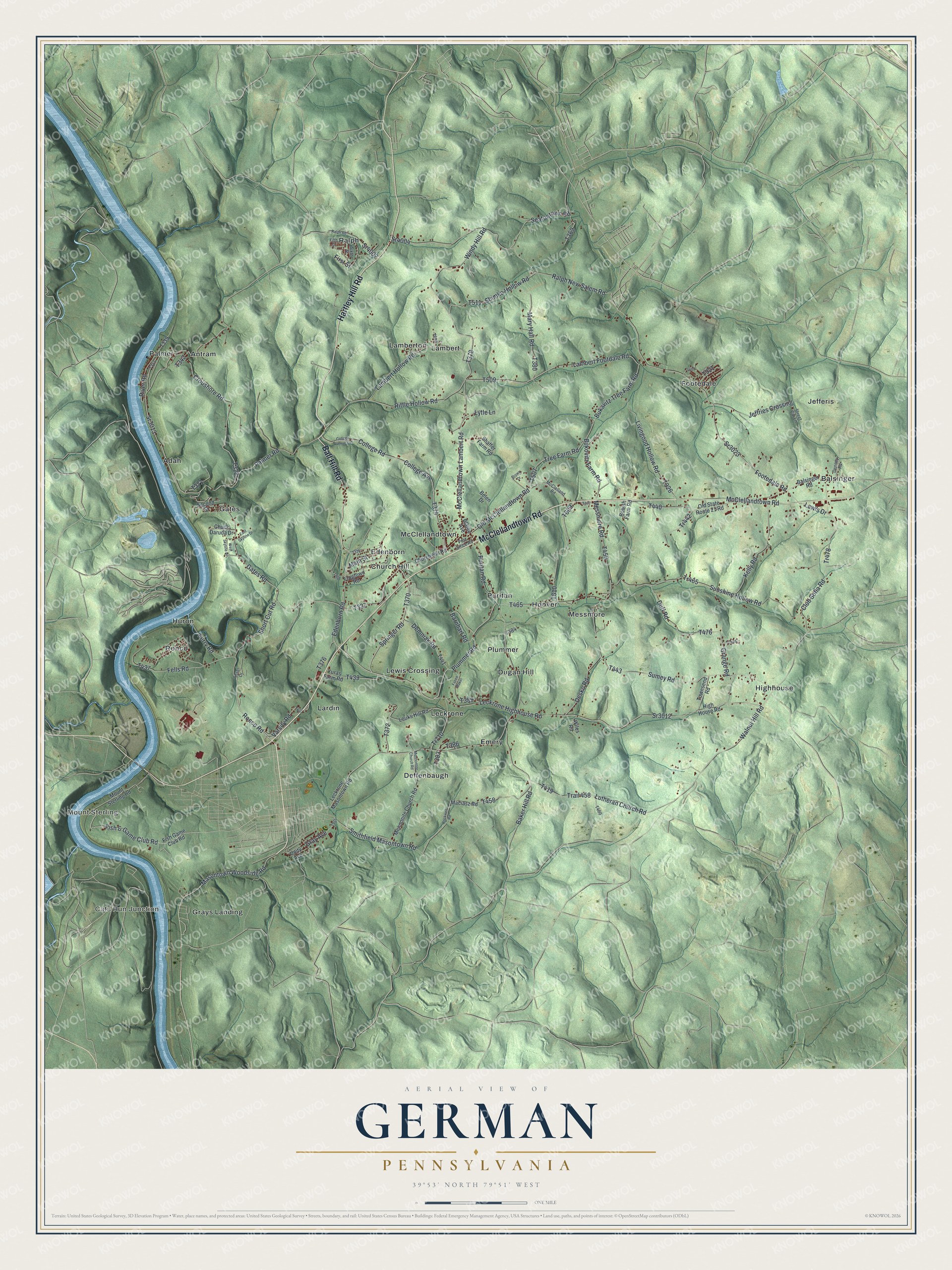
This beautifully detailed map of German, Pennsylvania was created in 2026 using aerial imagery combined with modern topographical, census, street and landmark data. It's a modern aerial view of German in Fayette County, Pennsylvania, that combines modern data with a vintage aesthetic. The roads feature printed names, and if you look closely you can find your exact house accurately shown in its correct location.
Explore an aerial view of German, Pennsylvania
On this map you'll find Mount Sterling, Cats Run Junction, Adah, Antram, Balsinger, Church Hill, Deffenbaugh, Dugan Hill, Edenborn, Emery, Footedale, Gates, and more. Each red shape is a building, so zoom in on the preview and look for yours.
German has a story worth telling. The German Township puts it this way: "German Township was one of the nine original Townships into which Fayette County was divided by the first Court held in Uniontown on December 24, 1783."
German is a place in Fayette County. The Census Bureau counted 4,669 people here in 2020.
Take a closer look at the German map
Names on this map
These names are printed on this map.
Places: Mount Sterling, Cats Run Junction, Adah, Antram, Balsinger, Church Hill, Deffenbaugh, Dugan Hill, Edenborn, Emery, Footedale, Gates, Grays Landing, Highhouse, Hoover, Huron, Jefferis, Lambert, Lamberton, Lardin, Leckrone, Lewis Crossing, McClellandtown, Messmore, Palmer, Plummer, Puritan, Ralph and Ronco.
Streets and roads: McClellandtown Road, Hartley Hill Road, Ball Hill Road, Sr3012, Leckrone Highhouse Road, Fish & Game Club Road, Plummer Road, Barnhart Road, Main Street, Springer Road, Edenborn Road, Ronco Road.
More street names, A to Z
Ansel Drive, Baker Hill Road, Balsinger Road, Belen Drive, Blaine Avenue, Bobish Farm Road, Brown Drive, Bukavitz Tree Farm Road, Bukovitz Farm Road, Chuck Daruda Drive, Church Hill Road, Club Sofia Road, College Avenue, College Avenue Extension, College Road, Croushore Road, Demniak Road, Denney Road, Desko Road, Duff Road, East Skyline Drive, Fazen Baker, Fells Road, Ferry Road, Fifth Street, First Street, Fish Game Club Road, Footedale Road, Frogtown Road, Gates Road, Grange Road, Gray Avenue, High House Road, Jeffries Crossing, Kelly Road, Lambert Footdale Road, Lambert Hollow Road, Leckrone Masontown Road, Lewis Drive, Livingood Hollow Road, Louks Hill Road, Lutheran Church Road, Lytle Lane, Maciasz Road, Mary Hall Road, Masontown Woodside Road, McClelland Road, McClellandtown Lambert Road, Mennonite Church Road, Mennontite Church Road, Messmore Road, Mount Sterling Road, Old McClellandtown Road, Old State Route 21 Road, Palmer Road, Post Office Road, Puritan Road, Ralph New Salem Road, Ralph Road, Riffle Hollow Road, River Road, Rockwell Road, Seatontown Road, Second Street, Shaffer Farm Road, Shimko Hollow Road, Short Cut Road, Sixth Street, Smithfield Masontown Road, Sr3013, Sr3023, Sr4002, Sr4004, Street Car Lane, Sumey Road, Sunshine Hollow Road, Townsend Road, Tr442, Tr445, Tr465, Tr478, Tr710, Trail 458, Tree Farm Road, Unity Avenue, Varsity Road, Walnut Hill Road, West Skyline Drive, Wiles Road, Windy Hill Road, Yuras Farm Road.
Created by KNOWOL in 2026. The buildings are small red shapes, the roads carry their printed names, and shaded relief shows the shape of the land. The title panel reads "AERIAL VIEW OF GERMAN PENNSYLVANIA" with 3, 9, °, 5, 3, ', , N, O, R, T, H, , 7, 9, °, 5, 1, ', , W, E, S, T.
It looks right in a kitchen, an office or a den, and it's a gift for anyone who grew up in German or moved away. Open the preview and find your street. See sizes and frames for the German map.