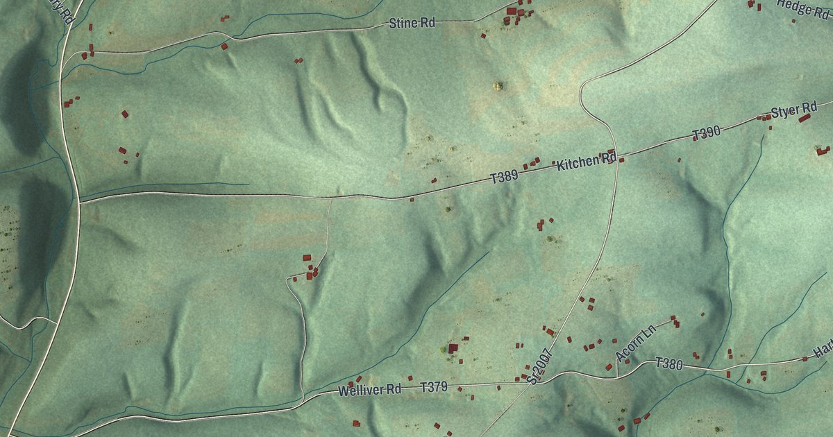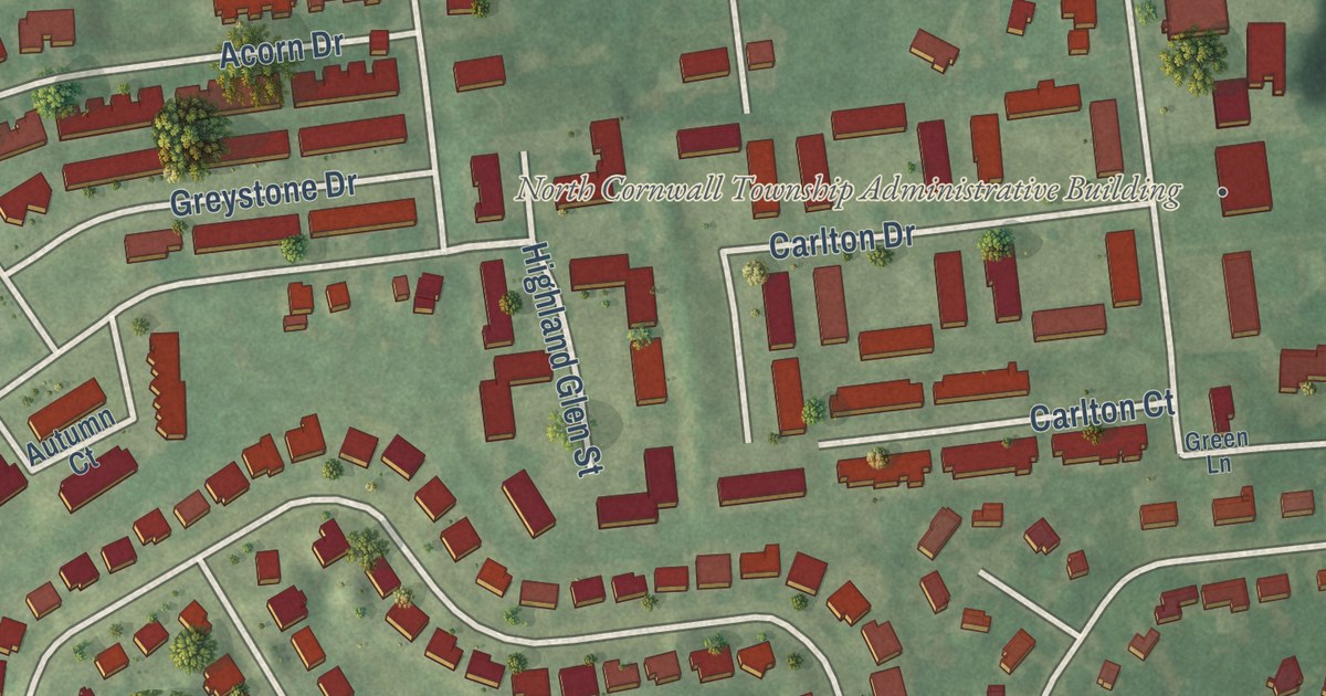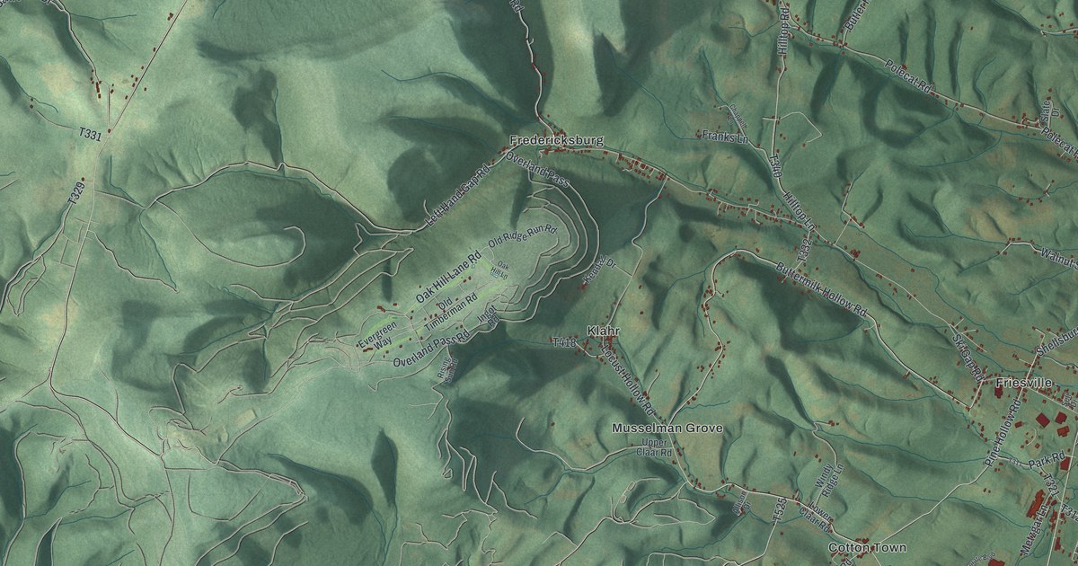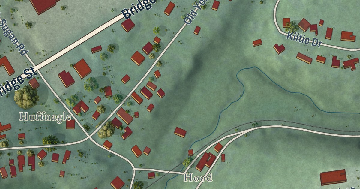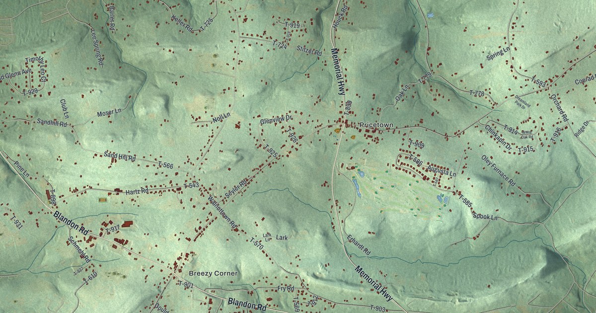
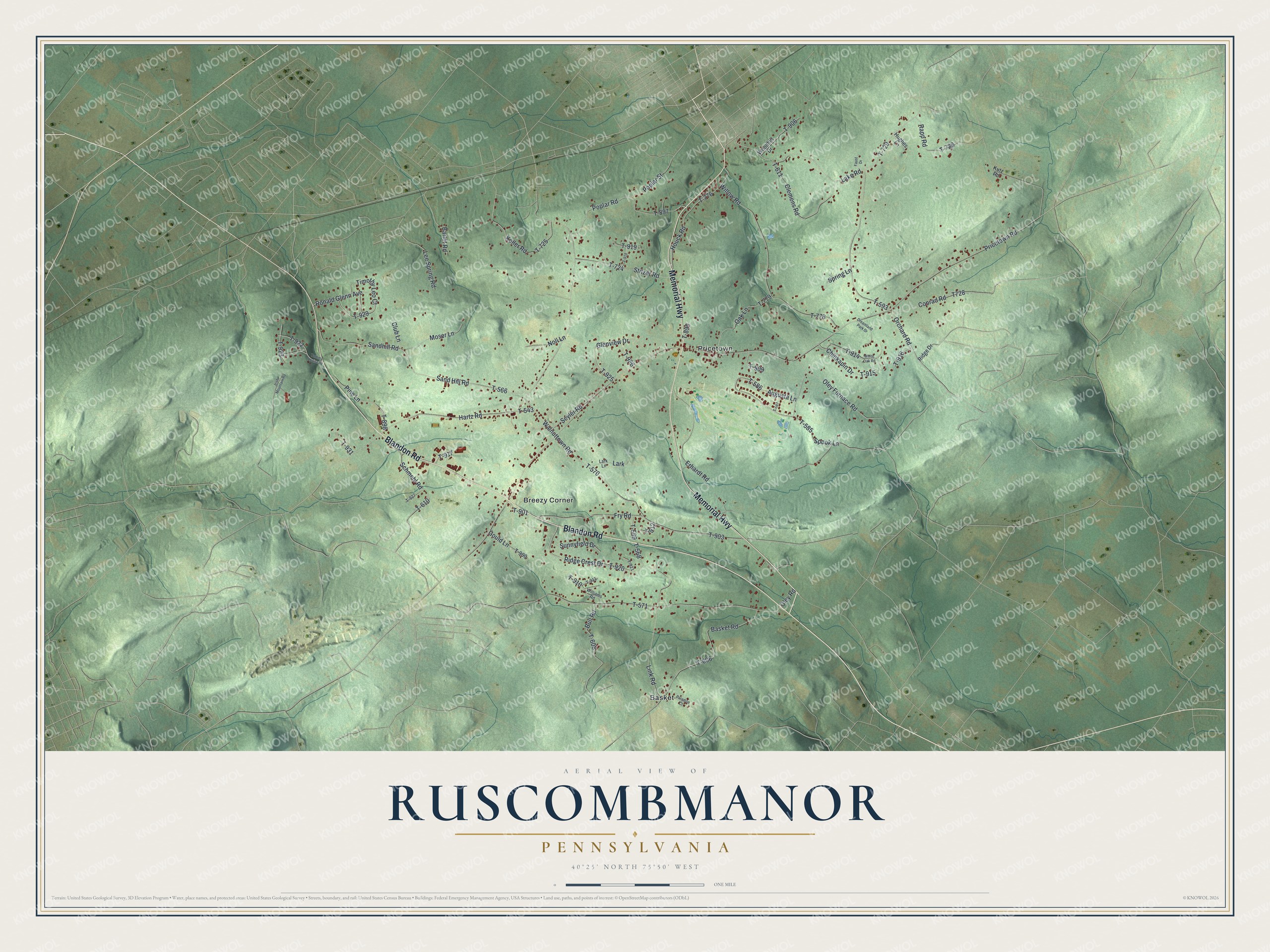
This beautifully detailed map of Ruscombmanor, Pennsylvania was created in 2026 using aerial imagery combined with modern topographical, census, street and landmark data. It’s a one-of-a-kind view of Ruscombmanor that combines accurate data with a vintage aesthetic. The map shows every building in its true location, many of the roads carry their names, and the shaded topographic relief shows the shape of the land.
Explore an aerial view of Ruscombmanor, Pennsylvania
On the map you’ll find Basket, Breezy Corner, Pricetown, T-914, T-929, and T-593, along with Blandon Road, Memorial Highway, Keller Road, Pricetown Road, Walnuttown Road, Fry Road, and more. If you look closely you can even find your house accurately drawn in its correct location. Zoom in on the preview to look for yours.
Did you know this piece of Ruscombmanor, Pennsylvania history?
From the Reading Eagle: "The Manor of Ruscomb, named for a district in Wales, started as a 10,000-acre tract in Philadelphia County surveyed and set aside in 1739 for use by the Penns."
Take a closer look at the Ruscombmanor map
Street and place names on the Ruscombmanor, Pennsylvania map
These names are printed on the map of Ruscombmanor, Pennsylvania.
Places: Basket, Breezy Corner and Pricetown.
Streets and roads: Blandon Road, Memorial Highway, Keller Road, T-914, T-929, Pricetown Road, Walnuttown Road, T-593, Fry Road, Oley Road, T-571, Sand Hill Road.
More street names, A to Z
Augusta Lane, Barlet Road, Basket Road, Bull Road, Chinkapin Drive, Clemens Road, Club Lane, Conrad Road, Dreamland Park Drive, Erhardt Road, Faust Drive, Glenview Drive, Gould Lane, Hartz Road, Houck Road, Hughes Lane, Irish Mountain Road, Kutz Road, Lake Road, Lark, Lark Lane, Lee Spring Road, Link Road, Moser Lane, Noll Lane, Oak Lane, Oley Furnace Road, Orchard Road, Paradise Court, Pine Lane, Poplar Road, Poplar Street, Rapp Road, Ridge Crest Drive, Ridge Drive, Ronald Glenn Avenue, Sandhill Road, Schmehl Road, Seyler Road, Spook Lane, Spring Lane, Stitzer Road, Sunnyfield Drive, T-543, T-566, T-568, T-569, T-570, T-585, T-586, T-587, T-606, T-608, T-610, T-611, T-724, T-725, T-728, T-729, T-776, T-778, T-779, T-897, T-898, T-899, T-900, T-901, T-903, T-906, T-909, T-910, T-911, T-912, T-915, T-916, T-917, T-918, T-919, T-920, T-921, T-922, T-923, T-925, T-926, T-927, T-931, Tammy Louise Drive, Timothy Leo Court, White Oak Road, Williams Road, Willow Road, Woodhill Drive.
See the Ruscombmanor, Pennsylvania map on a wall
The Ruscombmanor map as an 18 x 24 inch print in a black frame.

This beautifully detailed map of Ruscombmanor makes an attractive addition to your office, library, or den, and it can even be used to teach children the geography and history of the area. It also makes a great gift for anyone who grew up in Ruscombmanor or moved away. When you’re done exploring, click here to get your copy of the Ruscombmanor map.