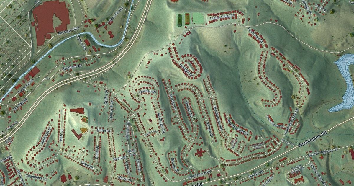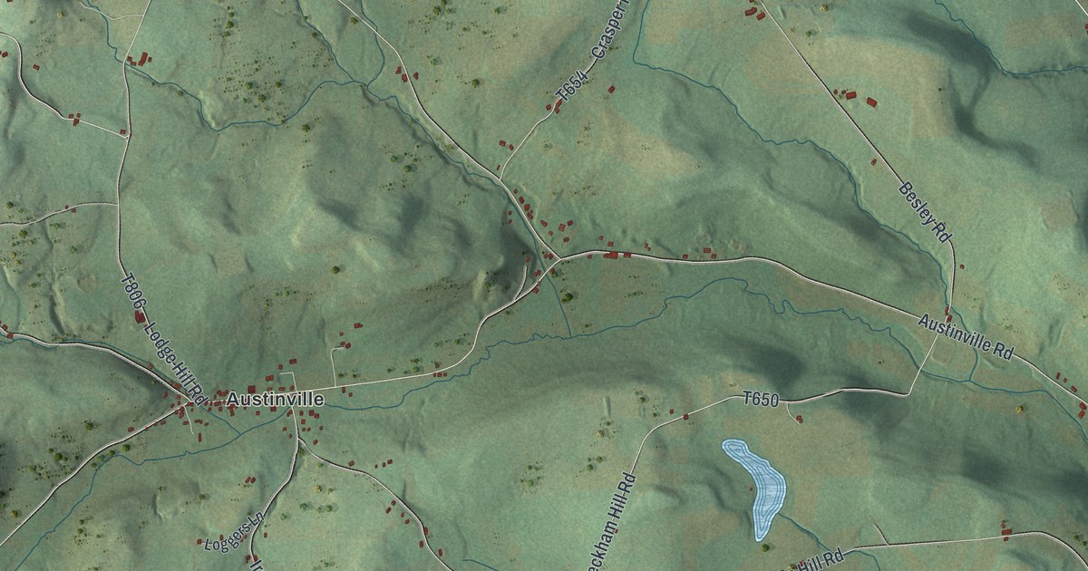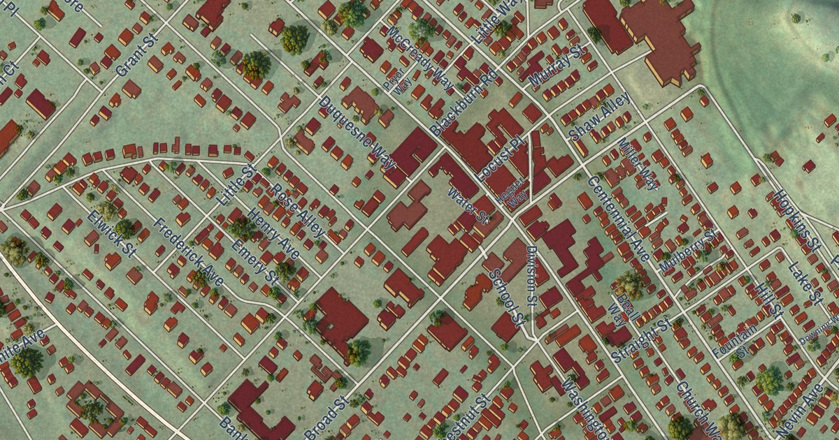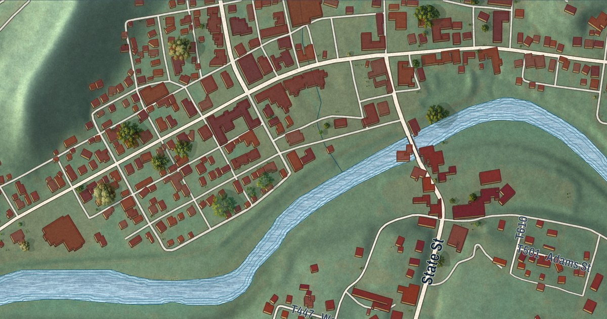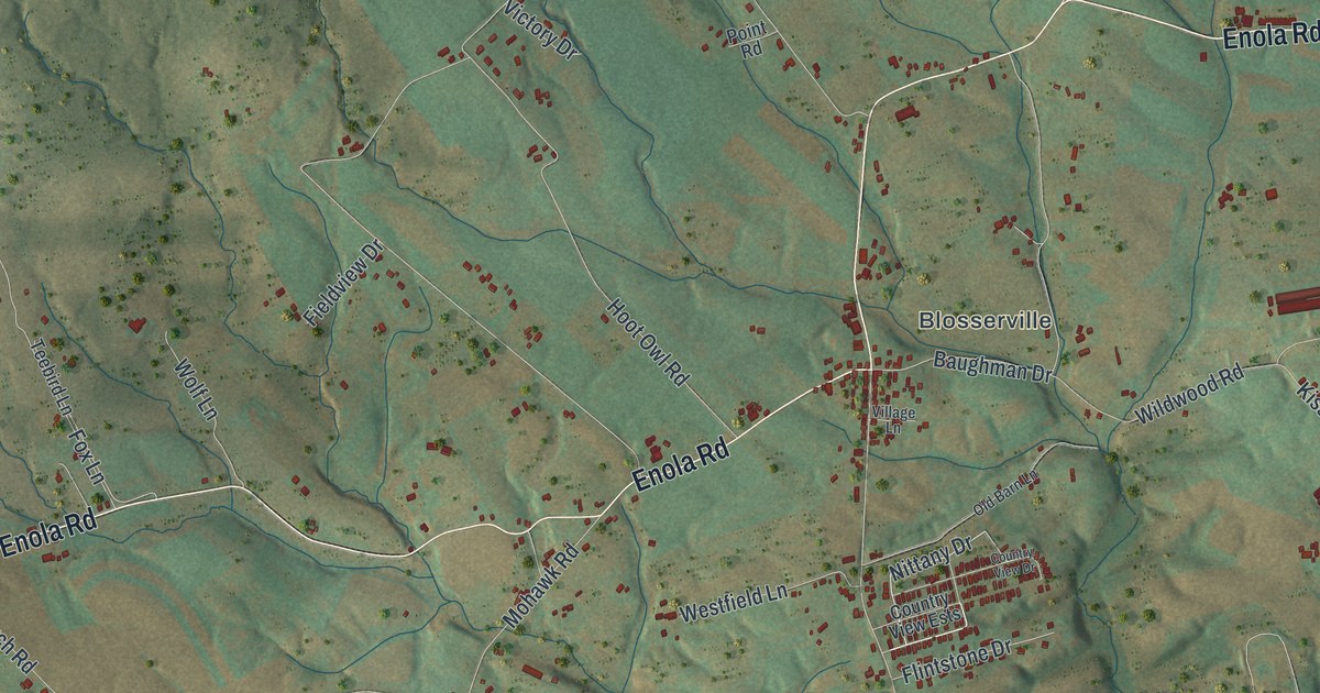
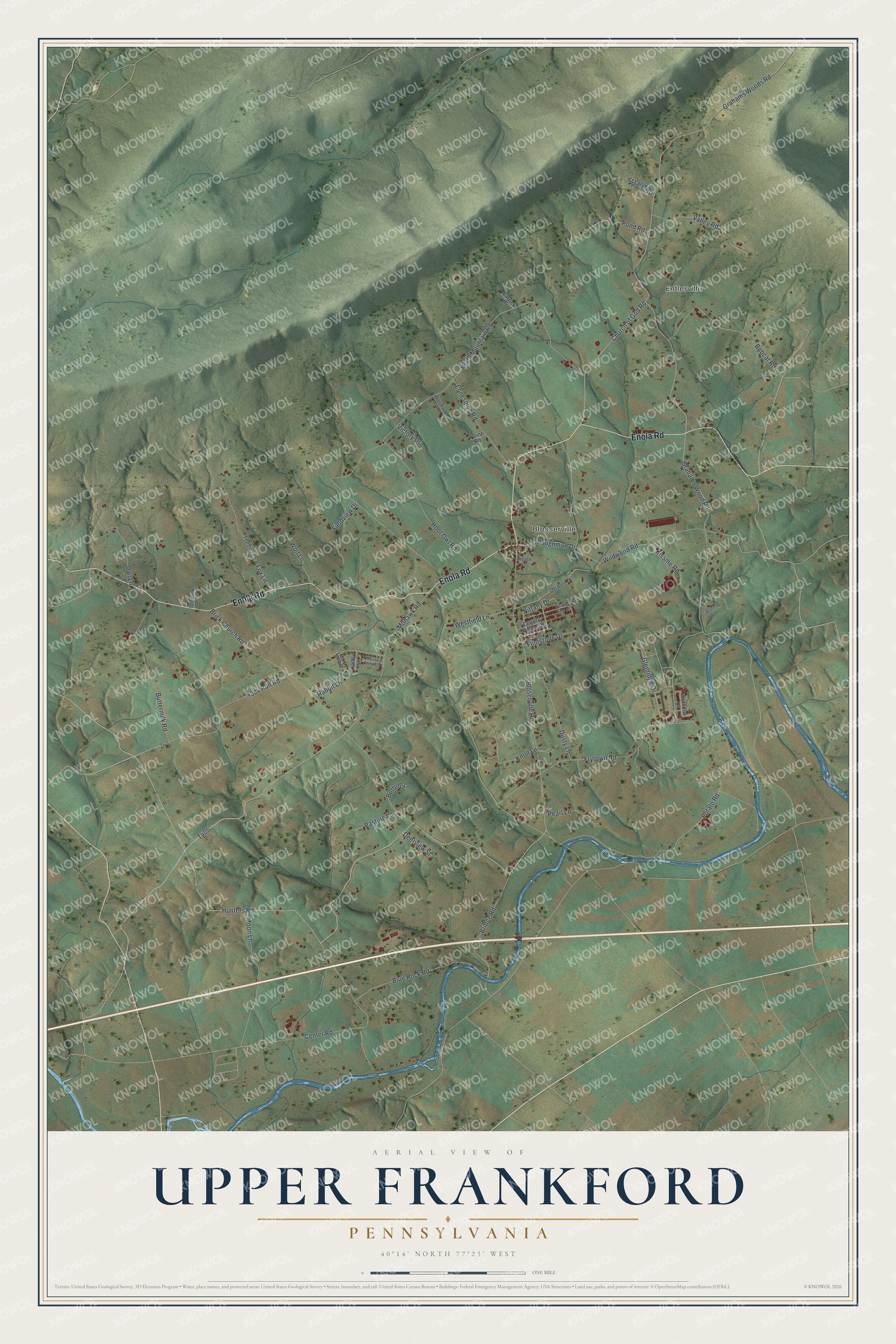
This beautifully detailed map of Upper Frankford, Pennsylvania was created in 2026 using aerial imagery combined with modern topographical, census, street and landmark data. It’s a one-of-a-kind view of Upper Frankford that combines accurate data with a vintage aesthetic. The map shows every building in its true location, many of the roads carry their names, and the shaded topographic relief shows the shape of the land.
Explore an aerial view of Upper Frankford, Pennsylvania
On the map you’ll find Entlerville and Blosserville, along with Enola Road, Nittany Drive, Mohawk Road, Hunters Road, Grahams Wood Road, North Mountain Road, Brick Church Road, Potato Road, Center Road, and more. If you look closely you can even find your house accurately drawn in its correct location. Zoom in on the preview to look for yours.
Did you know this piece of Upper Frankford, Pennsylvania history?
From the Gardner Library: "Frankford Township has always been rural in character. Its first and only town, Bloserville did not form until the mid-nineteenth century. William Bloser bought land in Frankford Township in 1811, and in 1850 he laid out the village bearing his name."
Take a closer look at the Upper Frankford map
Street and place names on the Upper Frankford, Pennsylvania map
These names are printed on the map of Upper Frankford, Pennsylvania.
Places: Entlerville and Blosserville.
Streets and roads: Enola Road, Nittany Drive, Mohawk Road, Hunters Road, Grahams Wood Road, North Mountain Road, Brick Church Road, Potato Road, Center Road, Frytown Road, Bloserville Road, Wildwood Road.
More street names, A to Z
Barrick Drive, Baughman Drive, Blue Rock Road, Bobcat Road, Bottom Lane, Bridge Road, Buttermilk Road, Church of God Road, Country View Drive, Country View Ests, Crandle Drive, Deerview Street, Dogwood Acres, Dusty Lane, Fieldview Drive, Flintstone Drive, Four Wheel Road, Fox Lane, Glenridge Drive, Grahams Woods Road, Hoot Owl Road, Kathy Street, Kissme Road, Knoll Lane, Lois Street, Lonesome Road, Moon Lane, Mountain View Terrace, Old Barn Lane, Owl Lane, Pasture Lane, Pearl Lane, Point Road, Pond Road, Rabbit Lane, Rock Run Road, Teebird Lane, Upland Road, Valley Road, Victory Drive, Village Lane, Westfield Lane, Wolf Lane, Woodland Drive.
See the Upper Frankford, Pennsylvania map on a wall
The Upper Frankford map as an 18 x 24 inch print in a black frame.

This beautifully detailed map of Upper Frankford makes an attractive addition to your office, library, or den, and it can even be used to teach children the geography and history of the area. It also makes a great gift for someone who left Upper Frankford and still calls it home. When you’re done exploring, click here to get your copy of the Upper Frankford map.