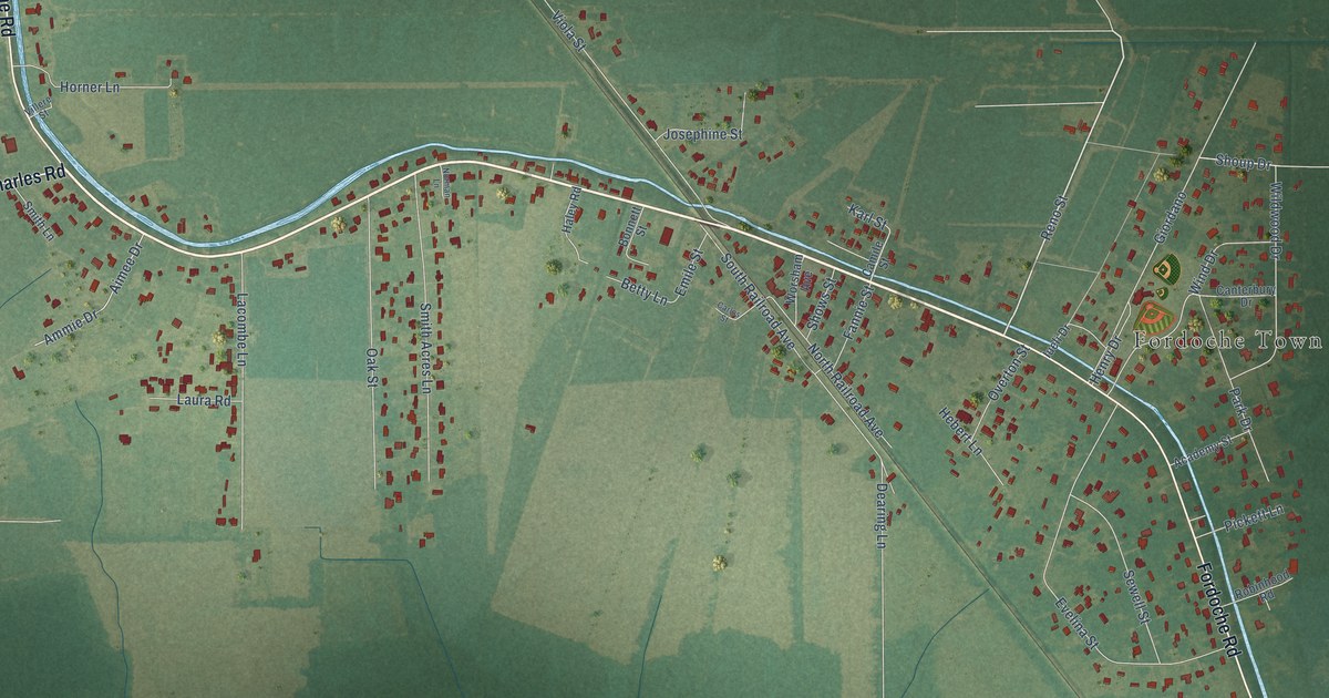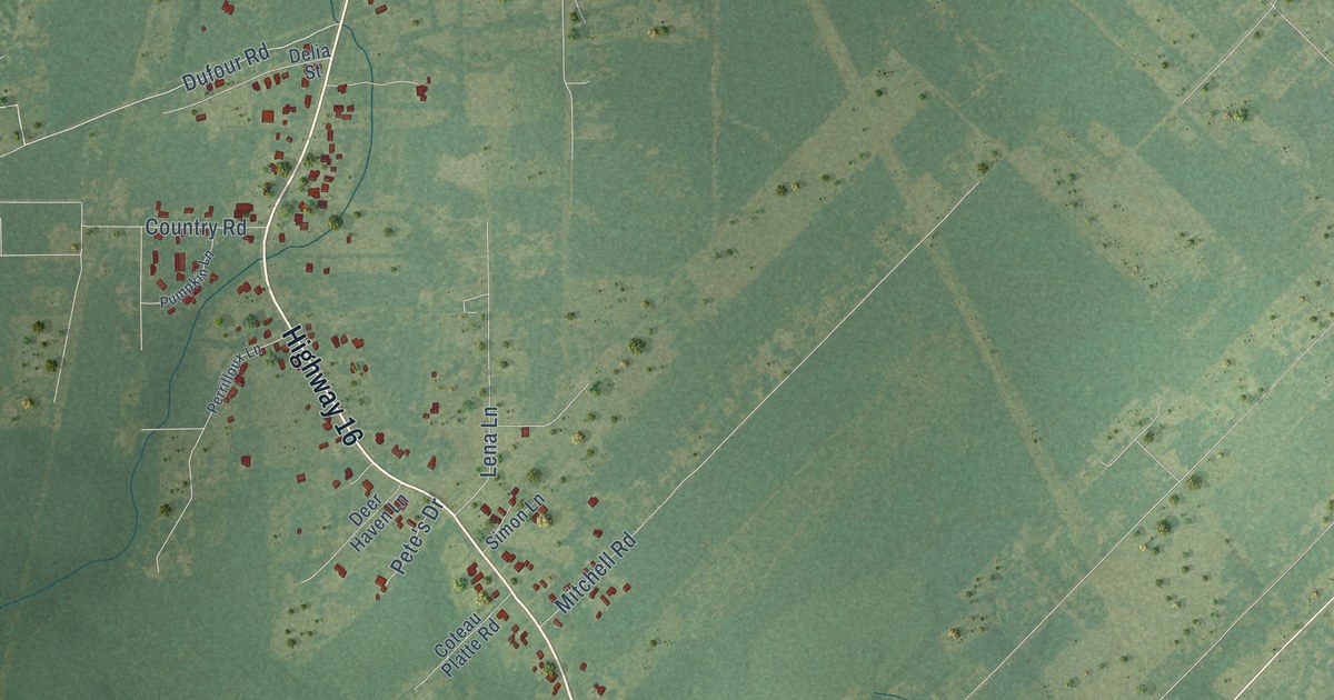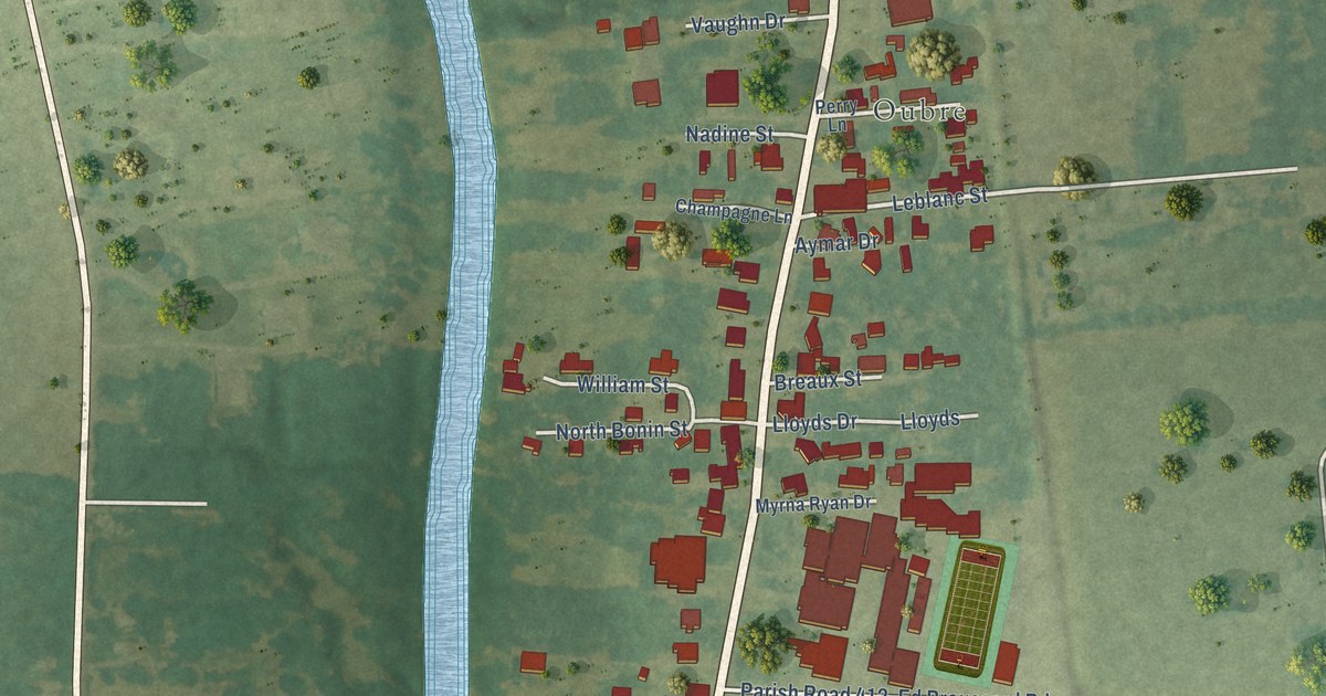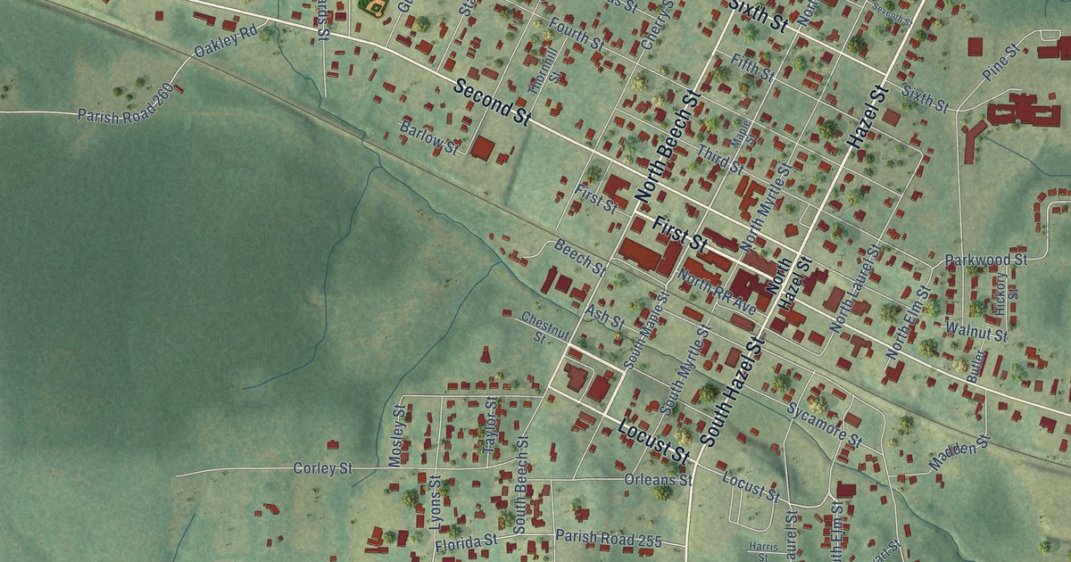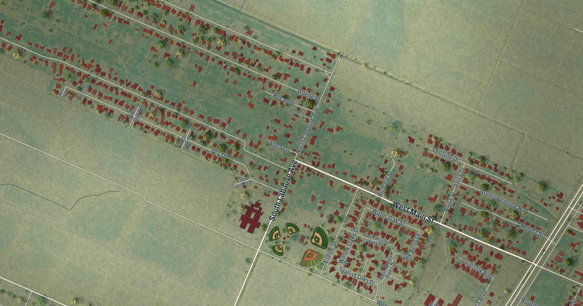
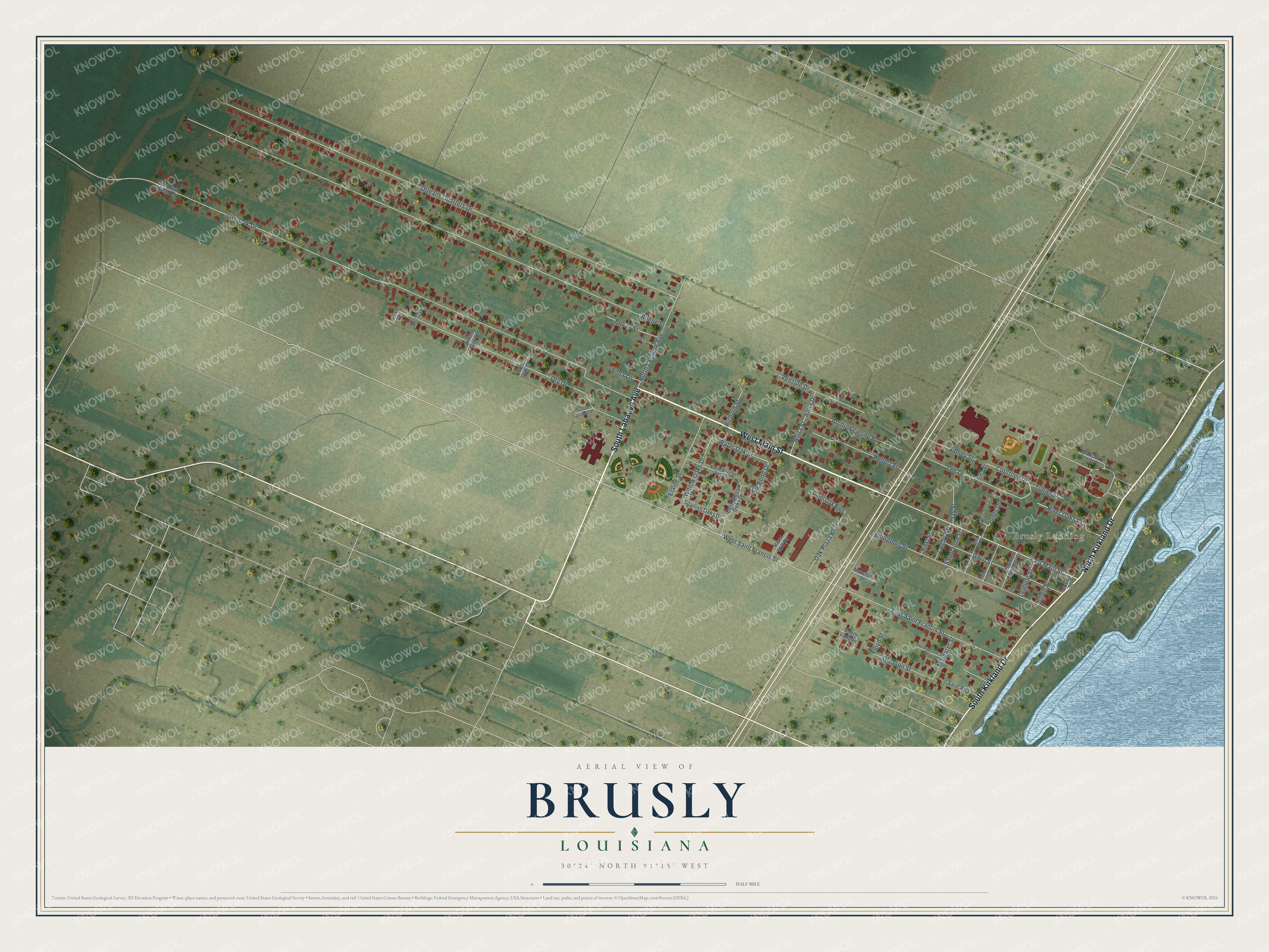
This beautifully detailed map of Brusly, Louisiana was created in 2026 using aerial imagery combined with modern topographical, census, street and landmark data. It's a modern aerial view of Brusly in West Baton Rouge Parish, Louisiana, that combines modern data with a vintage aesthetic. The roads feature printed names, and if you look closely you can find your exact house accurately shown in its correct location.
Explore an aerial view of Brusly, Louisiana
On this map you'll find Brusly Landing, West Main Street, South Labauve Avenue, North Kirkland Drive, South Kirkland Drive, East Main Street, West Saint Francis Street, Oak Bend Drive, Courtney Drive, Gleason Street, Allene Street, Orleans Quarters Drive, and more. Each red shape is a building, so zoom in on the preview and look for yours.
Brusly has a story worth telling. The National Park Service puts it this way: "Although not incorporated until 1901, Brusly is West Baton Rouge's oldest settlement. Frenchman Jacques Molaison and his family are credited as its first settlers. They arrived at the site in 1785, their ship passage having been paid by the Spanish government."
Brusly is a town in West Baton Rouge Parish. The Census Bureau counted 2,578 people here in 2020.
Take a closer look at the Brusly map
Names on this map
These names are printed on this map.
Places: Brusly Landing.
Streets and roads: West Main Street, South Labauve Avenue, North Kirkland Drive, South Kirkland Drive, East Main Street, West Saint Francis Street, Oak Bend Drive, Courtney Drive, Gleason Street, Allene Street, Orleans Quarters Drive, Live Oak Drive.
More street names, A to Z
Anita Drive, Anita Street, Anna Lane, Archie Lejeune Road, Black Oak, Blanchard Street, Bourgeois Street, Bourg Street, East Brusly Oaks Drive, East Saint Francis Street, Elaine Street, Fallow Ground Drive, First Street, Floyd Street, Gwin Street, Hebert Street, Irma Street, Jay Street, Jones Drive, Julien Street, Landry Street, Lee Drive, Lejeune Street, Live Oak Extended, Margaret Street, Marionneaux Street, Marshley Street, North Brusley Oaks Drive, North Labauve Avenue, Oak Plaza Boulevard, Ory Drive, Pecan Street, Pin Oak, Quiet Oak Boulevard, Red Oak Street, Richard Street, River Mill Drive, River Oaks Drive, Saint John Street, Saint Luke Street, Saint Mark Street, Saint Mary Street, Saint Matthew Street, Saint Rita, Short Street, Sidney Street, South Vaughn, Spanish Oaks Drive, Tullier Street, Venzule Drive, Water Oak Street, White Oak Street, Willow Oaks Drive.
Created by KNOWOL in 2026. The buildings are small red shapes, the roads carry their printed names, and shaded relief shows the shape of the land. The title panel reads "AERIAL VIEW OF BRUSLY LOUISIANA" with 30°24' NORTH 91°15' WEST.
It looks right in a kitchen, an office or a den, and it's a gift for anyone who grew up in Brusly or moved away. Open the preview and find your street. See sizes and frames for the Brusly map.