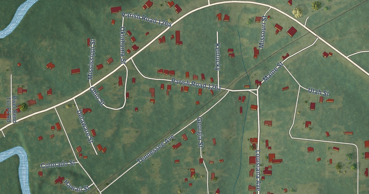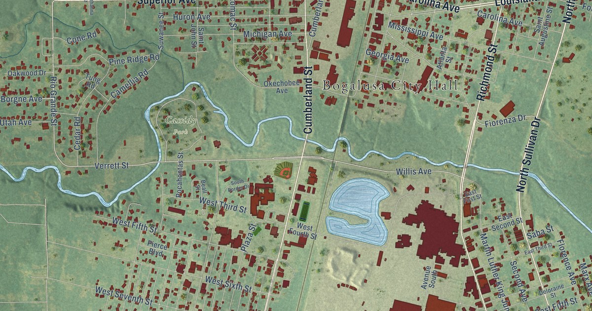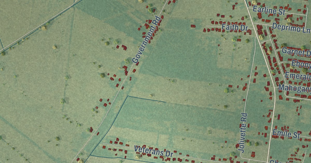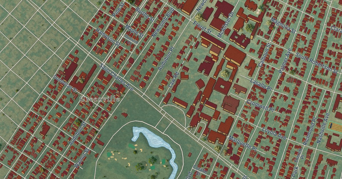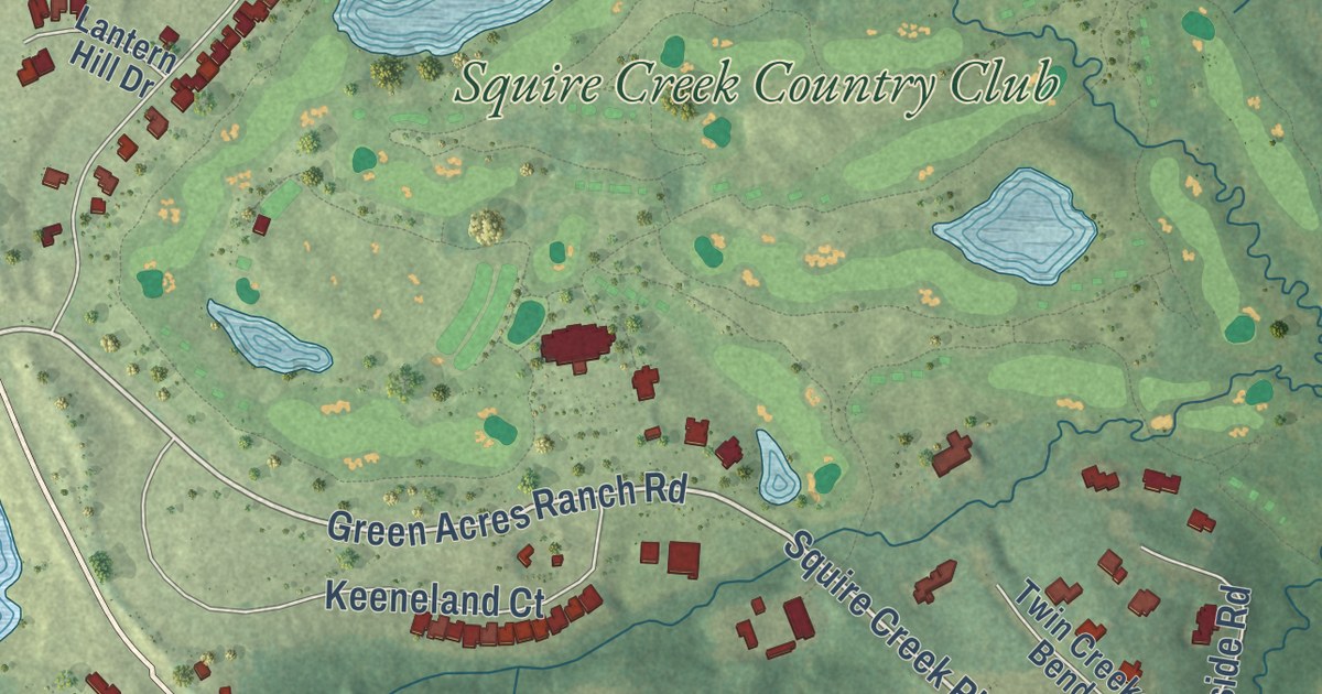
This beautifully detailed map of Choudrant, Louisiana was created in 2026 using aerial imagery combined with modern topographical, census, street and landmark data. It’s a one-of-a-kind view of Choudrant that combines accurate data with a vintage aesthetic. The map shows every building in its true location, many of the roads carry their names, and the shaded topographic relief shows the shape of the land.
Explore an aerial view of Choudrant, Louisiana
On the map you’ll find Squire Creek Country Club, along with Highway 145, Oak Street, Highway 80, Dixie Overland Highway, Highway 820, Elm Street, Highway 821, North Depot Street, Squire Creek Parkway, Green Acres Ranch Road, Cherrybark Way, and more. If you look closely you can even find your house accurately drawn in its correct location. Zoom in on the preview to look for yours.
Did you know this piece of Choudrant, Louisiana history?
From the Century Historical Association: "Choudrant, a village in the southeastern part of Lincoln parish, is a station on the Vicksburg, Shreveport & Pacific R. R., 7 miles east of Ruston, the parish seat. It has a money order postoffice, express office, telegraph and telephone facilities, and is the trading center for a considerable district."
Take a closer look at the Choudrant map
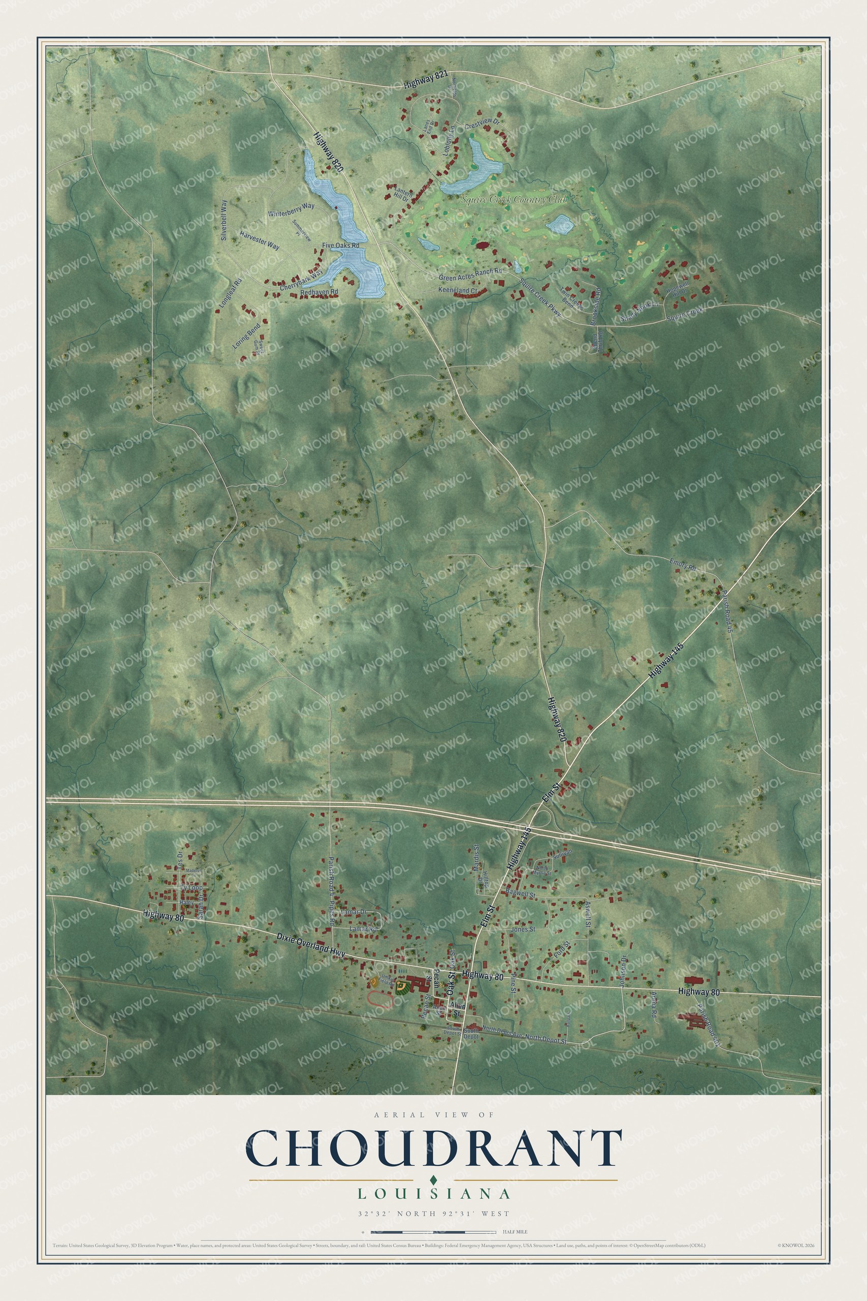
Street and place names on the Choudrant, Louisiana map
These names are printed on the map of Choudrant, Louisiana.
Places: Squire Creek Country Club.
Streets and roads: Highway 145, Oak Street, Highway 80, Dixie Overland Highway, Highway 820, Elm Street, Highway 821, North Depot Street, Squire Creek Parkway, Green Acres Ranch Road, Cherrybark Way, Loblolly Lane.
More street names, A to Z
Allen Street, Arena Road, Aswell Street, Bagwell Street, Ballpark, Brookside Road, Crestview Drive, Emory Road, Five Oaks Road, Ford Street, Haley, Harvester Way, Hilltop Drive, Hopewell Hill Drive, Johnson Drive, Jones Street, Keeneland Court, Lamar Drive, Lamar Road, Lanes End Drive, Lantern Hill Drive, Longleaf Road, Loring Bend, Madelyn Lane, Mardis Street, Norfields Drive, North Depot Avenue, North Myrtle Street, Parish Road 4, Parish Road 45, Parish Road 401, Pecan Street, Pine Street, Pipes Road, Redhaven Road, Sarah Drive, Shady Nook Lane, Silverbell Way, South Depot, South Depot Street, Spend Thrift Road, Squire Creek, Sullivan, Summerview Place, Sweet Gum Place, Tes Drive, Twin Creeks Bend, Ty Loop, Umkin Field Road, Winterberry Way.
See the Choudrant, Louisiana map on a wall
The Choudrant map as an 18 x 24 inch print in a black frame.

This beautifully detailed map of Choudrant makes an attractive addition to your office, library, or den, and it can even be used to teach children the geography and history of the area. It also makes a great gift for anyone who grew up in Choudrant or moved away. When you’re done exploring, click here to get your copy of the Choudrant map.