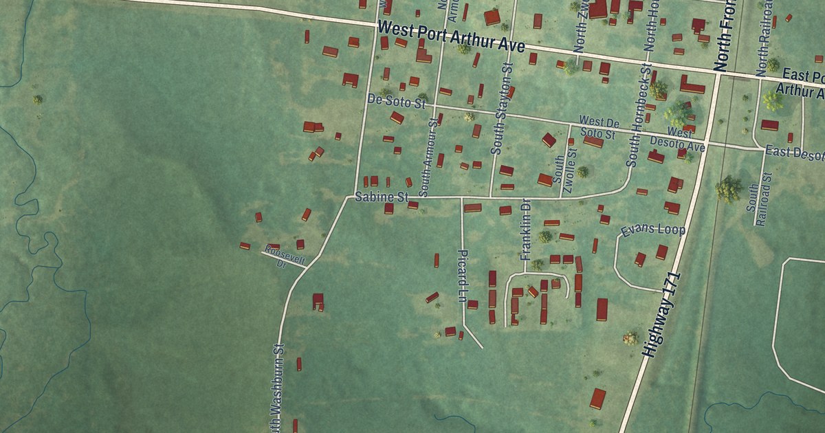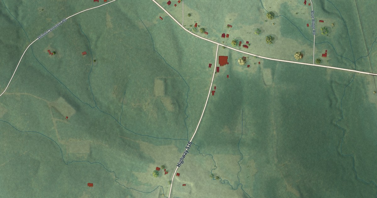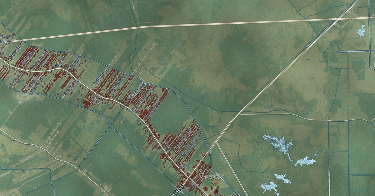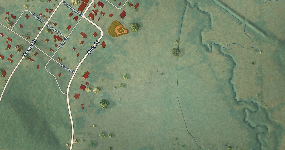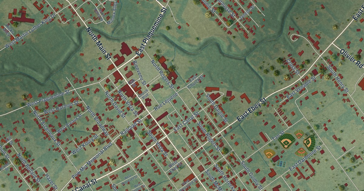
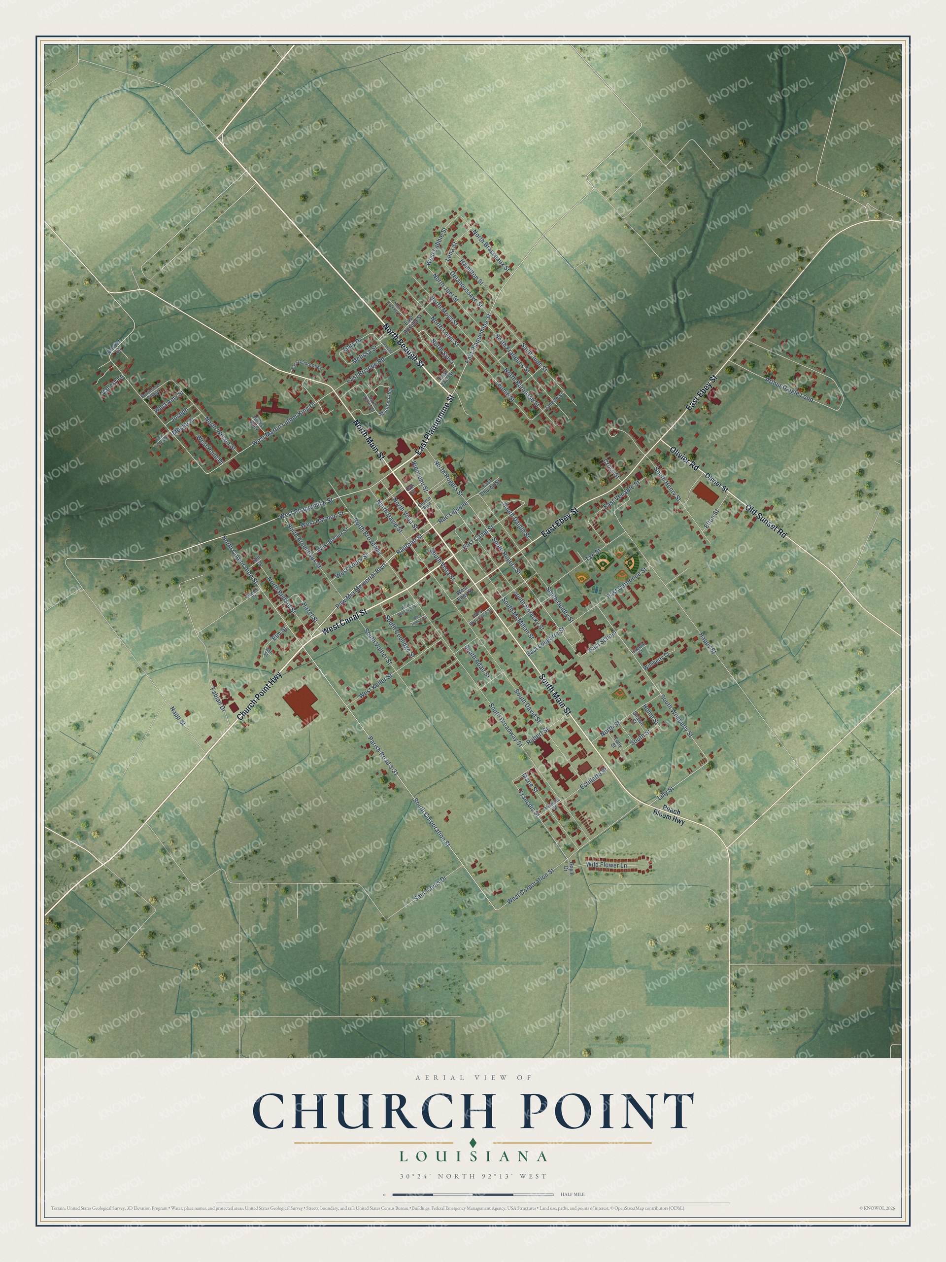
This beautifully detailed map of Church Point, Louisiana was created in 2026 using aerial imagery combined with modern topographical, census, street and landmark data. It's a modern aerial view of Church Point in Acadia Parish, Louisiana, that combines modern data with a vintage aesthetic. The roads feature printed names, and if you look closely you can find your exact house accurately shown in its correct location.
Explore an aerial view of Church Point, Louisiana
On this map you'll find Church Point Highway, North Beaugh Street, East Plaquemine Street, South Main Street, West Canal Street, North Main Street, East Ebey Street, Old Sunset Road, Olivier Road, Railroad Street, Pow Mia Memorial Boulevard, West Plaquemine Street, and more. Each red shape is a building, so zoom in on the preview and look for yours.
Every town has a first chapter, and Church Point is no exception. The Acadia Parish Genealogy Trails puts it this way: "CHURCH POINT: In 1872, a U.S. Post Office official in seeking for a name for the post office between two settlements, decided on the name because of a church with a high steeple in one of the settlements."
Church Point is a town in Acadia Parish. The Census Bureau counted 4,179 people here in 2020.
Take a closer look at the Church Point map
Names on this map
These names are printed on this map.
Streets and roads: Church Point Highway, North Beaugh Street, East Plaquemine Street, South Main Street, West Canal Street, North Main Street, East Ebey Street, Old Sunset Road, Olivier Road, Railroad Street, Pow Mia Memorial Boulevard, West Plaquemine Street.
More street names, A to Z
Annette Street, Arthur Daigle Loop, Ash Street, Bienvenu Street, Carrier Lane, Centennial Village, Church Boulevard, Cross Street, Delahoussaye Street, East Briscoe Road, East Canal Street, East Church Street, East Darbonne Street, East Guidry Alley, East Jack Street, East Lougarre Street, East Rosella Street, East School, East Venable Street, Elm Street, Elton Street, Estillette Street, Fabian Drive, Francois Street, Gary Drive, Gayle Drive, Hamilton Street, Happy Street, Hazel Street, Hicks Alley, Hill Street, Homer Street, Home Street, Isabelle Street, Janelle Street, Joseph, Lena Street, Leonie Street, Lilly Street, Marie Street, Meche Street, Melissa Street, Michelle Street, Minnex Alley, Napp Street, North Arceneaux Street, North Barousse Street, North Bellard Street, North Brasseaux Street, North Broadway, North Corporation Street, North David Street, North Franques Street, North Huckaby Street, North Joel Street, North Kelley Street, North Louis Street, North Moss Street, North Rogers Street, North Street, North Sylva, North Vista Street, North Wilson Street, Oak Street, Olivier Street, Parish Road 3-31, Peach Bloom Highway, Robert Street, Rue Lejuene, Saint Jude Street, Saint Louis Drive, Shawn Street, South Adair Street, South Broadway Street, South Coolidge Street, South Corporation Street, South Daigle Street, South David Street, South Guidry Street, South Henry Street, South Horecky Street, South McMillan Street, South Rogers Street, South Street, South Vista Street, South Voitier Street, South Wimberly Street, Tan Street, Tony Street, Vallery Lane, West Amy Street, West Breaux Street, West Broussard Street, West Corporation Street, West Ebey Street, West Handy Street, West Harmon Street, West Hoover Street, West Keller Street, West Koury Street, West Labbie Street, West Martin Luther King Drive, West Point Drive, West Roosevelt Street, Wild Flower Lane, Wimberly Court.
Created by KNOWOL in 2026. The buildings are small red shapes, the roads carry their printed names, and shaded relief shows the shape of the land. The title panel reads "AERIAL VIEW OF CHURCH POINT LOUISIANA" with 30°24' NORTH 92°13' WEST.
Hang it in the hallway, the office or the cabin, or give it to someone who left Church Point and still calls it home. Open the preview and look for a street you know. See sizes and frames for the Church Point map.