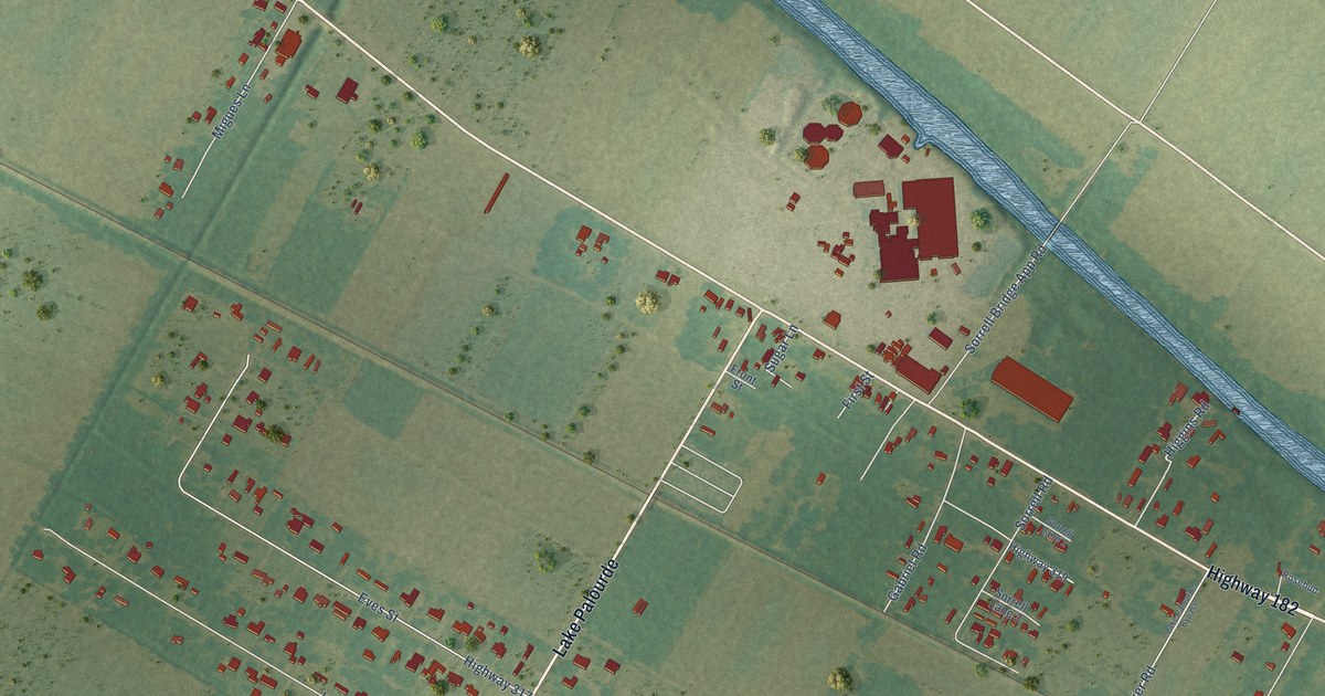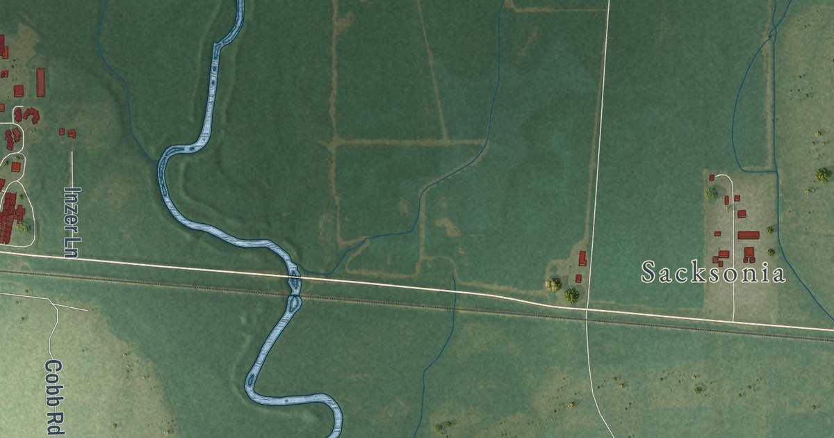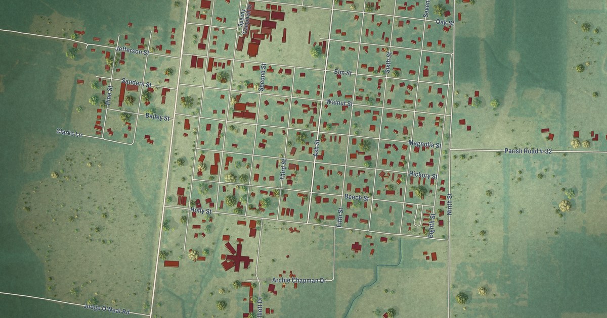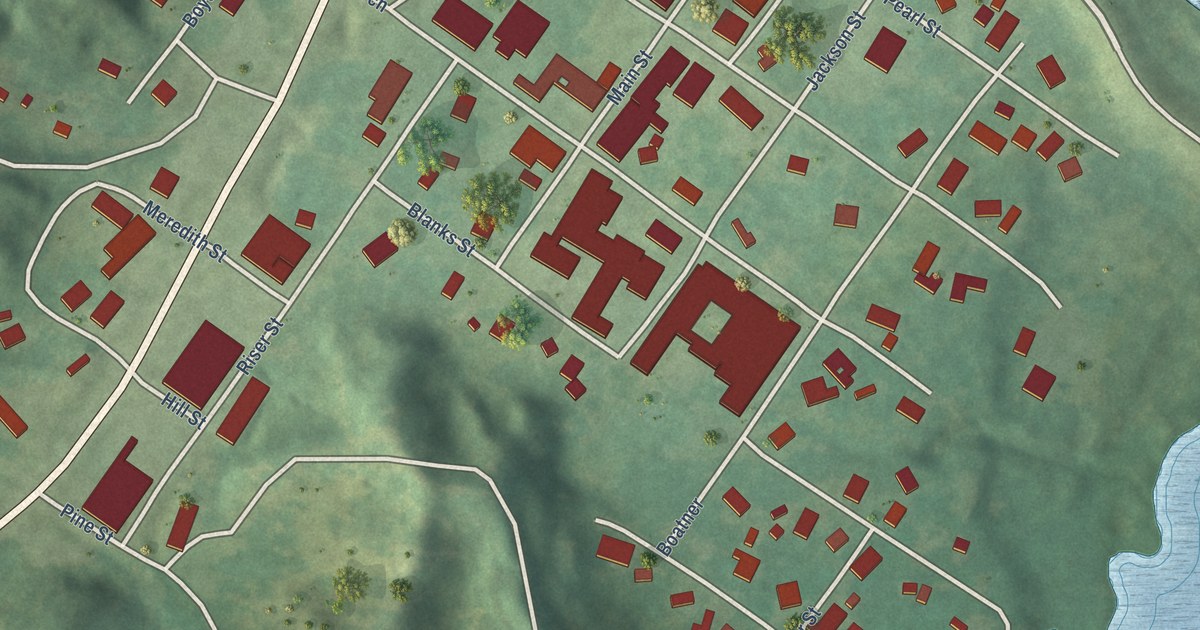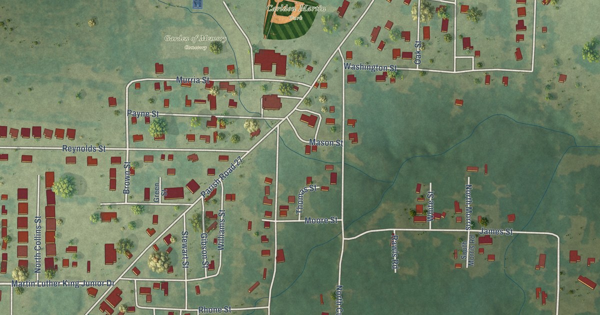
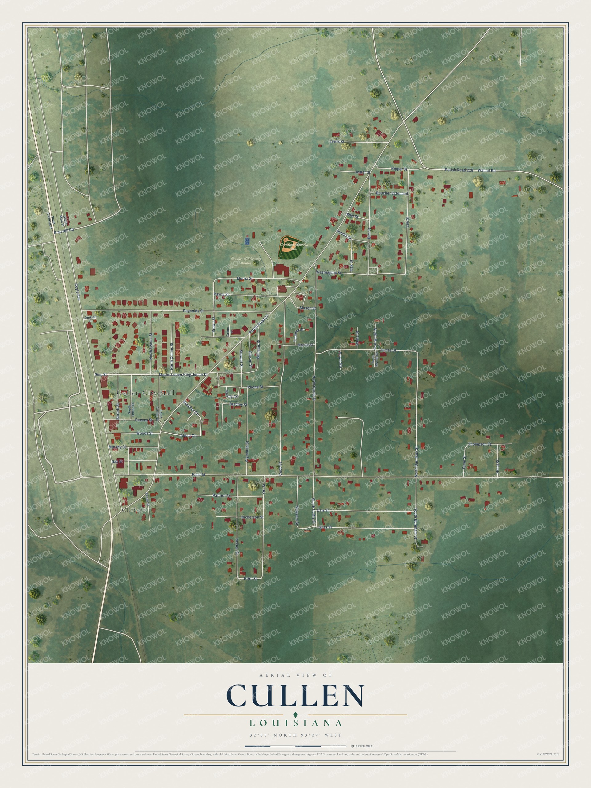
This beautifully detailed map of Cullen, Louisiana was created in 2026 using aerial imagery combined with modern topographical, census, street and landmark data. It’s a one-of-a-kind view of Cullen that combines accurate data with a vintage aesthetic. The map shows every building in its true location, many of the roads carry their names, and the shaded topographic relief shows the shape of the land.
Explore an aerial view of Cullen, Louisiana
On the map you’ll find Cullen City Hall, Clifford, Carldon Martin Park, Garden of Memory Cemetery, and Parish Road 27, along with Martin Luther King Junior Drive, Pine Street, Pine Hill Road, Brown Street, North Burnham Street, Horn Street, East Road, and more. If you look closely you can even find your house accurately drawn in its correct location. Zoom in on the preview to look for yours.
Did you know this piece of Cullen, Louisiana history?
From the LSU Press: "Before 1936, the land on which Cullen now stands was a plantation owned by H. J. Coyle; the Louisiana and Arkansas train stop and the mercantile store, which Coyle owned and operated, were both known as Clifford."
Take a closer look at the Cullen map
Street and place names on the Cullen, Louisiana map
These names are printed on the map of Cullen, Louisiana.
Places: Cullen City Hall, Clifford, Carldon Martin Park and Garden of Memory Cemetery.
Streets and roads: Martin Luther King Junior Drive, Pine Street, Pine Hill Road, Brown Street, North Burnham Street, Horn Street, Parish Road 27, East Road, Coyle Avenue, North Curtis Street, Reynolds Street, Cobb Street.
More street names, A to Z
Abbot Circle, Barrett Street, Boucher Circle, Boucher Extended, Bradley Street, Carr Street, Dunn Street, Ellis Street, Elm Street, Gibson Street, Giles Street, Green Street, Hood Street, James Street, Jenkins Lane, Jester Street, Lee Street, Lewis Street, Mason Street, Moore Street, Murphy Street, Murria Street, Nelson Street, Newsom Street, Nickerson Street, Nipper Street, North Collins Street, North Lemon Street, North Morris, Oak Street, Orr Street, Pafford Street, Parish Road 228, Payne Street, Pecan Street, Plymouth Street, Randy Circle, Rawls Road, Ray Street, Reeves Street, Rhone Street, South Arkansas Street, South Burnham Street, South Collins Street, South Curtis Street, South Lemon Street, South Main Street, South Morris Road, Stewart Street, Sumlin Street, Thomas Street, Thompson Street, Walnut Road, Washington Street, White Street, Williams Street, Woods Street.
See the Cullen, Louisiana map on a wall
The Cullen map as an 18 x 24 inch print in a black frame.

This beautifully detailed map of Cullen makes an attractive addition to your office, library, or den, and it can even be used to teach children the geography and history of the area. It also makes a great gift for anyone with Cullen roots. When you’re done exploring, click here to get your copy of the Cullen map.