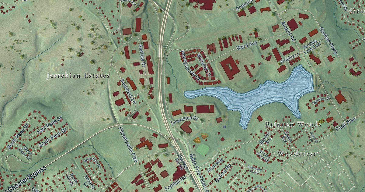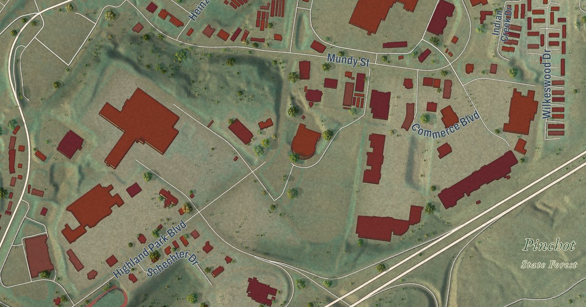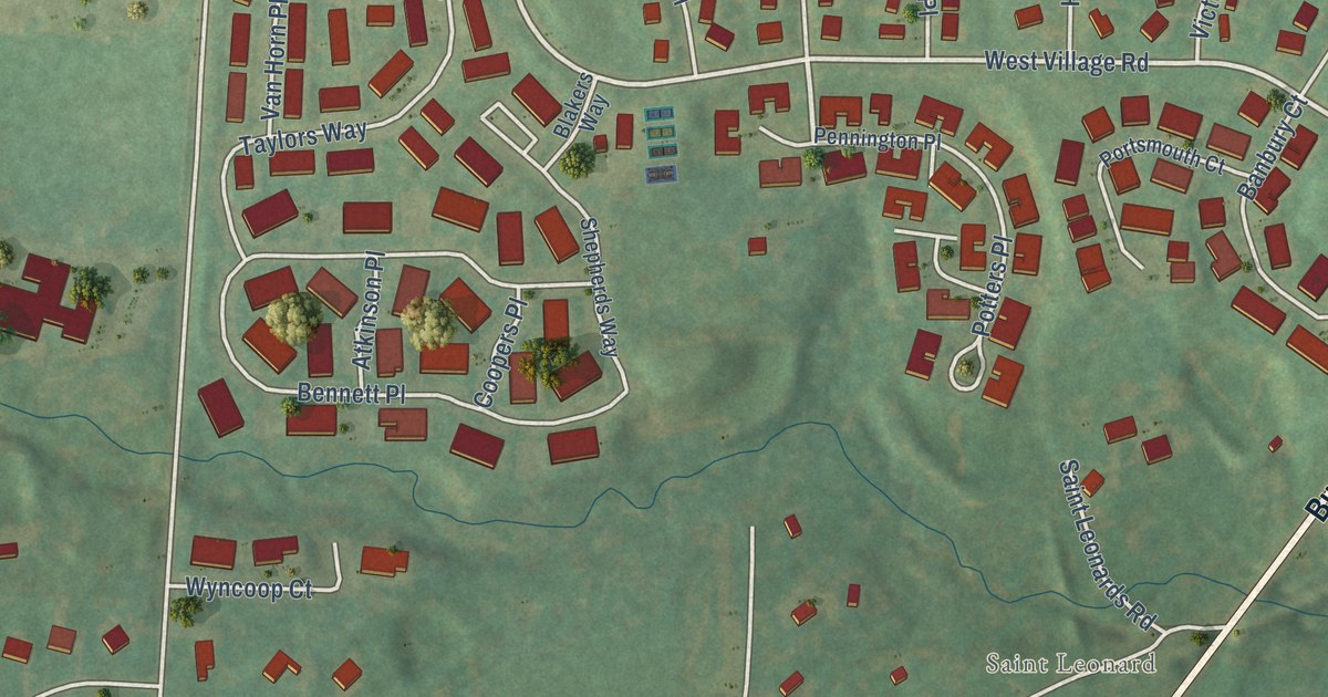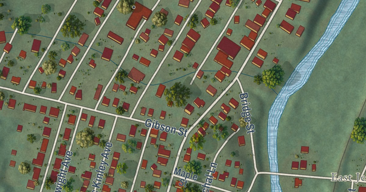
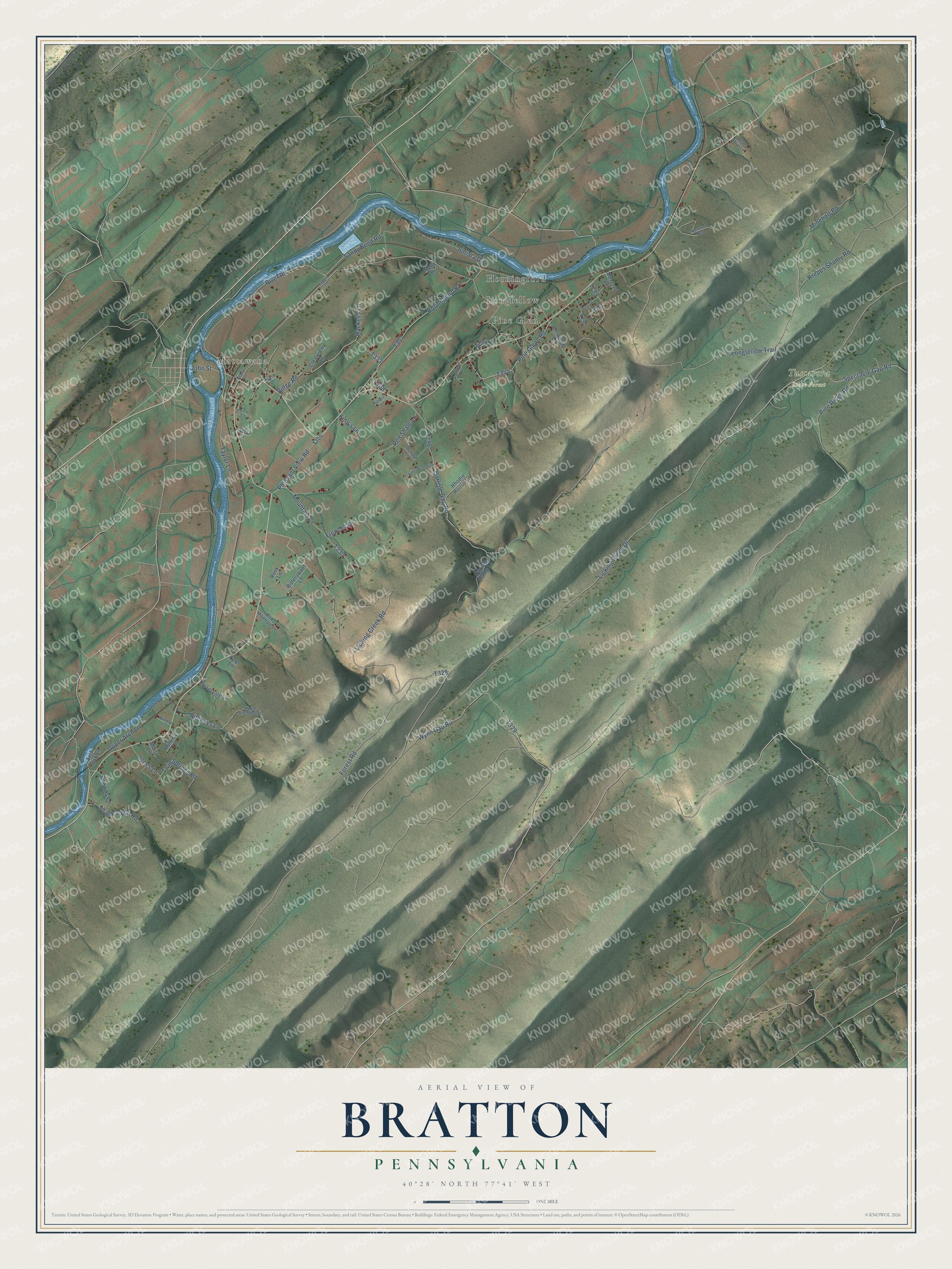
This beautifully detailed map of Bratton, Pennsylvania was created in 2026 using aerial imagery combined with modern topographical, census, street and landmark data. It’s a one-of-a-kind view of Bratton that combines accurate data with a vintage aesthetic. The map shows every building in its true location, many of the roads carry their names, and the shaded topographic relief shows the shape of the land.
Explore an aerial view of Bratton, Pennsylvania
On the map you’ll find Mattawana, Tuscarora State Forest, Horningford, Longfellow, and Pine Glen, along with Longfellow Trail, Licking Creek Road, Forest Road, Wynn Gap Road, and more. If you look closely you can even find your house accurately drawn in its correct location. Zoom in on the preview to look for yours.
Did you know this piece of Bratton, Pennsylvania history?
From the Mifflin PAGenWeb: "The first actual settler in what is now the township of Bratton was Andrew Bratton, who, with Samuel Holliday, his brother-in-law, came over the mountains early in 1755, in search of lands on which to locate."
Take a closer look at the Bratton map
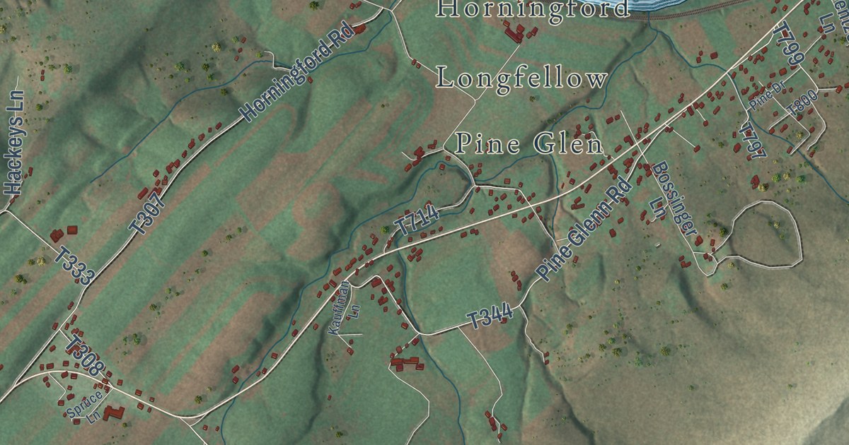
Street and place names on the Bratton, Pennsylvania map
These names are printed on the map of Bratton, Pennsylvania.
Places: Mattawana, Tuscarora State Forest, Horningford, Pine Glen and Longfellow.
Streets and roads: John Street, Longfellow Trail, Licking Creek Road, Forest Road, Pine Glenn Road, Licking Creek Drive, River Road, Carlisle Gap Road, Taylor Lane, Horningford Road, Mountain Lane, Wynn Gap Road.
More street names, A to Z
Appleby Lane, Arch Rock Lane, Bittersweet Lane, Bitter Wind Boulevard, Blue Mountain Lane, Blue Oval Lane, Bossinger Lane, Browns Lane, Buckshot Run, Carlisle Camp Lane, Clearview Lane, Dietz Lane, Dubois Lane, Frenchs Lane, Hackeys Lane, Hesserville Lane, Jets Lane, Jones Lane, Juniata Drive, Kauffman Lane, King's Lane, Krepps Shanty Road, Mel's Lane, Mentzer Lane, Miller's Lane, Minehart Road, Moist Lane, Orchard Lane, Pine Drive, Pine Ridge Road, Plank Lane, Pleasant View Road, Red Shale Lane, Rhodie House Lane, Ridge Road, Ritcheys Lane, Ronk Lane, Sandy Bend Road, Shank's Run Road, Spectacle Gap Road, Spruce Lane, Ten Acre Lane, Twin Springs Road, Tyler Lane, Upper Arch Lane, Upper Ritcheys Lane.
See the Bratton, Pennsylvania map on a wall
The Bratton map as an 18 x 24 inch print in a black frame.

This beautifully detailed map of Bratton makes an attractive addition to your office, library, or den, and it can even be used to teach children the geography and history of the area. It also makes a great gift for anyone who grew up in Bratton or moved away. When you’re done exploring, click here to get your copy of the Bratton map.