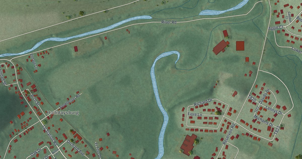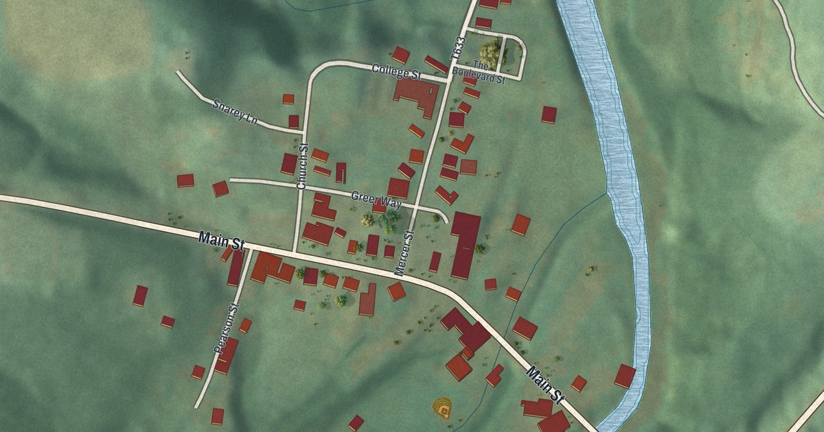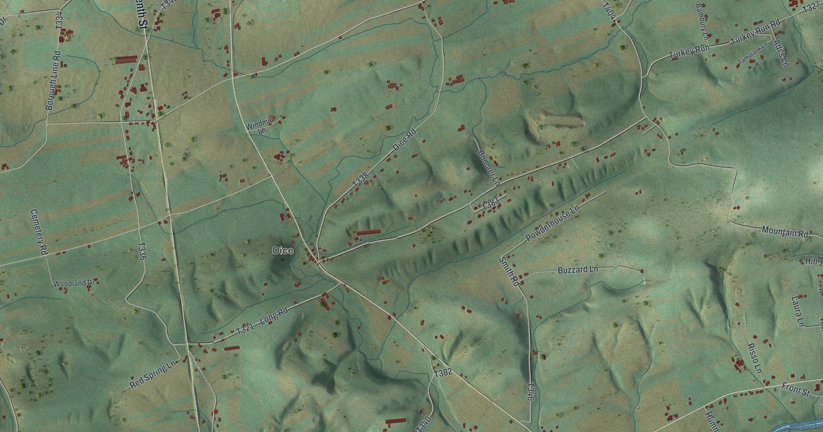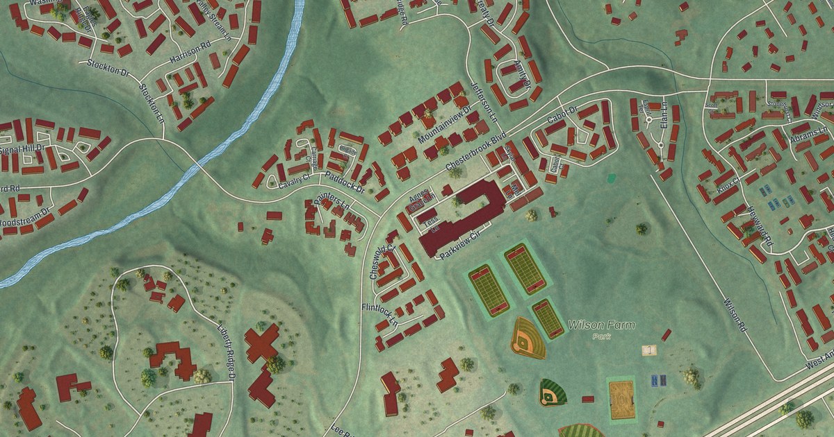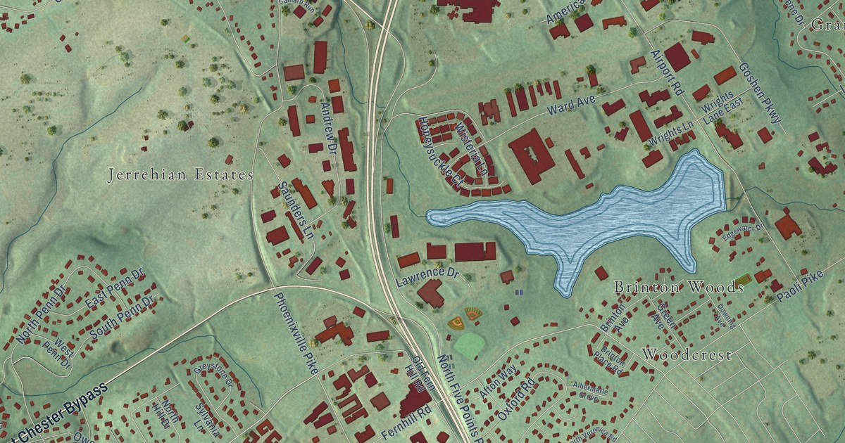
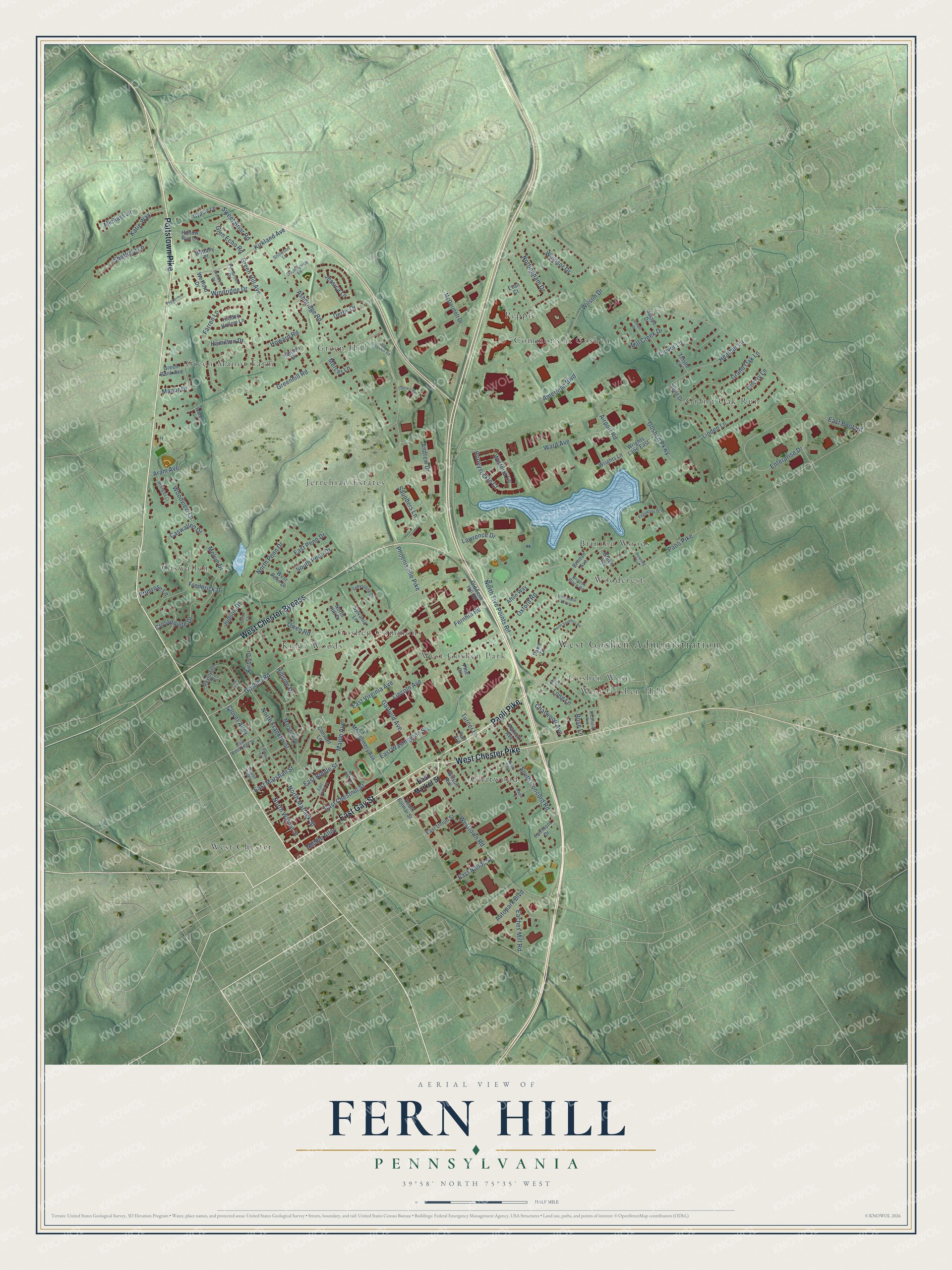
This beautifully detailed map of Fern Hill, Pennsylvania was created in 2026 using aerial imagery combined with modern topographical, census, street and landmark data. It’s a one-of-a-kind view of Fern Hill that combines accurate data with a vintage aesthetic. The map shows every building in its true location, many of the roads carry their names, and the shaded topographic relief shows the shape of the land.
Explore an aerial view of Fern Hill, Pennsylvania
On the map you’ll find West Goshen Administration, Grand Oak Run, West Chester, Green Hill, Caswallen, Brinton Woods, Green Manor Farm, Chatwood, Pepple, Goshen Commons, Jerrehian Estates, West Goshen Park, and more. If you look closely you can even find your house accurately drawn in its correct location. Zoom in on the preview to look for yours.
Did You Know?
From Internet Archive: "Louis Clapier, who owned Fern Hill, west of Wayne Junction Station, ought to be remembered for one practical saying of a charitable nature."
Fern Hill is a community in Chester County.
Take a closer look at the Fern Hill map
Names on this map
These names are printed on this map.
Places: West Goshen Administration, Grand Oak Run, West Chester, Green Hill, Caswallen, Brinton Woods, Green Manor Farm, Chatwood, Pepple, Goshen Commons, Jerrehian Estates, West Goshen Park, Kirby Woods, Commons at Goshen, Woodcrest, Goshen West and West Goshen Hills.
Streets and roads: Pottstown Pike, East Gay Street, Paoli Pike, West Chester Bypass, West Chester Pike, Goshen Road, Fernhill Road, Kirkland Avenue, Enterprise Drive, Glen Echo Road, North Franklin Street, East Washington Street.
More street names, A to Z
Afton Way, Airport Road, Albermarle Grove, Amalfi Drive, American Boulevard, Andrew Drive, Aram Avenue, Ashbridge Road, Autopark Boulevard, Baylowell Drive, Birch Alley, Brinton Avenue, Brinton Place Road, Brittany Place, Camaro Run, Caswallen Drive, Chatwood Avenue, Cherry Lane, Chiswick Drive, Clover Alley, Clover Lane, Convent Lane, Countryside Lane, Crosspointe Drive, Dawn Drive, Derby Drive, Downing Avenue, Eaches Mill Road, East Ashbridge Street, East Biddle Street, East Boot Road, East Chestnut Street, East Evans Street, East Market Street, East Marshall Street, East Nields Street, East Penn Drive, East Union Street, East Virginia Avenue, Edgewater Drive, Elbow Lane, Evan Court, Fairmont Drive, Farren Lane, Frederick Drive, Furr Avenue, Garfield Avenue, Goshen Parkway, Grand Oak Lane, Green Avenue, Green Bank Avenue, Green Hill Avenue, Greenhill Road, Greystone Drive, Gypsie Lane, Hamilton Drive, Hansen Drive, Heather Lane, Hidden Hollow Lane, Hillside Drive, Hollow Run Lane, Honeysuckle Court, House Alley, Howard Road, Irene Drive, Jaclyn Drive, Jessica Lane, Judson Drive, Katie Way, Kirby Drive, Lawrence Drive, Lincoln Avenue, Linden Lane, Long Lane, Lori Lane, Manor Drive, Maple Avenue, Maple Lane, Marshall Drive, McDermott Drive, Melvin Drive, Mercer Lane, Michael Lane, Middle Alley, Mill Creek Drive, Montgomery Avenue, North Five Points Road, North Hill Drive, North Matlack Street, North Penn Drive, North Penn Street, North Veronica Road, North Walnut Street, Nottingham Drive, Old Fern Hill Road, Old Greenhill Road, Olivia Court, Owen Road, Oxford Road, Patrick Avenue, Peaceful Lane, Pembroke Drive, Peppermill Lane, Phoenixville Pike, Pine Circle, Primrose Lane, Richfield Avenue, Rose Lane, Rue Lane, Saunders Lane, Sheffield Lane, South Bolmar Street, South Concord Road, South Penn Drive, Stillwood Lane, Sweet Briar Road, Sylvania Lane, Thistle Lane, Turner Lane, Ward Avenue, West Penn Drive, Westtown Road, Wexford Drive, Wilson Avenue, Wilson Drive, Windridge Drive, Windsor Drive, Wisteria Lane, Woodview Lane, Wrangley Court, Wrights Lane, Wrights Lane East.
See it on a wall
The Fern Hill map as a framed print. Swipe for more.


This beautifully detailed map of Fern Hill makes an attractive addition to your office, library, or den, and it can even be used to teach children the geography and history of the area. It also makes a great gift for anyone who grew up in Fern Hill or moved away. When you’re done exploring, click here to get your copy of the Fern Hill map.