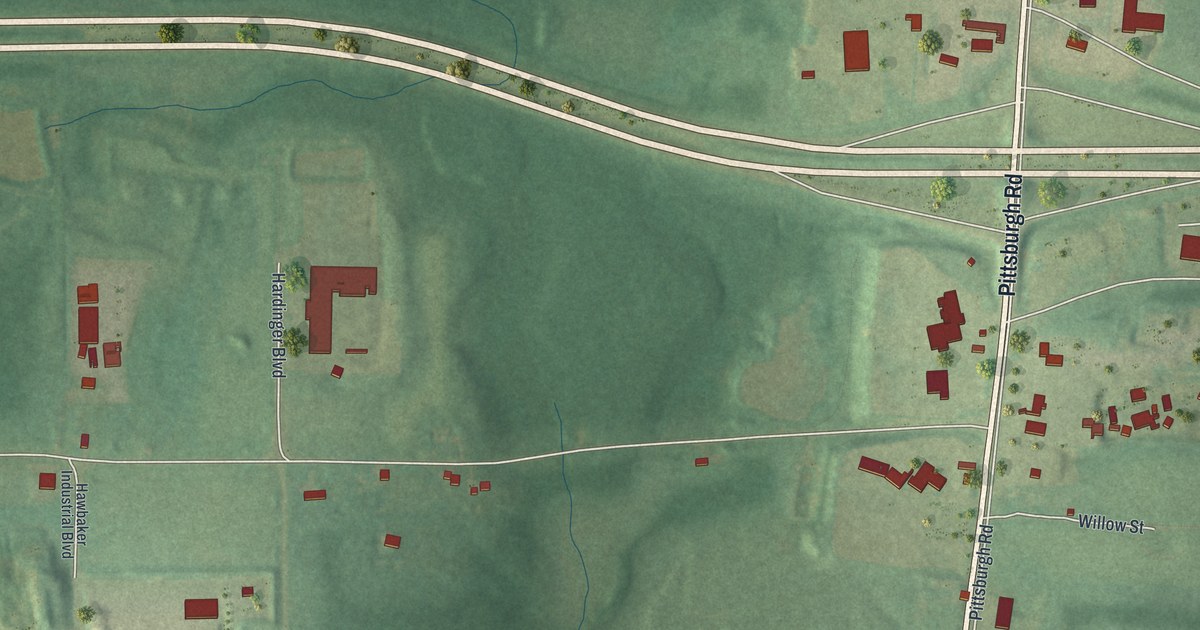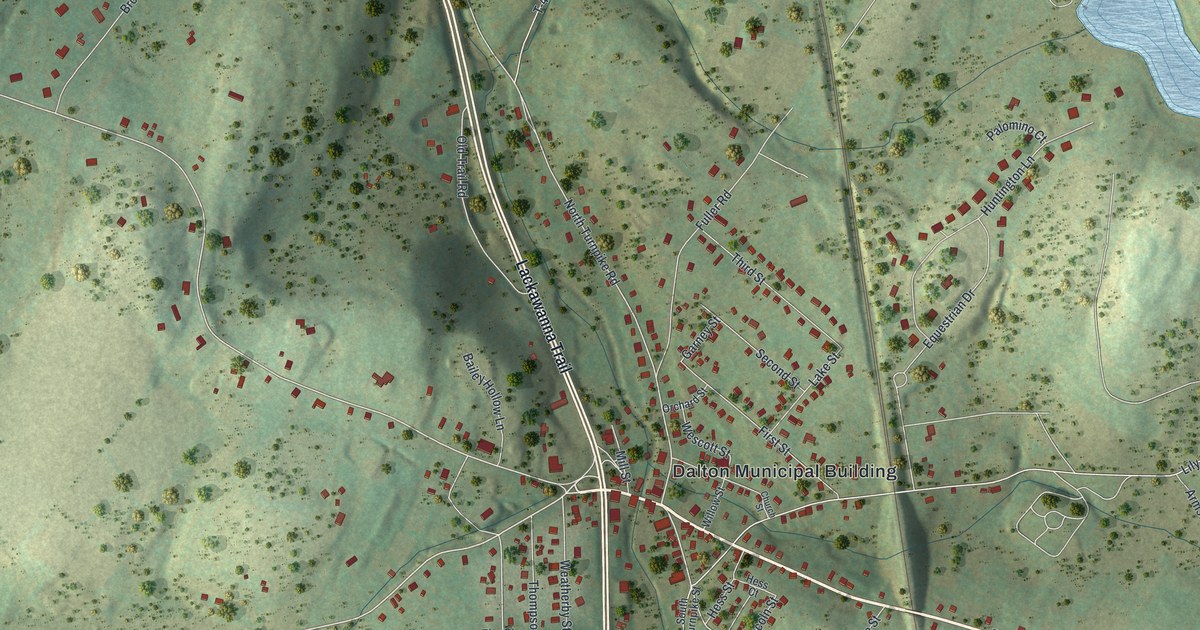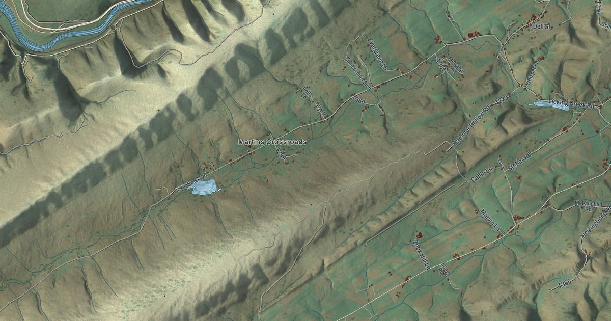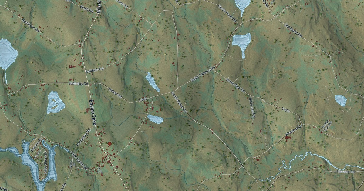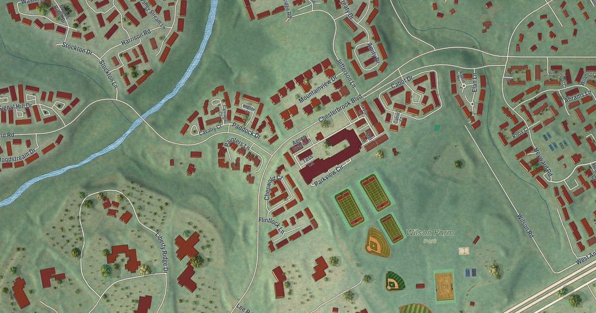
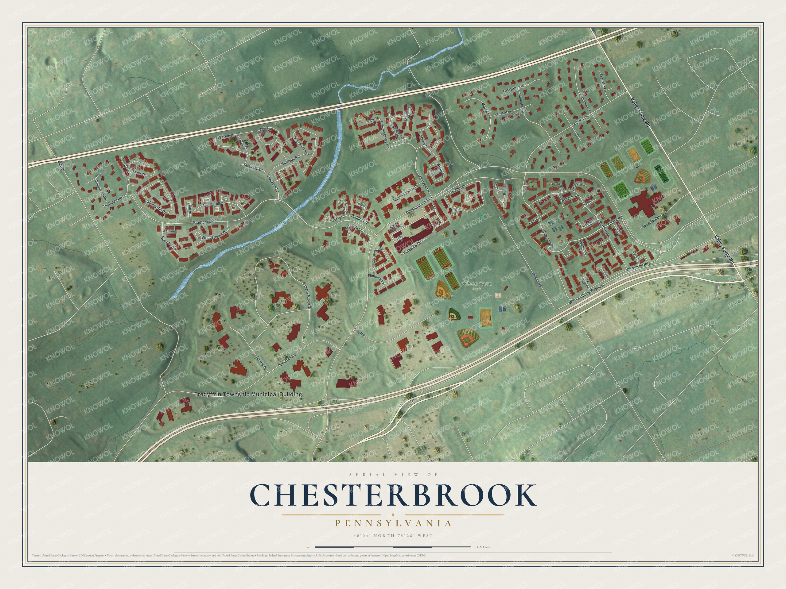
This beautifully detailed map of Chesterbrook, Pennsylvania was created in 2026 using aerial imagery combined with modern topographical, census, street and landmark data. It's a modern aerial view of Chesterbrook in Chester County, Pennsylvania, that combines modern data with a vintage aesthetic. The roads feature printed names, and if you look closely you can find your exact house accurately shown in its correct location.
Explore an aerial view of Chesterbrook, Pennsylvania
On this map you'll find Tredyffrin Township Municipal Building, Wilson Farm Park, Valley Forge Road, Paddock Drive, Elan Lane, Chase Road, West Anthony Wayne Drive, Parkview Circle, Liberty Ridge Drive, Chesterbrook Boulevard, Bradford Road, Duportail Road, and more. Each red shape is a building, so zoom in on the preview and look for yours.
Chesterbrook is a community in Chester County. The Census Bureau counted 5,610 people here in 2020. Chesterbrook sits about 2 miles northwest of Devon, 2 miles north of Berwyn and 3 miles northeast of Paoli. The map prints the town name in its title panel, with the coordinates below it.
Take a closer look at the Chesterbrook map
Names on this map
These names are printed on this map.
Places: Tredyffrin Township Municipal Building and Wilson Farm Park.
Streets and roads: Valley Forge Road, Paddock Drive, Elan Lane, Chase Road, West Anthony Wayne Drive, Parkview Circle, Liberty Ridge Drive, Chesterbrook Boulevard, Bradford Road, Duportail Road, Mill Road, Wilson Road.
More street names, A to Z
Abrams Lane, Adams Drive, Agnes Grace Lane, Amity Drive, Armstrong Court, Bartlett Road, Brandywine Lane, Brigade Court, Burgoyne Road, Cabot Court, Cabot Drive, Carriage Court, Cavalry Court, Cheswold Court, Curtis Court, Danor Court, Dickinson Road, Eagles Ridge Drive, Esprit Terrace, Fairfax Court, Flintlock Lane, Franklin Lane, Hancock Lane, Hanover Court, Harrison Road, Headhouse Court, Heyward Road, Iroquois Court, Jefferson Lane, Knox Court, Lafayette Lane, Lantern Lane, Lee Road, Le Forge Court, Main Street, Mel Lane, Militia Hill Drive, Millhouse Pond, Morgan Lane, Morris Drive, Mountainview Drive, Musket Lane, Newport Drive, Painters Lane, Rittenhouse Court, Salomon Lane, Scott Court, Signal Hill Drive, Skylar Lane, Springhouse Pond, Stockton Drive, Stockton Lane, Stonehurst Court, Sturbridge Lane, Sullivans Bridge Road, Tess Lane, Tilghman Road, Treaty Drive, Valley Stream Circle, Valley Stream Lane, Washington Place, Wellfleet Lane, West Walker Road, Windsor Circle, Woodstream Drive.
See it on a wall
The Chesterbrook map as a framed print. Swipe for more.


Created by KNOWOL in 2026. The buildings are small red shapes, the roads carry their printed names, and shaded relief shows the shape of the land. The title panel reads "AERIAL VIEW OF CHESTERBROOK, PENNSYLVANIA" with 40°04' NORTH 75°28' WEST.
It suits a den, a classroom or a front hall, and it makes a gift for anyone with Chesterbrook roots. Open the preview and find the block you know. See sizes and frames for the Chesterbrook map.