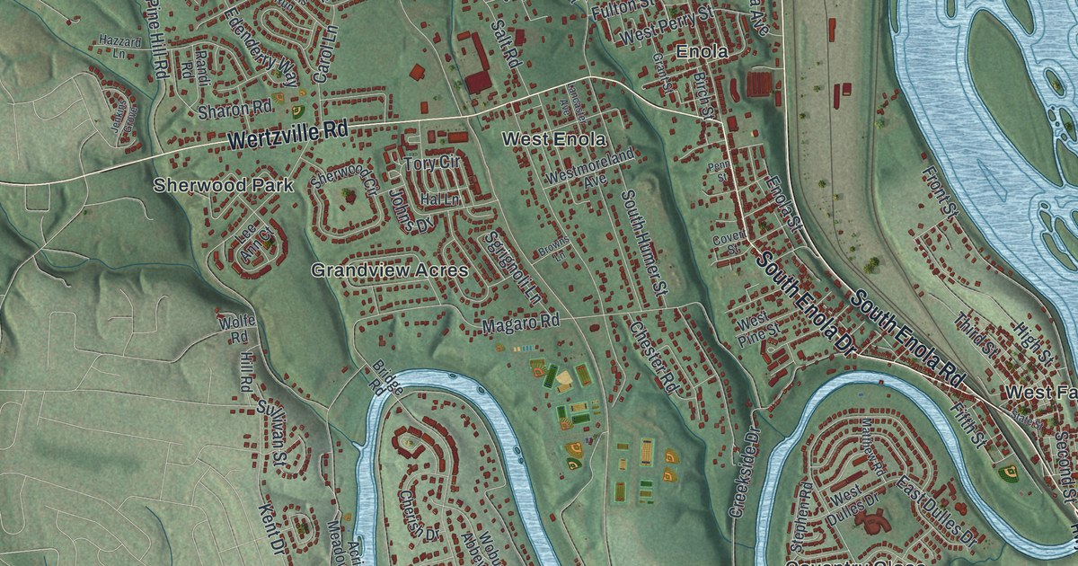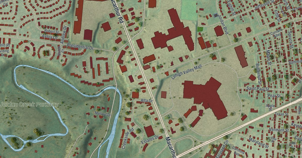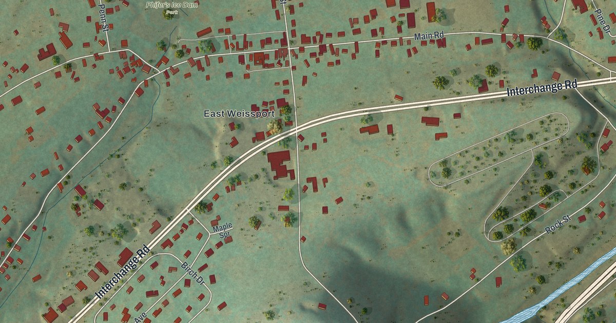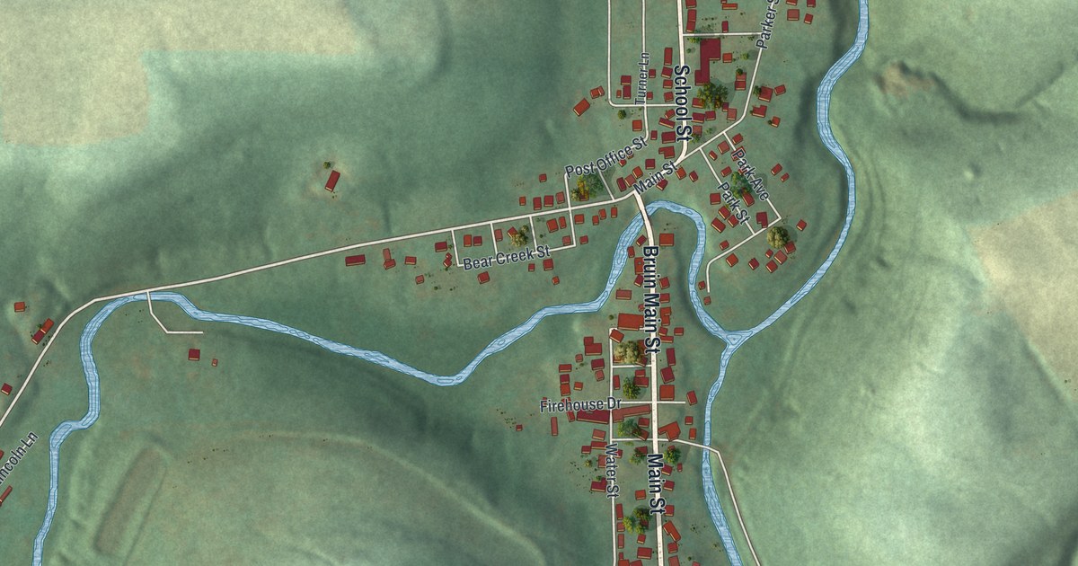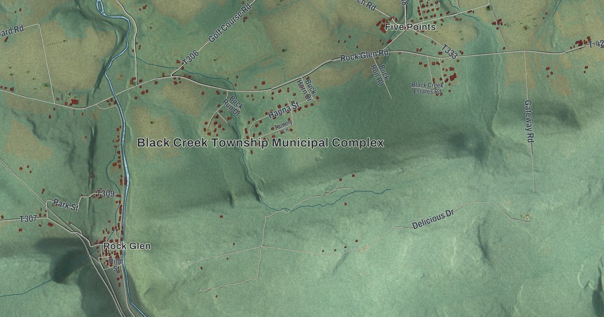
This beautifully detailed map of Black Creek, Pennsylvania was created in 2026 using aerial imagery combined with modern topographical, census, street and landmark data. It’s a one-of-a-kind view of Black Creek that combines accurate data with a vintage aesthetic. The map shows every building in its true location, many of the roads carry their names, and the shaded topographic relief shows the shape of the land.
Explore an aerial view of Black Creek, Pennsylvania
On the map you’ll find Black Creek Township Municipal Complex, Weston, Gum Run, Derringer, Fern Glen, Five Points, Glen Junction, Gowen, Gowen Breaker Station, Mountain Grove, Nuremberg, Rock Glen, and more. If you look closely you can even find your house accurately drawn in its correct location. Zoom in on the preview to look for yours.
Did you know this piece of Black Creek, Pennsylvania history?
From the Luzerne PAGenWeb: "The first schoolhouse was Rittenhouse's old log cabin residence; he had built a frame soon after the sawmill was started; the first teacher was a man named Tripp."
Take a closer look at the Black Creek map
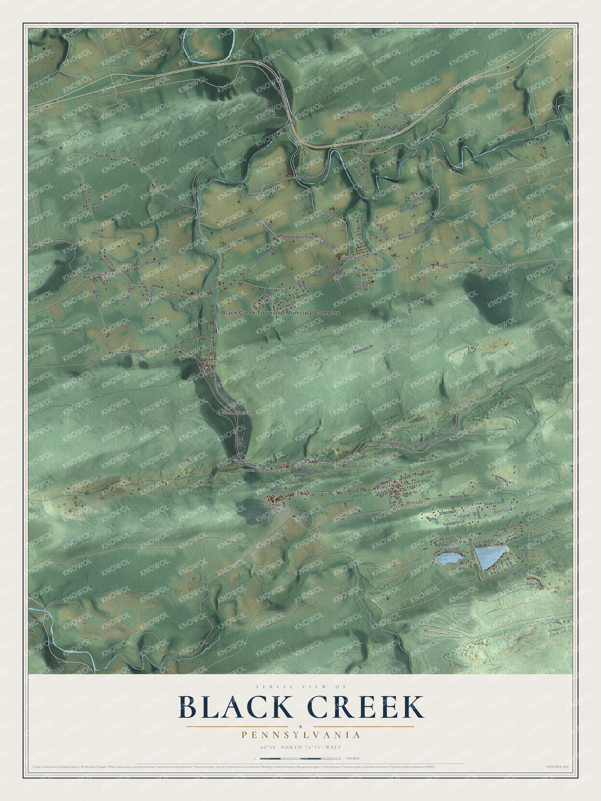
Street and place names on the Black Creek, Pennsylvania map
These names are printed on the map of Black Creek, Pennsylvania.
Places: Black Creek Township Municipal Complex, Weston, Gum Run, Derringer, Fern Glen, Five Points, Glen Junction, Gowen, Gowen Breaker Station, Mountain Grove, Nuremberg and Rock Glen.
Streets and roads: Cedar Head Road, Tomhicken Road, T-431, Sr3016, Tank Road, Larock Road, Main Street, Tomhickon Road, Walnut Street, Mountain Laurel Trail, Derrnger, Iroquois Circle.
More street names, A to Z
Bellacoola, Black Creek Estates Road, Boulevard Road, Buck Horn Drive, Buck Run Drive, Buck Run Road, Cabin Lane, Chicks Lane, Church Road, Church Street, Corn Silk Avenue, Dakota Drive, Davey Allison Drive, Delicious Drive, Gateway Road, Golf Course Road, Gross Road, Hanna Street, Hazle Street, Hickory Road, Hilltop Drive, Holow Road, Huron Circle, Hutton Lane, Jumano Drive, Keith & Bonnie Drive, Kiowa Drive, Lake Valley Drive, Line Street, Market Street, Meadow Lane, Methodist Church Road, Mountain Street, Mountian Road, Mount Laurel Trail, Mount Side Drive, North Huron Circle, Nurenberg Mountain Road, Owego Drive, Park Street, Pine Street, Red Rock Road, Reisenweaver Lane, Rock Glen Road, Scotch Valley Road, Seiwell Lane, Shafer Lane, Silver Cloud, Sugarloaf Lane, T-420, Tammy Lane, Tom Hicken Road, Top Street, Tower Road, Turnberry Lane, Tuscarora Drive West, Walden Court, Walden Drive, Walnut, West County Road, West County Road 40, Weston Road, Whitebread Lane, Wichita Drive, Windy Lane, Yazoo Drive, Young Man Lane.
See the Black Creek, Pennsylvania map on a wall
The Black Creek map as an 18 x 24 inch print in a black frame.

This beautifully detailed map of Black Creek makes an attractive addition to your office, library, or den, and it can even be used to teach children the geography and history of the area. It also makes a great gift for someone who left Black Creek and still calls it home. When you’re done exploring, click here to get your copy of the Black Creek map.